Banning, DE
County: Sussex
Zip Code:
Latitude / Longitude: 38° 48′ 22.31 N, 75° 30′ 58.8 W
Elevation:
Time Zone: Eastern (EST) (UTC-5)
Established:
Disestablished:
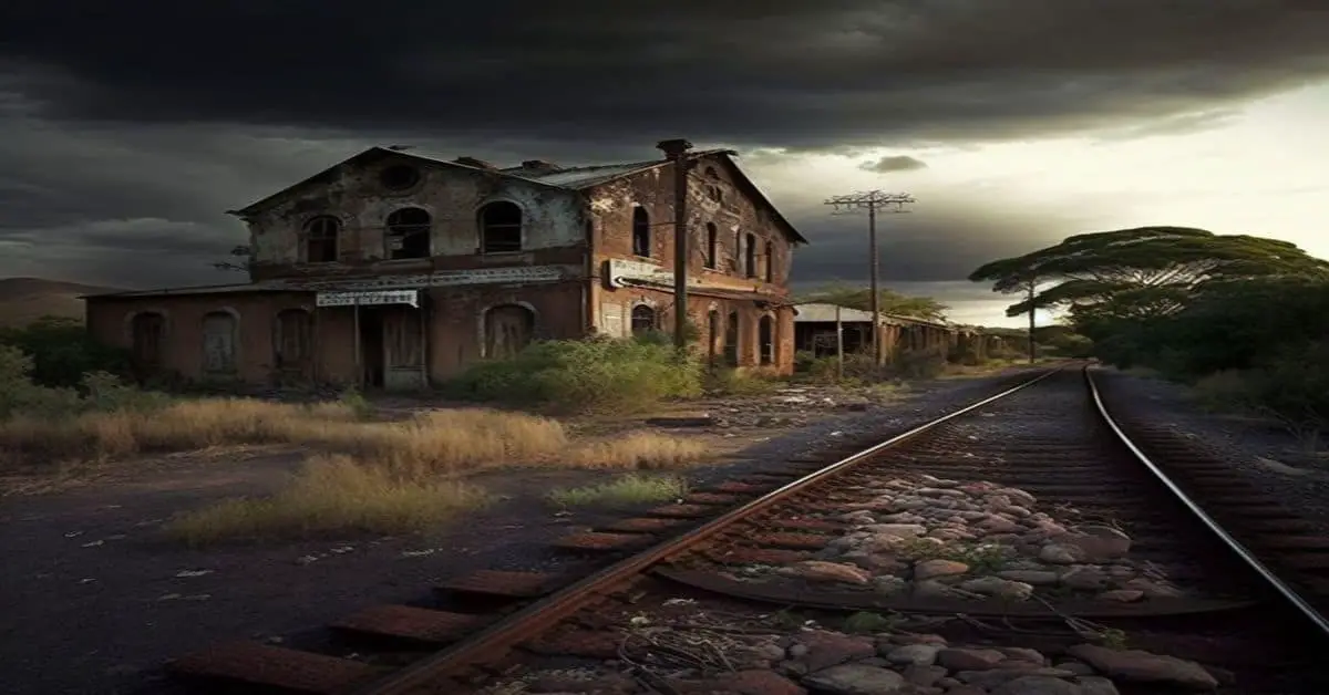
Comments: Banning, Delaware, USA was a stop in Cedar Creek Hundred on the now-defunct Queen Anne’s Railroad line between Ellendale and Greenwood positioned at the NE corner of what now is Rd 44/Blacksmith Shop Rd and DE-16 W/Beach Hwy.
Remains: After the railroad closed down and the tracks were removed, all Banning, Delaware property owned by the railroad was returned to Mark L. Banning, its previous landowner.
Current Status: A small town built around the Banning, Delaware stop disappeared.
Remarks:
Glenville, DE
County:
Zip Code:
Latitude / Longitude: 39° 42′ 45.36 N, 75° 38′ 23.64 W
Elevation:
Time Zone: Eastern (EST) (UTC-5)
Established:
Disestablished: 2004
Comments: The community consisted of development on Bread and Cheese Island, on the east bank of the Red Clay Creek near its mouth, just south of Delaware Route 4 near Stanton. Located in the floodplain for Red Clay Creek, the subdivision has always been prone to floodings, such as flooding from Hurricane Floyd in 1999 and Tropical Storm Henri in 2003.
Remains: After floods caused by Tropical Storm Henri on September 15, 2003, homeowners were bought out by the state and local government, and the community was abandoned in 2004. Demolition began in 2005.
Current Status: Abandoned
Remarks: Glenville is a post-war subdivision located along Delaware Route 4 between Newport and Stanton. Glenville is located near the end of Red Clay Creek, where it empties into White Clay Creek. Since all of the rainwater collected by Red Clay Creek ends up flowing past Glenville, and there is no significant rise in elevation from the banks of the creek, Glenville has been prone to flooding throughout its history. Although Glenville had been hit by floods earlier in the past, three large storms caused enough damage to convince New Castle County to buy out most of the residents and level everything prone to flooding: Hurricane Floyd in 1999, and Tropical Storm Henri and Hurricane Isabel in 2003. These three storms dropped as much as 10 inches of rain in 24 hours and caused Red Clay Creek to have a depth of up to 26 feet at one time, way up from the normal 3 feet.
New Market, DE
County:
Zip Code:
Latitude / Longitude: 38° 48′ 26 N, 75° 23′ 49 W
Elevation:
Time Zone: Eastern (EST) (UTC-5)
Established:
Disestablished:
Comments: New Market was a small town in the U.S. state of Delaware located between Ellendale and Milton. At the current crossroads of Holly Tree Road and Reynolds Pond Road, just east of Ellendale was the New Market Church, around which the town was located.
Remains: None of the towns exists today, although the cemetery from the churchyard is still at the intersection. Some small ranch homes have been built in the area in recent years, but the only namesake to the original town that stood there is New Market Village, a single-wide trailer park a quarter-mile east of the crossroads.
Current Status: None of the town exists today.
Remarks:
Owens Station, DE
County: Sussex
Zip Code:
Latitude / Longitude: 38° 48′ 20 N 75° 31′ 34 W
Elevation: 52 ft (16 m)
Time Zone: Eastern (EST) (UTC-5)
Established:
Disestablished:
Comments: Owens Station, Delaware was a community in Delaware. It was a stop on the now-defunct Queen Anne’s Railroad line between Ellendale and Greenwood. After the railroad closed down and the tracks were removed, all property owned by the railroad was returned to its previous landowners and several small communities built around the stops disappeared.
Remains: The remains of the settlement, now called simply Owens, is an unincorporated community located on Delaware Route 16 east of Greenwood.
Current Status: Some houses still exist from the town, at the intersection of Beach Highway and Owens Rd, but most of the former town has disappeared. One of the more notable properties still referencing the former rail community is the Owens Station Hunting Preserve.
Remarks:
Saint Johnstown, DE
County: Sussex
Zip Code:
Latitude / Longitude: 38° 48′ 18 N 75° 34′ 32 W
Elevation: 52 ft (16 m)
Time Zone: Eastern (EST) (UTC-5)
Established:
Disestablished:
Comments: Saint Johnstown was a stop on the now-defunct Queen Anne’s Railroad line between Ellendale and Greenwood. After the railroad closed down and the tracks were removed, all property owned by the railroad was returned to its previous landowners and several small towns built around the stops disappeared.
Remains:
Current Status:
Remarks:
Zwaanendael (First settlement in the state), DE
County: Sussex
Zip Code: 19958
Latitude / Longitude: 38° 46′ 30 N, 75° 8′ 21.84 W
Elevation: 13 ft (4 m)
Time Zone: Eastern (EST) (UTC-5)
Established: 1631
Disestablished: 1631
Comments: Zwaanendael or Swaanendael /ˈzwɑːnəndɛl/ was a short-lived Dutch colonial settlement in Delaware. It was built in 1631. The name is archaic Dutch for “swan dale [or valley].”
Remains: The site of the settlement later became the town of Lewes, Delaware.
Current Status: The site of the settlement later became the town of Lewes, Delaware.
Remarks:

