Shady Rest, California, located in Mono County, captures the imagination with its evocative name and rich history as a ghost town. Below is detailed information about the town.
County: Mono County
Zip Code: Not available.
Latitude / Longitude: Approximately 37.6498° N, 118.9721° W
Elevation: Around 6,702 feet (2,043 meters)
Time Zone: Pacific Time Zone (PT)
Established: Not available.
Disestablished: Not available.
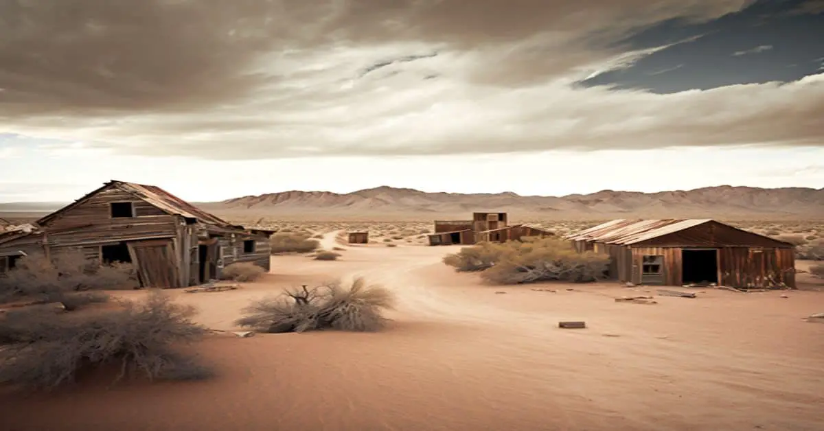
Comments: Shady Rest is a lesser-known ghost town that once thrived in the high-altitude landscapes of Mono County. During the California Gold Rush era, the town likely served as a temporary settlement for miners or travelers moving through the Sierra Nevada region. Its relatively remote location and the harsh conditions of the surrounding terrain contributed to its eventual abandonment.
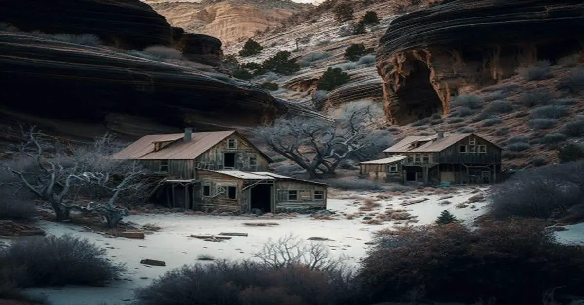
Remains: Not much is left of Shady Rest today. Overgrown vegetation and the encroachment of nature have overtaken any remnants of structures that once stood. The area’s rugged beauty is punctuated by occasional foundations or scattered artifacts that hint at the town’s past.
Current Status: Shady Rest is classified as a ghost town, with no permanent residents or functioning structures. It remains a point of interest for historians and adventurers exploring the echoes of California’s storied past.
Remarks: While not as famous as other ghost towns in California, Shady Rest offers a unique glimpse into the state’s history. It reminds us of the transient nature of settlements that sprang up during the fervor of westward expansion and the quest for fortune.
The town’s legacy is preserved in the stories and artifacts left behind, inviting exploration and reflection on the resilience and impermanence of human endeavor.