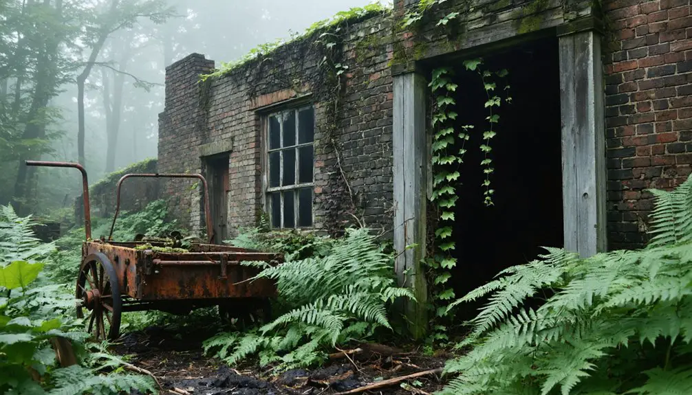
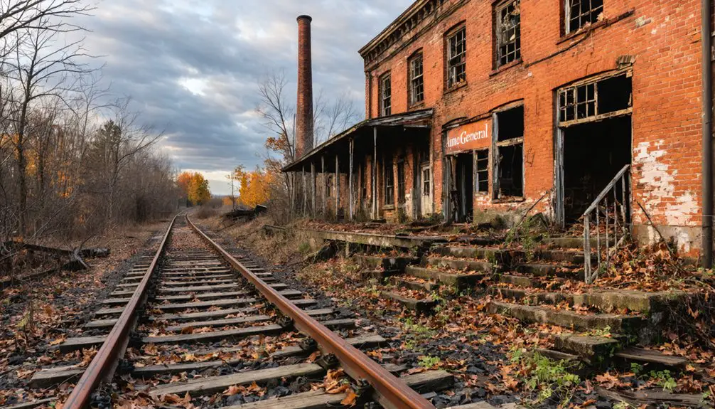
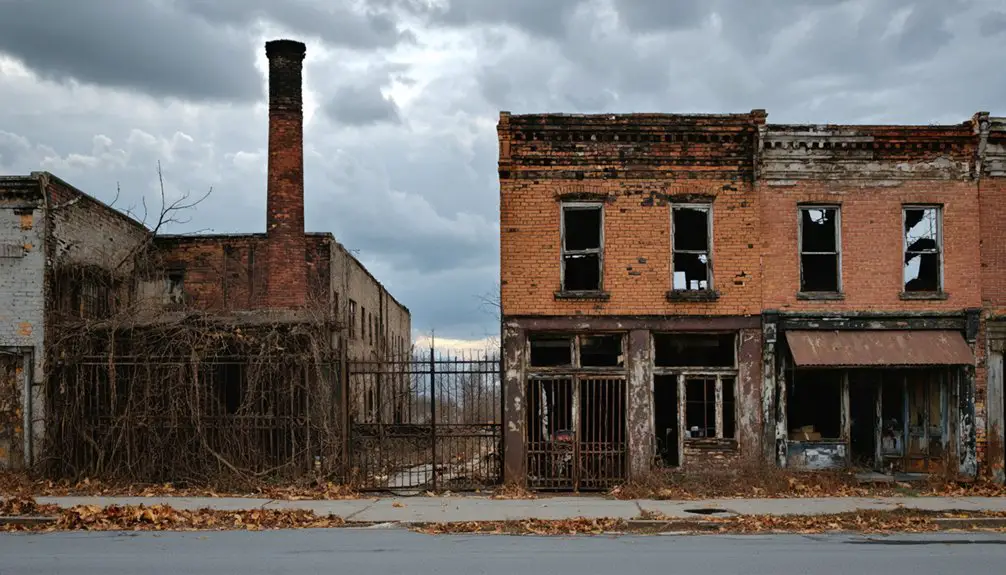
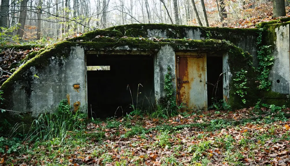
You’ll find the ghost town of Aitch resting beneath Pennsylvania’s Raystown Lake, where it once thrived as a close-knit mountain community established in 1853. Named uniquely from the initials of its founding families, Aitch served about 20 families until 1973, when federal dam construction submerged the town under 8,300 acres of water. Today, fragments of foundations occasionally emerge during rare low-water periods, offering glimpses into this submerged piece of American history.
Key Takeaways
- Aitch, Pennsylvania was a mountain community established in 1853 that now lies completely submerged beneath Raystown Lake.
- The town was flooded in 1973 as part of a $76 million federal dam project that created an 8,300-acre reservoir.
- Physical remnants of Aitch occasionally become visible during rare low-water periods, revealing old foundations and bridge ruins.
- The community’s name came from combining the initials of its founding families: Aumen, Isett, Tom Enyeart, Crum, and Haffley.
- Before submersion, Aitch was home to roughly 20 families and featured a post office and ice cream shop as community gathering places.
The Birth of a Small Mountain Town
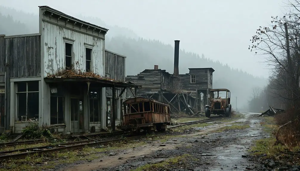
Along the winding tracks of the Huntingdon and Broadtop Mountain Railroad, the town of Aitch emerged in 1853 as a small but crucial mountain community in Huntingdon County, Pennsylvania.
You’ll find the origins of town development in the stories of its founding families – Amuen, Isett, Tom Enyeart, Crum, and Haffley – whose initials formed the town’s unique name. Like many cases requiring clarification, the name Aitch was listed on a special disambiguation page to distinguish it from other uses of the term.
As you explore Aitch’s early days, you’ll discover how community cohesion grew around fundamental establishments like the post office, which opened in 1887, and the local general store.
The town’s strategic location along Route 26 near Marklesburg supported roughly 20 families who built their lives in this mountainous region.
These pioneers created a self-sustaining community where farming, local trades, and railroad commerce formed the backbone of daily life.
The town’s rich history came to an end when the Army Corps of Engineers flooded the area to create Raystown Lake in the 1970s.
Origins Behind the Unique Name
You’ll find the origin of Aitch’s name represents a uniquely collaborative approach, as it’s an acronym formed from the surnames of five founding families: Aumen, Isett, Tom Enyeart, Crum, and Haffley.
While most Pennsylvania mountain towns took their names from geographic features or prominent individuals, Aitch’s distinctive naming method reflected the cooperative spirit of its early settlers.
This communal approach to naming set Aitch apart from other regional settlements and preserved the legacy of its founding families, even after the town disappeared beneath Raystown Lake’s waters. The town’s physical remnants now lie under Raystown Lake as part of a major dam project that forever changed the landscape.
Settler Acronym Formation Process
While many ghost towns derive their names from prominent individuals or geographical features, Aitch, Pennsylvania emerged with a distinctive origin story through its acronymic formation.
You’ll find that five pioneering families – Aumen, Isett, Tom Enyeart, Crum, and Haffley – contributed their surnames to create this unique community identifier. The acronym’s significance extends beyond mere naming, as it represents a collective approach to establishing community identity in late 19th century Appalachia.
Unlike singular founder names or geographic descriptors, this collaborative naming process reflected the settlers’ commitment to shared legacy and permanence. Similar to how coal mining companies shaped Pennsylvania towns, these founding families left an enduring mark on their community’s identity. Located in the Appalachian region, Aitch exemplifies the rich historical tapestry of Pennsylvania’s ghost towns.
When the post office opened in 1887, it officially adopted this family-based acronym, cementing the settlers’ impact on local history and distinguishing Aitch from other Pennsylvania ghost towns.
Early Founding Family Influence
Five pioneering families left an indelible mark on Pennsylvania’s landscape through their namesake settlement of Aitch. The Aumen, Isett, Tom Enyeart, Crum, and Haffley families established their roots in Huntingdon County‘s mountain terrain before 1887, shaping the community’s identity through their agricultural pursuits and social bonds.
You’ll find their European heritage reflected in the cultural fabric they wove into the Appalachian mountain society. These founding families didn’t just settle the land – they created a tight-knit community that influenced local development well before postal services arrived. A popular ice cream shop became the heart of Aitch’s social scene before the town was submerged. The construction of Raystown Lake Dam in 1973 forever changed the landscape, submerging the entire town beneath its waters.
While their physical legacy now lies beneath Raystown Lake’s waters, their impact survives through the town’s distinctive name, a rare acronym that captures the spirit of early American frontier life and the freedom sought by these determined settlers.
Local Naming Convention Significance
The origin of Aitch’s distinctive name stands as a tribute to the collaborative spirit of its founding families. You’ll find its unique acronym derived from five settler surnames: Aumen, Isett, Tom Enyeart, Crum, and Haffley.
This naming approach reflects deep familial pride and interconnectedness among these pioneering households who established the community in the late 19th century.
Unlike most Pennsylvania ghost towns named after industrial activities or geographical features, Aitch’s name embodies the essence of local heritage through its people.
The acronym’s lasting presence at landmarks like the Aitch Boat Launch on Raystown Lake guarantees that even though the physical town lies submerged, the legacy of these founding families continues to resonate throughout the region’s historical narrative.
Life in Early Aitch Community
Located in rural Huntingdon County, Aitch emerged as a close-knit farming community in the late 19th century, deriving its unique name from the surnames of its founding families – Aumen, Isett, Tom Enyeart, Crum, and Haffley.
You’d have found a modest but vibrant local economy centered around small-scale agriculture and trade, with the post office serving as a hub for community interaction from 1887 to 1973.
Daily life revolved around farming activities and social gatherings, while the town’s proximity to water resources likely supported local mills and agricultural endeavors. Families maintained strong ties to one another, creating a tight social fabric typical of rural Pennsylvania settlements.
Though no major industries dominated the landscape, residents sustained themselves through local commerce and farming until the town’s eventual submersion beneath Raystown Lake.
The Raystown Lake Project

You’ll find the story of Aitch’s transformation begins in 1968 when construction started on the Raystown Lake Project, a massive $76 million federal initiative that would eventually submerge the town beneath 8,300 acres of water.
During the project’s environmental assessment phase, officials documented the valley’s rich ecosystem while simultaneously coordinating the relocation of 250 families from communities like Aitch that stood in the reservoir’s future footprint. The Baltimore Corps of Engineers led the construction efforts with a primary focus on flood control effectiveness.
The project was officially dedicated by Vice President Gerald Ford in 1974, marking the completion of the new dam and the birth of modern-day Raystown Lake.
Lake Construction Timeline
Following decades of debate and congressional deliberation, construction of the Raystown Lake Project finally began in October 1968, replacing an older hydroelectric dam originally built by the Simpson family.
The lake’s history took a significant turn when, even before completion, the partially built dam proved its worth during Tropical Storm Agnes in 1972, storing 160,000 acre-feet of floodwater and preventing $60 million in downstream damages.
Despite construction challenges, Green Construction completed the dam in October 1973, with a formal dedication following in June 1974. Vice President Gerald Ford delivered remarks at the dedication ceremony emphasizing the dam’s benefits.
The project later expanded when plans for a new hydroelectric facility emerged in 1977, leading to the construction of the William F. Matson Generating Station from 1986 to 1988, capable of powering 8,500 local homes.
Environmental Impact Assessment
The Raystown Lake Project underwent extensive environmental scrutiny, revealing both challenges and successes in maintaining the region’s ecological balance.
You’ll find that environmental monitoring showed significant changes in nutrient cycles, particularly orthophosphate levels dropping between inflow and outflow points. The lake’s creation transformed local aquatic ecosystems, with phytoplankton uptake and sediment deposition becoming key factors in water quality.
Comprehensive testing tracked everything from bacterial counts to invasive species presence. While the project altered natural habitats, you can see careful planning in the Master Plan’s approach to balancing public access with ecological protection.
The U.S. Army Corps of Engineers implemented land use classifications that protect dam operations while allowing recreational activities, all while maintaining federal compliance through regular environmental assessments.
Community Relocation Efforts
When construction began on the Raystown Dam in 1972, entire communities faced the stark reality of displacement as their homes would soon lie beneath 8,300 acres of water.
Despite the government’s attempts at fair compensation and relocation assistance, you’ll find that community resilience was tested as families grappled with profound relocation challenges.
The U.S. Army Corps of Engineers implemented a three-phase approach:
- Advanced notification to affected residents and property owners
- Coordination of alternative housing and land purchases
- Infrastructure reconstruction outside the flood zone
While some residents integrated into nearby towns, others left the area entirely, forever changing the social fabric of places like Aitch.
The stark choice between accepting government compensation or fighting an inevitable change marked a turning point for these proud Pennsylvania communities.
What Lies Beneath the Waters
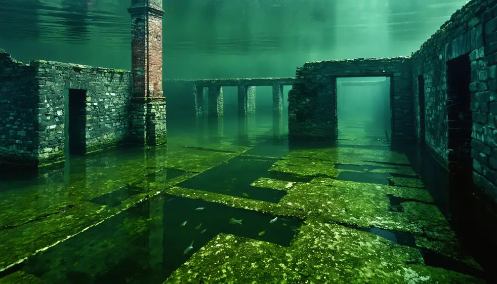
Beneath the tranquil waters of Raystown Lake lies the former village of Aitch, though not quite as local legends would have you believe. You won’t find intact buildings or preserved monuments waiting for underwater exploration – the U.S. Army Corps of Engineers meticulously cleared the area before flooding it in the 1970s.
What you’ll discover instead are scattered remnants of rural Pennsylvania life, with submerged artifacts hidden beneath decades of natural sediment. During rare low-water periods, you might glimpse fragments of foundations or old bridge ruins that hint at the village’s past.
While folklore speaks of complete structures beneath the surface, the reality is more subtle – archaeological deposits and geological layers tell the true story of thousands of years of local history, now preserved in the lake’s quiet depths.
Modern Legacy and Remembrance
Though Aitch’s physical structures now rest beneath Raystown Lake’s waters, its legacy endures through various modern touchpoints across Huntingdon County. Local memorial practices keep the town’s memory alive through the Aitch Boat Launch, historical exhibits, and official records maintained by the Huntingdon County Historical Society.
Beneath Raystown Lake’s waters lies Aitch, a town whose memory lives on through local landmarks and preserved historical records.
You’ll find Aitch’s cultural narratives woven into the fabric of local heritage in three distinct ways:
- Historical documentation through postal records, maps, and the preserved ZIP code 16610
- Oral histories from former residents and historians that capture pre-submersion life
- Educational programs and tourism materials that share authentic stories, separating fact from folklore
Today, Aitch’s story continues to intrigue visitors and inspire discussions about preserved heritage, even as Raystown Lake serves as a recreational destination.
Frequently Asked Questions
What Happened to the Original Residents When the Town Was Flooded?
You’ll find the residents were moved to higher ground near Marklesburg during evacuation efforts in the 1970s. The community impact scattered about 20 families who’d called Aitch home.
Are There Any Remaining Structures or Artifacts Visible During Low Water?
You’ll spot minimal remaining structures during low water periods at Raystown Lake – mainly subtle foundation outlines and old roadbeds. Visible artifacts are rare since the town lies deep underwater.
Was There Any Significant Opposition From Locals to the Lake Project?
Like ripples on still waters, you’ll find little evidence of organized local protests. While some residents voiced environmental and development concerns recently, there’s no record of significant opposition during the lake’s creation.
What Industries or Businesses Were Prominent in Aitch Before Its Submersion?
You’ll find that unlike nearby coal mining towns, Aitch mainly supported small-scale farming and local trade. While timber industry existed in the region, records don’t show major industrial operations within Aitch itself.
Did Any Original Aitch Families Relocate Together to Nearby Communities?
Like birds flocking together, you’ll find that many Aitch families kept their family connections intact by relocating near Marklesburg, maintaining community relocation patterns that preserved their tight-knit social bonds.
References
- https://en.wikipedia.org/wiki/Aitch
- https://jamesrada.com/pennsylvanias-ghost-towns/
- https://en.wikipedia.org/wiki/List_of_ghost_towns_in_Pennsylvania
- https://www.tiktok.com/@wandering.appalachian/video/7520647237211393311
- https://www.arcgis.com/home/item.html?id=f14a222edeee4439855d90fe703c058c
- https://wjactv.com/news/local/raystown-lake-legends-which-ones-are-true
- https://kids.kiddle.co/Aitch
- https://northeastcrackerbarrelnet.com/2020/06/15/a-town-underwater/
- https://pastlanetravels.com/history-of-raystown-lake/
- https://jamesrada.com/western-pennsylvania-ghost-towns/
