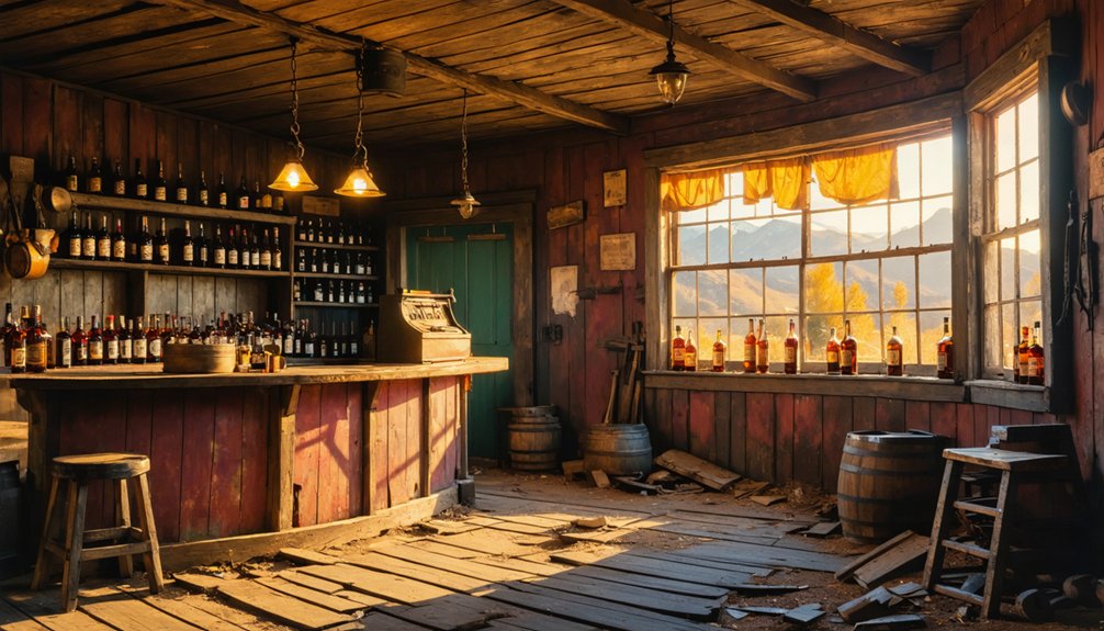
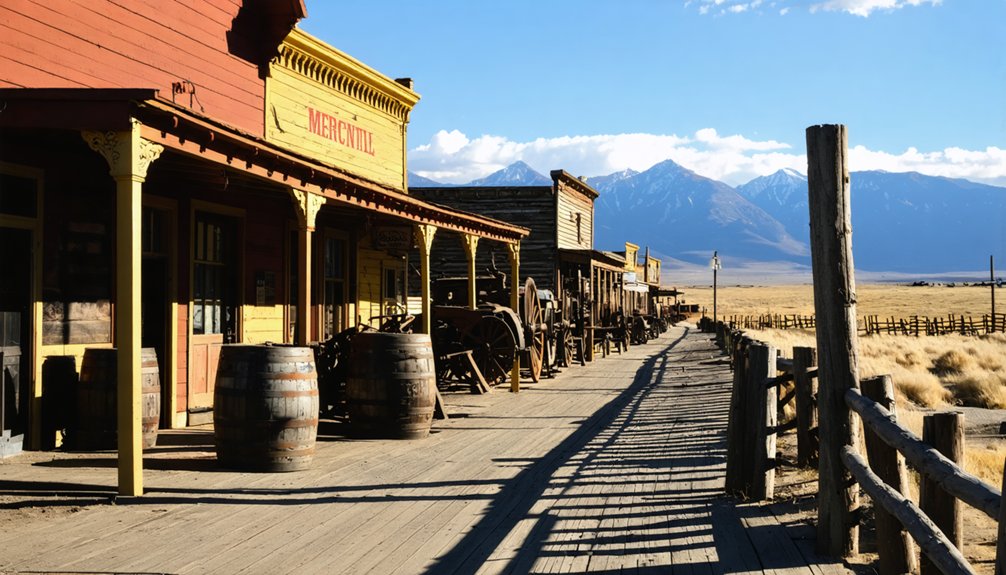
You’ll find the ghostly remains of Alma, California submerged beneath Lexington Reservoir near Los Gatos. This once-thriving mountain town emerged in 1878 as an essential railroad hub along the South Pacific Coast Railroad, serving lumber mills and fruit orchards. The community flourished with twelve saloons, a hotel, and even visits from Mark Twain until 1952, when dam construction forced residents to relocate. During rare reservoir drawdowns, Alma’s forgotten foundations still surface to tell their tale.
Key Takeaways
- Alma, California was a thriving railroad town in the Santa Cruz Mountains until its residents were displaced by Lexington Reservoir construction in 1952.
- The town’s remains now lie underwater beneath Lexington Reservoir, with foundations occasionally visible during drought conditions.
- Before submersion, Alma served as a vital transportation hub between Los Gatos and Santa Cruz through the South Pacific Coast Railroad.
- The community featured twelve saloons, a railroad depot, lumber mills, and orchards before being condemned for the reservoir project.
- Residents held a symbolic funeral for the town before its final flooding, marking the end of a once-prosperous mountain community.
The Rise of a Mountain Railroad Town
When the South Pacific Coast Railroad extended its tracks through the Santa Cruz Mountains in 1878, the town of Alma emerged as an important transportation hub.
You’d find this strategic location played a significant role in the railroad expansion that transformed the region’s economy. Initially known as the Santa Clara Valley Railroad before James Graham Fair’s acquisition in 1876, the line established Alma as a key stop between Los Gatos and Santa Cruz.
The railroad’s advanced engineering features included a 1.5% ruling grade, making it highly efficient for moving cargo through the challenging mountain terrain. The railroad depot’s placement maximized efficiency for transporting lumber from mountain sawmills and fruit from local orchards. You’ll appreciate how this new rail access revolutionized regional transport, replacing slow horse-and-buggy routes with rapid connections that drove economic impact throughout the area.
The railroad’s presence sparked Alma’s growth, making it a cornerstone of mountain commerce and transportation. The bustling community featured twelve lively saloons that catered to woodsmen and tourists seeking entertainment in the mountain town.
Life in Early Alma: Commerce and Culture
At the heart of Alma’s bustling community life, you’d find a diverse mix of commerce and culture centered around its strategic railroad depot. Local industries thrived around lumber processing and orchards, with sawmills powered by creek water serving as economic anchors. The area’s prosperity attracted notable literary figures like Mark Twain to visit the scenic mountain town.
You’d see workers and travelers gathering at the town’s saloons, which became essential hubs for social gatherings and entertainment. The general merchandise store supplied residents and visitors alike, while a hotel welcomed weary travelers journeying between the mountains and coast.
In the surrounding hills, weekend hunters and fishermen escaped city life, making Alma a recreational destination. The town even caught Hollywood’s eye, appearing in Western silent films by Broncho Billy Anderson, while nearby estates of wealthy families like the Floods added a touch of sophistication to this mountain community. The South Pacific Coast Railroad provided vital transportation between Los Gatos and Santa Cruz from 1880 to 1940.
Tales and Legends of the Santa Cruz Mountains
Beyond Alma’s vibrant commercial life, the Santa Cruz Mountains harbor darker tales that have shaped the region’s mystique. You’ll find stories of sudden violence, like the dynamite explosion that destroyed Alma’s general store.
While supernatural sightings aren’t directly tied to Alma itself, the town’s drowning beneath Lexington Reservoir adds to the area’s eerie atmosphere. Claims of an abusive cult and forced separations of couples created further intrigue, though these allegations were never proven. William E. Riker created the controversial Holy City settlement nearby in 1919. His community included roadside attractions that drew curious tourists to the area.
The surrounding mountains hold their share of ghostly encounters, fueled by abandoned mining sites and forgotten cemeteries.
Mercury’s toxic legacy from the New Almaden mines continues to haunt the region’s waterways, while blocked tunnels and rusting machinery stand as silent witnesses to this complex past.
The Final Days Before the Flood
In 1947, the Santa Clara Valley Water Conservation District delivered devastating news to Alma’s residents: their town would be sacrificed for a new dam and reservoir.
The Peninsula Times portrayed it as a necessary sacrifice, while the San Francisco Examiner called it a “man-made flood” that would erase the community’s existence.
As 1952 approached, you’d have witnessed the heartbreaking community displacement unfold. Fewer than 100 residents remained as homes were condemned and families accepted buyouts or relocated their houses to higher ground.
Like many California ghost towns of the era, Alma’s fate was sealed by infrastructure changes rather than economic decline. The town’s remaining inhabitants held a symbolic funeral, marking their emotional farewell to the place they’d called home. Even as infrastructure crumbled around them, Lexington School kept its doors open until the very end. The Lexington Reservoir filled in January 1953, permanently submerging the once-thriving town.
What Remains Beneath Lexington Reservoir
Today, Lexington Reservoir‘s waters conceal what remains of Alma, stretching 2.5 miles long and plunging to depths of 130 feet.
You’ll find this underwater ghost town near Bear Creek Road and Alma Bridge Road, just off Highway 17, where CAL FIRE’s Alma Helitack Base now stands.
During rare reservoir drawdowns, you can glimpse remnants of the town’s past life. When water levels drop for maintenance or drought conditions, you’ll discover old roads, building foundations, and bridge remnants emerging from their watery grave. The terrain reveals dried, cracked mud across the exposed lake bottom.
Like its namesake city in Kazakhstan, this location underwent a name change, as the area was once known as Lexington Station before becoming Alma.
The most recent significant reveal occurred in 2008 during dam repairs, exposing submerged structures that once formed this vibrant community.
These ruins include remains of the train station, stores, hotel, and the unique post office that was only accessible through a bar.
Frequently Asked Questions
Was the Alma College Campus Ever Used for Filming After Its Closure?
You’ll find the film locations of “Silent Hill” (2005) used Alma College’s deteriorating campus, with production history showing scenes shot in the main staircase, drawing room area, and “Ivory Tower” bedroom spaces.
What Happened to the Families Who Were Forced to Relocate?
You’ll find most families scattered throughout nearby towns like Los Gatos and Santa Cruz, with family memories fading as the relocation impact split their tight-knit community across the broader Bay Area.
Are There Any Surviving Artifacts From Alma Displayed in Local Museums?
Like scattered leaves in autumn wind, you won’t find displayed Alma artifacts in local museums today. Despite regional preservation efforts, no major museum collections house publicly viewable items from the submerged town.
Did Any Original Buildings From Alma Get Relocated Before the Flooding?
You won’t find any relocated original buildings from the flooding period, despite the historical significance of Alma. No building preservation efforts were made – structures were either demolished or left to be submerged.
What Native American Tribes Originally Inhabited the Alma Area?
While you’d expect many Native tribes in this rich land, the Ohlone people, specifically the Tamien band, were the primary inhabitants who maintained their cultural heritage here for thousands of years.
References
- https://localwiki.org/santacruz/Alma
- https://www.sfgate.com/obscuresf/article/brief-history-of-a-Bay-Area-ghost-town-17397657.php
- https://santacruzlife.com/santa-cruz-ghost-towns/
- https://www.openspace.org/sites/default/files/AlmaCollegeHistoricResourceStudy_0.pdf
- https://en.wikipedia.org/wiki/Alma
- https://www.youtube.com/watch?v=YrrzW-szYXk
- https://www.abandonedrails.com/south-pacific-coast-railroad
- https://www.youtube.com/watch?v=335x63V1Y6k
- https://www.kqed.org/news/11869346/the-story-behind-those-old-train-tunnels-in-the-santa-cruz-mountains
- https://calisphere.org/item/6ecbd3188c2838394a2f789096578620/


