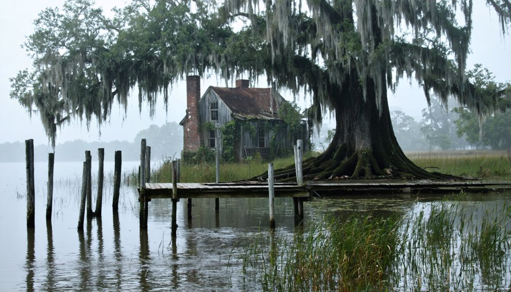
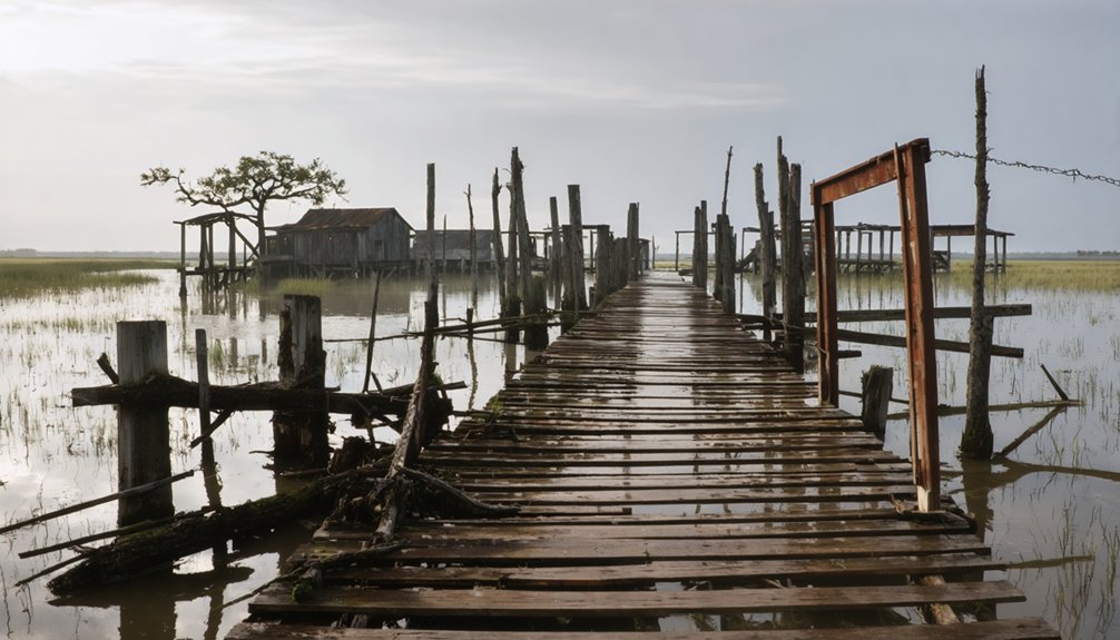
You’ll find Anchor’s ghost town remnants along the Mississippi River in Louisiana’s Pointe Coupee Parish. This former river port flourished as a strategic Civil War checkpoint and thrived through steamboat commerce, agriculture, and lumber operations after 1859. The community declined sharply during the 1930s Depression, with its post office closing in 1930. While few physical structures remain today, Anchor’s story weaves through the rich tapestry of Louisiana’s riverside settlements.
Key Takeaways
- Anchor was a Mississippi River settlement that thrived on steamboat commerce and lumber operations before becoming abandoned in the 1930s.
- The town served as an important strategic checkpoint during the Civil War, used by Union forces to control river traffic.
- Burton Lumber Company’s operations were central to the town’s economic prosperity before its eventual decline.
- Economic downturn, recurring Mississippi River floods, and limited industrial opportunities led to the community’s abandonment.
- The post office’s closure in 1930 marked a turning point, after which residents left seeking opportunities elsewhere.
Origins and Early Settlement Along the Mississippi
While French explorer La Salle‘s historic 1682 expedition marked France’s formal claim to the Mississippi River basin, indigenous peoples had already established thriving communities in the region for thousands of years.
You’ll find evidence of their sophisticated agricultural practices dating back to 4000 BC, with complex trade networks emerging by 200 AD through the Hopewell interaction sphere.
French exploration intensified in the late 1600s as Jolliet and Marquette confirmed the river’s path to the Gulf of Mexico.
The river proved vital for transportation and commerce, carrying steamboat traffic extensively throughout the 1800s.
By 1699, d’Iberville’s strategic selection of Fort Maurepas near Biloxi Bay established France’s first permanent foothold.
Under Pierre Le Moyne d’Iberville’s leadership, more colonists arrived in December 1699 to strengthen the settlement.
You can trace how this settlement pattern prioritized coastal defense and trade access, while the Spanish later gained control in 1763, fundamentally altering the region’s colonial dynamics.
Life During the Civil War Era
You’ll find Anchor’s position along the Mississippi River proved strategically significant during the Civil War, especially as Union forces sought to control essential waterways.
The intense bombardment of nearby Forts Jackson and St. Philip in April 1862 directly impacted Anchor’s river operations, as Confederate forces rushed to move military supplies and cotton northward to Vicksburg. Under the command of David Farragut, Union naval forces successfully broke through Confederate defenses to gain control of the lower Mississippi.
Union gunboats soon established a strong presence on this stretch of the Mississippi, effectively shutting down Anchor’s once-thriving river trade and transforming the settlement into a closely monitored military checkpoint. Like ancient mariners who used stone and wooden anchors to secure their vessels, Confederate ships had to carefully manage their movements to avoid detection.
Military Strategic Location
During the Civil War, Anchor’s location near New Orleans proved strategically essential for both Confederate and Union forces vying for control of the Mississippi River.
You’ll find that its military significance stemmed from its proximity to the major Confederate defenses at Forts Jackson and St. Philip, just 75 miles south of New Orleans. The city’s strategic advantage was enhanced by its access to four distinct channels leading into the Gulf of Mexico.
The strategic advantages of Anchor’s position became apparent during the Union’s offensive operations in April 1862. As Farragut’s fleet of 40 vessels advanced northward, they used locations like Anchor as staging points for their assault on New Orleans’ defenses.
When Confederate forces implemented their scorched earth retreat under Major General Mansfield Lovell, they recognized that losing control of these riverside positions would critically compromise their ability to defend the South’s largest port city. The Union’s successful capture of New Orleans on May 1, 1862 marked a devastating blow to Confederate naval strategy.
River Trade Operations
Before the Civil War disrupted Mississippi River commerce, Anchor’s bustling riverfront served as an essential stop for the newly established Anchor Line steamboats, which began operations in 1859.
You’d find their distinctive giant anchor logo prominently displayed on vessels carrying cotton bales, military supplies, and civilian goods to and from the town’s warehouses and docks. Howard Shipbuilding Company constructed many of the fleet’s grandest vessels in Jeffersonville, Indiana.
When the conflict intensified, trade disruptions became severe. Union blockades and Confederate defensive measures led to supplies being burned or dumped into the river. New England textile factories suffered greatly from the cotton shortage during this period.
While steamboat innovations had made Anchor a thriving commercial hub, the town’s river trade nearly ceased until Union forces secured the Mississippi in 1863.
After that, Federal authorities gradually allowed commercial traffic to resume, though wartime damage to infrastructure and ongoing military operations continued to challenge the town’s recovery.
Geographic Features and Natural Setting
The geographic setting of Anchor, Louisiana reflects its strategic position along the western bank of the Mississippi River in southeastern Pointe Coupee Parish.
Much like how permanent moorings use large rocks to secure vessels in waterways, the land here has remained anchored against the river’s force for centuries.
You’ll find the ghost town situated at approximately 30.68°N latitude and 91.35°W longitude, where geological formations consist primarily of alluvial plains shaped by centuries of river deposits.
The town’s historical roots trace back to when it was named during wartime as the Civil War raged across the region.
The area’s natural landscape showcases the dynamic relationship between land and water. Rich soil deposits from river sedimentation created fertile grounds, while the humid subtropical climate supports diverse floodplain ecosystems.
You’re looking at terrain that’s characteristic of the Lower Mississippi Valley, with natural levees and low-lying wetlands.
The site’s position within the Baton Rouge metropolitan region places it amid a shifting zone between agricultural lands and forested areas typical of southern Louisiana.
Rise of the Postal Service (1888)
You’ll find that 1888 marked a significant milestone for Anchor with the establishment of its post office, expanding the broader network of postal services across rural Louisiana.
The launch of mail service operations transformed Anchor into a crucial communication link, connecting the town to the nation’s growing postal infrastructure that included special delivery services and railroad mail transport.
As one of the era’s essential community hubs, Anchor’s post office fostered local commerce and social connections while providing residents access to newspapers and written materials from beyond their isolated location.
Post Office Network Expansion
During America’s westward expansion, postal service growth transformed isolated frontier settlements into connected communities through an unprecedented network of mail routes.
You’ll find that by 1889, the postal system had established nearly 59,000 post offices across the nation, with over 400,000 miles of routes connecting even the most remote destinations. The communication network integrated railroads, stagecoaches, and waterways to deliver mail with remarkable efficiency.
The system’s rapid growth was particularly evident in the West, where the Post Office Department contracted private stagecoach companies during the 1860s and 1870s.
These partnerships didn’t just deliver mail – they helped sustain western development by linking settlers to markets and news. While the postal route expansion faced challenges like contract mismanagement and corruption, it successfully bridged vast distances and difficult terrain to unite the growing nation.
Mail Service Launch Details
As America’s postal network expanded across rural communities, Anchor, Louisiana marked its place on the map with the establishment of its first post office in 1888. This milestone in local mail service history transformed how residents communicated, eliminating their reliance on informal carriers.
You’ll find the post office’s strategic location along the Mississippi River, north of the Pointe Coupee–West Baton Rouge Parish line, served as a crucial hub for the region.
The postal community significance extended beyond mere mail delivery – it symbolized Anchor’s recognition as an official settlement and connected locals to the nation’s standardized postal system.
With universal prepayment and nationally issued stamps becoming the norm, Anchor’s residents could now participate fully in America’s modernizing communication network during the late 19th century.
Community Communication Hub Growth
Once established in 1888, Anchor’s post office quickly evolved into more than a mail distribution point – it became the town’s central nervous system for information exchange and social connection.
You’d find residents gathering regularly to collect mail and share local news, turning postal visits into impromptu community gatherings.
The post office’s influence extended beyond basic mail service, boosting Anchor’s economic significance and legitimacy through postal innovations like money orders and special delivery options.
Despite common challenges of unreliable roads and weather delays, the facility served as a critical link to regional and national networks until 1930.
As part of Louisiana’s early adoption of rural free delivery in the 1890s, Anchor’s post office helped distribute newspapers and periodicals, connecting you to a broader world while strengthening local social bonds.
Economic Activities and River Commerce
When French colonists established their presence along the Mississippi River in 1699, they laid the foundation for Louisiana’s extensive river commerce network.
You’ll find the economic evolution of Anchor reflected the region’s broader transformation, from Native American trade networks to the bustling steamboat era of the Anchor Line company.
- The area’s commerce thrived through agricultural ventures and lumber operations, particularly benefiting from annual floods that made log transport easier.
- The Burton Lumber Company became a significant economic driver, supporting local development.
- Trade flourished between settlers and Native Americans, focusing on textiles and game.
This commerce hub’s strategic location along the Mississippi River made it essential to regional trade until railroad competition began shifting transportation patterns away from the waterways.
Local Culture and Community Life

Beyond the bustling commerce of Anchor’s waterfront, a rich tapestry of cultural life defined this former Mississippi River settlement. Local traditions reflected a blend of French and American influences, while the river facilitated cultural exchange with neighboring communities.
You’d find tight-knit neighborhoods where families relied on each other for support, especially during challenging times. Community interactions centered around family gatherings and social events, though specific details remain scarce.
The town likely celebrated traditional festivals, and local folklore included tales of river life. African American residents contributed to the community’s diversity, while shared customs and foodways reflected the region’s mixed heritage.
Like many Louisiana settlements, respect for elders, community service, and formal social etiquette shaped daily life along the Mississippi’s banks.
Decline and Abandonment (1930s)
During the harsh 1930s, Anchor’s descent into abandonment accelerated through a perfect storm of economic and environmental challenges. The town’s economic resilience crumbled as agricultural income plunged by two-thirds, forcing many farmers to lose their land through foreclosures and sheriff’s sales.
Crippled by economic turmoil and environmental hardship, Anchor’s community withered as farmers lost land and livelihoods during the devastating 1930s.
Key factors that sealed Anchor’s fate:
- The closure of the post office in 1930, marking the start of rapid community decline
- Recurring Mississippi River floods that discouraged reinvestment and weakened infrastructure
- Limited industrial opportunities compared to growing urban areas like Baton Rouge
While Louisiana’s oil industry provided some regional stability, Anchor’s heavy reliance on farming left it particularly vulnerable.
The combination of agricultural collapse and environmental pressures ultimately drove residents to seek opportunities elsewhere, leaving the once-vibrant community to fade into history.
Ghost Town Legacy in Pointe Coupee Parish
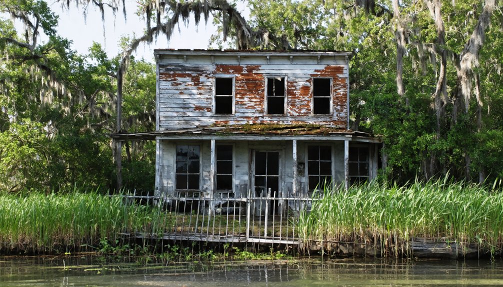
While many Louisiana ghost towns have faded into obscurity, Anchor’s legacy endures as a significant piece of Pointe Coupee Parish’s historical mosaic.
You’ll find its story intertwined with other abandoned communities like Waterloo, reflecting broader socio-economic shifts that shaped the region.
Today, ghost town tourism in Pointe Coupee Parish offers glimpses into the area’s past, though few physical structures remain at Anchor’s original site.
The historical significance of Anchor extends beyond its visible remains.
As one of several ghost towns in the parish, it provides valuable insights into 19th-century rural community life along the Mississippi River.
Through local historical records and ghost town registries, you can trace how agricultural cycles, river commerce, and natural disasters ultimately led to the community’s decline, contributing to our understanding of Louisiana’s dynamic past.
Neighboring Communities and Regional Impact
As part of southeastern Pointe Coupee Parish‘s network of river settlements, Anchor maintained close ties with neighboring communities like Alma and Waterloo along the Mississippi River corridor.
The region’s community dynamics were shaped by agricultural trade, with sugar cane and cotton driving the local economy. When floods and fires devastated these riverside towns, regional migration patterns emerged.
Key impacts on neighboring communities included:
- Population shifts to New Roads and West Baton Rouge Parish after Anchor’s post office closed in 1930
- Economic realignment as transportation shifted from river to rail and highway systems
- Consolidation of community services among surviving towns, particularly near Alma’s sugar mill
These changes transformed the region’s social fabric, as displaced residents adapted to life in more sustainable locations while maintaining their cultural connections.
Historical Preservation and Documentation
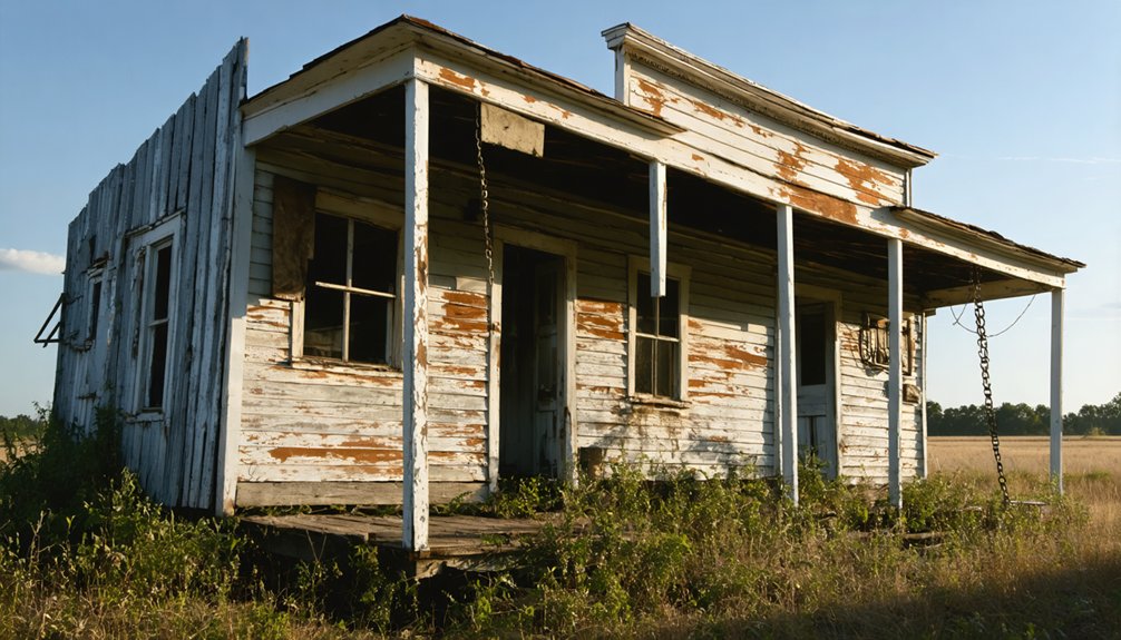
Despite efforts to document Louisiana’s ghost towns, historical records of Anchor remain sparse and fragmented.
You’ll find the earliest formal documentation stems from Civil War records and the establishment of a post office in 1888, which operated until 1930. The town’s preservation challenges are evident in its absence from the Louisiana Trust for Historic Preservation’s Most Endangered Places list and other state preservation initiatives.
The cultural significance of Anchor hasn’t been thoroughly assessed, as no archaeological surveys or field studies have been conducted at the site.
While the Mississippi River location suggests potential historical value, you won’t find any documented ruins or structures. The town’s memory lives on primarily through administrative records, leaving opportunities for future research and documentation largely unexplored.
Frequently Asked Questions
Are There Any Remaining Structures or Ruins Visible at Anchor Today?
You won’t find any confirmed remaining structures or visible ruins at this site today – historical records and modern surveys don’t document any surviving buildings in the heavily vegetated Louisiana landscape.
What Was the Peak Population of Anchor During Its Most Active Period?
You won’t find exact population records for this ghost town’s peak, but based on its post office operations and rural setting, estimates suggest between 50-300 residents before population decline began around 1930.
Did Any Notable Historical Figures or Events Originate From Anchor?
Like a whisper in the wind, you won’t find any notable figures or major events emerging from this Civil War-named settlement. Local legends are scarce, with no documented historical personalities making their mark here.
What Specific Natural Disasters or Floods Affected Anchor Before Its Abandonment?
You’ll find Anchor’s flood history was dominated by Mississippi River flooding and levee breaks, though exact dates aren’t documented. The hurricane impact likely matched surrounding communities’ experiences along the river.
Were There Any Schools, Churches, or Businesses Operating in Anchor?
Like a fading photograph, your glimpse into Anchor’s infrastructure reveals only one confirmed business: a post office operating from 1888-1930. No documented schools or churches existed in historical records.
References
- https://classicrock1051.com/16-ghost-towns-in-louisiana/
- https://en.wikipedia.org/wiki/Anchor
- https://kids.kiddle.co/Anchor
- https://en.wikipedia.org/wiki/List_of_ghost_towns_in_Louisiana
- https://www.youtube.com/watch?v=whT4jMLpc2A
- https://710keel.com/discover-70-ghost-towns-from-across-louisiana/
- https://www.ebsco.com/research-starters/history/louisiana-colony
- https://en.wikipedia.org/wiki/Mississippi_River
- https://en.wikipedia.org/wiki/Louisiana_(New_France)
- https://www.ncpedia.org/anchor/louisiana-purchase
