You’ll find Ashford’s ghost town remains near Pumpkin Creek in Nebraska’s Banner County, where William Ashford established a post office in October 1888. As the county’s first administrative hub, Ashford briefly served as temporary county seat until May 1889, when Harrisburg claimed that status. The settlement thrived along key transportation routes near Funnel Rock, but economic challenges and harsh farming conditions led to its decline. The site’s rich pioneer history holds countless untold stories.
Key Takeaways
- Ashford was established in the 1880s along Pumpkin Creek and briefly served as Banner County’s first administrative hub in 1888.
- The town functioned as a vital postal center under William Ashford’s leadership from 1888 to 1902 before declining.
- Economic challenges, including plummeting land values and agricultural hardships, contributed to Ashford’s eventual abandonment.
- The ghost town site is accessible near the intersection of Nebraska Highways 71 and 88, with Funnel Rock as a landmark.
- Population decline accelerated in the 1860s as younger residents left for urban areas, leading to closure of schools and businesses.
The Rise of a Prairie Settlement
As settlers pushed westward across Nebraska’s expansive prairies in the late 1880s, the community of Ashford emerged strategically along Pumpkin Creek in what would become Banner County.
You’ll find its historical significance tied to William Ashford, who established the post office in October 1888, marking the town’s official beginning.
The community’s dynamics thrived thanks to its prime location near Funnel Rock and the intersection of key transportation routes. By January 1889, Ashford’s growing importance earned it designation as the temporary county seat.
Ashford flourished near Funnel Rock, becoming a vital crossroads and temporary county seat in Nebraska’s expanding frontier landscape.
Like the coal shafts of Minersville, these early settlements relied heavily on natural resources to sustain their economy and growth.
You’d have witnessed a bustling prairie settlement where farmers and ranchers built their lives around the fertile land and reliable water source. The town’s position along Highway 71 and Highway 88 strengthened its role as a crucial hub for commerce and communication in Nebraska’s western frontier. Historical researchers can now trace the town’s evolution through archived page data available in digital records.
William Ashford’s Legacy and Early Leadership
Pioneer postmaster William Ashford left an indelible mark on Banner County’s development through his foundational leadership in 1888.
Through his postmaster duties from October 1888 to July 1902, he created essential communication networks that connected settlers to the outside world.
His role in local governance proved critical for the region’s early development, as he helped organize civic infrastructure and administrative functions.
While Ashford eventually became a ghost town, the legacy of its namesake’s leadership endures in Nebraska’s historical records, marking a time when one man’s pioneering spirit helped shape the destiny of a prairie settlement.
Just like the modern political figure Brad Ashford who worked to improve Nebraska through his service in the state legislature from 1987-1995, William Ashford’s commitment to public service exemplified dedication to the state’s progress.
Life Along Pumpkin Creek
While Pumpkin Creek once flowed abundantly from eastern Wyoming through Banner County, Nebraska, this essential waterway shaped early settlement patterns and ranching life in the region.
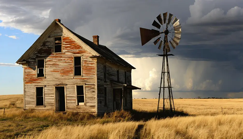
You’ll find evidence of cultural heritage in the valley’s historic ranches, where early settlers like William Ashford established homesteads in the late 1800s. The creek’s fertile pastures supported a thriving ranching economy, with ranchers adopting innovations like the Aeromotor windmill to secure water for their livestock. Before becoming Harrisburg, the area was known as Randall and Centropolis.
The community’s resilience showed through their adaptation to harsh conditions and limited infrastructure. Despite the challenges of low rainfall (around 14.3 inches annually), the area sustained cattle operations and small-scale farming until extensive groundwater pumping caused the creek to stop flowing above ground in 1993.
Banner County’s First Administrative Hub
Frontier democracy shaped Banner County’s first administrative hub in Ashford, where William Ashford’s homestead became the temporary county seat in 1888.
You’ll find that Ashford’s governance marked a critical turning point in the county’s early formation, though its administrative significance proved short-lived. The area grew as timber harvesting provided essential building materials and fuel for the region’s settlers. This location required careful place name disambiguation to distinguish it from other Ashfords in Nebraska.
The county officially organized in January 1889, establishing Ashford as its first governmental center.
Key administrative functions operated from Ashford until May 22, 1889, when competing interests shifted power to Harrisburg.
Without a permanent courthouse and facing political pressure, Ashford lost its position as county seat within months.
This brief chapter of frontier politics reflects the fierce competition among early settlements, where a town’s fortune could rise or fall based on its administrative standing.
Daily Life in 1890s Ashford
Despite its brief tenure as county seat, Ashford thrived as a bustling prairie community throughout the 1890s, anchored by its post office and network of essential services.
A vibrant frontier town, Ashford pulsed with life in the 1890s, its post office serving as the heart of prairie commerce.
You’d find the pioneering spirit alive in the mix of permanent homes and boarding houses, where residents relied on wood stoves and water from Pumpkin Creek for daily needs.
The town’s social fabric centered around community gatherings at the local general stores, church services, and informal school sessions.
Like Forest City’s contribution to local events, the town featured its own local brass band for entertainment and celebrations.
You could hear brass bands playing at county functions, while blacksmiths kept the farming operations running smoothly.
Essential trade flowed through the granaries and merchants, who stocked everything from household goods to farming supplies.
The post office, operating until 1902, served as both communication hub and community bulletin board.
The town’s development mirrored the era’s westward expansion, with an estimated 500,000 travelers passing through the region between 1841 and 1866.
Transportation Networks and Geographic Significance
The geographic placement of Ashford shaped its destiny as a prairie settlement, sitting one mile south of Funnel Rock at the convergence of what would become Nebraska Highways 71 and 88. The town’s transportation evolution reflected broader patterns of western expansion, from early trail networks to modern highways.
Key transportation features that impacted Ashford’s development:
- Proximity to Pumpkin Creek provided a natural waterway, though not major for transport
- Connection to the region’s stagecoach routes and postal networks by the late 1850s
- Access to expanding railroad infrastructure moving west from Omaha in the 1860s
The geographic impact of Ashford’s location proved both blessing and curse. While early trail networks supported its growth, the later shift to automobiles and highways ultimately contributed to its decline by making larger towns more accessible. Like many settlements impacted by the First transcontinental railroad, Ashford’s fate was influenced by the expanding transportation networks of the 1860s.
The Decline of a Frontier Community
You’ll find Ashford’s decline mirrored many Nebraska frontier settlements, as economic speculation bubbles burst and land values plunged from $60 to under $35 per lot by the late 1800s.
The town’s brief status as Banner County’s temporary seat in 1889 couldn’t stem the exodus of residents seeking better opportunities, while the closure of its post office in 1902 marked a critical turning point in the community’s fate.
The combination of agricultural hardships, including poor soil conditions and drought, alongside the loss of essential services, accelerated Ashford’s transformation into one of Nebraska’s ghost towns.
Economic Hardships Strike Hard
When economic turmoil struck in 1857, Ashford’s promising frontier dreams began to unravel rapidly. The town’s economic resilience was tested as railroad bankruptcies and bank failures paralyzed development across Nebraska.
You’d have witnessed Ashford’s community adaptation falter as property values plummeted and speculative investments crumbled.
The town’s struggles were amplified by:
- Limited transportation links near Pumpkin Creek, isolating businesses from essential trade routes
- A devastating real estate collapse that forced investors to sell at half their purchase prices
- Critical lack of economic diversity, with few industries to cushion against market shocks
Without railroad connections or stable financial backing, Ashford couldn’t compete with rising towns like Omaha. Young workers fled, businesses failed, and the once-hopeful settlement began its descent toward ghost town status.
Population Exodus Accelerates Growth
As residents increasingly abandoned their homesteads throughout the 1860s, Ashford’s population decline mirrored the fate of many frontier settlements across Nebraska Territory.
You’d have witnessed the demographic shifts that transformed vibrant communities into ghost towns, as families sought better opportunities in urban centers or more prosperous rural areas.
The pattern of decline wasn’t unique to Ashford – neighboring villages like Lamar saw their populations plummet from over 100 residents in the 1940s to fewer than 20 by 2000.
Despite early community resilience, the exodus accelerated as essential services disappeared. Schools closed, businesses shuttered, and local government functions ceased.
Young people left for education and jobs, leaving aging populations behind. The town’s location near major highways couldn’t stem the outflow once commerce patterns changed and traffic diminished.
Postal Service Winds Down
The Ashford post office‘s establishment in October 1888 marked a pivotal milestone for the frontier settlement, with William Ashford serving as its first postmaster and lending his name to the community.
The postal service impact was profound, as you’d find these crucial functions:
- Mail routes connecting your homestead to critical government and commercial centers
- A communication hub where you’d exchange news and maintain social bonds
- Access to goods and services through postal commerce
Natural Landmarks and Surrounding Landscape
You’ll find Ashford’s most recognizable natural landmark, Funnel Rock, rising prominently just a mile north of the former townsite.
The distinctive geological formation serves as a wayfinding point where Nebraska Highways 71 and 88 intersect near Pumpkin Creek Road.
The surrounding terrain features the meandering Pumpkin Creek Valley, which carved its path through the mixed-grass prairies and sedimentary formations characteristic of Banner County’s western Nebraska landscape.
Funnel Rock Landmark Features
Standing prominently in Banner County, Nebraska, Funnel Rock rises 4,462 feet above sea level with a modest prominence of 72 feet from its base. This geological significance stems from its sedimentary composition, featuring distinctive layers of sandstone and clay typical of the Scotts Bluff quadrangle region.
You’ll find Funnel Rock’s unique characteristics reflect the area’s rich natural heritage:
- Formed by ancient water deposits and shaped through centuries of wind and water erosion
- Served as an essential navigation point for 19th-century pioneers on the Oregon and Mormon Trails
- Ranks as the 11th highest elevation among Banner County’s 17 notable peaks
While less prominent than Chimney Rock, Funnel Rock stands as a symbol of the region’s dynamic geological processes and pioneering history.
Pumpkin Creek Valley Terrain
Located within southwest Banner County, Nebraska, Pumpkin Creek Valley stretches as a broad, deep corridor formed through extensive headward erosion over millennia.
You’ll find striking geological features including sandstone cliffs, rugged bluffs, and rock outcrops that frame the valley’s edges, with elevations reaching up to 5,350 feet in surrounding areas.
The valley’s ecosystems showcase diverse vegetation zones, from woodland patches on north-facing slopes to prairie communities in drier areas.
You’ll encounter distinctive soil patterns typical of floodplain environments, with sandy textures and stratified layers of pebble gravel.
The landscape’s west-to-east oriented through valleys connect various drainage basins, while Pumpkin Creek flows east-southeast before joining the North Platte River, creating a dynamic terrain that’s shaped both natural habitats and historical settlement patterns.
Preserving Ashford’s Historical Footprint
Despite the passage of time, Ashford’s historical footprint remains primarily preserved through administrative records and geographic markers dating back to its brief tenure as Banner County’s seat from 1889 to 1902.
While physical structures have vanished, you’ll find historical documentation efforts focused on preserving this Nebraska ghost town‘s legacy through:
- County records and state geographic registries that detail Ashford’s location near Pumpkin Creek and Funnel Rock
- The intersection of Nebraska Highways 71 and 88, which provides access to the historic site
- Natural landmarks that continue to serve as reference points for visitors exploring the area
Ghost town preservation efforts in the region now emphasize maintaining interpretive markers and protecting landscape features, though Ashford lacks formal facilities.
You’re free to visit the site, where the untamed prairie landscape offers a glimpse into Nebraska’s pioneer past.
Nebraska Panhandle Settlement Patterns
You’ll find that Nebraska’s Panhandle settlement patterns initially followed the major railroad developments of the 1880s, when the Burlington and Union Pacific lines established key transportation corridors through the region.
While early homesteaders in the 1890s faced brutal droughts and economic hardships, those who settled near railroad stops often succeeded in establishing sustainable farming communities that flourished into the early 1900s.
Early Railroad Network Development
As railroad companies raced to establish networks across Nebraska in the 1860s, the Panhandle region experienced rapid transformation through strategic rail development.
You’ll find that railroad expansion shaped settlement dynamics through vital early companies like the Sioux City & Pacific (1864) and the Fremont, Elkhorn & Missouri Valley Railway (1869).
The legislature’s 1869 land grant policy offering 2,000 acres per mile sparked rapid development:
- Union Pacific completed its east-west connection by July 1866
- Northern Nebraska Air Line formed in 1867 to expand northern connectivity
- Local branch lines emerged by the 1870s, connecting rural communities
You’ll discover how these rail networks determined town locations and economic viability, with depots becoming focal points for new settlements.
Water resources, particularly natural springs, played a vital role in determining where tracks could be laid.
Population Growth and Decline
When settlers first populated Nebraska’s Panhandle region in the 1860s, they concentrated near rivers and streams that provided essential water access for agriculture and daily life.
You’d find most early communities emerging around railroad terminals, creating crucial transportation hubs where rail lines intersected.
Agricultural Settlement Challenges
The harsh environmental realities of Nebraska’s Panhandle region challenged early settlers who attempted to establish sustainable farms between 1860 and 1900.
You’ll find that crop viability was severely threatened by three major environmental factors:
- Frequent droughts that devastated harvests and depleted soil moisture
- Devastating grasshopper infestations that could destroy entire fields
- Early frost events that cut growing seasons dangerously short
To build drought resilience, settlers had to adapt quickly.
You couldn’t rely solely on farming – successful homesteaders supplemented their income by hunting and gathering wild plants.
The situation improved dramatically after 1950 when center pivot irrigation transformed the landscape.
Before then, many settlers discovered too late that official reports had downplayed the critical need for irrigation infrastructure, leading to widespread crop failures and abandoned homesteads.
Frequently Asked Questions
What Structures or Buildings Still Remain at the Ashford Ghost Town Site?
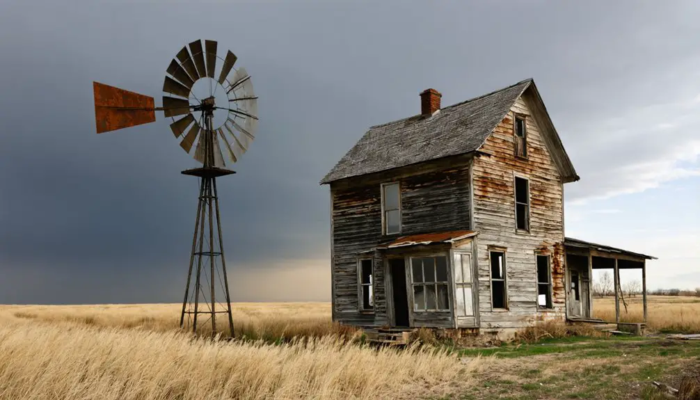
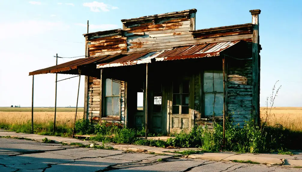
You’ll find about twenty deteriorating buildings of historical significance scattered across the site, mostly abandoned homes and small structures slowly being reclaimed by nature near Pumpkin Creek.
Were There Any Notable Crimes or Conflicts During Ashford’s Brief Existence?
You won’t find documented crime reports or conflict history during 1888-1902, as historical records show no notable incidents. The town’s brief existence and small population likely contributed to its peaceful nature.
What Was the Peak Population of Ashford During Its Inhabited Years?
You’ll find peak demographics reached about 100 residents during the town’s historical significance as a temporary county seat in 1889, though exact numbers aren’t documented in official census records.
Did Any Significant Native American Interactions Occur in Early Ashford?
Like scrolling through ancient TikTok, you’d find rich Native American history here, with Omaha and Pawnee tribes engaging in cultural exchange near Fort Charles before settlers pushed them out by 1825.
What Happened to William Ashford After the Post Office Closed?
You can’t definitively track William Ashford’s path after the post office closure in 1902. Historical records don’t reveal if he relocated, stayed locally, or pursued other opportunities during the area’s decline.
References
- https://en.wikipedia.org/wiki/Ashford
- https://citiestownsandotherplaces.com/tag/cora-ashford/
- https://www.wikiwand.com/en/articles/Ashford
- https://kids.kiddle.co/List_of_ghost_towns_in_Nebraska
- https://alchetron.com/Ashford
- https://history.nebraska.gov/wp-content/uploads/2017/12/doc_publications_NH1937GhostTowns.pdf
- https://visitnebraska.com/trip-idea/explore-7-authentic-ghost-towns-nebraska
- https://www.youtube.com/watch?v=redtU6GT-BY
- https://facebooknations.fandom.com/wiki/William_Ashford
- https://en.wikipedia.org/wiki/Brad_Ashford


