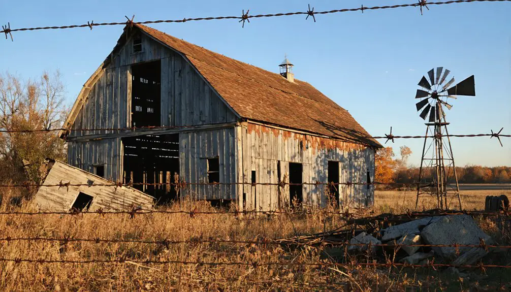
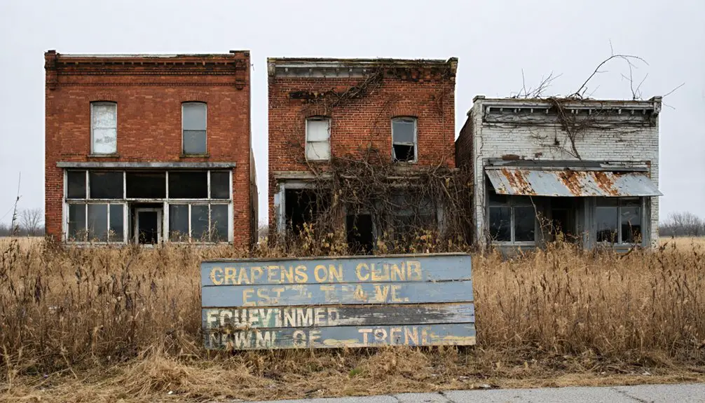
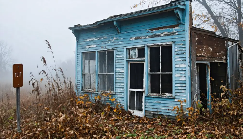
You’ll find Oak Dale Settlement hidden beneath Ohio’s Atwood Lake, submerged since 1936 when the Muskingum Watershed Conservancy District built a dam on Indian Fork. This former thriving farming community, established by Simon Osman in the early 1800s, included churches, a school, and the 400-acre Grimes family farm. While the town lies underwater, two historic cemeteries – Big Spring and Zion – still mark the landscape, offering glimpses into this community’s rich past.
Key Takeaways
- Atwood was a thriving farming community in Monroe Township, Ohio that was intentionally submerged in 1936 during the Atwood Lake project.
- The town’s original structures, including homes, businesses, and Big Spring Church, remain preserved beneath Atwood Lake’s waters.
- The settlement was sacrificed as part of a flood control initiative by the Muskingum Watershed Conservancy District to protect downstream communities.
- During low water levels, remnants of the town’s infrastructure, including an old railroad station, become visible along the lakebed.
- Two historic cemeteries, Big Spring and Zion, survived the flooding and remain as physical markers of the former settlement.
The Origins of Oak Dale Settlement
When Simon Osman established Oak Dale in the early 1800s, he laid the foundation for what would become a thriving rural settlement in Monroe Township, Carroll County, Ohio. The founder’s significance began shortly after his 1832 marriage to Mary Ann Parks, as they helped shape the community along SR 542 near Lodge Road.
Unlike many towns of that era, Oak Dale wasn’t formally platted or incorporated, allowing for a more natural, organic development that reflected the independent spirit of its settlers. The United Presbyterian Church records from 1834 demonstrate the community’s rapid growth and religious vitality during this period. Like the Old Graveyard relocations in other Ohio towns, many early Oak Dale residents were reinterred to preserve their final resting places.
You’ll find that early residents focused primarily on farming and local commerce, establishing a self-reliant community typical of 19th-century rural Ohio. This settlement pattern would later prove essential in shaping the town’s unique community dynamics, as families worked together to build a sustainable agricultural economy.
Life Before the Waters Rose
Though Atwood was never formally incorporated, the small farming community thrived through the late 1800s and early 1900s as a close-knit settlement centered around the 400-acre Grimes family farm.
You’d have found the community dynamics woven through two churches, a school, and a town hall where neighbors gathered regularly. Similar to the thorough work of local historian Kay Atwood documenting settlements in Oregon, the economic foundations rested on agriculture, supported by the town’s strategic position along the Wheeling & Lake Erie Railroad.
Your daily needs would’ve been met by the local store and blacksmith shop, while the post office, operating from 1888 to 1915, kept you connected to the wider world.
The Grimes family, particularly banker Greer B. Grimes, helped establish financial stability in this rural outpost that served as home until 1936.
The town was originally known as Oak Dale before taking on its final name.
The Birth of Atwood Lake
The devastating floods of 1913 sparked a massive initiative that would forever transform the peaceful farming community of Atwood. In 1933, the Muskingum Watershed Conservancy District formed to tackle flood management across eastern Ohio, receiving $22 million in federal funding to construct 14 dams and reservoirs.
Atwood Lake’s construction began with the damming of Indian Fork, a tributary to Conotton Creek. The $1.4 million project, completed in September 1936, created a 1,540-acre lake with 28 miles of shoreline. The dam itself was constructed using rolled earth with an impervious core.
You’d find the original townsite submerged beneath these waters, with only occasional glimpses of old rail stations and roadbeds visible during winter drawdowns. By 1938, the first waters were impounded, and the U.S. Army Corps of Engineers took control of flood operations in 1939. The area soon became a recreational destination when Frank F. Cope launched the first sailboat on the lake in 1939.
Sacred Ground: Surviving Cemeteries
Among Atwood’s few remaining physical links to the past, two historic burial grounds stand as silent witnesses to the community’s earlier life: Big Spring Cemetery (also known as Deep Springs) on State Route 542’s north side and Zion Cemetery along Falls Road.
You’ll find weathered gravestones of early settlers and veterans at both sites, though their associated churches haven’t survived. Big Spring Church now lies submerged beneath Atwood Lake’s waters, while Zion Church fell victim to a 1930 grass fire. Like many ghost town cemeteries throughout Ohio, these sites hold countless untold stories of the communities that once thrived here. Located in Carroll County, these burial grounds serve as important historical landmarks for the region.
Despite these losses, cemetery preservation efforts have maintained these sacred spaces as significant touchstones of local heritage. The sites’ historical significance extends beyond mere burial grounds; they’re repositories of genealogical information and demographic history, representing the final testament to a community that’s largely vanished beneath the lake’s surface.
Legacy Beneath the Waves
Deep beneath Atwood Lake‘s tranquil surface lies a preserved snapshot of rural American life, intentionally submerged during the 1936 construction of the Atwood Dam.
If you venture out onto the water today, you’re floating above an underwater archaeology site where a once-thriving farming and railroad community stood.
The submerged history includes the foundations of Big Spring Church, which rests silently at the lake’s edge near its namesake cemetery.
The town was evacuated and cleared as part of a flood control project to protect downstream communities.
Today, visitors can explore the 28 miles of shoreline while imagining the hidden community that once existed here.
You’ll find traces of the town’s infrastructure when water levels drop seasonally, revealing the old railroad station and roadbed near Dellroy.
While detailed archaeological surveys remain limited, the lake’s depths hold the physical remnants of homes, businesses, and community structures that defined this early 1800s settlement – now transformed into an accidental time capsule of rural Ohio life.
Frequently Asked Questions
Can Visitors Scuba Dive to See Underwater Remnants of Old Atwood?
You can’t scuba dive to explore underwater remnants, as there’s no official diving program or confirmed intact structures. The lake focuses on surface activities like boating, fishing, and swimming instead.
Were Any Artifacts Recovered From Buildings Before the Flooding Began?
You’ll find that artifact discovery did occur before flooding, with some structural elements and building items preserved. Historical preservation efforts mainly focused on collecting accessible materials, though no detailed catalog exists.
Did Any Original Atwood Families Continue Living Near the Lake?
You’ll find that several Atwood descendants continued living near the lake, as evidenced by ongoing cemetery use at Big Spring and Zion sites, and family properties documented in local Lake history records.
What Was the Total Compensation Offered to Residents for Relocation?
Even with mountains of historical records searched, you won’t find exact relocation package amounts – there aren’t any documented resident testimonials or compensation records preserved from that time period.
Are There Any Annual Commemorative Events Celebrating Atwood’s History?
You’ll find Atwood’s history celebrated at the annual Atwood Area Fall Festival each October, featuring pioneer reenactments, Native American pow-wows, and historical demonstrations, though it focuses on broader regional heritage rather than specific ghost town history.
References
- https://ohioghosttowns.org/carroll-county/
- https://kids.kiddle.co/List_of_ghost_towns_in_Ohio
- https://ohioghosttowns.org/summit-county/
- https://www.pinterest.com/pin/atwood-oh-carroll-county-a-marker-for-the-ghost-town-on-rt-542-lodge-rd-across-from-the-intersection-with-lake–349803096030463765/
- https://en.wikipedia.org/wiki/Atwood_Lake
- https://ohioghosttowns.org/county-data-charts/
- https://www.hmdb.org/m.asp?m=159766
- https://www.champaigncountyhistoricalmuseum.org/looking-back/then-now-oak-dale-cemetery-gateway
- https://www.ohiohistory.org/wp-content/uploads/2022/01/Everts-_Combination_Atlas_Map_of_Licking_County_1875.pdf
- https://archiveswest.orbiscascade.org/ark:80444/xv998106


