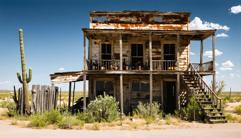
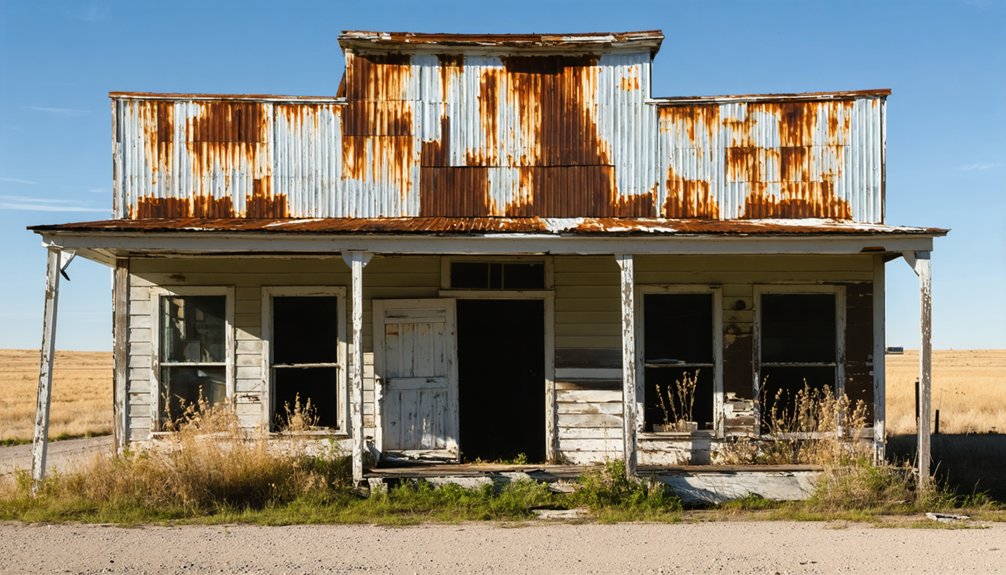
Izoro, Texas Ghost Town
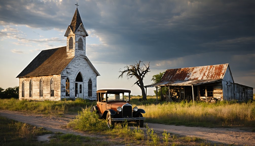
Tucked away in Lampasas County, Izoro’s abandoned buildings whisper tales of frontier battles, settler feuds, and vanished dreams.
Izoro, Texas Ghost Town Read More »
Tucked away in Lampasas County, Izoro’s abandoned buildings whisper tales of frontier battles, settler feuds, and vanished dreams.
Izoro, Texas Ghost Town Read More »
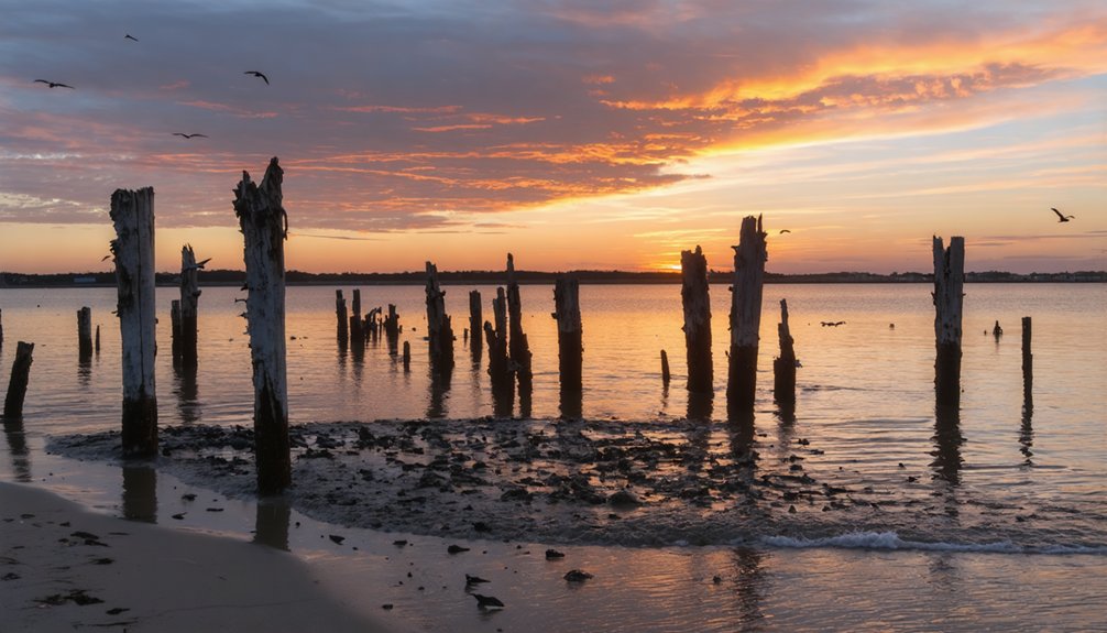
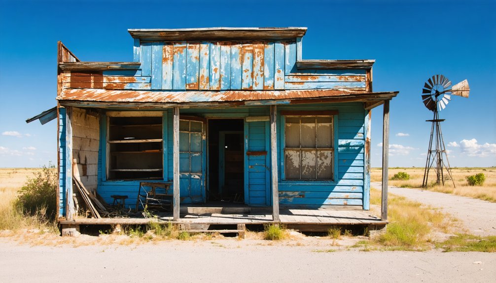
Journey back to Islitas, where crumbling stone chimneys and haunting coal mine ruins tell tales of Texas’ forgotten boomtown.
Islitas, Texas Ghost Town Read More »
Once a thriving Sabine River settlement, Iron Bridge’s abandoned steel bridge still whispers tales of Texas pioneers and forgotten dreams.
Iron Bridge, Texas Ghost Town Read More »
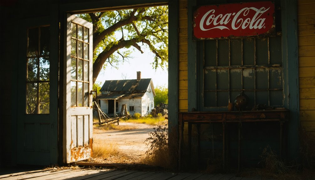
Once a bustling cotton town of 400 residents, Ireland, Texas now stands frozen in time with only ruins and whispers.
Ireland, Texas Ghost Town Read More »
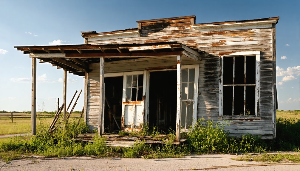
From trading post to thriving ranch town, Indio’s abandoned ruins tell a story of frontier dreams lost to time.
Indio, Texas Ghost Town Read More »
Known as Texas’s second-largest port city, Indianola vanished after two monstrous hurricanes turned this thriving metropolis into abandoned ruins.
Indianola, Texas Ghost Town Read More »
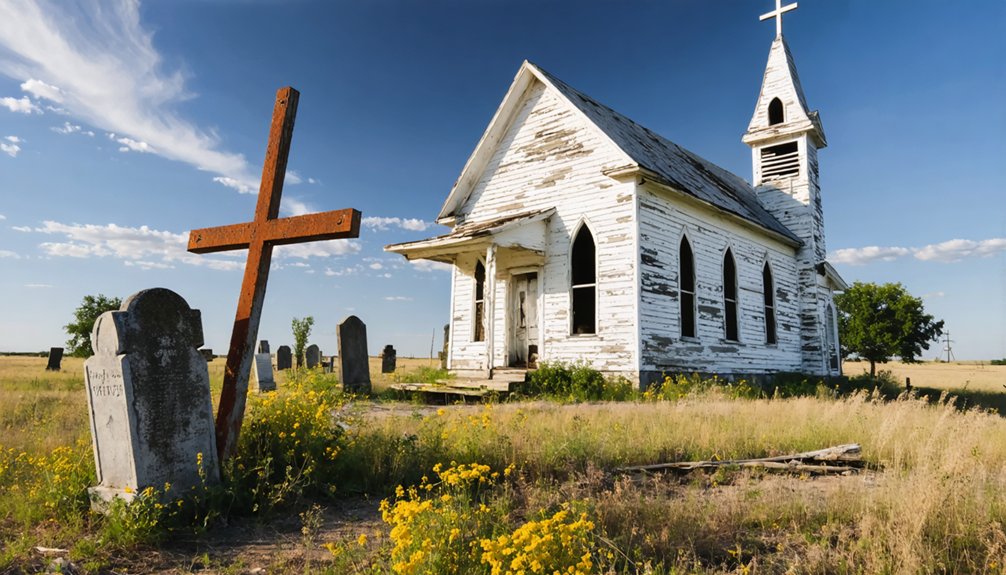
Unfolding amid crumbling college ruins and pioneer graves, Independence’s fall from Texas glory reveals a cautionary tale of progress denied.
Independence, Texas Ghost Town Read More »
This forgotten Texas ghost town tells a haunting tale of settlers who braved Comanche raids before mysteriously vanishing into history.
Illinois Bend, Texas Ghost Town Read More »
Centered around silver mines and railroad dreams, this Texas ghost town’s ruins whisper tales of fortune and forgotten prosperity.
Ilka, Texas Ghost Town Read More »
Unfolding amid Texas’s northern plains, Huron’s abandoned railway depot hints at a once-thriving farming community’s mysterious decline.
Huron, Texas Ghost Town Read More »