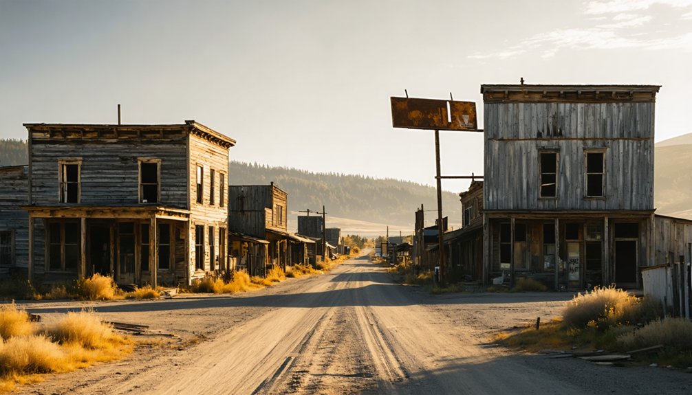
Plan Your Ghost Town Road Trip To Dell Prairie, Wisconsin
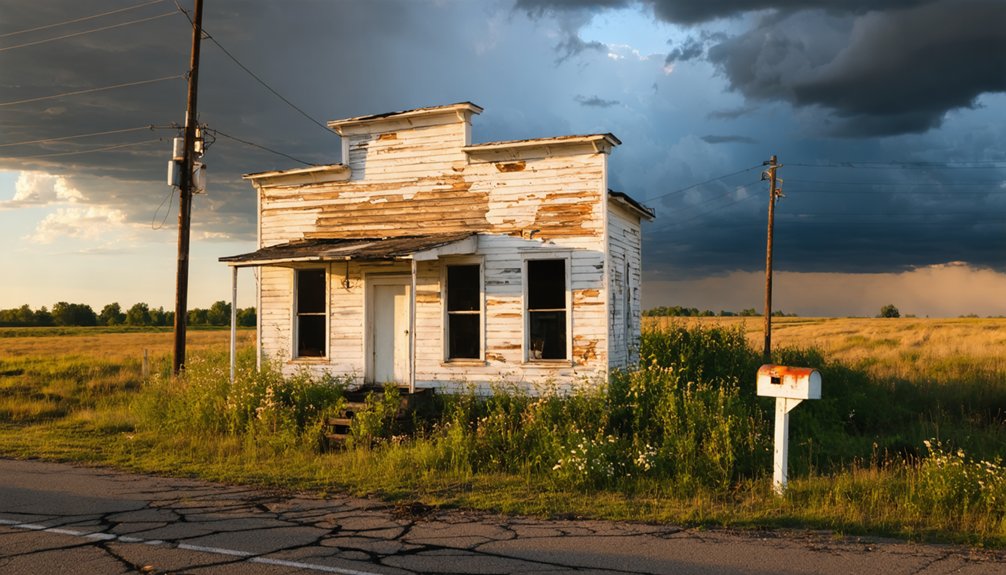
Adventure awaits in Dell Prairie, Wisconsin—a forgotten ghost town hiding world-class fishing, kayaking, and wildlife along the scenic Wisconsin River.
Plan Your Ghost Town Road Trip To Dell Prairie, Wisconsin Read More »