Plan Your Ghost Town Road Trip To New Almaden, California
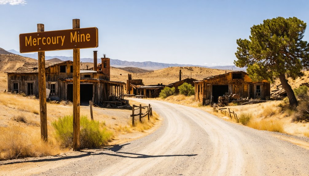
New Almaden’s preserved ghost town hides mercury-stained secrets and Gold Rush history just 12 miles from San Jose, and there’s much more to discover.
Plan Your Ghost Town Road Trip To New Almaden, California Read More »