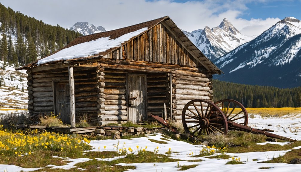
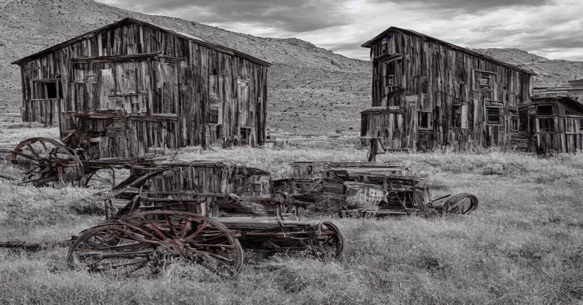
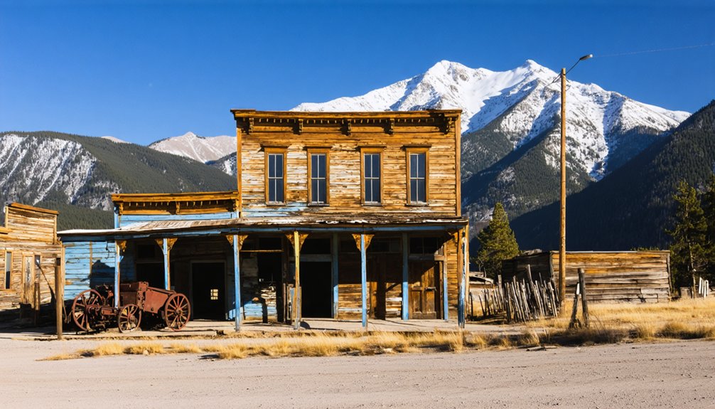
You’ll find Bakerville nestled along Clear Creek County’s mining corridor, where it emerged during Colorado’s 1859 gold rush. The settlement quickly transformed into a silver mining powerhouse, with yields exceeding 400 ounces per ton at its peak. Miners and their families occupied rough cabins while working the Richmond Tunnel, 500 feet above timberline. After the 1893 silver crash and subsequent natural disasters, Bakerville’s remnants now tell tales of Colorado’s precious metal frontier.
Key Takeaways
- Bakerville emerged as a thriving gold mining hub during the Colorado mining boom of the late 1800s near the base of Kelso Mountain.
- The town’s economy peaked between 1880-1899, featuring saloons, dance halls, and theaters that served the diverse mining community.
- Multiple natural disasters, harsh weather conditions, and the 1893 silver market crash led to Bakerville’s eventual decline and abandonment.
- Mining families endured challenging living conditions in cramped quarters while working hazardous twelve-hour shifts in the nearby mines.
- Today, Bakerville exists as a ghost town with scattered structural remnants, accessible via a paved trail system near the Continental Divide Trail.
The Birth of a Mining Frontier
The Rocky Mountain gold fever of 1859 sparked a transformative period in Colorado’s mining frontier, with prospectors like Conner, Spaulding, and Poznansky staking their claims along the Blue River.
Gold fever gripped the Rockies in 1859 as daring prospectors ventured to stake their claims along Colorado’s Blue River.
Clear Creek County’s early mining generated silver yields exceeding $15.7 million before 1880.
As you explore this untamed territory, you’ll find that the gold discovery ignited the formation of bustling mining districts like Pollard, Independent, and Spaulding in Summit County.
You’re walking in the footsteps of pioneers who braved the wilderness two years before Colorado even became a territory. They diverted rivers to expose gold deposits and built Fort Mary B to protect themselves from feared Ute attacks.
These early prospectors established the California Mining District, creating rules for claim sizes and types as waves of fortune-seekers poured into the region. It’s here where the Pikes Peak Gold Rush launched Colorado’s mining legacy. Over 100,000 prospectors flooded into the region during the Pikes Peak gold rush, forever changing the landscape of Colorado’s frontier.
Life During the Silver Boom
You’d find Bakerville’s mining families packed into cramped tents and rough-hewn cabins, where they survived on simple meals of beans, bacon, and coffee while battling the harsh mountain elements.
The town’s social scene centered on bustling saloons and gambling halls, where miners spent their $2-3 daily wages after grueling 12-hour shifts underground. When the Sherman Act repeal hit in 1893, many miners lost their livelihoods as silver prices plummeted. Miners faced severe health risks from working in the dark tunnels, with many developing deadly silicosis disease from inhaling rock dust.
Women were scarce in the early days, leaving most men to find entertainment in makeshift dance halls, storytelling circles, and occasional religious services held in private homes.
Mining Families Daily Life
During Bakerville’s silver boom era, mining families carved out a demanding existence where every member played a vital role in survival. You’d find multiple generations sharing modest wooden cabins, with daily routines centered around the mine’s schedule. Silver and gold deposits were often found together in the Rocky Mountain veins, giving miners additional opportunities for income.
While men worked dangerous underground shifts, women maintained households, often supplementing income by running boarding houses or doing seamstress work. Children split their time between the one-room schoolhouse and helping with family duties. The area remained prosperous until Leadville’s rise in 1877 shifted the region’s mining focus.
Your family’s daily traditions would’ve included gathering around wood stoves for warmth, using oil lamps for light, and fetching water from communal wells.
You’d cope with cramped living spaces where rooms served multiple purposes. Despite the hardships, you’d find comfort in community events, church services, and the mutual support of fellow mining families who understood the precarious nature of silver boom life.
Silver Rush Social Scene
As silver fortunes transformed Bakerville from a primitive outpost into a bustling boomtown, its social scene exploded with saloons, dance halls, and theaters catering to thousands of newly-arrived residents.
You’d find miners, merchants, and immigrants from Ireland, Italy, and China mixing in the town’s entertainment venues, though clear social divisions existed between mine owners and laborers. A stark contrast emerged between the churches and schools on one side of town and the entertainment district on the other. The town reached its peak social vibrancy during the 1880s population boom, when nearly 5,000 residents called the area home.
- Pack your evening with boxing matches at Murphy’s Hall or catch traveling performers at the town theater
- Join the crowd at O’Malley’s Saloon for cards, whiskey, and live music from local musicians
- Experience weekend social gatherings at the Miners’ Lodge, where fraternal organizations hosted community events
- Take part in holiday festivals and parades celebrating the latest silver strikes, complete with brass bands and fireworks
Mining Operations and Economic Growth
During Bakerville’s peak in the late 1860s, you’d find miners extracting silver ore yielding up to 400 ounces per ton from the Baker Mine, which ran almost perpendicular to the nearby Stevens Mine.
Similar to how diamond buyers flocked to the region, with 250 establishing businesses during the peak mining period, the mining operation relied heavily on manual labor and basic tools, with timber from Kelso Mountain providing essential materials for log cabins and mine supports.
You’ll notice the mine’s infrastructure expanded to include the Richmond Tunnel, built 500 feet above timberline, as the workforce grew to meet the demands of Clear Creek County‘s booming silver industry. The development mirrored the pattern seen across Colorado, where silver discoveries in 1877 transformed small camps into bustling towns of thousands.
Peak Mining Production Era
The late 1800s transformed Bakerville into a bustling gold mining hub, with production reaching its zenith between 1880 and 1899. Following the initial gold discovery in the 1870s, you’d have witnessed hundreds of miners flocking to this promising camp, where underground mining techniques evolved to extract precious metal from rich quartz veins.
The Bakerville Mine dominated the landscape, yielding hundreds of ounces of gold annually during its peak operations.
- You could find European immigrants and Americans alike working the deep shafts and tunnels.
- The town’s population swelled as mining profits attracted more fortune-seekers.
- Local businesses thrived, from supply stores to saloons, supporting the growing workforce.
- Underground mining operations expanded through the hillsides, following valuable gold veins.
Equipment and Technical Methods
Mining operations in Bakerville showcased a remarkable array of equipment and methods that shaped the town’s development. You’d find miners wielding hand tools like picks and shovels in the early days, while black powder blasts echoed through the hills before dynamite’s arrival.
As mining technology advanced, water wheels and steam engines powered the essential ore-crushing mills. The town’s ore extraction methods evolved from simple placer mining to more complex operations. You could spot hydraulic jets blasting gold-bearing gravels, while deep underground, miners employed stoping and drift mining techniques.
Processing facilities included stamp mills where mercury amalgamation captured fine gold particles. Supporting infrastructure, from water flumes to rail spurs, kept operations running smoothly. These technological advances transformed Bakerville from a prospector’s camp into a bustling mining center.
Workforce and Labor Demands
As waves of immigrants poured into Bakerville throughout its mining heyday, you’d find a rich tapestry of European and Hispanic laborers shaping the town’s workforce. The demanding nature of mining operations required both skilled craftsmen and general laborers, with immigrant labor filling essential roles throughout the mines.
You’d see workers taking on grueling twelve-hour shifts in hazardous conditions, often living in company-controlled housing while supporting their families.
- Italian, Slavic, and Irish miners brought specialized mining skills from their homeland traditions
- Companies actively recruited through immigrant networks to maintain necessary workforce levels
- Young boys, some as young as 10, worked alongside adults in various mining tasks
- Labor unions fought to improve conditions, though companies often resisted organizing efforts
Natural Disasters and Market Crashes
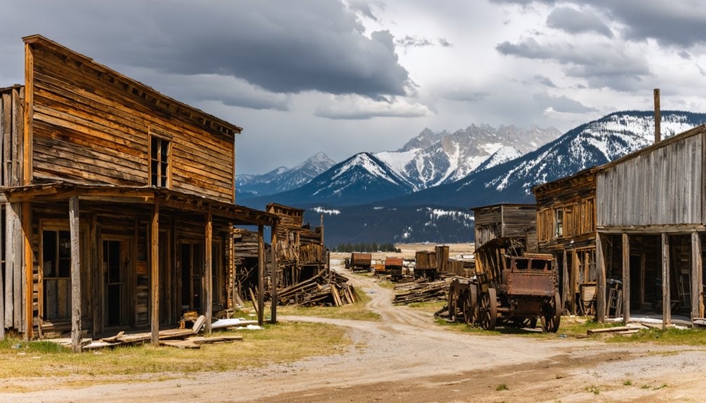
While prosperous mining settlements dotted Colorado’s mountainous terrain in the late 1800s, Bakerville and neighboring towns faced a devastating combination of natural disasters and economic crashes that hastened their decline.
Mining settlements across Colorado’s mountains flourished until natural disasters and economic turmoil triggered their swift downfall.
You’ll find that harsh mountain weather, including sudden snowstorms and flooding, regularly disrupted mining operations, weakening the towns’ economic resilience.
When the silver market crashed in 1893, disaster recovery became nearly impossible for these struggling communities.
Fire devastated a nearby Colorado mining town in 1917, while others suffered from severe structural decay due to freeze-thaw cycles.
The double blow of market volatility and nature’s fury proved too much – mining operations shut down, workers left, and once-bustling settlements like Bakerville gradually transformed into the ghost towns you’ll discover today.
The Path to Abandonment
Economic forces dealt the fatal blow to Bakerville’s existence, beginning with the catastrophic devaluation of silver in 1893. As mining operations became unprofitable, you’d have witnessed the town’s slow descent into abandonment.
The harsh mountain environment and remote location only accelerated Bakerville’s decline, making it increasingly difficult for residents to sustain their livelihoods.
- Mine closures forced workers to seek employment in more prosperous regions
- Railroad companies rerouted their lines, severing crucial transportation links
- Extreme winter conditions and high altitude maintenance costs strained resources
- The exodus of residents led to shuttered businesses and collapsed infrastructure
The town’s economic decline mirrored the pattern of many Colorado mining communities, where the combination of depleted resources and transportation shifts ultimately sealed their fate in town abandonment.
Remnants and Artifacts Today
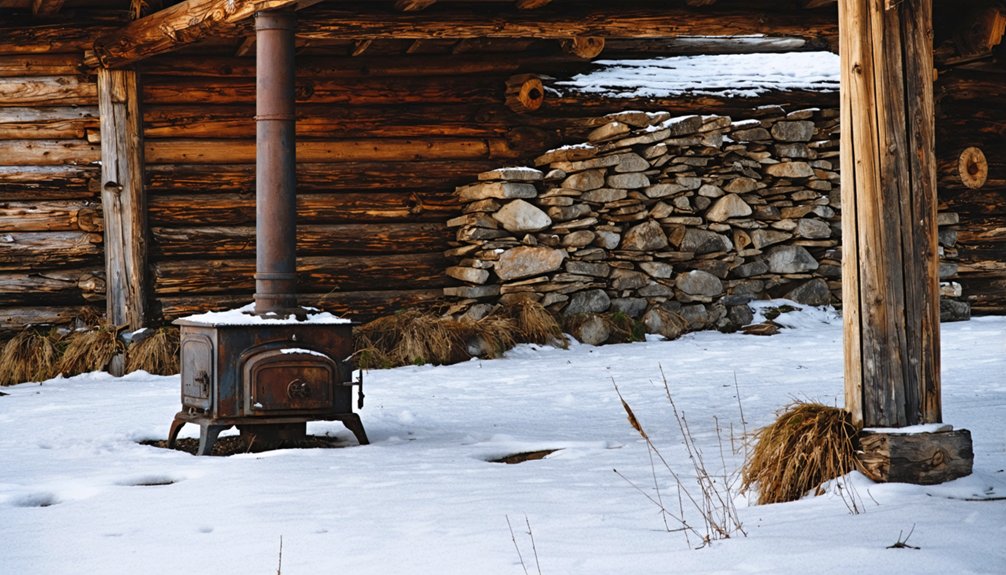
Today’s visitors to Bakerville encounter a stark contrast to its mining-era bustle, with only scattered remnants marking the ghost town‘s footprint.
You’ll find a parking lot and several small structures at the site, while some timber remnants from original log cabins built with Kelso Mountain wood might still peek through the landscape.
Unlike heavily contaminated ghost towns, you can freely explore Bakerville’s grounds, where Stevens Gulch and Clear Creek meet.
While mining artifacts have largely vanished due to time and collecting, the site’s structural remains are accessible via a paved trail system connecting to the Continental Divide Trail.
Natural decay and weather continue to reshape what’s left, but the ghost town’s location remains remarkably intact, offering you glimpses into its mining heritage.
Historical Legacy in Colorado’s Mining Belt
As part of Colorado’s famed Mineral Belt, Bakerville emerged during the late 19th century’s mining boom that transformed the state’s mountainous terrain into a web of prosperous settlements.
You’ll find Bakerville’s story woven into the larger tapestry of Colorado’s mineral wealth, which yielded over 25 million troy ounces of gold and sparked rapid development across the region. The town’s mining techniques evolved alongside other settlements within the belt, contributing to the state’s remarkable economic growth leading up to statehood in 1876.
- The ghost town stands as a reflection of the northeast-trending geological formation that made the region’s wealth possible.
- You can trace Bakerville’s connections to major supply hubs like Golden City and Central City.
- The town reflects the broader pattern of immigrant labor and technological advancement in mining.
- Bakerville’s legacy lives on through its role in Colorado’s shift from territory to statehood.
Frequently Asked Questions
Are There Any Dangerous Abandoned Mine Shafts Visitors Should Watch Out For?
You’ll find numerous dangerous shafts throughout the area. For mine safety, don’t explore unmarked openings. Old vertical drops, unstable ground, and toxic gases make visitor precautions essential around these hazardous sites.
Can You Legally Collect Artifacts or Minerals From the Bakerville Site?
Ever wondered about those tempting treasures? You can’t legally collect artifacts or minerals from this site – legal restrictions and artifact preservation laws protect the area’s historical resources. Get proper permits first.
What Is the Best Season and Time to Photograph Bakerville’s Remains?
You’ll get your best lighting during fall (September-October) at golden hour (3PM-sunset), when seasonal colors peak with golden aspens and the sun casts long shadows across the historic remains.
Are There Any Documented Paranormal Activities or Ghost Stories About Bakerville?
Despite millions of ghost hunters searching every corner, you won’t find documented ghost sightings or haunted locations in Bakerville. Historical records and paranormal investigations show no supernatural activity in this mining town.
How Close Is the Nearest Modern Town With Amenities to Bakerville?
You’ll find modern amenities just minutes away in Silver Plume, the closest nearby town to Bakerville. It’s directly east and offers you basic services like lodging, food, and gas stations.
References
- https://kimsloans.wordpress.com/2024/06/13/cruisin-colorados-ghost-towns/
- https://stgrundyblog.wordpress.com/2016/06/07/colorado-ghost-town-silver-plume/
- https://tremortravel.com/2024/05/09/silver-creek-colorado-sept-2011-and-july-2012/
- https://en.wikipedia.org/wiki/List_of_ghost_towns_in_Colorado
- https://thedyrt.com/magazine/local/colorado-ghost-towns/
- https://www.summitdaily.com/news/summit-county-mining-history-runs-deep-after-prospectors-first-struck-gold-near-breckenridge-in-1859/
- http://genealogytrails.com/colo/clearcreek/history18802.html
- https://www.nps.gov/parkhistory/online_books/blm/cultresser/co/12/chap4.htm
- https://leadville.com/a-time-line-of-leadvilles-history/
- https://archives.colorado.gov/collections/historic-mine-reports
