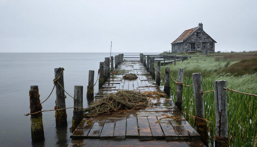
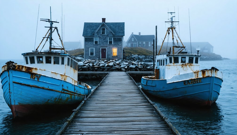
You’ll discover America’s most evocative abandoned coastal fishing villages scattered along the Eastern Seaboard and Alaskan shores. From Maine’s remote Monhegan Island to the earthquake-ravaged settlements of Prince William Sound, these maritime ghost towns feature weathered wharves, crumbling lighthouses, and forgotten foundations. Notable sites include Massachusetts’ mysterious Dogtown Common, Georgia’s culturally rich Hog Hammock, and the historic whaling outpost of Tarpaulin Cove, each preserving distinct architectural remnants and compelling narratives of America’s seafaring past.
Key Takeaways
- Dogtown Common in Massachusetts exemplifies a perfectly preserved 17th-century coastal settlement with visible foundations and remnants of colonial industry.
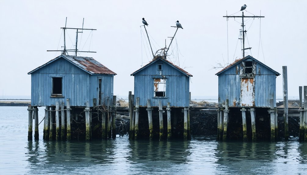
- Alaska’s maritime ghost settlements feature atmospheric ruins accessible only by boat, showcasing abandoned fishing infrastructure and cultural heritage.
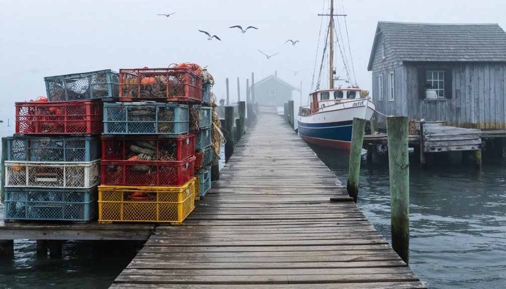
- Monhegan Island in Maine demonstrates the decline of traditional fishing communities, with historical structures still standing amid dwindling year-round population.
- Tarpaulin Cove’s abandoned whaling port contains ruins from its 18th-century heyday, including an automated lighthouse and maritime infrastructure.
- Hog Hammock on Sapelo Island represents a vanishing Gullah fishing community with historic structures and traditional architecture facing preservation challenges.
Monhegan Island: Maine’s Lost Maritime Heritage
Perched off Maine’s rugged coast, Monhegan Island stands as a tribute to America’s early maritime heritage. Since Captain John Smith’s 1614 arrival, this remote outpost has witnessed centuries of maritime culture evolve, from prolific cod fishing to today’s carefully regulated lobster industry. Native fishermen once harvested abundant fish from these waters long before European settlement.
Rugged and remote, Monhegan Island endures as a living testament to New England’s rich seafaring past.
You’ll find echoes of Monhegan history in the 1824 lighthouse, where sperm whale oil once illuminated treacherous waters, and the 1908 public wharf that still serves local fishermen.
The island’s transformation reflects broader changes in coastal life. What began as a bustling fishing settlement of 75-100 residents in 1832 now preserves its heritage through art and conservation. In 1777, the island was purchased by Henry Trefethren, whose family helped establish the first permanent year-round settlement.
While the winter-only lobster season has shortened, typically ending by Christmas, Monhegan’s spirit of self-reliance endures, carried forward by its year-round inhabitants and seasonal artists who call this maritime sanctuary home.
Dogtown Common: A Massachusetts Mystery
Nestled inland from Cape Ann’s rocky shores, Dogtown Common emerged as a strategic colonial settlement in 1641, deliberately positioned to shield its inhabitants from coastal pirates and harsh weather.
You’ll find evidence of colonial industry in the remnants of early mill dams and settlers’ foundations, proof of the ingenuity of its founders. The area was once home to prominent figures like Captain Samuel Riggs, whose property contained the oldest house on Cape Ann. At its peak in the 1750s, this bustling community housed 80 prosperous families and commanded 20% of Gloucester’s population.
The early settlers primarily sustained themselves through livestock farming, as the rocky soil made traditional agriculture difficult.
Yet by 1828, you’d have found just one remaining resident. The settlement’s decline began after the Revolutionary War, as maritime commerce drew inhabitants to Gloucester’s deeper harbors.
Today, you can explore Dogtown’s history through its preserved cellar holes and numbered boulders, silent witnesses to a once-thriving colonial settlement that time forgot.
Hog Hammock: Sapelo Island’s Vanishing Culture
While Dogtown Common faded into New England’s past, another historic coastal community faces similar pressures today.
On Georgia’s Sapelo Island, you’ll find Hog Hammock, one of America’s last intact Gullah heritage settlements, where descendants of enslaved West Africans have maintained their distinctive culture for generations.
Listed on the National Register of Historic Places, this 427-acre community showcases vernacular architecture that reflects its deep cultural roots.
You’ll discover traditional praise houses and modest frame dwellings built with local materials, all indicative of the community’s resilient spirit.
Visitors can join insightful tours led by local descendants who share authentic cultural knowledge.
Recent rezoning policy changes threaten to permanently alter the historic landscape by permitting larger homes and driving up property values.
Yet rising property taxes and declining population threaten this remarkable place.
Despite modern additions like fiber internet, Hog Hammock’s cultural preservation hangs in the balance as younger generations leave and traditional practices like sweetgrass basket-weaving become increasingly rare.
Tarpaulin Cove: The Forgotten Whaling Haven
Standing as a demonstration to New England’s rich maritime heritage, Tarpaulin Cove on Naushon Island emerged as an essential waypoint for 18th and 19th-century shipping traffic.
Like many coastal settlements that supported whale oil production, this area thrived during the industry’s peak from 1837 to 1905. Tarpaulin Cove’s significance stemmed from Zaccheus Lumbert’s pioneering 1759 lighthouse, which guided countless whalers and merchant vessels through Vineyard Sound. You’ll discover how this bustling maritime hub once housed a vibrant community centered around seafaring commerce. A massive 1,200 pound fog bell helped guide ships through treacherous weather conditions until its tower was destroyed by a hurricane in 1938.
- A 38-foot rubblestone tower constructed in 1817, later replaced by a brick structure in 1891
- A thriving social center featuring a tavern, Seaman’s Aid Society chapel, and post office
- The historic lighthouse that still stands today, automated in 1941 with a fourth-order Fresnel lens
The whaling industry decline, combined with the Cape Cod Canal’s opening in 1914, transformed this once-vital port into a silent reminder of America’s maritime past.
First Encounter Beach: Cape Cod’s Ghost Settlement
Located along Cape Cod’s historic coastline, First Encounter Beach marks the site of a pivotal 1620 clash between Pilgrims and the Nauset tribe.
You’ll find this significant spot within the Cape Cod National Seashore, where archaeological studies have revealed traces of early colonial and Native American interactions.
The Nauset tribe, part of the larger Wampanoag Nation, once built dome-shaped wetus here and crafted intricate woven baskets and wooden bowls.
Their defensive stand against the Mayflower’s hunting party led to a brief skirmish that would alter the course of colonial settlement.
While the original fishing community has long since vanished, commemorative plaques now tell both sides of the story.
Today, more than 4,000 Wampanoag descendants preserve their ancestral traditions in New England.
The site’s updated historical narrative honors the Nauset tribe’s legacy and their fierce defense of their ancestral lands.
Visitors can walk along the gentle, shallow waters while reflecting on this significant historical encounter.
Alaskan Outpost: The Ruins of Port Hobron
Far from Cape Cod’s colonial encounters, the remote ruins of Port Hobron rest along a sheltered fjord on Alaska’s Sitkalidak Island. This once-bustling fishing station, established in the late 19th century, served as a crucial hub for Alaska’s commercial fishing industry until its mid-20th century abandonment.
Port Hobron’s history intertwines with the indigenous Alutiiq cultural significance, preserved through oral traditions and local museum archives.
- Weathered foundations and processing facilities emerge from dense forest, telling tales of maritime enterprise.
- Natural harbor once sheltered fishing vessels during seasonal salmon runs, supporting a thriving community.
- Remnants of storage sheds and equipment stand as silent witnesses to Alaska’s evolving economic landscape.
Today, you’ll find these atmospheric ruins accessible only by boat, where nature steadily reclaims what was once a monument to human industry and perseverance.
St. Simons Island: Georgia’s Abandoned Fishing Legacy

Along Georgia’s eastern coast, St. Simons Island stands as a reflection of centuries of maritime life and cultural transformation.
You’ll discover remnants of its once-thriving fishing heritage at Pier Village, where weathered docks and historic structures recall an era when commercial fishing dominated the local economy.
As you explore the island’s shoreline, you’ll encounter abandoned plantations that hint at the agricultural prosperity that preceded the fishing boom, including the historic Gascoigne Bluff where timber mills once processed the island’s resources.
The shift from indigenous fishing grounds to colonial outpost, then to plantation economy, and finally to fishing village, reveals the island’s complex past.
Today, while tourism has largely replaced traditional maritime industries, the island’s abandoned fishing infrastructure and colonial ruins preserve this compelling coastal narrative.
Block Island’s Hidden Harbors: Rhode Island’s Past
Three hidden harbors dot Block Island’s rugged coastline, telling a complex story of maritime heritage that stretches back to the Manissean tribe’s fishing grounds.
Block Island’s secretive inlets reveal centuries of maritime culture, from ancient tribal waters to modern coastal sanctuaries.
You’ll discover Old Harbor, once a modest creek transformed into a crucial maritime center, alongside natural sanctuaries like Cow Cove and Sandy Point. The island’s historical significance lies in its adaptation to changing seas, evidenced by the strategic development of these ports and the resilient fishing traditions that have endured since Adrian Block’s first encounter in 1614.
- Remnants of the original breachway, abandoned in 1705, reveal early colonial engineering
- Archaeological sites preserve Native American fishing grounds and colonial structures
- Five major shipwrecks, including the legendary Palantine, mark these waters’ treacherous nature
Today’s protected harbors stand as proof of centuries of maritime evolution, where fishing laws and community practices continue shaping Block Island’s cultural identity.
Matinicus Isle: The Last Stand of Maine’s Fishing Dynasty
While you’ll find Matinicus Isle’s maritime heritage stretches back to the Penobscot People who named this “far-out island,” the community’s modern identity emerged from Ebenezer Hall’s contentious 1750 settlement and William Vaughan’s earlier fishing station.
The isle’s extreme isolation, marked by its position 20 miles offshore and massive 12-foot tides, has fostered a fiercely independent year-round population of just 53 residents who maintain traditional fishing practices.
Today’s Matinicus lobstermen face mounting challenges from offshore wind development and conservation measures, yet they’ve preserved their ancestral fishing grounds through strict community norms that limit outside access.
Historical Maritime Community Origins
Nestled off Maine’s rugged coast, Matinicus Isle emerged as a significant maritime outpost long before permanent settlement took root. European fishermen established seasonal stations as early as the 16th century, leaving behind stone houses that whisper tales of their maritime heritage.
By 1671, the island bustled with dwelling houses and fishing stages, marking the beginning of a rich fishing tradition that would define generations.
- Ancient stone foundations and blacksmith forge remnants reveal early infrastructure supporting maritime life
- William Vaughan’s 1725 fishing station established the first formal commercial operations, including wharves and housing
- Indigenous Penobscot people’s centuries-old fishing grounds preceded European arrival, leading to territorial conflicts
The island’s transformation from seasonal fishing station to permanent settlement in 1750 with Ebenezer Hall’s arrival set the foundation for today’s resilient fishing community.
Isolation Shapes Island Life
Standing twenty miles off Maine’s coast, Matinicus Isle embodies the quintessential isolated fishing community, where geographic barriers have forged an extraordinarily resilient way of life.
The isolation impact manifests in every aspect of island existence, from massive tides disrupting transportation to limited access to basic services. You’ll find a tight-knit population of fewer than 100 year-round residents, most dedicated to the ancestral practice of lobstering.
Community traditions reflect generations of maritime heritage, where self-reliance isn’t just valued—it’s essential for survival.
The island’s social fabric, woven through shared resources and informal governance, creates an intricate support system. While outsiders might view the island’s wariness of newcomers as hostile, this protective stance has preserved authentic fishing culture against modern encroachment, maintaining one of America’s last true fishing communities.
Modern Fishing Fleet Struggles
As fierce economic headwinds batter Maine’s lobster industry, Matinicus Isle’s fishing fleet faces unprecedented challenges that threaten its centuries-old maritime heritage.
You’ll find a once-thriving modern fishing community grappling with harsh realities: dramatic declines in lobster populations, plummeting catch values, and mounting regulatory pressures. The fleet’s challenges mirror broader industry struggles, with catches dropping to their lowest levels since 2009.
- Traditional wooden fishing vessels, once symbols of prosperity, now strain under operational costs that threaten their economic viability.
- Multi-generational fishing families confront the stark choice between adaptation and abandonment.
- Deep-water fishing grounds, historically rich with lobster, now yield diminishing returns as warming waters drive crustacean migration.
This resilient community’s struggle reflects a wider crisis in America’s coastal fishing heritage, where environmental changes and regulatory pressures reshape ancient maritime traditions.
The Lost Villages of Prince William Sound
Along Prince William Sound‘s rugged coastline, you’ll discover haunting remnants of Native fishing villages and abandoned fleets that once supported thriving maritime communities.
The devastating 1964 Good Friday earthquake and subsequent tsunami waves up to 270 feet high permanently altered this seascape, destroying historic settlements like the original Chenega village and leaving only traces of centuries-old Alutiiq culture.
These ghost settlements stand as silent witnesses to both natural disaster and cultural resilience, with some communities, like the Chenega people, eventually rebuilding their lives in new locations while others remain frozen in time.
Fishing Fleet Ghost Sites
Prince William Sound’s remote coastline harbors dozens of abandoned fishing settlements that stand as silent witnesses to Alaska’s maritime heritage.
These ghost towns reveal the rich fishing heritage of indigenous peoples like the Chugach and Eyak, who sustained thriving communities here for millennia. You’ll discover remnants of traditional fishing outposts, commercial canneries, and fleet infrastructure that tell stories of economic shifts and environmental challenges.
- Weathered docks and pilings emerge from tidal waters, marking former fleet anchorages
- Crumbling wooden structures showcase distinctive Native Alaskan and Russian architectural influences
- Scattered artifacts from fish processing operations dot the shoreline, preserving maritime industry echoes
The sites hold particular significance as tangible links to pre-contact indigenous fishing practices and the later boom-and-bust cycles of commercial fishing that transformed these coastal communities.
Historic Earthquake Impact History
When the catastrophic Great Alaska Earthquake struck in 1964, it forever transformed the coastal communities of Prince William Sound, leaving an indelible mark on the region’s maritime heritage.
The 9.2 magnitude quake’s earthquake aftermath reshaped entire towns, with Port Valdez suffering a devastating underwater landslide that claimed 32 lives.
You’ll find evidence of coastal resilience in places like Valdez, which residents relocated four miles west to higher ground, while other communities weren’t as fortunate.
The village of Chenega succumbed to a 27-foot tsunami, and both Girdwood and Portage fell victim to subsidence.
Today, these lost villages stand as silent testimonials to nature’s power, with remnants of their maritime past preserved in the landscape and local memory.
Frequently Asked Questions
Are There Any Overnight Accommodations Near These Abandoned Fishing Villages?
By chance, you’ll discover coastal lodgings that honor fishing heritage near these sites, from quaint motels and historic bed-and-breakfasts to RV parks and campgrounds within 30 miles.
Exploring these abandoned fishing villages in Maine reveals a glimpse into the past, where the echoes of the sea still resonate among the weathered structures. Many of these sites have become sanctuaries for wildlife, drawing nature enthusiasts and photographers eager to capture their haunting beauty. As you wander through their remnants, you’ll sense the stories of resilience and community that once thrived in these coastal havens.
What Safety Precautions Should Visitors Take When Exploring These Coastal Sites?
Maintain wildlife awareness by scanning for marine creatures and unstable structures. Check weather forecasts, bring safety gear, and don’t explore alone. Wear protective footwear and respect posted warnings about dangerous conditions.
Which Abandoned Fishing Villages Are Wheelchair Accessible?
Like ghosts fading into mist, true wheelchair accessibility is rare in abandoned fishing villages. You’ll find better access at Assateague Island’s boardwalks and Feltville’s modified historic buildings near village sites.
Can Visitors Collect Artifacts or Take Items From These Historic Sites?
You can’t legally remove artifacts from these sites. Federal and state laws protect cultural heritage through strict artifact preservation regulations. Your visit should focus on photography and observation instead.
Are There Any Seasonal Restrictions for Visiting These Abandoned Villages?
Over 80% of coastal villages have seasonal restrictions. You’ll need to check local regulations, as access varies based on weather patterns, wildlife breeding seasons, and preservation rules year-round.
References
- https://www.islands.com/1696596/florida-gulf-coast-hides-little-known-serene-cortez-historic-fishing-village-cortez-seafood/
- https://repository.library.noaa.gov/view/noaa/19455/noaa_19455_DS1.pdf
- https://en.wikipedia.org/wiki/List_of_ghost_towns_by_country
- https://repository.library.noaa.gov/view/noaa/19459/noaa_19459_DS1.pdf
- https://www.youtube.com/watch?v=C4ToMAXJsBs
- https://www.loveexploring.com/gallerylist/188219/the-us-state-with-the-most-ghost-towns-revealed
- https://www.islandinstitute.org/island-journal/monhegan-400-fortunate-island/
- https://www.govinfo.gov/content/pkg/CZIC-ht393-m3-c635-1994/html/CZIC-ht393-m3-c635-1994.htm
- https://snapshotsofthepast.com/blog/the-stories-of-monhegan-island/
- https://www.islandinstitute.org/wp-content/uploads/2020/09/TheLast20Miles_web.pdf