You won’t find a traditional ghost town in Bethel, Oklahoma. While some sources mistakenly list it as abandoned, this resilient community has grown from its 1891 Sac and Fox land opening origins to over 3,030 residents by 2020. The town’s incorporation in 1962 helped preserve its rural character, and it’s thrived by balancing agricultural roots with modern development. There’s more to Bethel’s story than meets the eye.
Key Takeaways
- Bethel’s ghost town status is debatable as its population grew from 1,083 in 1970 to 3,030 by 2020.
- The town maintains active infrastructure including schools, a fire station, and water system built since 1962.
- Unlike traditional ghost towns, Bethel experienced gradual changes rather than sudden economic collapse or mass exodus.
- The community remains incorporated with functioning local government and residential development, contradicting ghost town classification.
- Over 96% of residents commute to nearby cities, transforming Bethel from an agricultural center to a residential community.
The Truth About Bethel’s Ghost Town Status
While many sources list Bethel as an Oklahoma ghost town, the truth about its current status remains complex due to varying classification criteria and limited recent documentation.
Oklahoma’s rich history includes over two thousand ghost towns scattered across the state.
You’ll find that population metrics tell only part of the story, as different classification systems use varying thresholds to determine ghost town status. Under Morris’s criteria, a town needs an 80% population decline or abandoned structures to qualify, while Schmidt’s 2024 system offers five distinct categories that don’t all indicate true abandonment.
Unlike well-documented ghost towns such as Picher or Zincville, Bethel presents classification challenges due to sparse current data. The EPA designation of nearby areas as uninhabitable has impacted how surrounding towns are classified.
Bethel’s ghost town status remains uncertain, with limited data making it harder to classify than Oklahoma’s better-documented abandoned settlements.
The town’s actual condition – whether it maintains some residents or functional buildings – isn’t clearly established in public records. This makes it difficult to definitively label Bethel as fully abandoned or simply diminished.
Early Settlement and Land Opening History
As part of the Sac and Fox land opening on September 22, 1891, settlers rushed to claim the territory that would become Bethel, Oklahoma.
You’ll find that these early settler experiences were markedly different from typical westward expansion, as Oklahoma’s settlement happened in rapid, distinct phases rather than gradual progression.
Within just a few years, these determined pioneers had established the foundations of their new community.
They organized Bethel School District #25, covering roughly nine square miles, and built their first church with help from a $400 Eastern Congregational Board grant.
The town remained largely undeveloped until it was officially incorporated in 1962.
Land claims were quickly filed, and by 1894, you would’ve seen the emergence of key institutions that defined rural life – from outdoor classrooms under brush arbors to the community’s first wooden schoolhouse at Clear Pond and Bethel roads.
The area encompasses four and one-half square miles of northwestern Pottawatomie County.
Growth and Development Through the Decades
The growth trajectory of Bethel took an unexpected turn from its humble pioneering roots. You’d find the population dynamics telling a story of steady expansion, from just 1,083 residents in 1970 to over 3,030 by 2020.
Unlike many Oklahoma boomtowns that went bust, Bethel Acres thrived by embracing its rural appeal while adapting to modern needs. This stability contrasted sharply with towns like Whizbang, where lawlessness and violence dominated daily life in the 1920s.
The town’s incorporation in 1962 protected its unique character, allowing residents to keep livestock and avoid restrictive city ordinances. Many abandoned settlements across Oklahoma now feature only crumbling structures as silent reminders of their past.
You’ll notice the community’s strategic development through key infrastructure projects – a fire station in 1978, water system in 1986, and school expansion in 2003.
While 96.6% of residents commute to nearby cities for work, they’ve chosen Bethel for its perfect balance of countryside living with urban accessibility.
Community Infrastructure and Governance
Through a decisive local vote in 1962, Bethel Acres emerged as an incorporated town when 26 of 33 eligible voters chose self-governance to preserve their rural way of life.
Under Lucile B. Walker’s leadership as the first mayor, the community’s planning focused on maintaining independence from nearby cities while developing essential services. Like the once-thriving town of Willow Bar, it saw early population growth during its initial development.
You’ll find evidence of strategic rural governance in the town’s steady infrastructure growth. By 1978, they’d built a combination community building and fire station housing six trucks. Similar to Acme’s need for sustainable development, the town focused on establishing cement operations to support growth.
The installation of a water system and tower in 1986 further strengthened local autonomy. Despite 96.6% of residents commuting to nearby cities for work, the town has maintained its distinct identity through careful development choices, including educational facilities expansion with a new kindergarten building in 2003.
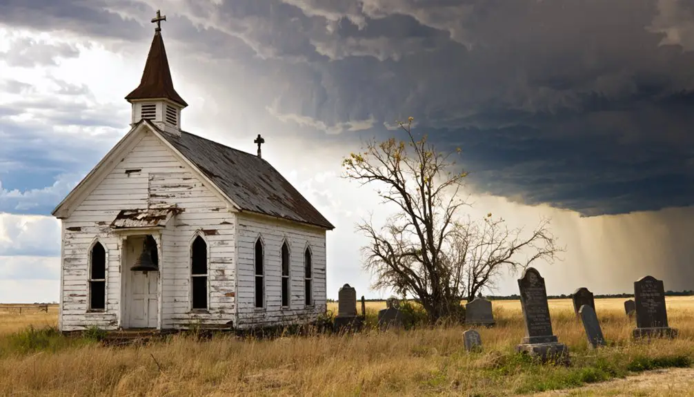
Distinguishing Features From Traditional Ghost Towns
Unlike traditional Oklahoma ghost towns born from oil booms and railroad speculation, Bethel’s transformation into a ghost town followed a distinctly different path.
Bethel’s uniqueness lies in its rural character and gradual decline rather than a sudden economic collapse. You’ll find modest residential structures scattered across the landscape instead of the concentrated commercial ruins typical of boomtowns. The nearest known haunted location, Kendalls Restaurant, is nearly 24 miles away, highlighting Bethel’s isolation from the region’s historical centers. While many communities became ghost towns due to natural disasters, Bethel’s decline came through other means.
Unlike rapid boom-and-bust towns, Bethel faded slowly, leaving scattered farmhouses where other ghost towns show clustered commercial decay.
The cultural significance of Bethel differs from other ghost towns in these key ways:
- No prominent supernatural folklore or haunted landmarks
- Absence of classic tourist attractions like abandoned saloons or dance halls
- Limited connection to railroad or highway development
- More stable historical population patterns before decline
The town’s layout reflects its agricultural roots, with dispersed homesteads rather than the dense commercial districts you’d expect in traditional ghost towns driven by industry or transportation.
Impact of Regional Economic Changes
While Bethel’s trajectory paralleled many Oklahoma ghost towns affected by fluctuating agricultural markets, you’ll find its story particularly tied to the broader economic shifts that swept through the region.
The town’s fate was sealed when major railroad developments bypassed the settlement, cutting off essential transportation links that could have sustained local commerce.
You can trace the final decline to the region’s mining industry changes, which drew workers away to more promising locations as extraction-based economies evolved.
Agricultural Market Evolution
As agricultural mechanization swept through Oklahoma in the mid-20th century, Bethel’s farming landscape underwent dramatic transformation.
You’d have witnessed small family farms giving way to larger operations as market fluctuations and changing commodity prices forced adaptation. Agricultural diversification became essential for survival, with farmers branching into specialty crops beyond traditional staples.
Key shifts in Bethel’s agricultural markets included:
- Over 96% of residents now commute to nearby cities, reducing local farming activity.
- Interstate 40 access opened new urban markets but increased outside competition.
- Natural resource booms temporarily boosted farm modernization through capital influx.
- Land use shifted from farming to residential development, responding to urban expansion.
These changes reshaped not just farming practices, but the very fabric of Bethel’s rural identity.
Railroad Development Effects
The arrival of the Blackwell, Enid and Southwestern Railway in 1901 marked a pivotal transformation in Bethel’s economic landscape.
You’ll find that this period of railroad expansion created new opportunities for local farmers and merchants, who could now ship their goods to broader markets across Oklahoma, Kansas, and Texas.
As you explore Bethel’s history, you’ll notice how the town’s fortunes became increasingly tied to rail connectivity. The economic dependency on railroad access shaped everything from grain storage facilities to banking services.
When rail traffic began to decline in the mid-20th century, Bethel faced the same challenges that plagued many Oklahoma railroad towns. The shifting transportation patterns ultimately led to reduced commerce, population loss, and the gradual transformation of once-thriving communities into quiet remnants of their former glory.
Mining Industry Transitions
Regional mining activity near Bethel played a significant role in Oklahoma’s economic evolution during the early 20th century.
You’ll find that local mining shifts followed predictable economic cycles, much like the dramatic rise and fall of nearby Picher, where lead and zinc extraction drove incredible prosperity before devastating decline.
The mining industry’s progression in this region revealed four critical phases:
- Initial boom (1913-1926) with rapid population growth to 14,000
- Peak production period (1917-1947) generating $20 billion in ore
- Gradual decline (1930s-1967) due to resource depletion
- Complete abandonment (1967-2009) following environmental crisis
You’re witnessing a stark reminder of how mining-dependent communities can transform from thriving economic centers to ghost towns when natural resources run dry and environmental consequences catch up.
Historical Landmarks and Preservation
While many Oklahoma ghost towns have faded into obscurity, Bethel’s historical landmarks tell a fascinating story of frontier life and economic boom-and-bust cycles.
You’ll find Fort Washita, established in 1842, standing as a symbol of the area’s military significance before Confederate forces seized it in 1861.
About 45 miles away, the Old Santa Fe Depot in Guthrie showcases early 20th-century railroad architecture, though it now sits empty awaiting restoration.
Ghost town preservation faces significant challenges in the region, with structures gradually succumbing to nature and limited funding.
Local historical societies work diligently to document these sites using historic maps and records.
The area’s rich heritage lives on through landmarks like the Blue Belle Saloon and various historic cemeteries, where you can explore the remnants of Oklahoma’s vibrant past.
Local Legends and Paranormal Tales
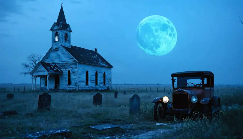
Beyond the physical remnants of Bethel’s historic structures lies a rich tapestry of local legends and paranormal tales.
While no direct ghostly encounters have been documented within Bethel itself, the surrounding Oklahoma region brims with eerie folklore that hints at supernatural presence. You’ll find stories of unexplained phenomena echoing throughout nearby ghost towns and historic sites.
Common paranormal reports in the area include:
- Shadow figures in black, particularly in neighboring cemeteries
- Unexplained voices and footsteps around abandoned buildings
- Cold spots and feelings of being watched
- Mysterious orbs and lights in the darkness
The tales often interweave with the area’s rich history of economic decline, frontier conflicts, and Native American displacement, creating a compelling narrative that continues to intrigue visitors and locals alike.
Comparing Bethel to Other Oklahoma Ghost Towns
Despite its classification among Oklahoma’s ghost towns, Bethel Acres stands as a unique counterexample to the typical abandoned settlement narrative.
Unlike ghost towns that withered after resource depletion or highway bypasses, you’ll find Bethel Acres has grown steadily from 1,083 residents in 1970 to 3,030 by 2020.
While places like Texola and Picher succumbed to economic collapse and environmental hazards, Bethel Acres thrived by maintaining its rural character and strategic location near Interstate 40.
The town’s deliberate incorporation in 1962 protected it from urban annexation, allowing residents to preserve their agricultural lifestyle.
You can see how Bethel Acres’ success stems from its diversified economy and proximity to urban centers, where 96.6% of residents now commute for work.
Modern Life in a Misclassified Ghost Town
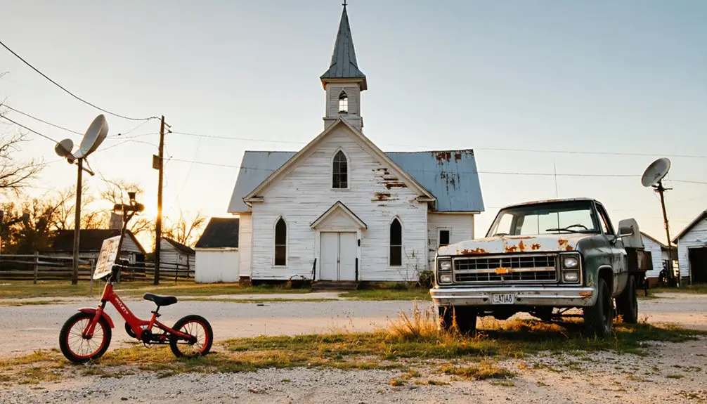
Present-day life in Bethel shatters typical ghost town expectations. You’ll find a vibrant community that’s maintained its economic resilience through local businesses and agricultural activities.
While the population isn’t booming, the town’s residents actively participate in community engagement through local governance and social events.
Here’s what sets Bethel apart from true ghost towns:
- Operational schools and public facilities serving families
- Functioning utilities and essential services like mail delivery
- Preserved and occupied historic buildings
- Active small businesses supporting the local economy
Despite being misclassified as a ghost town, Bethel’s ongoing community life proves it’s far from abandoned.
Bethel stands as living proof that small towns can thrive, maintaining vibrant communities despite misconceptions about their decline.
You’ll see maintained homes, working infrastructure, and a close-knit population that continues to invest in their town’s future through cultural preservation and local traditions.
Frequently Asked Questions
What Role Did Native American Tribes Play in Early Bethel Development?
All roads lead to wisdom: You’ll find tribal influence shaped Bethel’s growth through established trade routes, cultural exchange with the Five Civilized Tribes, and native communities’ agricultural practices that defined early settlement patterns.
Are There Any Historically Significant Cemeteries or Burial Grounds in Bethel?
You’ll find the historic Bethel Cemetery and nearby Bethel United Methodist Church Cemetery, where early settlers are buried. These preserved burial grounds offer cemetery tours showcasing pioneer heritage from the lost community.
How Did the Great Depression Specifically Affect Bethel’s Population and Economy?
With an 80% population decline, you’d have witnessed devastating economic decline as families left during the Dust Bowl years. Mass population migration emptied Bethel as farming collapsed and job opportunities vanished.
What Natural Disasters Have Significantly Impacted Bethel Throughout Its History?
You’ll find tornado impacts have been most devastating to Bethel, with multiple twisters striking the area throughout its history. The region’s flood history also shows periodic damage to local farms and infrastructure.
Were There Any Notable Conflicts Between Early Settlers and Existing Residents?
Like many sparks in dry grass, settler conflicts in this area were common, but you won’t find specific documented tensions between early residents in Bethel’s historical records.
References
- https://www.youtube.com/watch?v=5d-wHDTIbb0
- https://en.wikipedia.org/wiki/List_of_ghost_towns_in_Oklahoma
- https://www.okhistory.org/publications/enc/entry?entry=GH002
- https://www.okhistory.org/publications/enc/entry?entry=BE027
- https://www.hauntedplaces.org/bethel-acres-ok/
- https://www.kosu.org/local-news/2024-08-27/hope-in-sight-for-oklahoma-superfund-site-thanks-to-efforts-by-quapaw-nation
- https://www.youtube.com/watch?v=xg8SpCG-wDg
- https://www.kjrh.com/news/local-news/mines-that-turned-picher-into-ghost-town-still-50-years-away-from-full-cleanup
- http://sites.rootsweb.com/~oktttp/ghost_towns/ghost_towns.htm
- https://en.wikipedia.org/wiki/Bethel_Acres


