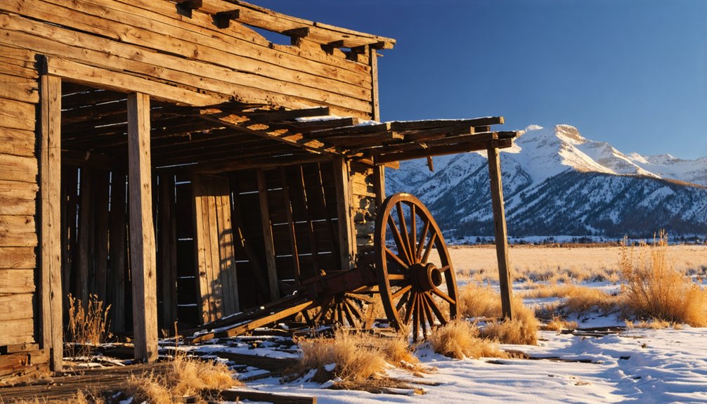
You’ll find Bijou Basin’s ghost town remnants in El Paso County, Colorado, where a frontier post office operated from 1869 to 1907. Named after French fur trapper Joseph Bijeau, the settlement features scattered ranch foundations, abandoned cabins, and geological formations including Fremont’s Fort. The basin’s semi-arid landscape supported hardy pioneer families who built a community around agriculture, blacksmithing, and dairy production. These weathered ruins hold stories of frontier life waiting to be discovered.
Key Takeaways
- Bijou Basin operated as a frontier settlement in El Paso County, Colorado, with its post office serving as a vital community hub from 1869-1907.
- The settlement’s decline began after 1907 when the post office closed, marking the end of its role as a commercial center.
- Early settlers included Lewis Haden and the Holden brothers, who established ranches and built log cabins in the 1860s.
- The ghost town sits at elevations between 7,020-7,220 feet, characterized by rolling terrain and influenced by Bijou Creek’s water system.
- Historical artifacts and structures remain protected by preservation groups that maintain the site’s frontier heritage through educational programs.
The Origins of Bijou Basin’s Name
While many ghost towns in Colorado derived their names from mining claims or early settlers, Bijou Basin‘s name traces back to the French word “bijou,” meaning jewel, and its connection to Bijou Creek.
The area’s French influence stems from early fur trappers who ventured through these rolling grasslands, particularly Joseph Bijeau, a guide for Stephen Long’s 1820 expedition. Bijeau’s name, often anglicized to “Bijou,” likely inspired the creek’s name, which in turn gave the basin its identity.
French fur trapper Joseph Bijeau, who guided Stephen Long’s 1820 expedition, left his legacy in the anglicized name “Bijou.”
You’ll find this French heritage preserved in the landscape where East and West Bijou Creeks merge to form the main waterway. The basin once supported a thriving community with a blacksmith shop and tavern. Today, the scenic beauty of the basin remains evident, having drawn the Bijou Springs Hunt to establish itself here in the 1980s.
The name’s staying power is evident in historical records, including the Bijou Basin post office that operated from 1869 to 1907.
Early Settlement and Pioneer Life
You’ll find the earliest signs of pioneer settlement in Bijou Basin around 1860, when Lewis Haden and the Holden brothers first staked their homestead claims in this fertile valley.
Life on these early ranches demanded constant work – from building log cabins and hunting for food to raising cattle and growing vegetables for Denver’s markets.
Similar to the Cache la Poudre Valley settlers, these pioneers found themselves in an area with abundant buffalo and high streams.
The harsh realities of frontier ranching shaped these pioneers’ daily existence, as they carved out a living from the land at 6,400 feet elevation, where help from Denver lay a two-day journey away.
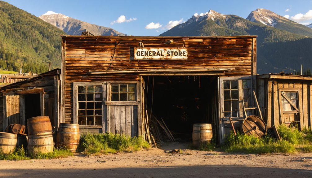
A vital part of the community was Mr. Petty’s general store, which kept the isolated settlers supplied with essential goods from Denver.
First Homesteads Arrive 1860
Three pioneering families laid the foundation for Bijou Basin’s settlement in 1860, with D.M. Holden, Steven Holden, and Lewis Hayden staking their claims in this promising valley.
Daniel M. Hayden, who’d arrived from New York the previous year, exemplified the pioneering spirit that drove settlers westward.
You’ll find their homesteading challenges reflected in the simple log cabins they built, structures that served as both shelter and family centers.
The Homestead Act of 1862 would soon encourage more pioneers to settle in the region, transforming the landscape with new farms and settlements.
These early settlers faced grueling 30-mile daily treks and potential conflicts with Native Americans, yet they persevered.
The rich grazing lands of Bijou Basin proved perfect for cattle and sheep ranching, while East and West Bijou Creeks provided essential water sources. Later, the area would establish a train station in 1869, making transportation and trade more accessible for the growing community.
Daily Ranch Life Challenges
Life on Bijou Basin’s early ranches tested settlers’ resilience far beyond the initial challenges of homesteading.
You’d find your ranching techniques constantly adapting to nature’s whims – today’s successful method might fail tomorrow. When blizzards struck, you’d struggle to reach your livestock through deep snowdrifts, while summer droughts left you searching for any remaining water in West Bijou Creek.
Your irrigation ditches, crucial for survival, demanded endless maintenance against silt and erosion. Every spring flood threatened to destroy months of work. The Cache La Poudre River became a vital water source that ranchers depended on heavily for irrigation.
You’d face grasshopper plagues that could devastate your crops overnight, and winters that’d keep you isolated for weeks. Without nearby markets or reliable roads, you couldn’t easily sell your surplus or get supplies.
The nearest doctor might be days away when illness struck.
Geographic Features of the Basin
Nestled in El Paso County, Colorado, Bijou Basin unfolds as a broad valley system at coordinates 39.1234°N, 104.4602°W, where pine trees and cottonwoods dominate the mixed forest-grassland landscape.
You’ll find yourself surrounded by gently rolling terrain with elevations ranging from 7,020 to 7,220 feet, punctuated by dramatic mesas and bluffs. The area’s diverse ecosystems support an impressive variety of wildlife species.
The basin’s geography tells a story of powerful forces, shaped by Bijou Creek’s periodic floods and the South Platte River’s drainage system. Ancient glacial meltwater floods carved these dramatic landforms during periods of rapid ice sheet melting.
You’ll notice diverse vegetation zones, from riparian corridors lined with willows to upland prairies dotted with grama grasses and yucca.
The semi-arid climate, delivering nearly 15 inches of annual rainfall, has sculpted this rugged landscape, while sedimentary rocks and rich alluvial soils reveal the basin’s complex geological history.
The Legend of Fremont’s Fort
You’ll discover that Fremont’s Fort, perched strategically atop one of Bijou Basin‘s prominent buttes, served as more than just a temporary camp during the 1842-1843 expeditions.
The elevated position offered Fremont’s team, including Kit Carson, clear sightlines of Native American movements through the basin while providing a naturally defensible position against potential encounters. The crew relied on tough bear meat as a vital food source after successfully hunting an old grizzly in the area.
The geological formation’s height and commanding views of the surrounding prairie made it an ideal outpost for both mapping the region and monitoring the well-traveled paths used by indigenous peoples below.
Native American Encounters Here
During John C. Fremont’s 1842 expedition, his team’s tense native encounters in Bijou Basin revealed the complex dynamics between explorers and indigenous peoples.
You’ll find evidence of these interactions at Fremont’s Fort, where his party fortified their position atop a butte after being pursued by warriors.
The basin served as a crossroads for cultural exchanges, particularly at Fremont’s Orchard, where natives traded furs with mountain men.
By the 1860s, settlers built fortified walls at the stage station to protect against what they called “Indian scares.”
The landscape tells a story of shared resources and contested territory, as natives continued their traditional hunting patterns while newcomers established homesteads.
Today, you can still visit Fremont’s Fort, a symbol of these pivotal encounters that shaped the region’s history.
Geological Formation’s Strategic Value
The geological forces that shaped Bijou Basin created a natural fortress at Fremont’s Fort, where Late Cretaceous and early Paleogene rock formations rise dramatically from the landscape.
The geological significance of this rugged terrain becomes clear when you study its strategic positioning within the basin’s complex network of bluffs and mesas.
- Resistant sandstone outcrops provide elevated vantage points overlooking vast plains and crucial travel routes
- Deep valley incisions and drainage networks connect to essential water sources along the Platte River system
- Natural defensive features offer protection against ambush, with escarpments reaching depths of 3,000 feet
You’ll find evidence of the region’s strategic importance in the diverse rock formations, which early pioneers like John C. Fremont recognized as ideal for defense and observation during westward exploration.
Life Around the Post Office
At Bijou Basin’s heart stood a humble post office, established in 1869 under postmaster D.M. Holden. You’d find this crucial hub serving as the lifeline between isolated settlers and the outside world, handling everything from personal letters to bulk supply orders.
The daily mail arrived via a challenging route from Monument to River Bend, then onwards to Bijou Basin by cart or horseback. You could’ve ordered essential supplies like 100-pound bags of flour through the post office, which served as the community’s commercial nucleus until 1907.
The mail route’s tortuous path tested the determination of carriers who battled harsh weather and rough terrain to deliver your correspondence. When you’d visit the post office, you’d discover more than mail – it was where news spread, connections formed, and commerce flourished.
Notable Early Residents
You’ll find that Lewis Haden, D.M. Holden, and Steven Holden were among Bijou Basin’s first settlers, staking their claims in 1860 when the area was still wild frontier.
Jim and Litt Johnson, Dan Maxon, and J.O. Phillips soon followed these pioneers, establishing their own homesteads in the basin.
The early community grew to include other notable residents like Jim Bruce, Sol Boyd, and John Bell, along with craftsmen such as Peterfish the blacksmith, though some settlers’ first names have been lost to time.
Pioneer Family Settlements
Several pioneering families established themselves in Bijou Basin around 1860, with D.M. Holden, Steven Holden, and Lewis Hayden leading the settlement charge.
The pioneer family dynamics centered around interconnected relationships, with Isabel Hayden Holden’s marriage to Daniel M. Hayden in 1865 strengthening the community’s foundation.
- Ranches and homesteads sprung up along East and West Bijou Creeks, providing essential water access for livestock.
- The Holden-Hayden alliance established significant infrastructure for ranching community development.
- Annie C. Reilly brought cultural refinement as a multilingual teacher at Running Creek school.
These determined settlers transformed the untamed basin into a thriving ranching community, raising cattle and sheep while building sawmills.
You’ll find their legacy in local place names and the remnants of their original homesteads, proof of their frontier spirit.
Original Town Founders
The pioneering spirit of Bijou Basin took root in 1860 when Lewis Haden, D.M. and Steven Holden first staked their claims in this untamed territory. They’d soon be joined by Jim and Litt Johnson, Dan Maxon, and J.O. Phillips, establishing the foundation of what would become a small but determined settlement.
Among these early homesteaders were Jim Bruce, Sol Boyd, and John Bell, along with tradesmen like Peterfish, the community’s blacksmith.
The settler demographics paint a picture of hardy Anglo-American farmers and craftsmen who claimed lands once belonging to the Ute people, who’d been forced out by 1879.
While local legend places explorer John C. Frémont in the area during the 1840s, it’s the everyday pioneers who truly shaped Bijou Basin’s character, eventually establishing the county’s first school in 1874.
Economic Activities and Daily Life
Life in Bijou Basin centered around a mix of agricultural and service-based activities during its peak years between 1869 and 1907.
You’d find farmers working their lands while the local cheese factory turned their dairy products into marketable goods. The community’s agricultural practices thrived thanks to the blacksmith shop, where tools and equipment were kept in working order.
- The tavern served as the heart of community gatherings, where you could share news and stories.
- Local dairy farms produced milk for the cheese factory, which shipped products as far as 1901.
- The blacksmith’s hammer rang daily, maintaining essential equipment for farming and transport.
Daily routines revolved around the natural rhythms of farm life, while the post office kept residents connected to the outside world through mail route 49.
The Basin’s Natural Landscape
Beyond the farms and settlements, Bijou Basin‘s natural character emerges through its remarkable geological features and rich biodiversity.
You’ll find yourself in a broad valley where Bijou Creek carves its 45.5-mile path northeast to the South Platte River, creating diverse natural habitats along its course.
The basin’s ecological significance reveals itself in the mixed landscape of native prairie grasses, scattered pine woodlands, and cottonwood-lined creek beds.
You’re walking through territory where pronghorn and mule deer roam freely, while raptors soar overhead.
The creek’s riparian corridors serve as essential stopovers for migratory birds, maintaining the same wild spirit that attracted early settlers.
The semi-arid climate shapes a patchwork of vegetation, from sagebrush to yucca, adapting to the region’s challenging conditions.
From Thriving Town to Abandonment
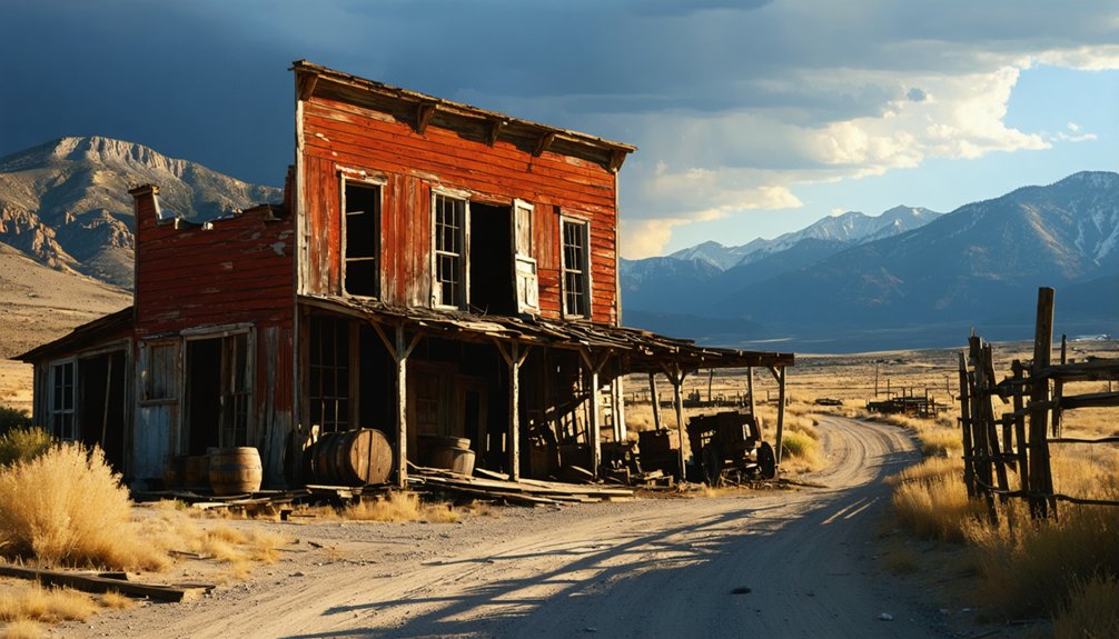
During the promising 1860s, pioneering families like the Hadens, Holdens, and Johnsons carved out a frontier settlement in Bijou Basin, establishing what would become an essential stopover along post road 49.
The town’s cultural heritage centered around ranching life, with the post office’s 1869 establishment marking its growth.
You’ll find these remnants of historical significance:
- A strategic location near Fremont’s Fort and Eagle Rock, offering natural protection
- Rich agricultural lands that sustained the community through frontier challenges
- Evidence of Native American conflicts that shaped settler life
Preserving Bijou Basin’s History
While natural decay and human interference threaten Bijou Basin’s remaining structures, several preservation organizations have stepped forward to protect this frontier settlement’s legacy.
The Ghost Town Club of Colorado leads community engagement efforts through workshops, fundraising auctions, and volunteer restoration projects. Their Preservation Fund channels donations directly into maintaining historic buildings that face weathering and vandalism.
Visitors to the area can explore ghost town attractions near Tomboy, Colorado, which showcase the rich mining history and the stories of those who once lived there. These sites not only provide a glimpse into the past but also offer unique experiences for families and history enthusiasts alike. By supporting preservation efforts, guests can help ensure that these remarkable landmarks continue to tell their tales for generations to come.
Dedicated preservationists raise funds and coordinate volunteers to protect historic structures from time’s relentless toll and human damage.
You’ll find preservation challenges amplified by past federal policies that once encouraged demolition of ghost town structures.
Today’s efforts focus on documenting the site through photographs, maps, and oral histories while establishing interpretive trails. Local residents and descendants of original settlers serve as custodians, working alongside preservation groups to protect these tangible links to Colorado’s frontier past.
Through educational initiatives, you’re encouraged to “take only pictures, leave only footprints” when visiting this historic site.
Frequently Asked Questions
Are There Any Artifacts or Relics Still Found in Bijou Basin Today?
Can you imagine uncovering history? You’ll find significant artifacts in the area today, from prehistoric quartzite tools to homesteading relics, though you’ll need proper permissions for historical preservation efforts.
What Wildlife Species Currently Inhabit the Abandoned Bijou Basin Area?
You’ll spot diverse wildlife through careful observation, including Western Meadowlark, Lark Bunting, Burrowing Owl, black-tailed prairie dogs, and potential beaver activity near wetlands during species identification excursions.
Can Visitors Legally Explore the Former Townsite of Bijou Basin?
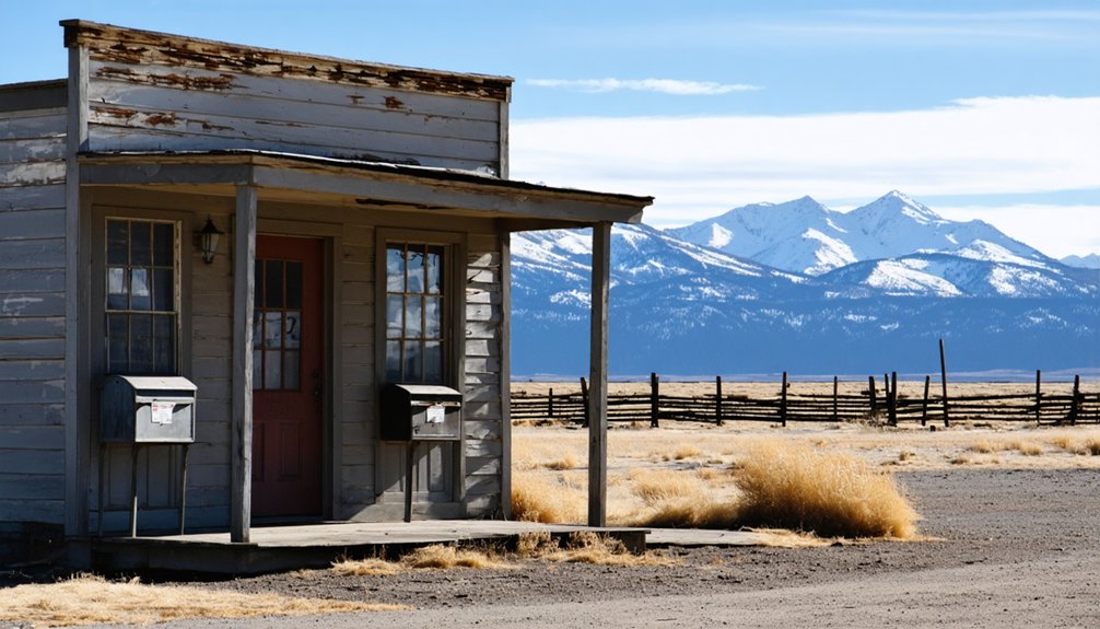
Since 1907’s post office closure, you’ll need landowner permission for townsite access, as 100% of Bijou Basin lies on private property. Check local legal regulations before exploring these historic grounds.
Were There Any Notable Crimes or Conflicts During Bijou Basin’s Existence?
While regional tensions existed with Indigenous peoples, you won’t find documented evidence of specific Bijou Basin crimes or conflicts in surviving records, beyond Frémont’s reported encounter near Bijou Creek.
Did Any Famous People Besides John Fremont Visit Bijou Basin?
You’ll be intrigued to know that Kit Carson, Chief Black Kettle, and General Custer’s associate Colonel Stotts frequented the area. Captain Baker, a frontier scout, also left his mark on these historic trails.
References
- https://newfalconherald.com/in-search-of-lost-towns/
- https://www.denver7.com/news/local-news/colorado-ghost-towns-their-past-present-and-future-in-the-rocky-mountains
- https://en.wikipedia.org/wiki/Bijou_Basin
- https://www.youtube.com/watch?v=up_V2D_x_2E
- https://kids.kiddle.co/List_of_ghost_towns_in_Colorado
- http://www.cwmceffyl.com/History-of-the-Bijou-Basin
- https://en.wikipedia.org/wiki/List_of_ghost_towns_in_Colorado
- https://ghosttownmuseum.com/our-story/
- https://www.visitouray.com/ghost-towns
- https://newfalconherald.com/bijou-basin-o-a-gem-on-the-plains/


