Bell, Oklahoma Ghost Town
Nestled in Oklahoma’s mining country, Bell’s abandoned streets whisper tales of fortune, witchcraft, and an unexplained exodus that haunts visitors today.
Bell, Oklahoma Ghost Town Read More »
Nestled in Oklahoma’s mining country, Bell’s abandoned streets whisper tales of fortune, witchcraft, and an unexplained exodus that haunts visitors today.
Bell, Oklahoma Ghost Town Read More »

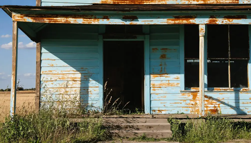
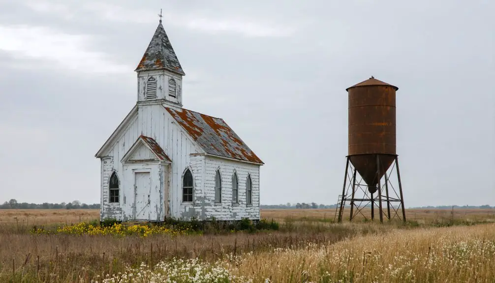
Lawless Beer City’s wild frontier past hides tales of bullet-riddled sheriffs and buried bootlegger treasure in Oklahoma’s infamous No Man’s Land.
Beer City, Oklahoma Ghost Town Read More »
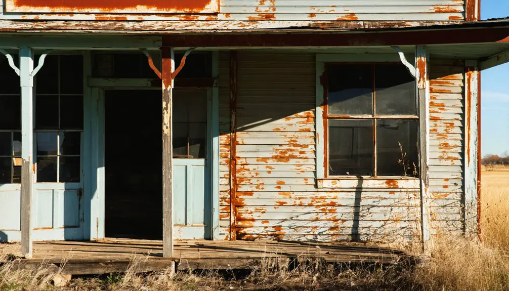
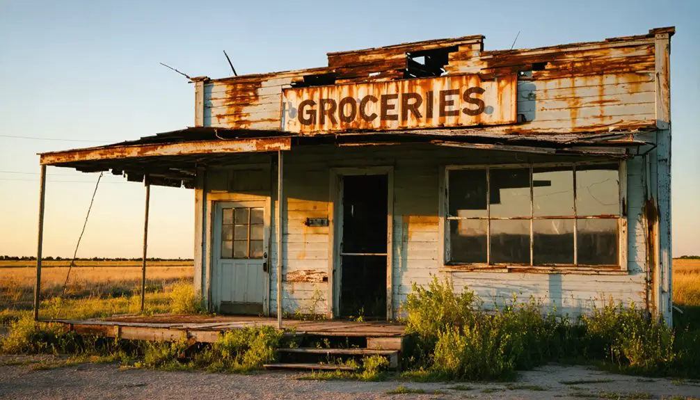
Traversing Route 66, Beck’s haunting ruins reveal tales of bootleggers and broken dreams in this forgotten Oklahoma frontier town.
Beck, Oklahoma Ghost Town Read More »
Cherokee Strip’s all-female ghost town vanished after just 12 weeks, leaving behind a puzzling tale of 33 pioneering women.
Bathsheba, Oklahoma Ghost Town Read More »
Oklahoma’s forgotten prairie town of Bailey holds secrets of bustling cotton gins and frontier dreams in its abandoned ruins.
Bailey, Oklahoma Ghost Town Read More »
When railroads bypassed this once-thriving Seminole settlement, Avoca’s transformation from bustling frontier town to ghost town began.
Avoca, Oklahoma Ghost Town Read More »

Near Cushing, Oklahoma lies the haunting remains of Avery, a once-thriving railroad town that mysteriously faded into prairie dust.
Avery, Oklahoma Ghost Town Read More »

In this abandoned Oklahoma railroad town, restless spirits are said to roam the haunted halls of Avard’s deteriorating gymnasium.
Avard, Oklahoma Ghost Town Read More »
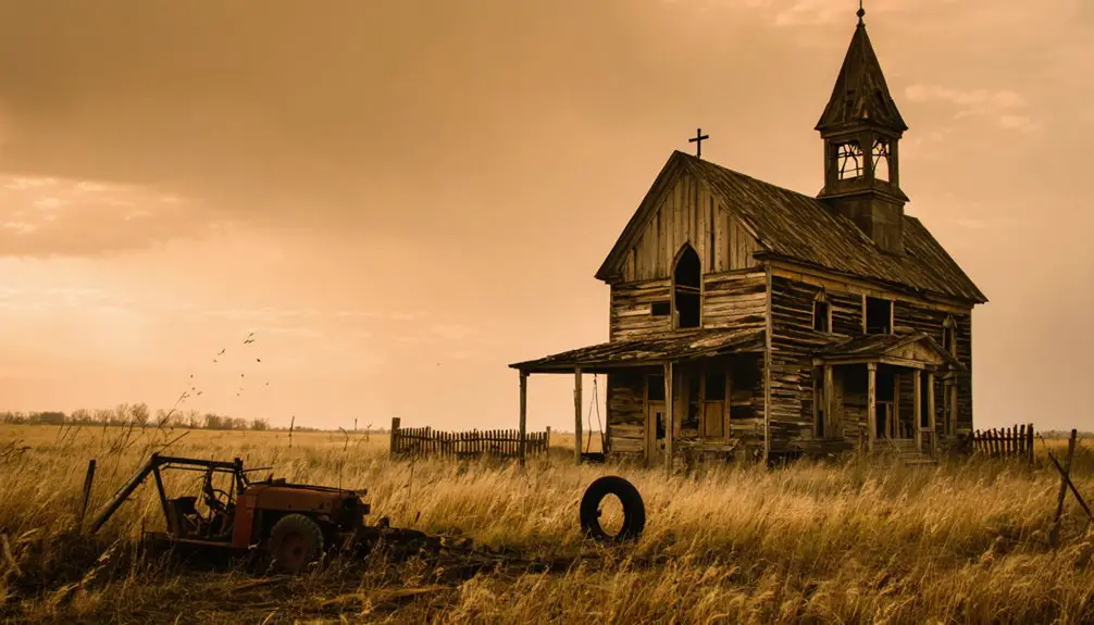
Once a thriving farming town in Oklahoma, Autwine vanished after natural disasters struck, leaving only memories buried beneath quiet fields.
Autwine, Oklahoma Ghost Town Read More »

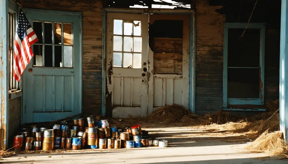
Near Duncan lies Arthur’s ghostly remains, where Wild Horse Creek once flowed through a bustling frontier community.
Arthur, Oklahoma Ghost Town Read More »