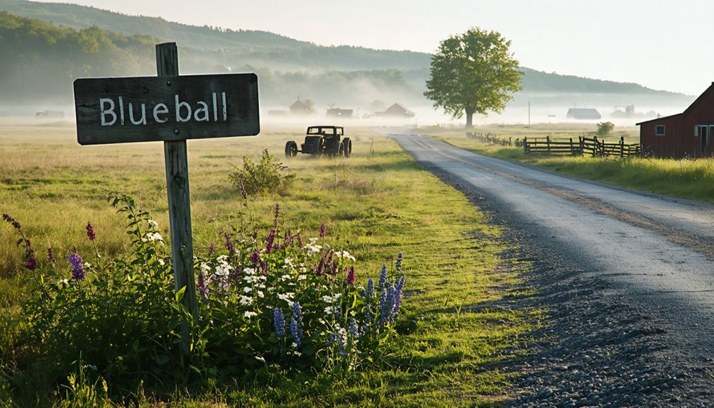
You’ll find Blue Ball’s origins as a bustling stagecoach stop dating back to 1796, when Joseph Parks first established the community. Originally named Guilford, it became Blue Ball in 1852 after Jonathan Emmons’ distinctive tavern sign. The settlement thrived along the Dixie Highway until the mid-20th century, serving as a crucial transportation hub between Dayton and Cincinnati. Though now absorbed into Middletown since 1994, fascinating tales of hidden rooms and ghostly encounters still linger in local lore.
Key Takeaways
- Blueball was an independent Ohio settlement established in 1852, known for its strategic location along the Dixie Highway and stagecoach routes.
- The community began declining when railroad transportation overshadowed stagecoach travel, leading to population migration toward larger urban centers.
- Originally named Guilford, the town was renamed Blueball after Jonathan Emmons installed a distinctive blue ball sign at his tavern.
- The ghost town was officially absorbed into Middletown through annexation in 1994, losing its independent identity and historical boundaries.
- Historical buildings from Blueball’s pioneer era have largely disappeared, with former farmlands now converted to suburban development under Middletown.
The Pioneer Settlement Years
While the Ottawa tribe initially occupied reservations in the area, the pioneer settlement of Blueball began taking shape after 1820 when the tribe sold their land and moved westward.
You’ll find that pioneer challenges were significant as early settlers like Joseph Parks established the community’s origins in 1796, with the town officially named Blueball in 1852.
The settlement dynamics of the region were marked by steady expansion, particularly after the 1795 Treaty of Greenville opened southern Ohio for development.
Along rivers and creeks, settlers constructed log cabins in the standard style of the era.
The first frame school building was erected in 1847 to serve the growing population of pioneer families.
The area’s transformation accelerated as European pioneers arrived in greater numbers, though they faced initial cultural clashes with remaining Native Americans over land ownership.
Like many early Ohio settlements, the community dealt with isolation and hardship, though a strong pioneer spirit united the residents as they worked to build their new home.
From Guliford to Blue Ball: A Name’s Evolution
You’ll find the story of Guilford’s name change begins with its original designation honoring Cincinnati politician Nathaniel Guilford, as the settlement served as a stagecoach stop between Cincinnati and Dayton.
The tavern originally operated by James Weir would later become an important establishment in the village’s history. When tavern keeper Jonathan Emmons purchased the local establishment, he installed a distinctive blue ball sign that would eventually inspire the community’s new identity.
In 1852, the settlement officially became known as Blue Ball, cementing its transition from the Guilford name.
Name Origins Behind Guliford
Before becoming known as Blue Ball, this small Ohio settlement was originally called Guilford, a name established by Jonathan Emmons after purchasing the local tavern from Thomas Vail.
The Guilford surname itself has deep roots in Old English, dating back to pre-7th century Britain, where it derived from the elements “gylde” (gold) and “forda” (ford). Early church records show that Sir John de Guldeford was the first documented bearer of this family name during King Edward II’s reign. Like other Norman names, the spelling underwent various changes after the Norman Conquest of 1066.
You’ll find this historic name documented in the Anglo-Saxon Chronicles as “Gyldeford” in 880 AD, with several variations emerging over time:
- Recorded spellings include Guildford and Guldforde
- Originally a habitational name from Surrey, England
- Represents a crossing point associated with gold
- Reflects the area’s significance as a strategic ford location
The name would persist until the community officially adopted Blue Ball in 1852, marking the end of the Guilford era.
Town’s Identity Crisis Explained
Despite its humble beginnings as Guliford, this small Ohio settlement underwent a significant identity transformation in 1862 when Jonathan Emmons purchased the local tavern from Thomas Vail and installed a distinctive blue ball sign.
The community’s transformation from Guliford, named after Cincinnati politician Nathaniel Guliford, to Blue Ball reflected a common pattern of identity shifts in early Ohio towns, similar to how South Lebanon was Deerfieldville until 1871.
You’ll find similar examples in nearby settlements like Freeport becoming Oregonia and Palmyra changing to Mason.
The crossroads tavern, situated at today’s Dixie Highway and old Irish Road, served as a vital stagecoach stop between Cincinnati and Dayton.
Under James Weir’s management, the establishment thrived as a gathering place, cementing the new Blue Ball identity that would define this small but notable waypoint. Today, with a population of 752 residents, the unincorporated town maintains its unique historical character.
Life Along the Dixie Highway
The Dixie Highway transformed rural America between 1915 and 1927, creating an essential transportation artery that connected the Midwest to the South. Carl G. Fisher spearheaded the ambitious project to promote tourism and commerce between Michigan and Miami Beach.
If you’d traveled through Blue Ball during this era, you’d have found yourself at a historic crossroads where the Dixie Highway intersected with the old Irish Road, marked by the town’s namesake blue globe sign hanging over a bustling stagecoach stop and tavern. The highway’s route strategically meandered through towns to take advantage of the growing automobile travel trend.
- Merchants and travelers gathering at the Blue Ball tavern, sharing news and stories from their journeys
- Horse-drawn wagons giving way to early automobiles on newly paved roads
- Local families watching tourist traffic flow between Cincinnati and Dayton
- Roadside monuments and landmarks springing up, including the 1927 Robert E. Lee memorial
The highway didn’t just connect cities – it breathed new life into small communities, ending the isolation of rural America.
The Stagecoach Era Legacy
While railroads eventually overshadowed stagecoach travel, Blue Ball’s strategic position as a transportation hub during the stagecoach era left an indelible mark on the region’s development.
You’ll find the town’s influence stemmed from its location along major stagecoach routes connecting eastern and western Ohio. Stage lines maintained brisk ten-mile-per-hour speeds, changing horse teams every twelve miles to guarantee reliable service.
Stagecoach lines crisscrossed Ohio, with fresh horses every dozen miles ensuring swift transport at ten miles per hour.
The town’s economic partnerships flourished as innkeepers and stage operators worked together, with mail contracts driving profitability. At six cents per mile, passengers could depend on well-maintained roads, including the Lancaster Road’s sturdy stone base.
Blue Ball’s taverns and inns became crucial community centers where travelers exchanged news and conductors coordinated their operations, creating a bustling transportation network that served the region for over five decades.
Decline and Absorption Into Middletown

Shifting away from its stagecoach heyday, Blue Ball’s independent status began to wane in the 20th century. The population migration toward larger urban centers, particularly Middletown, created an economic transformation that gradually diminished the community’s self-sufficiency.
You’ll find that by the late 20th century, Blue Ball’s destiny was inevitably tied to its larger neighbor, culminating in its 1994 annexation into Middletown.
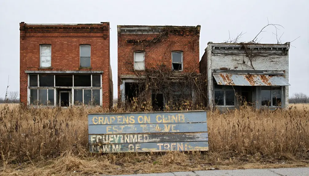
- Empty storefronts where bustling businesses once served travelers along the Dixie Highway
- Former farmlands giving way to expanding suburban development
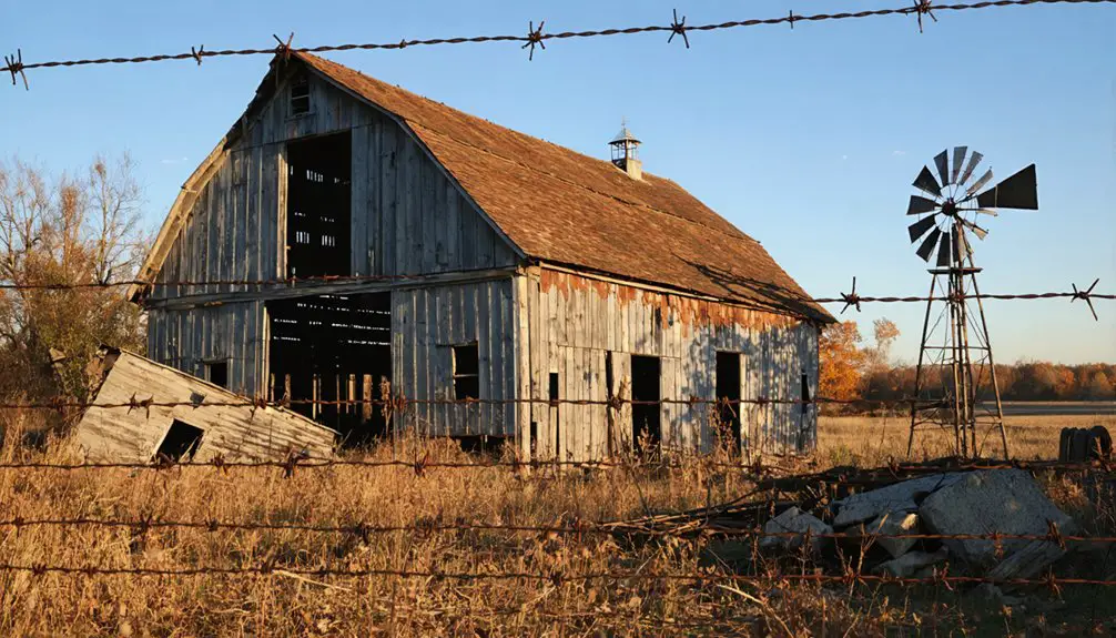
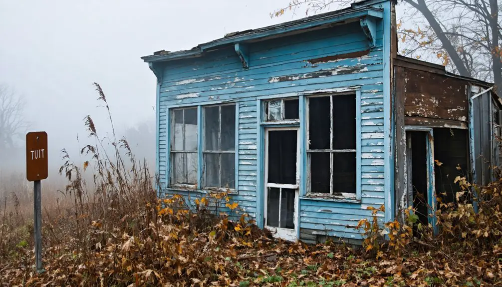
- Historical buildings slowly fading into the landscape without preservation
- Road signs marking the community’s boundaries being replaced with Middletown city limits markers
The absorption of Blue Ball into Middletown marked the end of its independent identity, though its historical significance remains preserved in local archives.
Preserved Stories and Local Legends
Beyond its physical transformation into a Middletown suburb, Blue Ball’s rich history lives on through compelling local legends and documented paranormal accounts.
You’ll find the most chilling ghostly encounters centered around the tavern itself, where a hidden room revealed a chained skeleton during demolition. Night travelers reported hearing mournful screams near the site before this grim discovery, though the haunting ceased after the remains received a proper burial.
The area’s local folklore extends beyond Blue Ball, with Butler County housing numerous documented hauntings. You can trace supernatural tales to the Old Adams Mansion, where a spectral dog drags an unseen body, and to Sorg’s Theater, where an apparition paces through underground tunnels.
These preserved stories keep Blue Ball’s mysterious past alive.
Historical Significance in Butler County
You’ll find Blueball’s early settlement roots trace back to before 1820, when it was established as Guliford along a vital stagecoach route between Dayton and Cincinnati.
The community’s strategic location along the Dixie Highway positioned it as an important transportation hub during Ohio’s pioneer era.
Its development pattern reflected the typical growth of 19th-century Butler County settlements, serving travelers and connecting the region’s emerging network of townships.
Early Settlement Development
Before becoming a ghost town, Blueball emerged as a significant early settlement in Butler County’s Lemon Township prior to 1820. Originally named Guliford after Cincinnati politician Nathaniel Guliford, the settlement patterns showed how pioneer families strategically chose this location.
The Balls family, along with other prominent settlers like the Dotys, Enochs, and Shafors, made substantial family contributions to the area’s development.
- Davis and Mary Hatfield Ball established Ball’s Ferry nearby, creating an essential transportation link.
- The Freemans, Reeds, and Stewarts built homesteads that shaped the township’s boundaries.
- Early settlers faced challenges from Native American conflicts near Seven Mile Creek.
- The Wards and Clarks helped establish community foundations that would last generations.
Pioneer Transportation Hub
Blueball’s strategic location made it an essential transportation nexus in Butler County’s early development.
You’d find the settlement positioned along key transportation routes that connected the Miami River trade to the Cincinnati-Dayton turnpike.
Local merchants capitalized on the natural waterway system, shipping trade commodities downstream to Cincinnati for distribution along the Ohio and Mississippi Rivers.
Frequently Asked Questions
Are There Any Remaining Original Buildings From Blue Ball Still Standing Today?
You’ll find only one piece of original architecture remaining: a weathered brick one-room schoolhouse that stands as the sole proof of Blueball’s historical significance amid surrounding agricultural fields.
What Was the Peak Population of Blue Ball During Its Heyday?
Ever wonder what a bustling frontier crossroads looked like? While exact ghost town demographics aren’t recorded, you’ll find Blue Ball’s historical significance peaked during the 19th century stagecoach era before declining.
The history of blue ball, ohio reveals a unique blend of cultures and commerce that shaped the region. As travelers passed through, they contributed to a vibrant exchange of goods and stories that defined the local identity. Today, remnants of this era can be explored, offering a glimpse into the past and the enduring legacy of the community.
The history of San Toy, Ohio, reflects similar dynamics, where transient populations and burgeoning trade routes fostered a rich tapestry of settlement and culture. This once-thriving community became a hub of activity, showcasing the stories of those who forged their paths in an ever-changing landscape. As you stroll through the remnants of San Toy, echoes of the past can still be felt, inviting exploration and reflection on the lives that once animated this corner of the frontier.
Did Blue Ball Have Its Own Post Office or School?
You won’t find evidence of a dedicated post office or local school in Blue Ball – it served only as a mail route stop in 1817, relying on neighboring towns for essential services.
When Was the Last Time Blue Ball Appeared on Official Ohio Maps?
You’ll find Blue Ball’s last official map appearance in 2003 on Warren County’s Highway Map, marking the end of its historical significance on state documents and reflecting major map changes in Ohio.
Were There Any Notable Crimes or Accidents Recorded in Blue Ball’s History?
You won’t find any documented crimes or accidents in Blue Ball’s historical records. Despite searches for mysterious disappearances or unsolved cases, the town’s history remains remarkably free of notable incidents.
References
- https://ohioghosttowns.org/county-data-charts/
- https://academickids.com/encyclopedia/index.php/Blue_Ball
- https://coldwellbankerishome.com/blog/haunted-ohio-local-lore-and-legends
- https://kids.kiddle.co/List_of_ghost_towns_in_Ohio
- https://discover.hubpages.com/travel/ohio-ghost-towns
- https://www.ghosttowns.com/states/oh/blueball.htm
- https://ohiogenealogyexpress.com/paulding/pauldingco_hist_1917_chapt_xli.htm
- http://www.villageofpioneer.org/history/
- https://www.midpointelibraryblog.org/blog/2021/3/25/tbt-blue-ball-ohio
- https://www.youtube.com/watch?v=X4yqZLRFvZw