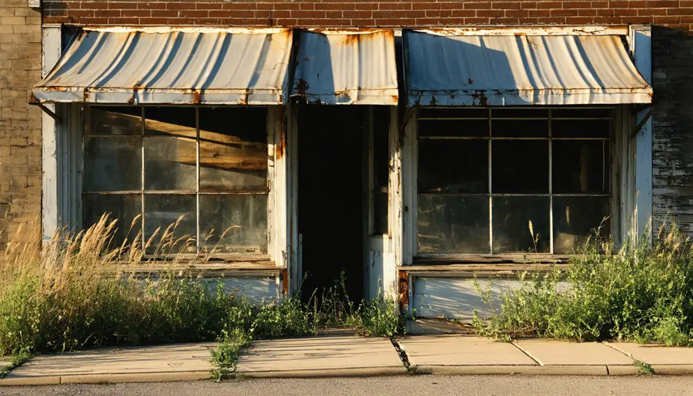
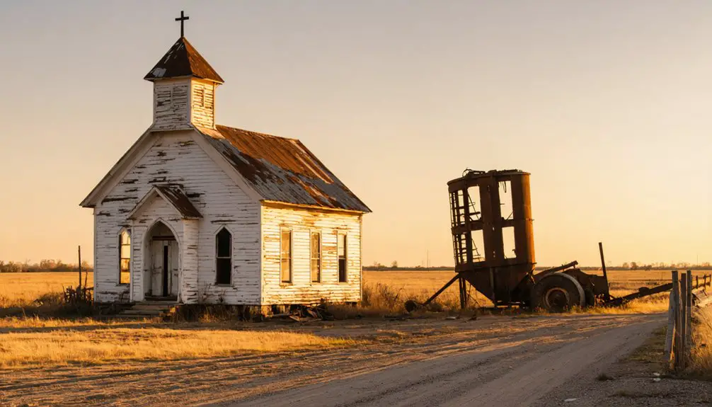
Bridgeport, Oklahoma began as a crucial river crossing settlement that grew into a thriving Route 66 town. You’ll find its origins in the 1890s when stagecoaches used the Canadian River crossing, followed by railway expansion in 1891. At its peak, the town boasted 3,000 residents and 76 businesses. Today, you’ll discover only scattered ruins, including the iconic 1907 Methodist Church and the William H. Murray “Pony” Bridge – silent witnesses to a once-bustling community’s fascinating transformation.
Key Takeaways
- Bridgeport evolved from a river crossing settlement into a bustling town of 3,000 residents with 76 businesses during its peak.
- The town’s prosperity relied heavily on the railway junction and Route 66 tourism until road realignments bypassed the community.
- Economic decline began in 1914 due to railway financial troubles and worsened when the Murray Bridge diverted traffic from the town.
- Notable remnants include the 1907 First United Methodist Church, Old Post Office, and scattered ruins of gas stations and tourist courts.
- The town transformed from a thriving commercial hub into a ghost town, with only concrete roadbeds and deteriorating structures remaining.
The Birth of a River Crossing Settlement
When stagecoaches first sought passage across the Canadian River in northeastern Oklahoma, they discovered a significant crossing point that would become Bridgeport.
You’ll find the settlement origins were deeply tied to this essential river crossing, where teams had to carefully navigate the mile-wide river to avoid treacherous quicksand.
During high water, you’d have seen a ferry system transporting stagecoaches and freight across the Canadian River. The location served as a waiting point for travelers in the 1890s, earning its fitting name “Bridgeport.” Similar to how Fort Caroline was strategically positioned along waterways in Florida, this crossing point proved vital for regional transportation.
The strategic crossing point attracted cotton farmers to the surrounding area, establishing the foundation for the region’s agricultural economy. The Chicago Rock Island Railway constructed a crucial bridge in 1891, creating a work camp that evolved into a small settlement. This transportation hub would later transform from a simple fording location into a notable settlement, marking the beginning of Bridgeport’s story.
Railway Junction Brings Prosperity
After the Chicago, Rock Island and Pacific Railway constructed a bridge over the Canadian River in 1891, Bridgeport transformed from a simple river crossing into a bustling rail junction.
Railway expansion accelerated in 1898 when the Choctaw, Oklahoma & Gulf Railroad extended westward, followed by the Enid and Anadarko Railway’s north-south line in 1901. These converging rail lines created essential trade connections across Oklahoma and beyond. The railroad’s financial troubles in 1914 marked the beginning of economic challenges for the region.
Strategic rail expansion in Oklahoma created a vital transportation network, as multiple railroad companies established converging routes across the region.
You’d have witnessed Bridgeport’s remarkable growth as it flourished into a commercial hub of 3,000 residents with 76 businesses. The town boasted two banks, a productive flour mill, hotels, and modern waterworks.
The railway junction’s strategic location facilitated cotton shipments and agricultural trade while connecting to major routes reaching Texas and New Mexico, securing Bridgeport’s position as a crucial transportation node in western Oklahoma. The town’s economy thrived on cotton production until the 1920s.
Route 66 Era and Golden Years
You’ll find Bridgeport reached its zenith during the Route 66 era, when the town boasted 76 businesses and up to 3,000 residents serving both locals and travelers along America’s Mother Road.
The town’s prosperity centered around George Kay’s 1921 suspension toll bridge, which charged $1.00 for cars and $1.50 for trucks to cross the Canadian River. Today, the historic William H. Murray Bridge, commonly known as the “Pony” Bridge, stands as a testament to innovative engineering and preservation efforts. Like many communities that prospered along the Main Street of America, Bridgeport supported a thriving local economy during its heyday.
This golden age ended when the 1934 realignment of Route 66 bypassed the town, though the historic bridge remains as a monument to Bridgeport’s brief but significant role in early automobile tourism.
Tourist Boom and Commerce
During its heyday from 1926 to 1934, Bridgeport thrived as a bustling commercial hub along Route 66, anchored by its iconic suspension toll bridge across the Canadian River.
You’d have found a vibrant town of 3,000 residents supporting 76 businesses, including two banks, hotels, and a flour mill producing 100 barrels daily.
The tourist influx brought steady traffic to the “Y” junction, where travelers could stop at various cafes, gas stations, and tourist courts.
Cotton farming bolstered the local economy, while multiple railroads made Bridgeport a crucial transportation hub.
The famous 38 truss pony bridge still stands as a testament to the town’s engineering achievements during this era.
The town’s prosperity showed in its infrastructure, featuring a waterworks system with a 40,000-gallon elevated tank.
However, this golden age ended when commerce declined after the 1934 highway realignment, which bypassed Bridgeport and redirected traffic 0.7 miles south.
Route 66 Bridge Legacy
The Route 66 era brought Bridgeport’s bridges to national prominence, establishing the town as a key crossing point over the Canadian River.
You’ll find two distinct bridges that shaped the town’s destiny: the 1921 suspension toll bridge and the William H. Murray Bridge, built in 1933.
The toll bridge’s steep fees ($1.00 for cars, $1.50 for trucks) eventually led to its demise, while the Murray Bridge, spanning 3,900 feet with 38 camelback spans, became a symbol of engineering innovation.
A festive reopening ceremony celebrated the bridge’s restoration, drawing over 350 vehicles from multiple states to mark the historic occasion.
Bridge preservation efforts have kept this cultural significance alive through an 18-month rehabilitation project, preparing it for Route 66’s 2026 centennial.
The bridge’s transformation from a structurally deficient crossing to a restored landmark demonstrates Oklahoma’s commitment to protecting its transportation heritage.
Currently rated at 21.1 out of 100 for structural sufficiency, the bridge faces ongoing challenges in meeting modern traffic demands.
A Town’s Peak: Commerce and Community Life
At its zenith in the early 1900s, Bridgeport flourished as a bustling commercial hub with approximately 3,000 residents and 76 diverse businesses.
You’d find evidence of commerce growth through its two banks, flour mill processing 100 barrels daily, and multiple retail establishments serving both locals and travelers.
The town’s community resilience showed in its robust infrastructure, including a waterworks system with a 40,000-gallon elevated tank and essential transportation links.
You could witness the social fabric through the First United Methodist Church, established in 1907, and the post office that opened in 1895.
Main Street’s transformation from tents to brick buildings reflected economic stability, while cafes, tourist courts, and gas stations clustered near highway junctions served the community’s evolving needs.
The historic Canadian River bridge, featured in the iconic 1940 film “The Grapes of Wrath,” became a symbol of the town’s connection to Route 66 culture.
The Turning Point: Highway Realignment
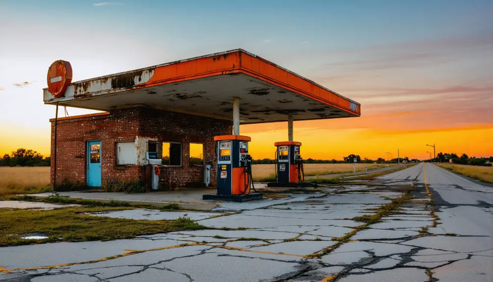
Between 1931 and 1934, a major realignment of Route 66 forever changed Bridgeport’s destiny by creating a direct path from El Reno to Hydro.
The transportation evolution brought wider, 20-foot roads with improved drainage systems, but it bypassed the original dirt road through Bridgeport, sealing the town’s economic decline.
Progress paved new paths around Bridgeport, leaving the once-bustling town stranded beside its forgotten dirt road.
The realignment’s impact on Bridgeport included:
- The replacement of the tolled Key Bridge with the William H. Murray “Pony” Bridge
- The loss of crucial traffic flow that had sustained local businesses
- The rapid transformation of a thriving community into a ghost town
You can still find remnants of Bridgeport’s original concrete roadbed near US 281, a reflection of the town’s brief prominence during the early days of America’s Mother Road.
Standing Sentinel: Surviving Landmarks
While time and neglect have erased much of Bridgeport’s former glory following the Route 66 realignment, several significant landmarks still stand as silent witnesses to the town’s vibrant past.
You’ll find the architectural significance of the 1907 First United Methodist Church prominently displayed at Broadway and Market St., while the deteriorating Old Post Office serves as a reminder of simpler civic designs.
The iconic Pony Bridge, stretching nearly 4,000 feet across the South Canadian River, remains the town’s most impressive cultural heritage site.
Throughout Bridgeport, you’ll encounter scattered ruins of gas stations, tourist courts, and the old bus depot near the “Y” junction.
The town cemetery and remaining inhabited structures complete this ghostly landscape, offering you glimpses into the community’s former liveliness.
Echoes of the Past: Stories and Legends
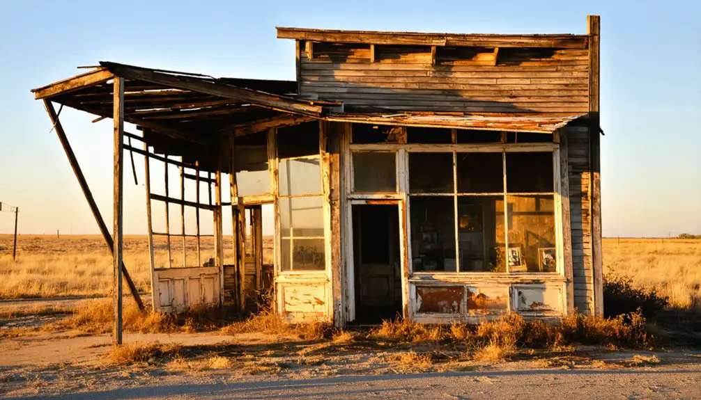
If you explore Bridgeport’s storied past, you’ll find accounts of a notorious town feud that shaped local dynamics during the boom years of settlement and commerce.
The town’s most intriguing tale involves Bonnie and Clyde‘s reported visit to the local gas station before it became a bus depot, adding to the location’s mystique.
These stories, passed down through generations of residents, paint a vivid picture of Bridgeport’s evolution from a bustling crossroads to its eventual decline.
Bonnie and Clyde’s Visit
The notorious outlaws Bonnie Parker and Clyde Barrow left their violent mark on Oklahoma’s history during the early 1930s, particularly in the region surrounding Bridgeport.
While outlaw sightings weren’t documented directly in Bridgeport, Bonnie encounters and violent confrontations occurred frequently in nearby areas, including a deadly shootout in Atoka County.
Their criminal activities in the region included:
- Robbing small stores and rural gas stations
- Engaging in shootouts with local law enforcement
- Stealing vehicles for quick getaways between towns
You’ll find evidence of their presence preserved in local monuments and historical markers, particularly in Atoka County where they wounded Sheriff C.G. Maxwell and killed Deputy Eugene Moore.
Their swift movement patterns through Oklahoma’s rural landscape made them especially difficult for authorities to capture.
Local Feuds and Folklore
Beyond the era of notorious outlaws like Bonnie and Clyde, Bridgeport’s history runs deep with local feuds and folklore that shaped its identity as a frontier town.
The feud dynamics emerged from early settler conflicts over the Canadian River crossing, where rival groups clashed over land and resources near this crucial transportation hub.
You’ll find the folklore origins woven into tales of mysterious disappearances around old rail crossings and stories of quicksand perils in the Canadian River.
The town’s strategic location fueled violent confrontations, while its buildings, including a 1907 church and abandoned post office, became centerpieces of local ghost stories.
When Route 66 bypassed Bridgeport in 1933, the resulting exodus sparked legends of ghostly echoes from its bustling past, with descendants of original settlers keeping these stories alive today.
Frequently Asked Questions
What Happened to the Original Toll Bridge’s Construction Materials After Demolition?
Like fallen giants recycled anew, you’ll find the demolition aftermath meant most of the Key Bridge’s construction materials were sold as scrap metal in 1952, with only two steel pylons surviving.
Were There Any Notable Native American Settlements in the Area Before Bridgeport?
You’ll find that native tribes like the Caddo and Wichita historically inhabited this region, establishing significant settlements along the Canadian River for farming and hunting before the 1901 land opening.
What Was the Average Property Value During Bridgeport’s Peak Years?
Precise property prices prove perplexing to pinpoint, as you’ll find no exact historical comparisons in records. While the property market boomed during 1901’s peak, specific values weren’t documented for analysis.
Did Any Hollywood Movies or Television Shows Feature Bridgeport’s Locations?
You’ll find Bridgeport’s most notable Hollywood film appearance in “The Grapes of Wrath” (1939), which featured the town’s pony bridge. Television series mainly consist of Route 66 documentaries and ghost town explorations.
How Many Original Bridgeport Buildings Were Lost to Canadian River Floods?
Of 76 original businesses, you’d find most were lost to flood impact over decades. While exact numbers aren’t documented, historical preservation efforts show only ruins remain of the once-bustling commercial district.
References
- https://www.legendsofamerica.com/bridgeport-oklahoma/
- https://www.theroute-66.com/bridgeport.html
- https://dharmaanchor.com/2014/10/06/ghost-towns-bridgeport-ok/
- https://www.theroadwanderer.net/66Oklahoma/dryside.htm
- https://www.okctalk.com/showthread.php?t=41022
- https://en.wikipedia.org/wiki/List_of_North_American_settlements_by_year_of_foundation
- https://www.okhistory.org/publications/enc/entry?entry=CA005
- https://www.bridgeporthistory.org/exhibit
- https://www.okhistory.org/publications/enc/entry?entry=CH032
- https://stvinc.com/news/route-66-bridge-top-10-bridge/
