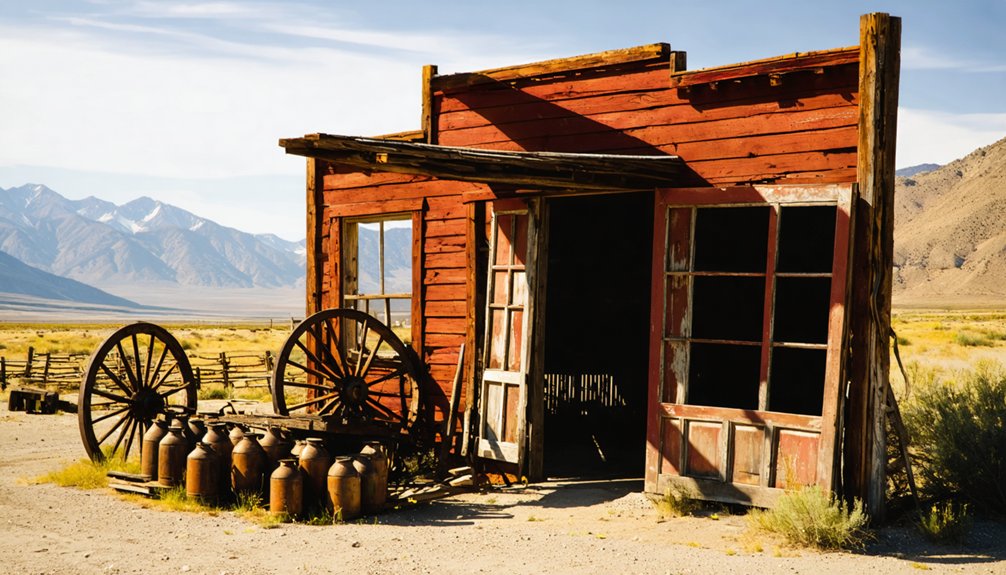
Chinquapin emerged during California’s Gold Rush as a small mining settlement near the Mother Lode belt. You’ll find it evolved from simple gold panning operations to a town with businesses and stage lines by the 1860s. Chinese miners formed a significant but marginalized community on its outskirts. The town declined when gold deposits were exhausted in the late 1800s, with residents abandoning it for better opportunities. Today, nature has reclaimed most traces of this enigmatic ghost town‘s existence.
Key Takeaways
- Chinquapin formed during the California Gold Rush, transitioning from a mining camp to a town before declining as gold deposits were depleted.
- The settlement’s economic foundation remains disputed among historians as either a speculative mining venture or a transportation hub.
- Chinese miners contributed significantly despite marginalization, living on town outskirts while maintaining cultural practices through imported goods.
- Unlike other ghost towns, Chinquapin lacks historical documentation such as census data, tax records, or mentions in newspapers.
- Natural reclamation has overtaken the abandoned site, with oak woodlands and vegetation obscuring former mining artifacts and structures.
The Lost Settlement: Origins in Sierra’s Golden Era
As the California Gold Rush swept through the Sierra Nevada in the aftermath of James Marshall’s 1848 discovery, Chinquapin emerged as one of countless settlements dotting the gold-rich foothills.
You’d have found it positioned strategically near abundant placer deposits within the famed Mother Lode belt, where gold-bearing gravels attracted thousands seeking fortune.
The Chinquapin settlement history parallels many Sierra boomtowns that sprang up virtually overnight. Miners first arrived with simple pans, soon progressing to cradles and sluices as they extracted gold from stream beds. Like many mining communities, Chinquapin’s miners faced diminishing returns as the easily accessible deposits were exhausted. By 1853, operations likely evolved to include hydraulic mining techniques, which used high-pressure hoses to blast away hillsides.
The gold rush impact extended beyond mining, as businesses rapidly developed to serve the growing population. Saloons, supply stores, and lodging establishments transformed Chinquapin from a mere mining camp into a proper settlement, though its existence remained tied directly to the accessibility and yield of surrounding gold deposits.
Tracing Chinquapin’s Vanished Community
Though the physical structures of Chinquapin have long disappeared, the town’s most overlooked story involves its Chinese community, who formed an essential yet marginalized segment of the population. You won’t find their names in official records, but these miners worked claims others abandoned, living in makeshift dwellings on the settlement’s outskirts. Similar to the fate of Calico, which was abandoned by 1907 due to economic factors, Chinquapin experienced a rapid boom and bust cycle. The Chinese miners likely faced similar discrimination as those in Tuolumne County, where harassment forced immigrants to establish separate settlements.
- Chinese Community members maintained cultural practices through imported goods, traditional medicines, and occasional festivals despite their isolation.
- Social structures centered around regional associations, providing mutual support in a hostile environment.
- As mining declined in the 1870s, these workers dispersed to railroad jobs, agriculture, or returned to China.
Unlike larger settlements, Chinquapin preserved no temples or distinct Chinese infrastructure, leaving their contributions largely erased from the historical narrative—another California ghost story waiting to be properly told.
Economic Mysteries of a Forgotten Outpost
You’ll find competing theories about Chinquapin’s economic foundation, with some historians arguing it flourished primarily as a speculative mining settlement while others maintain it served as a critical transportation hub connecting Sierra foothill communities.
The transportation hub theory gains credibility from surviving maps showing converging trade routes and accounts of stage lines operating through the settlement during the 1860s. Similar to how store owners in Chinese communities served as employment agents managing wages and work schedules, Chinquapin’s station masters coordinated labor needs throughout the region. Much like Bodie, California, which experienced a rapid population decline due to depleted mineral wealth, Chinquapin’s prosperity was tied closely to extractable resources that eventually dwindled.
Mining speculation evidence remains compelling too, with recovered documents revealing significant investment in claims that ultimately yielded disappointing returns, possibly explaining the town’s relatively quick abandonment.
Mining Speculation Persists
Despite nearly two centuries having passed since its heyday, Chinquapin’s mining potential remains the subject of persistent speculation among historians and treasure-seekers alike.
Like many Sierra foothill settlements, this former placer-mining center’s true economic impact remains shrouded in mystery. Chinese miners, who often reworked abandoned claims using specialized mining techniques, may have extracted significant wealth that went unrecorded. Similar to the short-lived camps that emerged throughout California during the Gold Rush, Chinquapin’s prosperity was likely fleeting.
The geological characteristics mirror those of nearby boom-and-bust towns where:
- Patchy mineral deposits created unpredictable yields
- Primitive extraction technology left potentially valuable resources untapped
- Complex mineral redistribution through erosion concealed deposits
You’ll find the limited artifacts and deteriorating structures make it impossible to determine conclusively whether Chinquapin’s miners struck it rich or whether substantial gold remains hidden beneath the soil, waiting for rediscovery with modern methods. This uncertainty echoes the experience of Bodie, where a major cave-in in 1876 suddenly exposed a significant gold vein and transformed the town’s fortunes overnight.
Transportation Hub Theory
Recent archaeological and historical evidence suggests Chinquapin served as an important transportation hub connecting the Sierra Nevada‘s resource-rich regions during the late 19th century. Its strategic position along the historic Wawona Road created a significant junction linking Yosemite Valley with southern access points.
When you examine Chinquapin’s infrastructure, you’ll find early streetlights, fire hydrants, and designated parking areas that reveal its planned transportation utility. This evolution from simple trail junction to automobile-era hub demonstrates the community’s adaptability. Similar to the Tahoe Tavern that offered a trophy in 1911 for the first car to reach it, Chinquapin embraced automotive transportation as a catalyst for growth.
The transportation network facilitated essential economic activities: timber shipments supporting Nevada’s mining operations, seasonal worker movement, and eventually, tourism flows. The Great Depression era brought CCC workers who significantly improved the roads and trails connecting Chinquapin to other areas in Yosemite.
Chinquapin’s regional connectivity transformed the area’s economic focus from resource extraction to service industries, even as it navigated the challenges of maintaining year-round mountain transport routes.
The Silent Abandonment: Why Chinquapin Disappeared
As gold began to disappear from the streams and hills surrounding Chinquapin in the late 1800s, the town’s fate was effectively sealed.
Poor resource management left the community with no alternative industries when mining became unprofitable. Without economic opportunities, residents steadily departed for more promising locations.
- The exodus accelerated after 1900, leaving too few people to maintain community resilience.
- Harsh terrain and isolation prevented agricultural development or easy access to markets.
- Deteriorating roads and seasonal weather patterns cut the town off for months at a time.
What Remains: Physical Traces in the Sierra Landscape
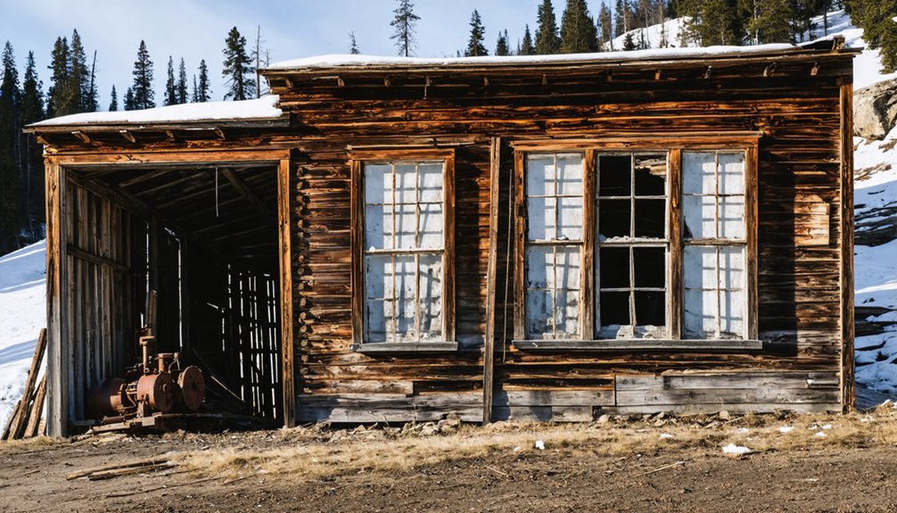
While today’s visitors to Chinquapin might expect to find complete structures standing as evidence to the once-thriving mining community, the physical traces that remain tell a more nuanced story of natural reclamation and human abandonment.
You’ll find mostly partial foundations, isolated chimneys, and occasional stone or brick structural remnants where wooden buildings once stood. These fragile ruins are often fenced to prevent looting.
As you explore, you’ll notice how the Sierra Nevada ecosystem has reclaimed the townsite—oak woodlands and native vegetation now intertwine with mining artifacts and foundations.
Look carefully for subtle clues: faint roadbeds, modified creeks, mine shafts, and tailings that mark the landscape.
Interpretive signs or historical markers may help you visualize Chinquapin’s former layout amid the environmental reclamation that has quietly transformed this once-bustling settlement.
Forgotten Footprints: Chinquapin’s Absence From Historical Record
Unlike many Gold Rush settlements that left clear imprints in California’s historical record, Chinquapin exists largely as a cartographic curiosity rather than a documented community.
When you search traditional historical archives, you’ll find a conspicuous absence of Chinquapin in primary sources that typically establish historical significance:
- No census data, tax records, or voter registries identify any residents
- Absent from newspapers, government documentation, or business ledgers of the era
- Never developed the institutional markers of settlement like post offices or schools
This documentary void challenges modern efforts to reconstruct Chinquapin’s story.
Without these anchors for cultural memory, the settlement remains an enigma—unnamed in Gold Rush literature and overlooked by preservation initiatives that focus on more prominent ghost towns.
Frequently Asked Questions
Were Any Famous Historical Figures Associated With Chinquapin?
No famous residents are associated with Chinquapin based on historical records. You won’t find evidence linking any notable figures to this settlement or its historical events.
Is There a Cemetery or Burial Ground Near Chinquapin?
While 85% of California ghost towns retain visible burial sites, no documented cemetery exists at Chinquapin. You’ll find burial practices of nearby mining settlements reflect cemetery significance through weathered markers and rock-covered graves.
How Did Chinquapin Get Its Unusual Name?
Chinquapin got its name from the Sierra Chinquapin bush (Chrysolepis sempervirens) native to the area. You’ll notice this spiny-seeded plant throughout the region, giving this settlement its distinctive botanical origins.
Are There Any Photographs of Chinquapin During Its Existence?
Precious photographs portraying Chinquapin don’t appear to exist publicly. You’ll find no documented historical images of this ghost town, despite its historical significance in California’s mining era.
Can Visitors Legally Explore the Former Chinquapin Site Today?
Yes, you can legally explore Chinquapin within Yosemite National Park. Follow visitor guidelines by staying on existing paths, not removing artifacts, and obtaining wilderness permits for overnight stays.
References
- https://www.travelmag.co.uk/2008/01/a-chinese-ghost-in-california/
- https://www.youtube.com/watch?v=OD9M6MP6RRU
- https://thefootloosescribbler.com/2021/04/30/missing-in-action-chinese-camp-a-california-ghost-town/
- https://www.camp-california.com/california-ghost-towns/
- https://sfghosts.com/china-camp-state-park/
- https://www.youtube.com/watch?v=OsTV0s5Du5A
- https://en.wikipedia.org/wiki/List_of_ghost_towns_in_California
- https://en.wikipedia.org/wiki/Chinquapin
- https://go.gale.com/ps/i.do?id=GALE|A293544442&sid=googleScholar&v=2.1&it=r&linkaccess=abs&issn=1083074X&p=AONE&sw=w
- https://www.britannica.com/topic/California-Gold-Rush


