Today you’ll find only scattered ruins where Chulafinnee once thrived as one of Alabama’s most productive gold mining settlements. In the 1830s, over 600 miners worked these placers along Carr and Chulafinnee Creeks, using picks, pans, and sluice boxes to extract gold worth millions. While the California Gold Rush of 1849 led to the town’s abandonment, you can still explore original mining shafts, Civil War-era foundations, and brick remnants that tell of this forgotten frontier boom.
Key Takeaways
- Chulafinnee was a thriving gold mining settlement in Alabama’s Piedmont region, employing approximately 600 miners during its peak operations.
- Miners primarily worked placer deposits along Carr and Chulafinnee Creeks, using basic tools like picks, pans, and sluice boxes.
- Gold dust served as common currency in local stores, supporting a bustling frontier community with social halls and cooperative mining efforts.
- The California Gold Rush of 1849 triggered mass exodus from Chulafinnee, leading to rapid decline of mining operations and social infrastructure.
- Archaeological remnants include original mining shafts, Civil War-era structures, and abandoned brick buildings from the town’s prosperous period.
The Rise of Alabama’s Golden Frontier
While gold was first discovered in Alabama in 1830 by William Wyatt and Todd Robertson along a tributary of Chestnut Creek, the true mining boom didn’t begin until after the Creek Nation’s removal.
The gold discovery transformed Alabama’s Piedmont region, where rich deposits lay hidden within the Wedowee Schist and other metamorphic formations along the Appalachian range. The town of Goldville emerged as a thriving center with fourteen stores serving residents.
You’ll find the most compelling evidence of this transformation in the rapid rise of mining settlements like Chulafinnee and Arbacoochee, which employed about 600 men during peak operations.
These frontier towns sprang up as prospectors rushed to exploit the region’s mineral wealth through various mining techniques.
Life in a Boomtown: Daily Scenes From Chulafinnee
Once Chulafinnee emerged as a bustling gold camp in Alabama’s Piedmont region, daily life revolved around the rhythmic sounds of placer mining along Carr and Chulafinnee Creeks.
You’d find a diverse mix of fortune-seekers maneuvering through the economic challenges of frontier life, from securing mining supplies to trading precious metals at local merchants. The discovery of gold deposits in 1830 sparked a brief but intense rush of prospectors to the area. The town’s numerous brick buildings stood as testament to the community’s perceived permanence and prosperity.
The heart of Chulafinnee’s social fabric centered on three distinct aspects:
Life in Chulafinnee revolved around social halls, trading at general stores, and communal mining efforts along creek beds.
- Community gatherings at makeshift social halls, where miners shared stories and trading tips
- Daily trade at general stores, where gold dust served as common currency
- Cooperative mining ventures along creek beds, where teams worked together to maximize yields
Despite harsh conditions and limited amenities, you’d witness a remarkable spirit of resilience as residents built a temporary yet vibrant community in this remote corner of Alabama.
Mining Operations and Gold Rush Technology
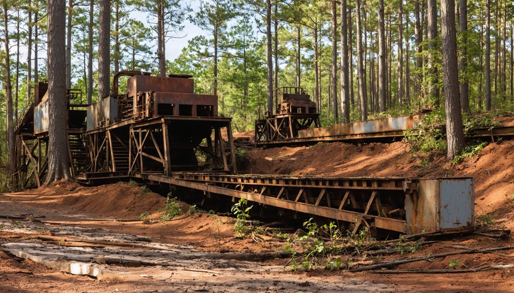
As miners flocked to Chulafinnee in 1835, they established diverse mining operations that ranged from simple placer mining along creek beds to more complex shaft excavations reaching 75 feet deep.
You’ll find evidence of their ingenuity in the remnants of timber-supported tunnels and the traces of sluice boxes they used for gold extraction.
At sites like the Striplin Mine, miners tackled both surface and underground deposits. Historical records show that over $5,000,000 worth of gold was produced during the mining boom. The area was part of Alabama’s southern Piedmont region, where most of the state’s gold deposits were concentrated.
They’d employ basic tools – picks, shovels, and pans – for placer mining, while tackling the harder work of extracting gold from quartz veins in deeper shafts.
The challenges of water management at these depths required innovative solutions, with miners developing manual and animal-powered systems to keep their tunnels workable.
Across Chulafinnee’s district, hundreds of operations transformed the landscape through these varying extraction methods.
From Prosperity to Ghost Town: The California Effect
The discovery of gold in California’s Sierra Nevada in 1849 dealt a devastating blow to Chulafinnee’s flourishing mining community.
When news of California’s massive gold deposits spread, local miners abandoned their claims, triggering an economic impact that would transform Chulafinnee into a ghost town.
The California Effect devastated the town in three major ways:
- Mass exodus of skilled miners crippled local mining operations
- Collapse of social structures including schools and post offices
- Rapid decline of supporting businesses and infrastructure
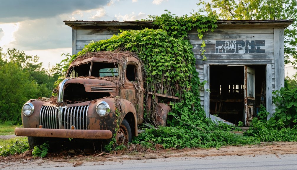
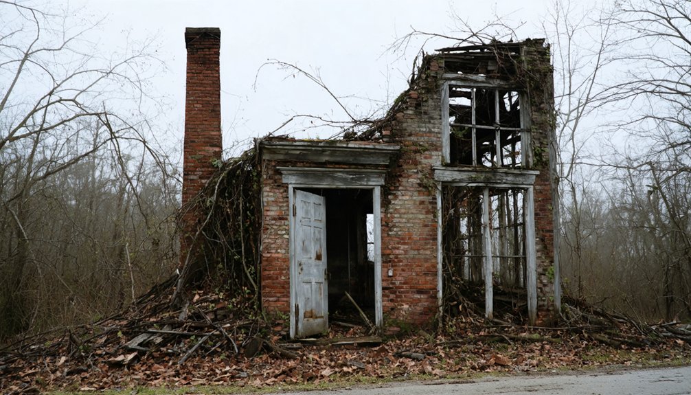
You can still see evidence of this transformation today in Chulafinnee’s abandoned brick buildings, which stand as silent witnesses to the town’s former prosperity.
Located 12 miles south of Heflin, Chulafinnee was known for its distinctive brick architecture that set it apart from other mining settlements of the era.
While California’s gold fields created lasting wealth, they simultaneously drained the lifeblood from smaller mining communities like Chulafinnee, leading to their eventual abandonment.
Preserving the Legacy: Archaeological Remnants Today
While modern archaeologists have yet to fully explore Chulafinnee’s rich historical sites, significant physical evidence of Alabama’s gold rush era remains preserved throughout the area.
You’ll find original gold mining shafts from 1837, complete with visible timbers that showcase early mining techniques. Civil War-era home remnants and sturdy brick buildings from the boom period still dot the landscape.
The archaeological significance of these sites can’t be overstated – they represent Alabama’s earliest mining efforts following the Creek Nation’s removal.
Despite preservation challenges, including some sites now submerged under Martin Lake, the district maintains its historic character. OpenStreetMap data helps researchers accurately document remaining site locations.
The Cleburne County district yielded an impressive 30,000 ounces of gold during its peak operations.
The Striplin Mine’s horizontal excavations, native gold specimens, and mining debris offer valuable research opportunities into the methods and materials of this pivotal period in Alabama’s history.
Frequently Asked Questions
Is It Legal to Search for Gold in Chulafinnee Today?
You’ll need proper permits and landowner permissions to legally prospect for gold in this area, as modern regulations have replaced historical mining practices. Check with local authorities before starting.
Are There Any Dangerous Mine Shafts Visitors Should Avoid?
Millions of hidden shafts could swallow you whole! For mine safety, you’ll want to avoid all excavation sites and potential shafts. Take visitor precautions – don’t venture into any depressions or holes.
What Native American Tribes Originally Inhabited the Chulafinnee Area?
You’ll find the Creek (Muscogee) Indians were the primary inhabitants, with their central village of Hillabee nearby. The Yuchi also lived in this region before moving westward by 1760.
How Much Gold Was Extracted From Chulafinnee During Its Peak?
You’ll find no exact records of Chulafinnee’s gold mining totals, though historical significance suggests modest yields, with miners averaging about 75 cents worth per day during peak operations.
Does Anyone Maintain or Own the Ghost Town Property Now?
You’ll find limited property ownership info, though the Boy Scouts maintain some mining remains at Frank Spain Scout Reservation. Most of the ghost town lacks formal maintenance and likely sits on privately-held land parcels.
References
- https://digitalalabama.com/alabama-ghost-towns/chulafinnee-alabama-ghost-town/8776
- https://ahc.alabama.gov/Alabama Register Properties/Cleburne County/AL.CleburneCo.StriplinGoldMinesOCR.pdf
- https://freepages.history.rootsweb.com/~gtusa/usa/al.htm
- https://digitalalabama.com/alabama-ghost-towns/alabama-ghost-towns/9449
- https://en.wikipedia.org/wiki/List_of_ghost_towns_in_Alabama
- https://sites.rootsweb.com/~alghstwn/cleburne.html
- https://www.treasurenet.com/threads/arbacoochee-and-chulafinnee-ghost-towns.64798/
- https://southernpiedmontmaterials.org/economic-assessment/alabama-gold-history/
- https://encyclopediaofalabama.org/article/gold-production-in-alabama/
- https://www.mininghistoryassociation.org/Meetings/Birmingham2022/Gold in Alabama by Fred Barnard mod LK21.pdf


