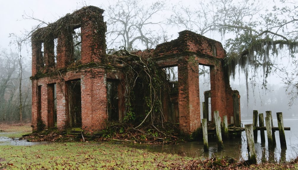
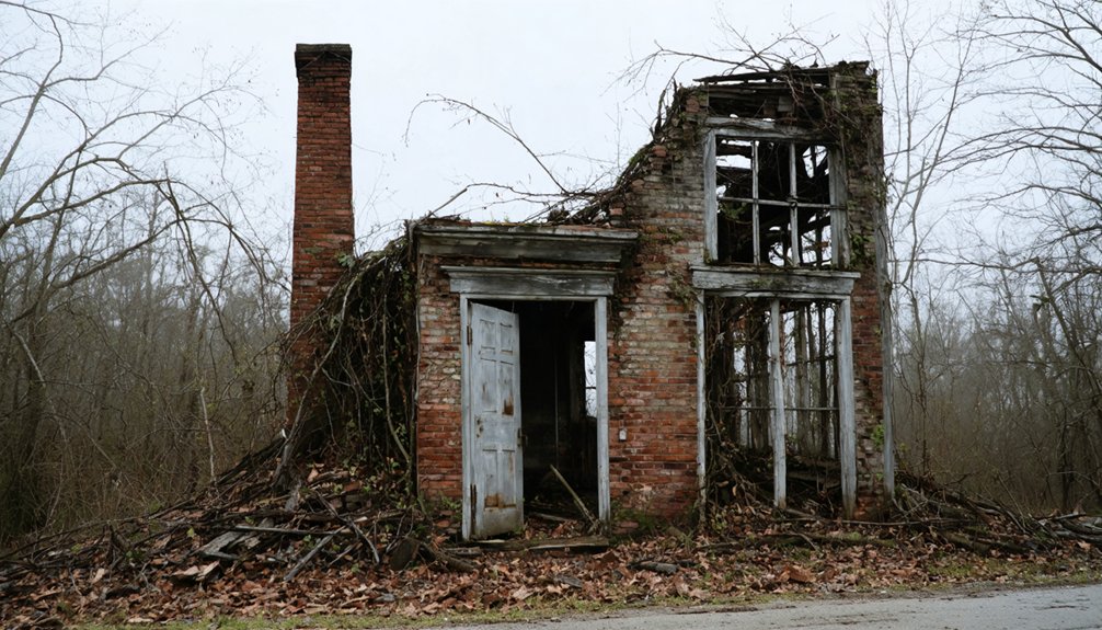
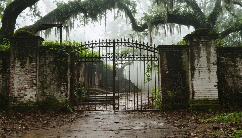
You’ll find Claiborne’s haunting remains along the Alabama River, where this once-prosperous river port thrived from 1813 to the 1860s. As Monroe County’s first seat, it boasted nearly 6,000 residents, bustling cotton trade, and daily steamboat traffic. Disease outbreaks, Civil War damage, and changing transportation routes led to its abandonment. Today, only the Masonic Lodge, Dellet House, and historic Jewish cemetery stand as silent witnesses to its former glory. The town’s fascinating story of rise and fall holds deeper secrets.
Key Takeaways
- Claiborne declined from a thriving river town of 6,000 people to a ghost town after yellow fever outbreaks and Civil War devastation.
- Federal troops’ occupation during the Civil War led to widespread looting and destruction, accelerating the town’s abandonment.
- The town’s economic collapse followed shifting transportation routes and the decline of river-based cotton trade in the post-war era.
- Most original structures have disappeared, though the James Dellet House and historic Jewish cemetery remain as remnants of Claiborne’s past.
- The once-prosperous Alabama River port city now exists primarily as archaeological ruins and preserved historical landmarks.
The Rise of a Frontier Port Town
As Fort Claiborne emerged from the Creek War in 1813, the strategic settlement along the Alabama River quickly transformed into one of the territory’s most essential frontier ports.
You’ll find the seeds of frontier expansion took root here, where the Old Federal Road met the river’s edge, creating a perfect hub for settlers and traders.
By 1820, Claiborne’s population had swelled to nearly 6,000 residents, driven by agricultural innovation in cotton, wheat, corn, and rice production. Being near Cahawba, the state capital from 1820 to 1825 enhanced the town’s regional significance.
The town’s bustling river landing welcomed daily steamboat traffic, while surrounding cotton gins processed the region’s valuable exports. The arrival of the first paddle steamer in 1821 marked a new era of river commerce and trade.
As Monroe County’s seat from 1819 to 1832, you’d have witnessed a thriving commercial center where merchants, farmers, and immigrants built a prosperous community at the gateway to Alabama’s promising interior.
Strategic Military Significance
If you’d visited Claiborne in 1813, you would’ve found Fort Claiborne strategically positioned to defend settlers from Creek Indian attacks while controlling essential transportation routes along the Alabama River and Old Federal Road.
The fort served as General Ferdinand Claiborne’s command center during the Creek War, coordinating military operations with nearby fortifications and dispatching troops to protect the Mississippi Territory’s frontier. The fort became a crucial supply depot where Claiborne stored provisions and materials for his campaigns against the Creek Nation.
Years later during the Civil War, military engineers constructed defensive batteries around Claiborne to protect these same strategic river and transportation corridors. The site’s military importance was enhanced by its position as a major shipping point for Monroe County’s commerce and trade.
Fort’s Defensive Position
Located at the strategic confluence of the Alabama and Tombigbee Rivers, Fort Claiborne commanded an essential military position that proved important during the Creek War.
Similar to how Union forces seized military installations across Alabama in 1861, the fort’s defensive architecture took full advantage of the elevated terrain, allowing sentries to spot approaching threats while the stockades and blockhouses provided formidable protection against attacks.
The fort’s military strategy capitalized on its proximity to other defensive outposts like Fort Stoddert and Fort St. Stephens, creating an interconnected network that secured the Mobile region.
You can appreciate how this positioning enabled rapid deployment of troops and supplies via the rivers, while maintaining clear supply lines for sustained campaigns.
General Claiborne used the fort as a base to launch attacks that destroyed 260 Creek houses at the Holy Ground.
The location also served as an ideal staging point for operations into Red Stick Creek territory, allowing forces to project power and gather intelligence effectively.
Civil War Fortifications
The strategic importance of Claiborne took on new meaning during the Civil War, when Confederate forces established defensive batteries along the Alabama River‘s significant bends. Military strategy focused on controlling this vital waterway to protect supply lines and monitor Union gunboat movements.
Drawing from its history as Fort Claiborne’s location, Weatherford’s Bluff provided an ideal elevated position for Confederate defenses. The area saw extensive military development similar to Fort Stonewall‘s heavy-gun river defenses positioned along the Alabama River.
- Artillery positions were engineered into existing bluffs and riverbanks, maximizing defensive coverage.
- Earthen embankments and fortifications were rapidly constructed to guard vulnerable river approaches.
- Local militia worked alongside Confederate troops to maintain these strategic defensive positions.
You’ll find that defensive engineering played an essential role in Claiborne’s wartime transformation. The batteries weren’t just simple gun emplacements – they were part of a sophisticated system designed to protect commercial shipping, military supplies, and the movement of cotton along this critical Confederate supply route.
Economic Glory Days
During its antebellum peak between the 1820s and 1850s, Claiborne emerged as one of Alabama’s most prosperous river ports, boasting a population of nearly 6,000 residents.
The town’s economic sustainability thrived through its strategic position on the Alabama River and Old Federal Road, where daily steamboats transported cotton, wheat, corn, and rice to distant markets.
Much like the historical novel “Dolores Claiborne” which depicted a remote coastal town’s transformation, Claiborne’s evolution from a modest settlement to a thriving port city demonstrated remarkable growth.
You’d have found a bustling community resilience evidenced by cotton gins, merchant stores, and establishments like Shearley’s Tavern serving countless travelers.
The town’s commercial vibrancy attracted diverse entrepreneurs, including Jewish merchants who arrived in the 1840s to establish successful trading operations.
Claiborne’s prominence was further reflected in its own newspaper, the Alabama Courier, which chronicled the town’s dynamic business activities and social life throughout the prosperous decades.
The town was particularly known for its cotton gins which surrounded the prosperous community during its heyday.
Political Power and Influence
As a foundation for regional authority, Fort Claiborne emerged in 1813 under Gen. Ferdinand Leigh Claiborne, establishing a powerful political legacy that would shape Alabama’s early statehood.
When Monroe County formed in 1819, Claiborne’s designation as county seat cemented its role as a pivotal center of governance.
- Three future Alabama governors – John Gayle, John Murphy, and Arthur Bagby – launched their careers in Claiborne’s bustling legal offices.
- The town’s robust legal infrastructure, anchored by its courthouse and Alabama Courier newspaper, created a dynamic hub for political discourse.
- Strategic positioning along the Federal Road, combined with gathering spots like Shearley’s Tavern, made Claiborne a natural nexus for regional leadership.
You’ll find Claiborne’s political influence peaked during its county seat years (1819-1832), hosting notable events including General Lafayette’s celebrated 1825 courthouse address.
Life Along the Alabama River
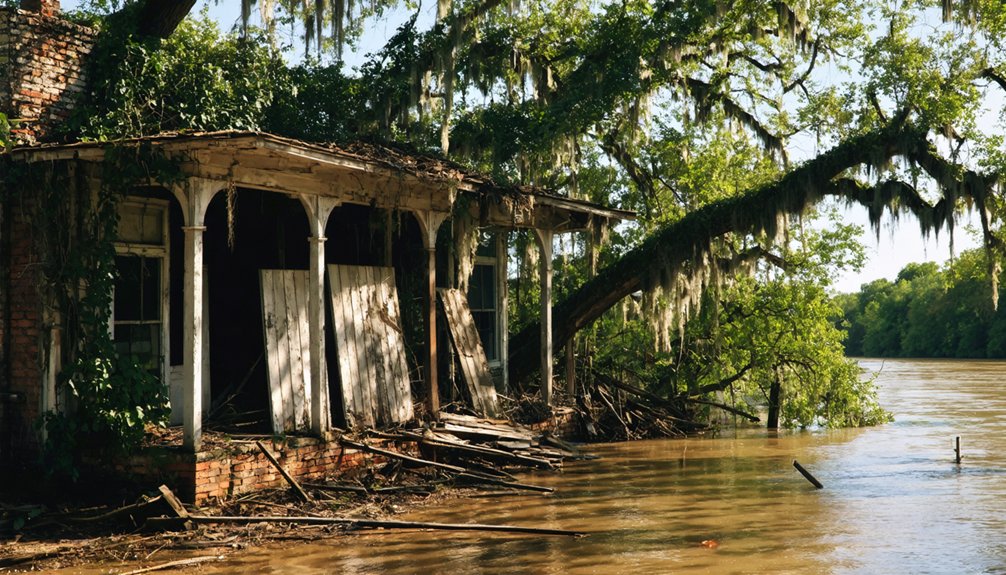
You’d find the Alabama River bustling with activity during the 1830s-1850s, as steamboats regularly docked at Claiborne’s waterfront to load cotton bales and unload manufactured goods from Mobile.
The steady traffic of steamboats and flatboats turned Claiborne’s riverfront into a commercial hub, where merchants and planters conducted business deals while workers loaded cargo onto waiting vessels.
Beyond commerce, the riverfront served as a social gathering place where you’d see residents enjoying picnics, watching boat races, and attending community events during the pleasant weather months.
River Trade’s Golden Age
Life along the Alabama River reached its economic zenith in the 19th century when cotton reigned supreme. You’d find nearly 500 cotton landings dotting the Alabama and Tombigbee Rivers, where steamboats would dock to load their precious cargo.
Cotton production dominated the landscape, with warehouses strategically positioned atop high river bluffs.
- Steamboats could make the journey from Mobile to Montgomery in just 10 days, revolutionizing river navigation and trade
- Cotton slides facilitated the movement of bales from bluff-top warehouses to waiting boats below, where “rolladores” and stevedores managed the cargo
- River towns like Montgomery and Geneva flourished as crucial trading hubs, developing ancillary industries to support the bustling cotton economy
These waterways became the lifelines of commerce, transforming simple landings into thriving communities that shaped Alabama’s economic future.
Steamboat Traffic and Commerce
If you’d traveled from Mobile to Montgomery in the 1820s, you’d spend about 10 days aboard these vessels.
Despite the risks of boiler explosions and navigational hazards, steamboats remained the lifeline of Alabama’s commerce for decades, transporting agricultural products, lumber, and manufactured goods until railroads eventually offered faster alternatives.
Riverfront Social Activities
Along the Alabama River’s banks in Claiborne, social life flourished through vibrant community gatherings and seasonal celebrations.
You’d find the riverfront bustling with locals enjoying riverfront festivals that showcased regional music, crafts, and local delicacies. The natural setting provided a perfect backdrop for communal gatherings where stories, traditions, and cultural heritage were shared.
- Seasonal market days brought traders and craftsmen together, creating opportunities for both commerce and socializing.
- Informal picnics, dances, and storytelling sessions strengthened community bonds along the scenic riverbanks.
- Water-based activities like fishing, boating, and swimming created year-round recreation for residents.
The river wasn’t just a waterway – it was the heart of Claiborne’s social fabric, where celebrations and daily life intertwined to create lasting community connections.
Disease, War, and Decline
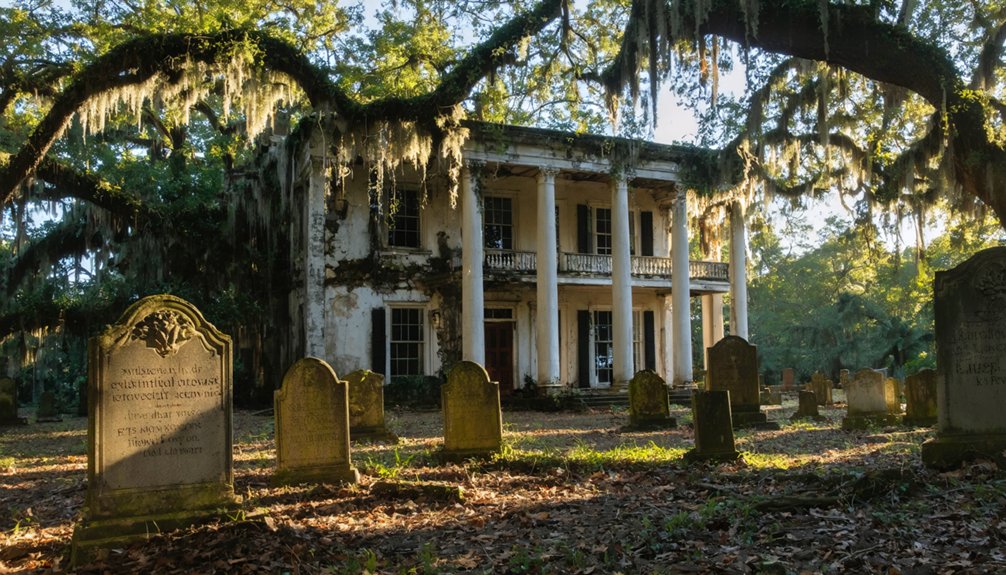
While Claiborne began as a thriving river port, a series of devastating setbacks in the mid-to-late 1800s triggered its eventual downfall.
You’d have witnessed the town’s struggle with recurring yellow fever outbreaks and cholera epidemics, which hit the community hard. Without adequate healthcare challenges to combat these diseases, the population decline was swift and merciless as residents fled to safer locations.
The Civil War dealt another crushing blow when Federal troops occupied the town, followed by widespread looting that left Claiborne in ruins.
Architectural Legacy and Historic Sites
Though most of Claiborne’s original structures have vanished, several significant buildings stand as evidence to the town’s architectural heritage from the early 1800s.
You’ll find architectural styles ranging from simple wooden frame cottages to grand plantation homes, with the William B. Travis House and James Dellet House showcasing classic antebellum design.
- The original Fort Claiborne site featured frontier military architecture, including a 200-square-foot stockade with three blockhouses.
- The Claiborne Masonic Lodge #3, built in 1824, represents the formal institutional architecture of early Alabama.
- Civil War battery fortifications along the Alabama River demonstrate 19th-century military engineering.
Modern preservation techniques have helped save key structures, with some buildings relocated to nearby Perdue Hill.
You can still explore three historic cemeteries and various marked sites that tell Claiborne’s story.
Jewish Heritage and Cultural Impact
Jewish settlers first arrived in Claiborne during the early 1840s, establishing themselves as enterprising peddlers and merchants in the bustling river town.
You’ll find evidence of their lasting impact in the Jewish cemetery, established in 1843, which stands as one of the earliest tangible markers of their presence.
While the Jewish community in Claiborne remained relatively small, they played a crucial role in the town’s economic development through trade and commerce.
Their presence fostered cultural exchange between Jewish and non-Jewish residents, enriching the social fabric of antebellum Alabama.
Though a brief attempt was made to establish a congregation by 1855, the community gradually declined.
The last burial in the Jewish cemetery took place in 1899, and despite facing vandalism in 1967, recent preservation efforts help maintain this important piece of Claiborne’s heritage.
Modern Preservation Efforts
Today’s preservation work in Claiborne centers on three key historical remnants: the James Dellet House and two centuries-old cemeteries, including the restored Jewish burial ground.
You’ll find community engagement has been essential in maintaining these historic sites, particularly through volunteer-led restoration efforts at the Jewish Cemetery.
- A state historical marker on Highway 84 marks the ghost town’s location, though interpretation remains limited.
- Local volunteers actively clear vegetation, repair markers, and document inscriptions at the cemeteries.
- The University of South Alabama’s McCall Archives helps preserve the site’s history through documentation.
Despite these efforts, preservation challenges persist.
There’s no thorough archaeological survey on record, and the site lacks major state or federal funding support.
The town’s remaining structures could qualify for the National Register of Historic Places, though no nomination process is currently underway.
Frequently Asked Questions
Are There Any Reported Ghost Sightings or Paranormal Activity in Claiborne?
Despite its abandoned structures and historic cemeteries, you won’t find documented ghost legends or paranormal investigations in this location. Historical records show no credible reports of supernatural activity.
What Happened to the Original Residents’ Descendants After the Town’s Abandonment?
Blood runs thicker than water, and you’ll find descendant stories reveal families moved to Monroeville and nearby towns, while maintaining family legacies through preservation efforts, cultural events, and Monroe County Heritage Museums.
Can Visitors Legally Explore the Site Without Joining an Official Tour?
You can explore accessible parts of the site independently, as there aren’t specific legal regulations preventing visits. However, you’ll need to respect private property boundaries and basic visitor guidelines.
Are There Any Remaining Artifacts From Claiborne’s Heyday in Local Museums?
You’ll find limited museum collections of Claiborne artifacts. While the Monroe County Heritage Museums host regional exhibits, they don’t display significant discoveries from Claiborne’s peak period. Most items remain privately owned.
What Natural Disasters, if Any, Contributed to Claiborne’s Decline?
You won’t find natural disasters as a significant factor in the town’s decline – historical records don’t show any major floods, hurricanes or earthquakes that damaged Claiborne during its abandonment period.
References
- https://theweek.com/articles/515196/getting-flavor–alabama-ghost-town-more
- https://alabamaliving.coop/articles/old-claiborne-pilgrimage-offers-history-lesson-on-southwest-alabama/
- https://www.isjl.org/alabama-claiborne-encyclopedia.html
- https://encyclopediaofalabama.org/article/claiborne/
- https://en.wikipedia.org/wiki/Fort_Claiborne
- https://en.wikipedia.org/wiki/Claiborne
- https://digitalalabama.com/alabama-ghost-towns/alabama-ghost-towns/9449
- https://www.ruralswalabama.org/attraction/claiborne-alabama-a-lost-city-in-southwest-alabama/
- https://www.tricityledger.com/story/2018/09/20/lifestyles/the-rise-and-fall-of-claiborne-ala/1536.html
- https://www.montgomeryadvertiser.com/story/news/2018/10/01/tour-through-history-old-claiborne-pilgrimage/1489234002/
