You’ll find Claylick along Ohio’s river floodplain, where it emerged as a utopian settlement in the mid-1800s. The community thrived around its creek-powered mill and general store until devastating floods struck in 1913, 1919, and 1937. The construction of Wills Creek Dam in 1935 sealed the town’s fate. Today, only weathered gravestones and hidden foundation stones tell the story of this once-idealistic riverside settlement. Its transformation from utopian dream to ghost town holds many surprising turns.
Key Takeaways
- Claylick was a mid-19th century utopian settlement in Ohio that emphasized cooperative living and self-sufficiency along the river floodplain.
- The town’s economy centered around a water-powered mill on Clay Lick Creek, which processed grain for local farmers.
- Major floods in 1919 and 1959 devastated the town’s infrastructure, marking critical points in Claylick’s decline toward abandonment.
- The construction of the Wills Creek Dam in 1935 and subsequent water management projects permanently altered Claylick’s landscape.
- Today, only foundation remnants, weathered gravestones, and overgrown paths remain as evidence of the former settlement.
Early Settlement and Origins
While Native American tribes like the Ottawa, Huron, and Delaware originally inhabited the region, Claylick emerged in the mid-19th century as an ambitious utopian settlement along Ohio’s river floodplain.
You’ll find its roots in the post-Northwest Territory era, when European Americans sought to establish an ideal society free from the constraints of greed and inequality. The town’s founders laid out their settlement in a precise grid pattern, reflecting their communal aspirations for shared ownership and social harmony. Like the historic Whitewater Shaker Village, the community emphasized cooperative living and self-sufficiency. The settlers faced immense challenges cultivating the rich clay soil left behind by ancient glaciers.
By 1847, spiritualist practices had taken hold, with residents conducting séances to communicate with the dead.
Despite these lofty goals, you’ll discover that Claylick’s early years were marked by the harsh realities of swampy terrain, flooding risks, and growing internal conflicts that would ultimately seal its fate.
Life in the Riverside Community
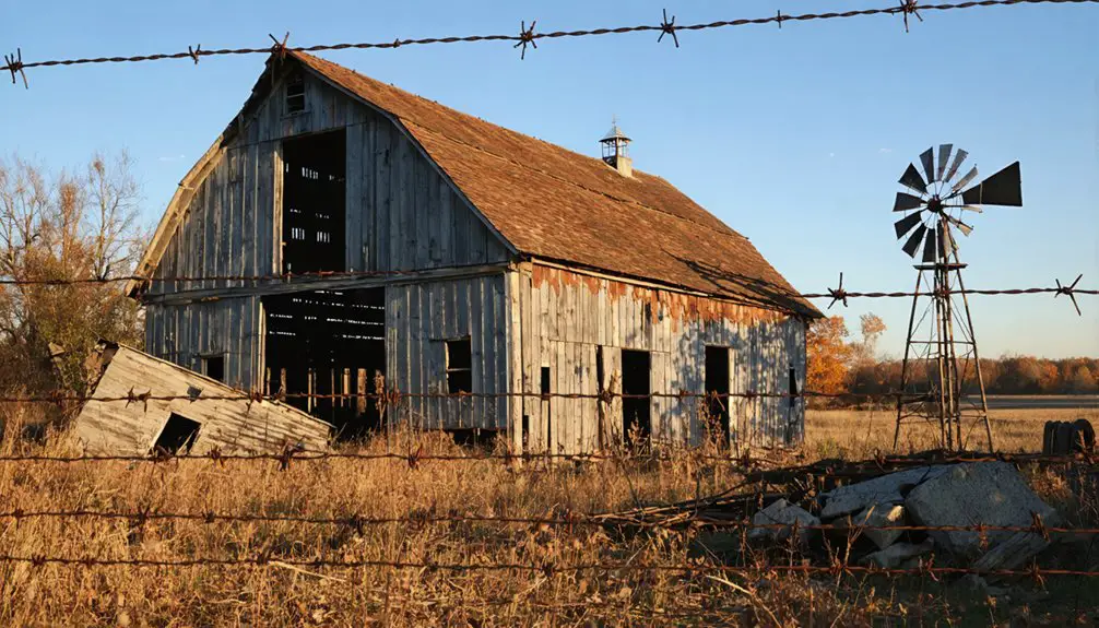
If you’d visited Claylick during its heyday, you’d have found daily life centered around the mill that processed local grain along Clay Lick Creek.
You could’ve purchased essential supplies at the general store, which served as both a trading post and social hub for the farming community.
The proximity to Clay Lick Creek made the settlement ideal for agricultural operations, with residents utilizing the water source for their crops and livestock while conducting business at these crucial establishments. Like the communities near Dry Lick Run, the creek played a vital role in sustaining local farming and commerce.
Mill and Store Operations
The economic heartbeat of Claylick centered around its waterside mill and general store, both crucial fixtures of the riverside community until devastating floods in 1919 and 1959.
You’d find the mill technology powered by Clay Lick Creek’s flowing waters, processing grain for local farmers who’d bring their harvests for grinding. The general store’s inventory stocked everything from crucial foodstuffs to farming supplies, serving as both a trading post and social hub. Much like the grist mill at Crabtrees, it became an essential part of the township’s early development.
These establishments weren’t just businesses – they were the threads that wove the community together. You’d catch up on local news at the store or swap stories while waiting for your grain at the mill. The town would later face complete removal for a dam project, permanently erasing these once-vital community gathering spots.
When floods ravaged these critical institutions, the town’s spirit washed away with them, marking the beginning of Claylick’s descent into abandonment.
Daily Life Along Creek
Life along Clay Lick Creek took shape in the early 1800s as free blacks and Quakers formed an integrated settlement roughly 20 miles north of the Ohio River.
You’d find residents gathering at the creek daily for essential tasks – collecting water, washing clothes, and tending to livestock. Local fishing practices provided a reliable food source, while the waterway enabled trade routes to nearby market towns. The creek’s rich bottomlands yielded abundant black loam soil ideal for farming.
The creek’s banks became natural meeting spots where you’d witness community gatherings, fostering strong social bonds between neighbors. By the mid-1800s, the thriving community had grown to include 200 black families.
Your daily routine would’ve followed the creek’s seasonal rhythms, timing your planting and harvesting accordingly.
While enjoying these freedoms, you’d maintain vigilance against slave hunters crossing the river, with the creek serving as both lifeline and potential escape route for those seeking liberty.
Natural Disasters Strike
Throughout its history, Claylick faced devastating natural disasters that repeatedly tested its resilience, with the Ohio River Flood of 1937 and Great Flood of 1913 standing as watershed moments for the region.
You’ll find that natural disaster preparedness became essential as the community adapted to these challenges, developing flood response strategies that would shape its future. The catastrophic flooding caused nearly 450 deaths across Ohio during the disaster.
- The 1937 flood brought 18 inches of rainfall in just 16 days, isolating rural areas as the Cache River reversed course. The flood reached catastrophic levels when the Ohio River crested at 79.9 feet on January 26.
- When the Great Flood of 1913 struck, it destroyed critical infrastructure including bridges and canal locks.
- Flash floods along Wegee and Pipe creeks devastated the area, destroying 80 homes.
- Modern stream gauging systems now help predict floods, though recurring severe weather continues to threaten the region’s stability.
The Dam Project’s Impact
When Ohio undertook major dam projects in the 1930s, Claylick’s fate became intertwined with the ambitious Muskingum Watershed Conservancy District plan of 1934.
You’ll find that dam construction, particularly projects like the Wills Creek Dam in 1935, forever changed the landscape of Ohio’s river valleys.
The $25 million bond issue of 1953 accelerated these changes, as flood control measures reshaped entire communities.
Massive engineering efforts, including dams reaching heights of 195 feet with sophisticated tainter gates, transformed the region’s hydrology.
The pattern followed projects like Mohicanville Dam, built in 1935 as a dry dam specifically for flood control.
You can imagine the impact when reservoirs began filling behind these structures – settlements like Claylick faced difficult choices.
The town’s location made it vulnerable to the new water management system, and like other communities in the flood plains, it couldn’t escape the consequences of progress.
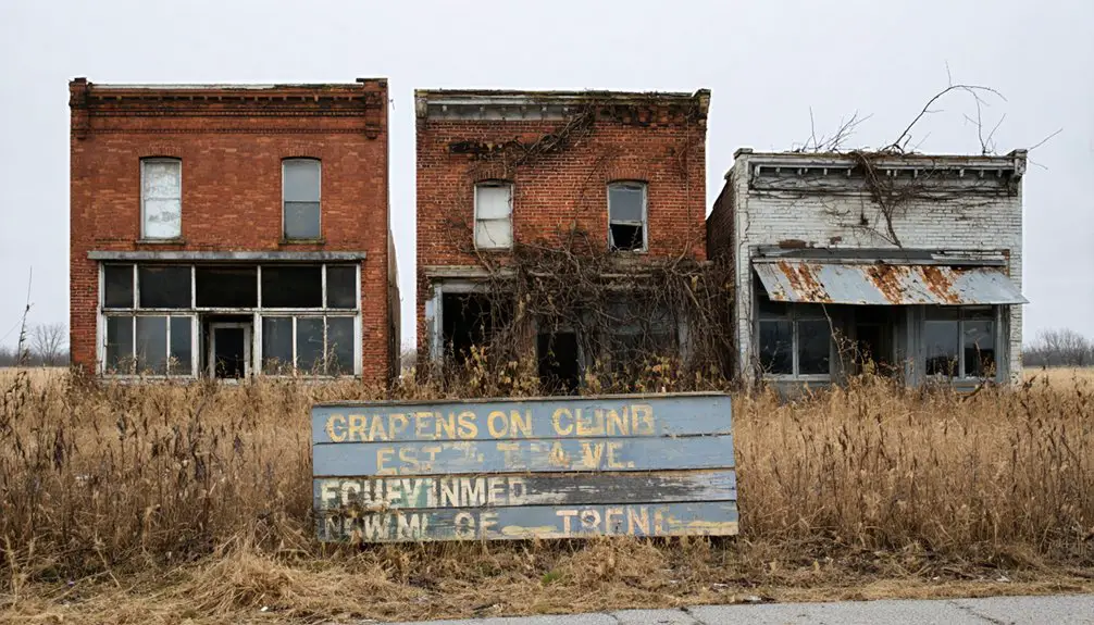
What Remains Today
If you visit Claylick’s former location today, you’ll find no physical remnants of the once-thriving community, as both floods and the subsequent dam project erased all traces of the town’s structures.
The site, now transformed by natural vegetation and river landscape changes, offers no visible foundations, ruins, or markers to designate where the original settlement stood.
The area remains largely unmarked and unrecognized, with the town’s story preserved mainly through historical records rather than physical landmarks.
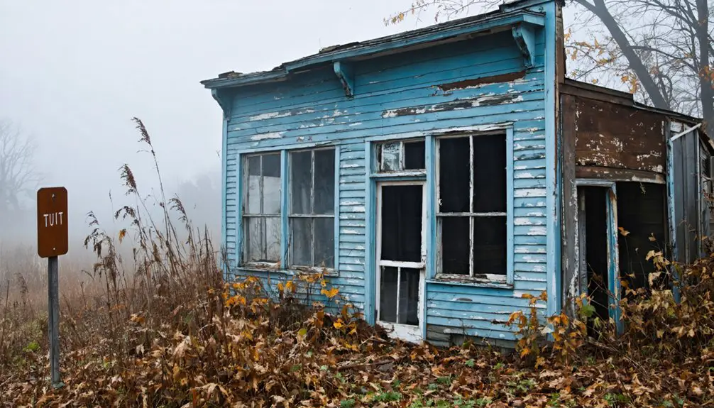
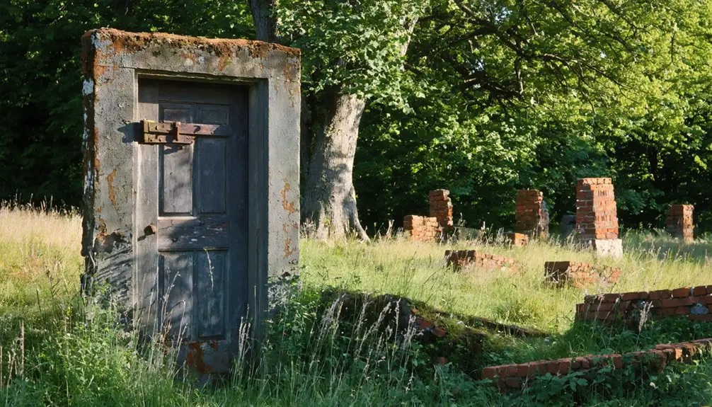
Physical Site Features
Despite decades of abandonment, several physical remnants of Claylick’s past still dot the Ohio landscape today.
You’ll find foundation remnants partially hidden beneath layers of soil and vegetation, while burial markers in the local cemetery provide tangible links to the town’s former inhabitants.
Along the riverbank, nature has steadily reclaimed much of the original settlement.
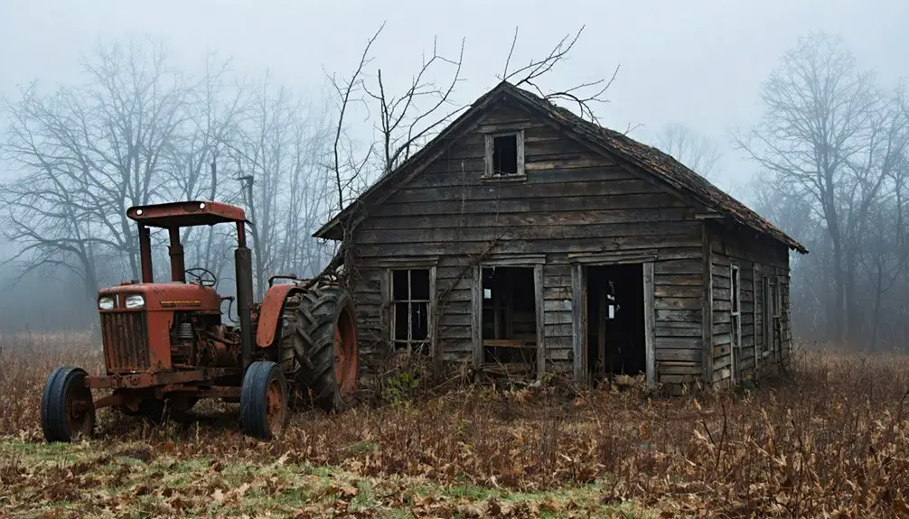
- Stone foundations of communal buildings remain visible near the river, though often obscured by dense brush.
- Cemetery grounds contain weathered gravestones that chronicle the area’s past residents.
- Faint traces of old roadbeds and paths wind through the overgrown terrain.
- Depressions in the earth mark where structures once stood, now barely discernible beneath decades of natural growth and erosion.
Historical Area Recognition
Today’s Claylick stands in stark contrast to the remnants described at the physical site. You won’t find any official state markers or dedicated memorials marking this vanished settlement, though local folklore keeps its memory alive.
The town’s recognition exists primarily through archival research and historical documentation. You’ll find Claylick listed in various ghost town compilations, with particular emphasis on the devastating floods of 1919 and 1959 that led to its demise.
While surrounding Licking County features several ghost towns, Claylick’s distinct story of flood destruction and subsequent dam project removal sets it apart. Unlike other abandoned Ohio settlements that maintain visible ruins, Claylick’s presence is preserved only in maps, historical accounts, and county records, serving as a reflection of nature’s power over human settlement.
the history of elk lick ghost town is similarly intertwined with the landscape, revealing how natural disasters have shaped human habitation over time. As the remnants of its past fade, stories of its once-thriving community linger in local folklore, highlighting the delicate balance between man and nature. Visitors to the area are often drawn to the mysteries that surround these ghost towns, eager to uncover the tales hidden within the echoes of history.
Historical Significance in Ohio
As a demonstration to Ohio’s complex relationship with water management, Claylick’s story illuminates the broader challenges faced by rural communities along the state’s waterways.
You’ll find that this ghost town serves as a compelling case study in flood management and community resilience, showcasing how natural forces can reshape Ohio’s rural landscape.
- The town’s struggle against flooding represents a pattern seen across Ohio’s river communities, where water management infrastructure often determined survival.
- Claylick’s transformation from settlement to abandonment mirrors many rural Ohio communities affected by environmental challenges.
- The decision to build a dam over the town site exemplifies Ohio’s shift toward engineered solutions.
- The complete removal of Claylick highlights how infrastructure projects permanently altered Ohio’s geography and settlement patterns.
Frequently Asked Questions
Were There Any Notable Crimes or Unsolved Mysteries in Claylick’s History?
You won’t find any mysterious disappearances or unsolved thefts documented in the historical records. The town’s story focuses entirely on two devastating floods in 1919 and 1959 that sealed its fate.
What Was the Peak Population of Claylick Before the Floods?
Picture a small bustling mill town where you’d find neighbors gathering at the general store. While exact records don’t exist, you’re looking at around 100-300 residents before population growth reversed into economic decline.
Did Any Famous Personalities or Historical Figures Visit Claylick?
You won’t find records of any famous visitors or historical figures in this town’s past. The area’s historical significance stems from its natural disasters rather than notable personalities.
What Native American Tribes Originally Inhabited the Claylick Area?
You’ll discover three major Native tribes shaped the cultural heritage of this land: the fierce Shawnee warriors, resourceful Delaware (Lenape) people, and the resilient Wyandotte, who all called this territory home.
How Did Property Values Change After the First Flood?
You’d have seen immediate flood impact devastate property values, with homes losing 20-30% of their worth. Flood insurance requirements and damaged structures accelerated the property decline throughout the area.
References
- https://www.youtube.com/watch?v=QWTtG6njIDs
- https://kids.kiddle.co/List_of_ghost_towns_in_Ohio
- https://ohioghosttowns.org/gallia-county/
- https://www.newspapers.com/article/36985819/ghost_towns_02/
- https://en.wikipedia.org/wiki/Claylick
- https://pauldingcountyghosttowns.wordpress.com
- https://ohioghosttowns.org/jackson-county/
- https://tatetownship.org/2023/04/23/ohioghosttowns-org-contains-tate-township-history/
- https://ohioghosttowns.org/licking-county/
- https://kids.kiddle.co/Claylick