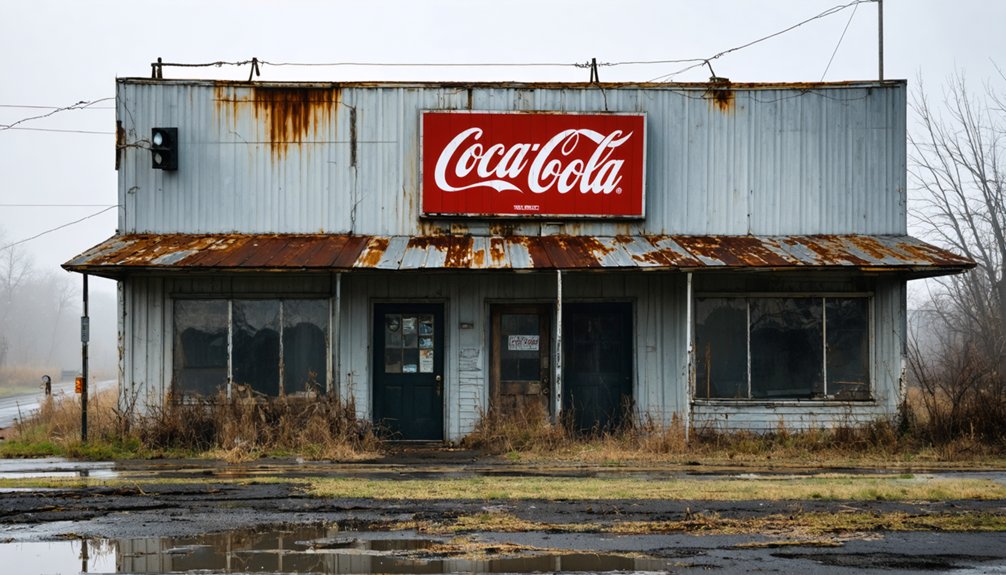
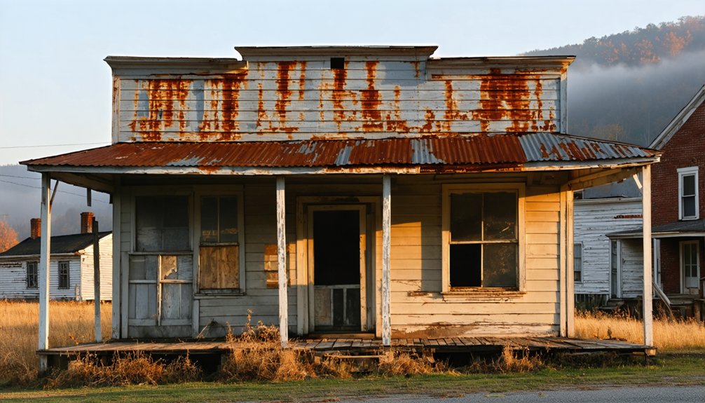
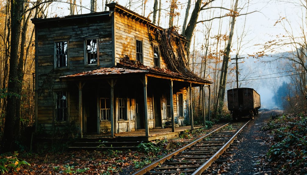
You’ll find Dry Fork, Kentucky as a ghost town today, though it once thrived with 500 residents in the early 1900s. The community built its foundation on coal mining, with families maintaining small gardens while men worked the mines. Traditional practices included food preservation and bartering at local trading posts. While most structures have crumbled, the Dryfork Cemetery remains as the last tangible connection to this mountain community’s rich heritage.
Key Takeaways
- Dry Fork was once a thriving coal mining community in Kentucky with over 500 residents before its decline into a ghost town.
- The settlement’s economy relied heavily on coal mining operations, making it vulnerable when the industry declined mid-20th century.
- Young residents left for better opportunities after World War II, leading to school closures and abandoned buildings.
- The Dryfork Cemetery remains as the last physical connection to the community’s past and serves as a historical archive.
- The community’s roots trace back to the late 18th century, with strong ties to the Transylvania Company’s 1774 land purchases.
The Rise of a Kentucky Mountain Community
While Kentucky’s frontier was still being explored in the late 18th century, the area that would become Dry Fork emerged as part of the expanding American frontier. You’ll find its roots in the Transylvania Company’s 1774 land purchases, which opened eastern Kentucky to European-American settlement.
Pioneer struggles defined the early days, as settlers built protective structures like Twitty’s Fort in 1775 to defend against Native American attacks. The mountain’s rugged terrain shaped Dry Fork’s cultural heritage, forcing families to adapt to isolated living through subsistence farming and local trade. The establishment of Mount Carmel School in 1925 brought formal education to the remote mountain community.
You’ll discover how the community developed around natural resources, with settlers utilizing the rich forests and caves for building materials and sustenance. The challenging landscape created a tight-knit society of homesteaders who relied on bartering and shared resources to survive. The Brown family land, acquired in 1842, became one of the area’s cornerstone properties that helped establish permanent settlement in the region.
Life in Early 20th Century Dry Fork
Life in early 20th century Dry Fork centered on coal mining, but you’d still find families tending small gardens and keeping livestock for subsistence near their modest homes.
You couldn’t rely on farming alone due to the poor mountain soil and steep terrain, though families maintained traditional practices like preserving food and sharing resources within the community. Like elsewhere in Madison County, they paid for their children’s education with agricultural produce at local schools.
While the men typically worked long hours in the mines, wives and children managed household duties, tended to animals, and maintained vital connections through church gatherings and local trading posts.
Daily Community Activities
During the early 20th century, Dry Fork’s residents structured their days around essential activities that blended work, sustenance, and modest recreation. Daily rituals centered on preparing hearty meals featuring pork, beef, and wild game, with families carefully preserving every part of their livestock. Traditional farm cooking included making biscuits and gravy for breakfast, carrying on recipes passed down through generations. The weekly bath was a careful ritual where shared bathwater was common practice for families.
You’d find community gatherings happening during teatime, where neighbors would share news over porcelain cups while children played with marbles nearby.
Water conservation shaped daily life, as you’d need to haul it from pumps or cisterns. You’d see folks wearing practical, layered clothing while tending to their mixed farming operations.
Everyone, including children, contributed to household chores, while maintaining strong kinship networks that helped families survive economic hardships. The Semi-Weekly News kept you connected to local happenings, preserving the community’s stories and traditions.
Family Farming Traditions
Family farms anchored Dry Fork’s agricultural landscape in the early 20th century, with each homestead operating as a self-sustaining unit of food production. Their farming heritage centered on sustainable practices passed down through generations, ensuring survival through careful land management and diverse food production.
You’d find these essential elements of family farming in Dry Fork:
- Carefully cleared fields surrounded by wooden fences, where you’d grow corn yielding 10-20 bushels per acre alongside beans and squash.
- A network of outbuildings including smokehouses and springhouses for preserving your harvest through winter.
- Livestock integration with cattle and hogs for meat, plus dairy production where terrain allowed.
- Multi-generational knowledge sharing of planting, processing, and preservation techniques.
These farming traditions formed the backbone of Dry Fork’s close-knit agricultural community.
Economic Pillars and Local Industries
You’ll find coal mining dominated Dry Fork’s economic landscape, with the industry providing steady employment through the company’s tightly controlled system of mining operations, company stores, and scrip-based commerce.
While mining formed the backbone of local commerce, residents supplemented their income through small-scale hunting, fishing, and gardening activities. Like the successful operations at U.S. Coal and Coke, the local mines provided jobs for thousands of workers during peak production years. The lack of railroad connections significantly limited the town’s ability to expand its economic reach.
The town’s singular focus on coal extraction, without meaningful economic diversification into agriculture or manufacturing, ultimately left it vulnerable when mining operations declined.
Mining and Resource Extraction
Coal extraction shaped Dry Fork’s economic foundation, beginning in the mid-1800s alongside broader mining developments across eastern Kentucky. Early mining techniques focused on easily accessible surface veins, but resource depletion forced operations underground.
You’ll find the evolution of mining methods reflected in the town’s industrial heritage:
- Initial extraction relied on manual labor, with miners undercutting coal seams using hand tools and removing coal by sled.
- The introduction of explosives enabled deeper mining operations and increased production capacity.
- Railroad construction in the early 1900s connected Dry Fork’s mines to urban markets.
- Corporate investment after the Civil War transformed small local operations into large-scale industrial mines.
The shift brought both prosperity and challenges, as company control extended beyond the mines into every aspect of workers’ lives through company stores and scrip-based wages. Similar to the Wisconsin Steel Company that developed nearby Benham, large corporations acquired thousands of acres for mining operations. Modern auger mining techniques were later implemented, using large horizontal boring machines to extract coal from seams more efficiently.
Farm Life and Trade
While mining dominated Dry Fork’s later years, agricultural roots ran deep in the community’s foundation.
You’d find farmers practicing crop rotation with corn, grains, beans, and squash, ensuring their land’s fertility for generations. Livestock management played a significant role, as cattle and hogs provided both sustenance and trade opportunities.
Local enterprises like Benjamin Brown’s grain mill served as essential community hubs, where farmers would gather to process their harvests. The area’s proximity to the Cumberland National Forest provided additional resources for the community’s growth and sustainability.
You’d see tobacco emerging as a noteworthy cash crop, with warehouses dotting the landscape for storage and inspection. The community’s farmers didn’t just survive – they thrived through regional trade networks, sending their products to larger markets in Louisville and Lexington.
Despite the Civil War’s disruptions to trade, Dry Fork’s agricultural foundation remained resilient.
The Whitehead Family Legacy
As eastern Kentucky’s history unfolds through genealogical records, the Whitehead family emerges as part of the region’s broader settlement pattern, though their specific connection to Dry Fork remains unclear.
Their Appalachian heritage spans generations, with roots tracing back to English origins and early American colonies.
A heritage etched in mountain valleys, the Whiteheads carried their English ancestry into America’s Appalachian heartland.
Notable Kentucky Whiteheads include:
- William Whitehead and Delilah Manning Barnett, who claimed Creek Indian heritage in Leslie County until 1910
- Rev. Benjamin Whitehead, a coal miner turned minister in McCreary County
- Stephen Logan Whitehead of Laurel County, who married Martha J Fish
- Walter Whitehead, who lived in McCreary with his wife Artie Luvada Davis
Through marriages, mining work, and ministry, the Whiteheads wove themselves into eastern Kentucky’s social fabric, though their exact role in Dry Fork’s community life requires further research.
Tracing the Path to Abandonment

Once a vibrant community of over 500 residents, Dry Fork’s path to abandonment reflects the broader pattern of rural decline across Appalachian Kentucky.
Despite the community’s resilience through generations of farming, trapping, and mining, economic shifts in the mid-20th century dealt devastating blows to this rural settlement.
You’ll find the story of Dry Fork’s decline written in census records that show steady population loss after World War II.
As younger residents left for better opportunities in larger towns, the community’s liveliness faded. Schools closed, buildings crumbled, and the once-bustling streets grew silent.
Today, only the Dryfork Cemetery remains as a memorial to the town’s historical significance, while surrounding forests have reclaimed the land where homes and businesses once stood.
Preserving Memories at Dryfork Cemetery
Standing as the last tangible link to Dry Fork’s past, the Dryfork Cemetery serves as both a historical archive and a focal point for community preservation efforts.
The historical significance of this sacred ground can’t be understated, as it holds essential genealogical records and community stories that might otherwise be lost to time.
When you visit the cemetery today, you’ll find:
- Local history groups actively engaged in grave restoration projects
- Documented memorial records available through platforms like Find a Grave
- Educational programs teaching proper gravestone maintenance techniques
- Community volunteers working to protect the site from environmental threats
You’re witnessing more than just preservation – you’re seeing a community fighting to maintain its heritage against the pressures of development and time, ensuring future generations can connect with their roots.
Frequently Asked Questions
Are There Any Paranormal Activities Reported at the Abandoned Dry Fork Site?
You won’t find documented ghost sightings or haunted locations at this site, unlike Kentucky’s more infamous paranormal spots. While local legends might exist, there’s no credible evidence of supernatural activity.
What Were the Typical House Designs and Building Materials Used in Dry Fork?
You’ll find Folk Victorian houses with gable-front designs, wooden frames, and front porches. Building materials included local timber, wooden planks, and simple decorative trim brought in by railroad.
Did Dry Fork Have Its Own School System or Educational Facilities?
You won’t find evidence of an independent school system in Dry Fork. Records suggest it likely shared Pike County’s education history and school infrastructure, operating under the county’s broader educational governance.
What Native Plants and Wildlife Species Were Common in Dry Fork?
You’ll find rich native flora including White Snakeroot, Purple Coneflower, and Cardinal Flower supporting diverse wildlife habitats where hummingbirds, butterflies, songbirds, and small mammals thrive among oak-hickory forests.
Were There Any Notable Crimes or Conflicts in Dry Fork’s History?
You won’t find documented evidence of notable crimes or major conflicts in Dry Fork’s history. The community’s historical records suggest it was a relatively peaceful place with minimal social disturbances.
References
- https://www.youtube.com/watch?v=zU_5-li-vhU
- https://www.onlyinyourstate.com/experiences/kentucky/ghost-town-ky
- https://www.youtube.com/watch?v=D9gOmfCuKLs
- https://www.explore.com/1480108/explore-ghost-towns-scary-road-trip-america-kentucky/
- https://www.onlyinyourstate.com/experiences/kentucky/12-ghost-towns-in-ky
- http://freepages.rootsweb.com/~gtusa/history/usa/ky.htm
- https://abandonedonline.net/quaint-dry-fork-house/
- https://abandonedonline.net/page/6/?leadsrank_com/
- https://urbanlegendsofbarren.wordpress.com/tag/dry-fork-ky/
- http://sites.rootsweb.com/~kyletch/articles/ben_brown_story.htm


