You’ll discover Erie, Alabama’s first ghost town, nestled along the Black Warrior River where Greene County established its original seat in 1820. This bustling river port of 1,500 residents thrived on cotton trade, with merchants and teamsters connecting inland plantations to Gulf Coast markets. Devastating floods, yellow fever outbreaks, and the 1838 relocation of county government to Eutaw led to Erie’s abandonment. Its story reveals how nature and circumstance can reshape a community’s destiny.
Key Takeaways
- Erie was Greene County’s first municipality, established in 1820 as a thriving 22-acre settlement along the Black Warrior River.
- The town served as a vital cotton trading port with 1,500 residents until recurring floods and disease outbreaks devastated the community.
- Yellow fever epidemics severely impacted Erie’s population, causing businesses to close and workers to flee the area permanently.
- The relocation of Greene County’s seat to Eutaw in 1838 triggered Erie’s rapid economic decline and eventual abandonment.
- Erie’s riverside location, once an economic advantage, ultimately led to its downfall through destructive floods and deteriorating infrastructure.
A Pioneer Settlement Takes Root
While many frontier settlements struggled to gain prominence in early Alabama, Erie emerged as a significant hub when it incorporated in 1820 as Greene County’s first municipality.
You’ll find the settlement strategically positioned on the Black Warrior River‘s east bank at Erie Bend, where founding families established a vibrant 22-acre community that would serve as the county’s first seat of early governance.
From 1819 to 1839, you’d have witnessed Erie’s growing importance as prominent regional entrepreneurs and settlers built the foundations of commerce and local government.
Unlike its Pennsylvania namesake city which sits at 728 feet above sea level, this Erie settlement was positioned at a much lower elevation along the river’s edge.
The town’s prime location attracted ambitious pioneers who saw the potential in this riverside settlement.
Erie’s establishment marked a pivotal moment in Greene County’s development, showcasing the determination of frontier settlers to carve out a thriving community in the Alabama wilderness.
The settlement’s eventual decline was hastened by a devastating outbreak of yellow fever that contributed to the county seat being relocated to Eutaw.
Life Along the Black Warrior River
The Black Warrior River shaped every aspect of Erie’s existence, from its bustling port to the daily rhythms of its 1,500 residents.
You’d find yourself amid diverse river ecosystems – from towering chalk bluffs to bottomland forests of cypress and tupelo trees. The federal lock system transformed river navigation after 1888, making commerce more reliable for Erie’s merchants. The community’s resilience was tested daily as they navigated life along these fertile but challenging waters. Like their counterparts in Lake Erie, shipping and maritime trade were vital economic drivers.
Life along the Black Warrior River meant adapting to stark contrasts, from soaring chalk cliffs to swampy cypress groves below.
- Your livelihood would’ve depended on the river’s moods, with steamboats carrying cotton downstream to Mobile through a complex network of waterways.
- You’d witness teamsters hauling wagons loaded with agricultural goods to Erie’s port, making it a crucial commercial hub.
- You’d face nature’s harsh realities, from seasonal flooding to yellow fever outbreaks that ultimately contributed to the town’s decline.
Commerce and Trade in Early Erie
During Erie’s heyday as an essential river port in the 1820s, you’d find yourself at the heart of Alabama’s bustling cotton trade economy. From your vantage point along the Black Warrior River‘s bend, you’d witness professional teamsters hauling cotton bales to waiting riverboats bound for Mobile’s seaport.
Similar to the commercial boom seen along the newly-completed Erie Canal in 1825, Erie’s trade networks stretched from inland agricultural regions to Gulf Coast markets, supporting a thriving population of 1,500. The town’s 22-acre shipping infrastructure included stores, a hotel, and essential port facilities. Like the Irish immigrant laborers who built America’s great waterways, Erie’s workforce was instrumental in developing the region’s transportation system.
As Greene County’s first county seat, Erie’s commercial importance drew merchants and traders from across the region. You’d encounter a dynamic marketplace where riverboats, wagons, and merchants converged, though this prosperity wouldn’t last.
The Glory Days of a River Port Town
You’d have found Erie’s bustling riverport brimming with activity as cotton-laden wagons, guided by skilled teamsters, made their way to the Black Warrior’s edge.
Each year, the town’s strategic bend in the river welcomed countless bales of cotton bound for Mobile’s markets, transforming Erie into a crucial economic hub. Similar to how the Erie Canal reduced costs by 95% for shipping goods, Erie’s river location provided significant transportation savings for local merchants.
The steady flow of agricultural goods through Erie’s port drove the town’s prosperity, supporting a population of 1,500 residents and numerous riverside businesses during its peak years. Today, visitors can verify ownership claims of historical properties within the ghost town’s boundaries.
Bustling Black Warrior Trade
Along Alabama’s winding Black Warrior River, Erie emerged as an crucial trade hub after the 1875 approval of an ambitious river navigation project.
The US government initiated construction of these crucial waterway improvements in the 1880s to support the region’s growing coal industry.
You’d have witnessed the river’s transformation with 17 locks and dams creating a six-foot channel, enabling steamboats to navigate the waterways.
By 1937, modernized high-lift locks revolutionized river transport, connecting Erie to global trade routes through Mobile and the Gulf of Mexico.
The Black Warrior basin became a highly industrialized corridor vital to Alabama’s economic growth.
- Steam-powered vessels could now reach Birmingham’s industrial heartland, moving coal and iron to worldwide markets.
- The port served as a crucial link in Alabama’s multi-modal transportation network, combining river and rail shipping.
- Advanced lock systems maintained a 200-foot-wide, nine-foot-deep channel, accommodating larger barges and boosting commercial traffic.
Cotton Drives Economic Growth
As Alabama’s rich Black Belt soil yielded increasingly bountiful cotton harvests in the early 1800s, Erie emerged as a vital gateway in the state’s burgeoning cotton economy.
You’d have witnessed endless bales of cotton arriving at Erie’s bustling riverfront, as steamboats carried the valuable cargo downstream toward Mobile and New Orleans. The town’s strategic location along the Black Warrior River made it an essential link between the fertile plantations and distant markets.
Erie’s prosperity directly reflected Alabama’s meteoric rise in cotton production, which grew from just 3.7% of the nation’s total in 1820 to an impressive 22.9% by 1849.
The river port’s success relied heavily on both agricultural innovations in the surrounding cotton fields and the reliable network of steamboats that connected inland plantations to coastal markets.
Teamsters Shape River Commerce
The bustling streets of Erie hummed with the constant motion of teamsters directing their wagons through town, forming an important link between inland plantations and the river port’s landing.
These skilled drivers mastered river logistics, steering the network of roads that connected Erie to surrounding communities. You’d find them expertly maneuvering heavy loads of cotton and other goods, ensuring smooth delivery to the steamboat landings.
Here’s what made teamster roles vital to Erie’s commerce:
- They transported cotton from inland plantations to riverside warehouses
- They coordinated with steamboat companies for efficient loading operations
- They helped sustain the economic lifeline between rural farms and Mobile’s markets
Their work integrated seamlessly with Irish stevedores and other port workers, keeping Erie’s commercial pulse strong and steady.
Natural Challenges and Health Crisis
You’ll find that Erie’s location on a bend of the Black Warrior River proved disastrous when frequent flooding disrupted commerce and damaged property throughout the town.
The muddy terrain and contaminated water supply created ideal conditions for disease outbreaks, particularly yellow fever, which devastated the population in the 19th century.
The deadly combination of environmental hazards and health crises drove many residents to abandon their homes and businesses, accelerating Erie’s decline.
Flooding Wreaks Economic Havoc
Located precariously along the Black Warrior River, Erie’s destiny was shaped by devastating floods that repeatedly hammered the town’s economic foundation. The flood damage created a devastating cycle of destruction that crippled Erie’s chances for sustained growth and prosperity.
- Floodwaters destroyed valuable infrastructure, including mills and commercial buildings essential to the local economy.
- Property values plummeted as businesses closed and residents fled, accelerating the economic decline.
- River trade routes were constantly disrupted, severing Erie’s crucial commercial lifelines.
You’ll find that Erie’s position as a county seat couldn’t withstand nature’s relentless assault. The town’s riverside location, once seen as an advantage for trade and transportation, ultimately became its greatest liability as recurring floods drove away investment and development opportunities.
Yellow Fever’s Deadly Impact
During the late 1800s, yellow fever devastated Erie’s already vulnerable population, striking with particular fury through the riverside settlement’s immigrant communities.
You’d have witnessed Irish and German settlers falling ill at alarming rates, as these newcomers lacked the resistance some locals had developed. The disease’s economic impact proved catastrophic – shops closed, trade ceased, and workers fled in panic.
The Can’t Get Away Club, a local relief organization, tried valiantly to care for the sick, but Erie’s isolation and limited medical knowledge hampered their efforts.
Quarantine flags dotted the landscape as families desperately attempted to protect themselves. Despite community leaders’ attempts to coordinate aid and improve sanitation, the repeated epidemics eventually contributed to Erie’s abandonment, marking a tragic chapter in Alabama’s history.
Relocation of Power to Eutaw

When Greene County voters made their decisive choice in 1838, the seat of local government shifted from Erie to the more centrally located Eutaw.
The government relocation dealt a crushing blow to Erie’s economy, triggering a swift economic decline as business activity dwindled.
Erie’s prosperity vanished when government offices moved away, leaving empty streets where commerce once thrived.
You’ll find that this change marked the beginning of Eutaw’s rise to prominence, while Erie faded into obscurity.
Here’s what sealed Erie’s fate:
- Eutaw’s superior central location provided better access for citizens across the county
- Asa White’s donation of 20 acres enabled immediate courthouse construction
- The Black Warrior River’s proximity to Eutaw offered essential shipping advantages
The Slow Fade Into History
Despite its early prominence as a bustling river port of 1,500 residents, Erie’s decline into obscurity unfolded through a perfect storm of setbacks.
You’d have witnessed the town’s gradual emptying as yellow fever outbreaks decimated the population and recurring floods from the Black Warrior River drove survivors away.
The poor water quality and muddy conditions didn’t help either.
What Remains Today

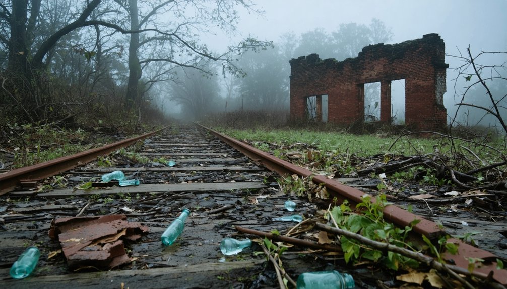
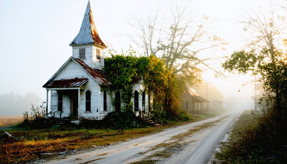
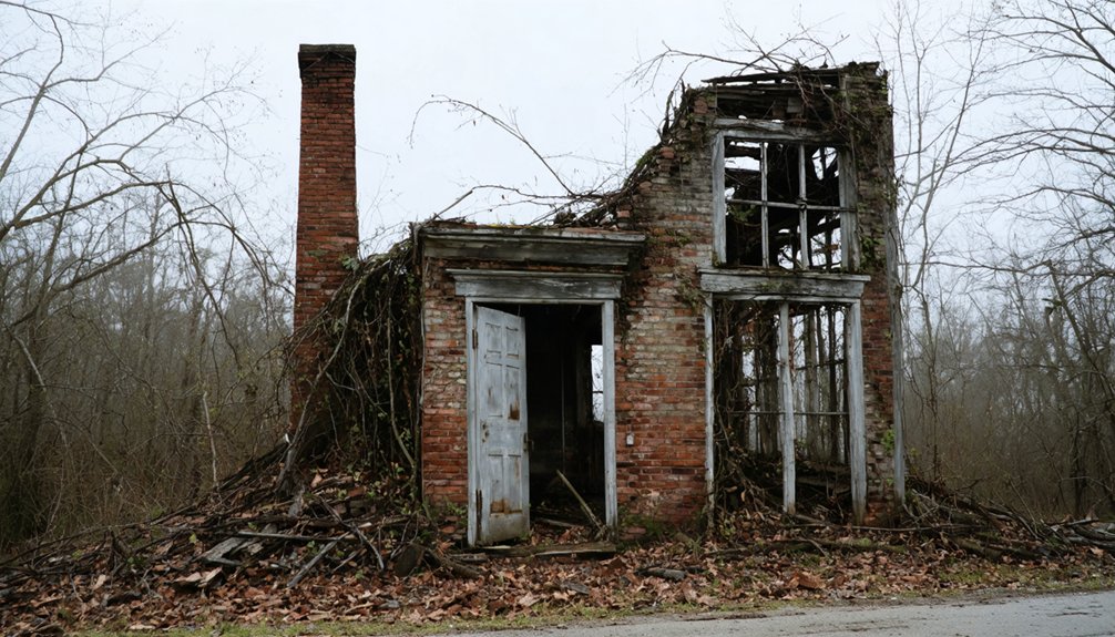
Today’s visitors to Erie’s former location will find little evidence of the once-thriving river town. Only scattered stones and bricks hint at the foundations that once supported this former county seat.
The Erie Cemetery, standing a short distance east, serves as the most significant remaining landmark of the settlement’s existence.
If you’re interested in exploring Erie’s remnants, you’ll want to note:
- Access is restricted due to private property ownership
- No standing structures remain since the last house burned in 1933
- Archaeological potential exists beneath the surface, though no formal excavations are documented
The site’s physical deterioration reflects nearly two centuries of flooding and natural wear.
While the cemetery maintains historical significance, Erie’s material legacy has largely vanished into Alabama’s riverine landscape, leaving only traces for modern explorers to contemplate.
Erie’s Place in Alabama’s Story
As Alabama emerged into statehood in 1819, Erie quickly established itself as Greene County’s first seat of government, marking the beginning of its significant yet brief role in the state’s early development.
You’ll find Erie’s legacy deeply woven into Alabama’s antebellum river trade economy, where it served as an essential cotton shipping port connecting inland farms to Mobile’s bustling harbor.
The town’s historical significance extends beyond commerce – it represented the dynamic frontier spirit of early Alabama, complete with a thriving population of 1,500 residents and a vibrant civic life.
Though environmental challenges and changing demographics eventually led to Erie’s abandonment, its story illuminates a pivotal chapter in Alabama’s transformation from wilderness to an agricultural powerhouse in the early 19th century.
Frequently Asked Questions
What Happened to Erie’s Original Jail and Courthouse Buildings?
You won’t find Erie’s courthouse or jail standing today – they vanished as the town died after losing county seat status in 1838. No jail renovations saved them; both structures disappeared before 1933’s final fire.
Were There Any Notable Crimes or Outlaws Associated With Erie?
You won’t find records of notorious outlaws or major crimes in Erie’s history. The town dealt with typical frontier-era legal issues but wasn’t known for lawlessness during its brief period as county seat.
What Native American Tribes Originally Inhabited the Erie Area?
You’ll be amazed to discover that the area where Erie once stood was primarily Creek territory, with significant Cherokee heritage shaping the landscape before European settlers arrived in present-day Alabama.
Did Any Famous Historical Figures Ever Visit or Stay in Erie?
You won’t find records of famous visitors to Erie, though the town held historical significance as a cotton shipping port. Its brief existence from 1819-1933 didn’t attract notable historical figures.
How Much Did Land and Property Cost in Erie During Its Peak?
While exact records don’t exist, you’d have found property values highest near the river and downtown, likely tens to hundreds of dollars per lot before Erie’s economic decline after losing county seat status.
References
- https://kids.kiddle.co/Erie
- https://digitalalabama.com/alabama-ghost-towns/erie-alabama-alabama-ghost-town/2937
- https://digitalalabama.com/places-to-see-in-alabama/erie-alabama-ghost-town/
- https://www.loveproperty.com/gallerylist/118655/the-eerie-alabama-ghost-town-with-a-hollywood-secret
- https://freepages.history.rootsweb.com/~gtusa/usa/al.htm
- http://www.ghosttowns.com/states/al/erie.html
- https://en.wikipedia.org/wiki/List_of_ghost_towns_in_Alabama
- https://en.wikipedia.org/wiki/Erie
- https://www.magnoliasandpeaches.com/GreeneAlGenWeb/History/FirstTownsLandmarks.asp
- https://www.hagenhistory.org/blog/eries-pioneer-days-it-wasnt-always-about-the-men


