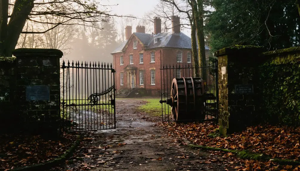
You’ll find Foul Rift along the Delaware River in Warren County, New Jersey, where William Penn’s 1,735-acre land grant sparked settlement in the 1740s. The area grew from a mill town into a vibrant summer community, but severe floods between 2004-2006 destroyed 24 cottages, leading to its abandonment by 2008. Today, this ghost town‘s namesake rapids remain a striking natural feature, dropping 22 feet over half a mile – a reflection of the powerful forces that shaped its fate.
Key Takeaways
- Foul Rift transformed from a vibrant seasonal community to a ghost town after severe flooding destroyed 24 cottages between 2004-2006.
- All remaining cottages were removed by 2008, marking the complete abandonment of the once-active residential settlement.
- The area originally featured worker housing, a general store, and churches centered around water-powered mills along the Delaware River.
- PPL Corporation previously leased properties to families for seasonal retreats before flooding forced permanent evacuation.
- The site now consists of abandoned shoreline and Class II rapids, with only the natural landscape remaining of the former community.
The Origins of an Unusual Name
While many place names in New Jersey honor historical figures or reflect local heritage, Foul Rift earned its distinctive name from the treacherous rapids along the Delaware River.
The name significance stems from a dramatic 22-foot drop in elevation over just half a mile of river, creating Class II rapids – the most dangerous you’ll find on the Delaware. Early settlers recognized these navigation challenges when they purchased land from William Penn’s heirs, and the name serves as a clear warning of the hazardous conditions. Warren County is home to this notorious section of the Delaware River.
You’ll find the rapids between mile markers 196.3 and 196.7, where a limestone ledge riverbed creates intense turbulence, especially during high water. The name perfectly captures the area’s defining feature: a natural obstacle that commands respect from all river travelers. Today, visitors can observe these dangerous waters from the Tekening Trails which provide excellent viewing points of the rapids.
Early Settlement and Penn’s Legacy
The story of Foul Rift’s settlement begins with William Penn’s original 1,735-acre land grant stretching from the foot of the rapids to Hutchison’s. Under Penn’s Quaker governance, the area evolved from temporary campsites to a permanent riverside community in the 1740s, when his heirs began subdividing and selling the land.
You’ll find that early settlers purchased their plots directly from Penn’s heirs rather than through royal grants. The land transactions followed Quaker principles of equitable dealings, with guaranteed religious liberty and representative government.
Aaron Dupui opened Warren County’s first store nearby in 1741, marking the area’s early commercial development. The settlement pattern focused along the Delaware’s east bank, where residents could access essential river resources while building their homes and farms.
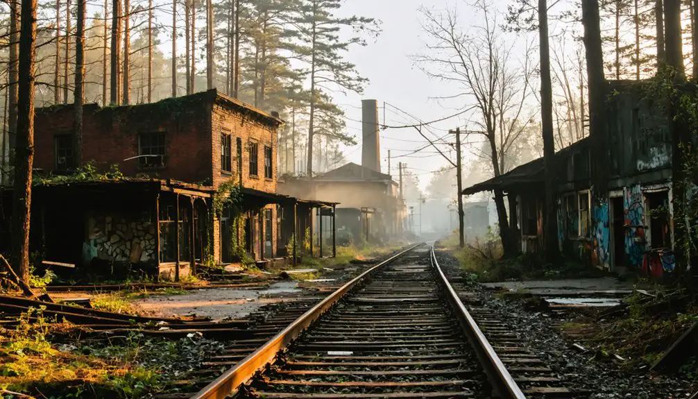
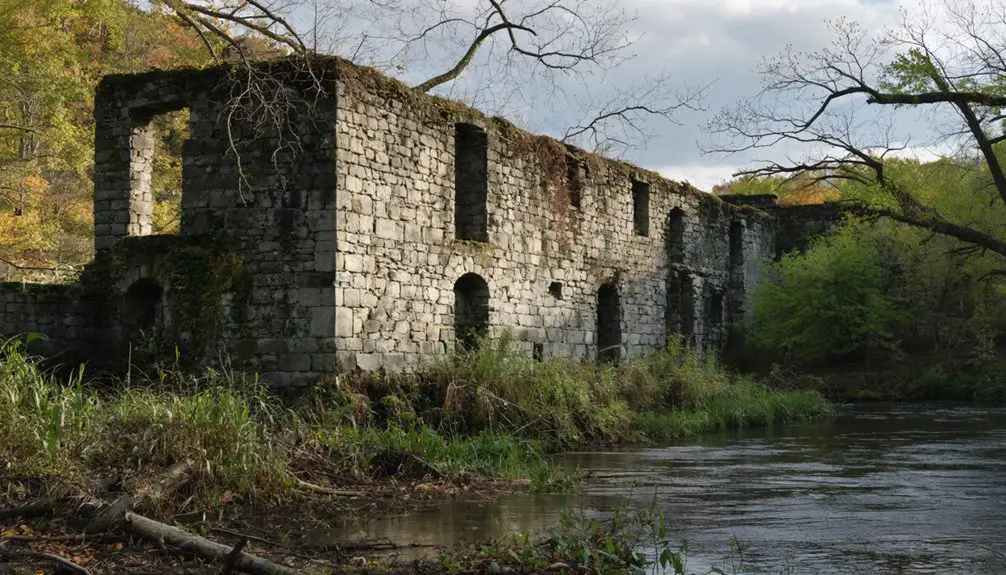
The Rise and Fall of Rifton Mills
As water-powered mills emerged along tributary streams in the early 19th century, Rifton Mills sprang to life as a bustling industrial community.
You’d have found grain processing and lumber operations supporting local farmers and builders, while advances in milling technology drove periodic expansions of the mill complex. Like the historic Morris Canal town of Waterloo Village, the site featured a working gristmill that was essential to local commerce. The area’s development mirrored other river towns where water power fueled industrial growth throughout the nineteenth century.
Life centered around worker housing, the general store, and churches, creating strong community cohesion among mill workers and farming families.
The mill village fostered close bonds through shared spaces, as daily life revolved around homes, commerce and faith.
The village thrived through seasonal cycles of harvest and construction, with timber products feeding barrel making and furniture manufacturing.
Life Along the Delaware River
During the early 17th century, European exploration and settlement transformed life along the Delaware River into a vibrant cultural crossroads.
You’d find Dutch traders at Fort Nassau bartering with Lenape tribes for beaver pelts, while Swedish and Finnish settlers established New Sweden along the river’s tributaries. The Swedes were notable for introducing log cabin construction to North America. By the 1680s, over 400 European settlers and 100 enslaved Africans lived alongside native peoples in the region. The local economy thrived as tobacco and pork became major exports.
River commerce flourished as ferries connected growing settlements like Bristol and Burlington.
You could witness cultural diversity in action as Dutch, English, German, and Walloon colonists collaborated in shipbuilding, farming, and manufacturing. Towns like Lambertville evolved into industrial centers, producing paper and rubber products.
The Delaware served as your lifeline, enabling trade between inland farms and coastal markets while fostering regional networks of commerce and community.
Nature’s Force: The Impact of Flooding
You’ll find that Foul Rift’s devastating transformation began with severe flooding events between 2004 and 2006, when surging Delaware River waters destroyed 24 cottages along its banks.
By 2008, the remaining cottages had been removed, effectively ending the area’s residential era after repeated floods that saw waters rise up to 8.6 feet above flood stage.
The environmental impact has been lasting, with riverbank erosion, compromised septic systems, and altered landscapes serving as permanent reminders of nature’s destructive force in this once-vibrant community. The region’s flood vulnerability had been demonstrated decades earlier when the Delaware River experienced a record-setting flood in August 1955.
Delaware’s Rising Waters
Recent years have brought unprecedented flooding challenges to Delaware, with rainfall patterns exceeding historical norms and threatening communities across the state.
You’ll find average July rainfall of 5.2 inches has been consistently surpassed, while intense storms now dump more than 2 inches per hour in some areas. These conditions, amplified by climate change, have created a perfect storm of flood risks. Tropical Cyclone Chantal contributed significantly to July’s higher-than-normal precipitation totals.
Your flood preparedness has never been more critical as urbanization compounds these threats. Green infrastructure solutions, like rain gardens and pervious surfaces, can help absorb excess rainfall.
Paved surfaces and aging infrastructure restrict natural drainage, while poor urban planning limits water absorption.
You’re facing mounting economic pressures too – the Brandywine Creek watershed alone has suffered $45 million in damages.
With only 28% of residents carrying flood insurance, climate adaptation strategies have become essential for protecting your property and community from Delaware’s rising waters.
Cottage Community Destruction
While the Delaware River had long sustained a vibrant cottage community at Foul Rift, devastating floods between 2004 and 2006 systematically destroyed 24 riverside homes.
You’d find these cottages, which began as simple campsites, perched perilously close to the water’s edge where the river drops twenty-two feet over half a mile.
The lack of cottage resilience became evident as powerful currents and storm surges battered their inadequate foundations and basic construction materials.
Without modern flood management infrastructure like levees or floodwalls, these structures couldn’t withstand nature’s repeated assaults.
Much like the narrow dirt roads that complicated navigation throughout the Pine Barrens, access to these vulnerable cottages became increasingly treacherous during storms.
By 2008, PPL Corporation removed the final four cottages, citing liability concerns.
The destruction marked the end of this recreational community, forever changing the landscape of Foul Rift’s riverbank from a lively seasonal retreat to an abandoned shore.
Lasting Environmental Changes
Dramatic flooding between 2004 and 2006 transformed Foul Rift’s landscape far beyond the mere destruction of cottages. The river’s force reshaped the shoreline through accelerated erosion and sediment dynamics, undermining infrastructure and altering water velocity patterns.
You’ll find the ecological shifts were profound – prolonged soil saturation led to ground instability, causing septic system failures and disrupting underground utilities.
The area’s vegetation underwent significant changes as flood-stressed native plants gave way to invasive species. You can see how the removal of maintained lawns and gardens allowed natural succession to take hold.
The river’s water quality suffered from increased sediment loads and bacterial contamination, while altered flow patterns impacted fish spawning grounds and wildlife corridors.
Today, Foul Rift stands as a reflection of nature’s reclamation of once-developed land.
From Summer Haven to Ghost Town
Throughout the 20th century, Foul Rift flourished as a scenic summer retreat along the Delaware River, where residents enjoyed waterfront cottages just two miles south of Belvidere.
The area’s community nostalgia grew as campsites evolved into cherished seasonal retreats, with many families leasing their properties from PPL Corporation.
But nature’s fury would spell doom for this riverside haven. Between 2004 and 2006, devastating floods destroyed 24 cottages, decimating the once-vibrant community.
Concerned about safety and liability, PPL Corporation made the decisive choice to remove all remaining residents. By 2008, they’d demolished the final four cottages, effectively ending Foul Rift’s residential chapter.
What was once a bustling summer destination now stands as a silent ghost town, marking the end of an era in Warren County’s history.
The Rapids Today: A Natural Landmark
The half-mile stretch of Foul Rift rapids remains one of the Delaware River‘s most striking natural features.
You’ll find the rapids about a mile south of Belvidere, where limestone ledges create a dramatic 22-foot drop in elevation. The natural beauty of scattered rocky islands and forested shorelines draws visitors to the Blue Trail’s observation points.
While you can explore the rapids by kayak or raft, you’ll need to navigate carefully through Class II whitewater conditions.
There aren’t any safe zones in this turbulent stretch, which presents serious recreational challenges. Water levels constantly change the rapid’s character – high water submerges the rock islands, while low water forces swift currents against the cliff sides.
It’s no wonder Foul Rift is considered the Delaware’s most hazardous section.
Frequently Asked Questions
What Wildlife Species Can Commonly Be Found Around Foul Rift Today?
You’ll spot high species diversity during wildlife observation, including smallmouth bass, river otters, white-tailed deer, ospreys, kingfishers, painted turtles, eastern newts, and various native freshwater mussels.
Are There Any Accessible Hiking Trails or Viewpoints Near Foul Rift?
You’ll find accessible hiking routes along the Blue Trail, marked with blue discs, leading to scenic overlooks of the rapids. The footbridge provides a perfect vantage point for viewing the rocky shoreline.
What Indigenous Tribes Originally Inhabited the Foul Rift Area?
You’ll find the Lenape tribes were the primary Indigenous inhabitants, with their cultural significance deeply tied to the Delaware River‘s resources and spiritual connections for centuries before colonization.
Does PPL Corporation Still Own the Land Where Cottages Once Stood?
Yes, you’ll find PPL Corporation maintains land ownership of the former cottage site today – they’ve kept the property since removing the last four cottages in 2008 due to flooding concerns.
Were Any Artifacts Recovered From the Rifton Mills Site After Its Destruction?
You won’t find documented evidence of artifact recovery at Rifton Mills after its 1856 demise. The site’s historical significance remains largely unexplored, with no formal archaeological investigations recorded.
References
- https://en.wikipedia.org/wiki/Foul_Rift
- https://rsftripreporter.net/gone-goner-ghost-towns-new-jersey-pine-barrens-part/
- https://njskylands.com/tn_riverroad_093
- https://wobm.com/new-jersey-is-home-to-one-of-americas-spookiest-ghost-towns/
- https://catcountry1073.com/the-weirdest-town-name-in-new-jersey/
- https://dspace.njstatelib.org/bitstreams/f34172ca-795f-45d6-9977-5436014e7469/download
- https://www.insidewarren.com/rift-rapids-run-afoul-in-charlies-pic-of-the-week/
- https://archive.org/download/cu31924010411118/cu31924010411118.pdf
- https://www.seekingmyroots.com/members/files/H006502.pdf
- https://history.rutgers.edu/files/201/1995/55/Shippen-Menor-and-Oxford-Furnace-Morgan-1995.pdf