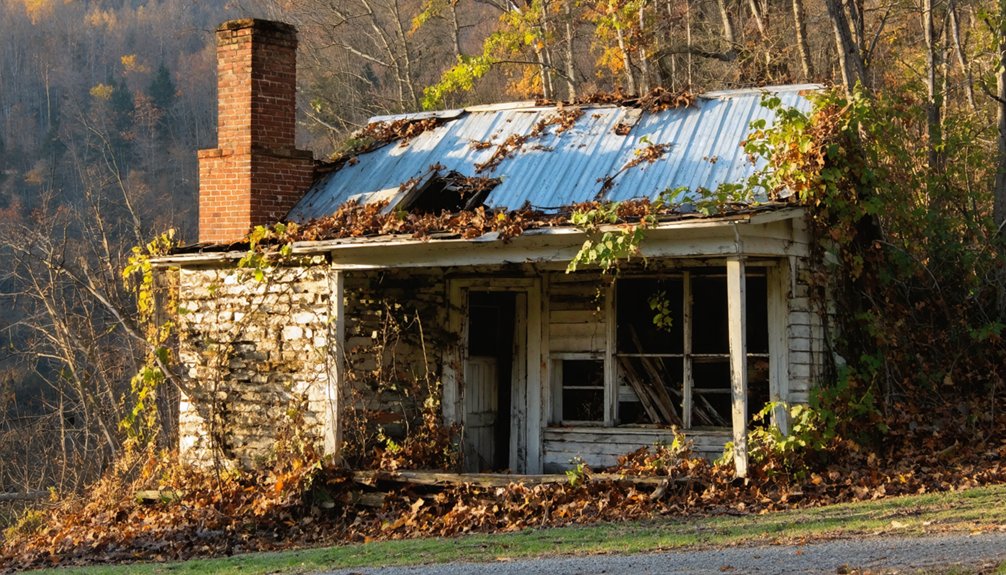
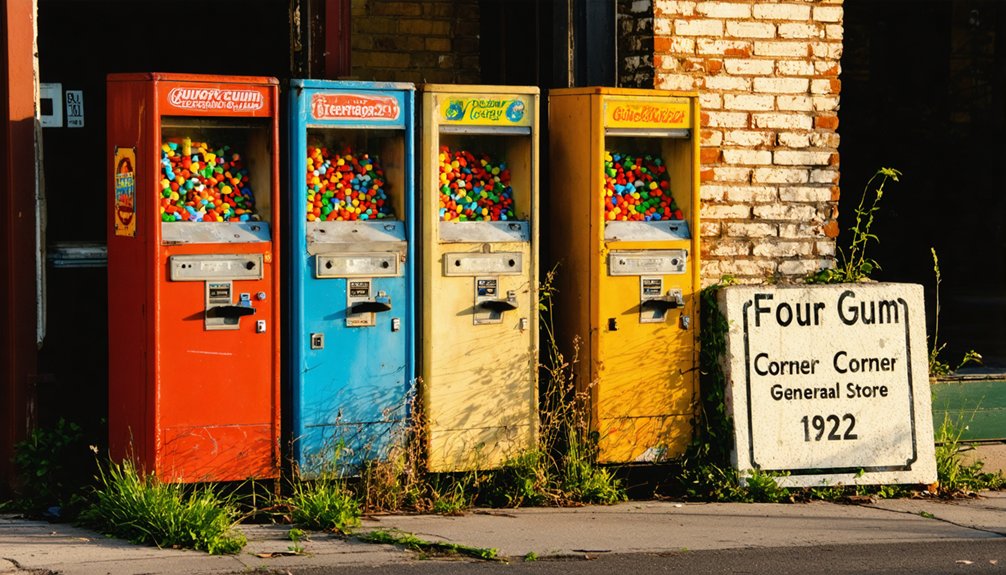
You’ll find Four Gum Corner at a historic crossroads in St. Francis County, Arkansas, named for the four sweet gum trees that once marked its intersection. This former timber town flourished in the early 1900s with two general stores, churches, and the Zier School serving its tight-knit community. After intensive logging depleted the area’s hardwood forests, it transformed into farmland. Today’s landscape of soybeans and rice fields holds clues to its fascinating past.
Key Takeaways
- Four Gum Corner transformed from a bustling timber community to a ghost town after deforestation depleted local hardwood resources in the early 1900s.
- The community’s namesake four sweet gum trees and original T-junction disappeared as agricultural development replaced the historic rural settlement.
- Two churches and the Zier School that formed the community’s social core closed by the 1960s, marking the area’s decline.
- General stores that served as community hubs shuttered when the timber economy collapsed, despite attempts to transition to tomato farming.
- Modern agricultural fields of soybeans and rice have replaced the former settlement, with few residents and no original structures remaining.
The Origin Behind the Name
The legacy of Four Gum Corner stems from four towering sweet gum trees that once stood at the intersection of two rural Arkansas roads. You’ll find the name significance rooted in these natural landmarks, which marked the junction where the road from Wheatley met the route from Palestine in St. Francis County.
In its historical context, this crossroads developed in an area known for its abundant hardwood forests. The four sweet gum trees served as a distinctive waypoint in the landscape, leading locals to naturally adopt the name for their community. The intersection remained a T-shaped junction until extensive road modifications were made in the late 1960s. Like many ghost towns in Arkansas, the area reflects the economic shifts that transformed rural communities throughout the state.
While the original trees and much of the surrounding timber have since given way to soybean and rice fields, the name preserves a snapshot of Arkansas’s environmental heritage.
Community Life and Education
During its heyday, Four Gum Corner supported a close-knit rural community centered around two churches and a single schoolhouse.
You’d find residents gathering at the landmark crossroads where four sweet gum trees stood, while local stores, though miles apart, provided essential supplies for the scattered population.
The Zier School, a one-room schoolhouse about three miles into the woods, served as the area’s educational foundation until the late 1950s.
Dedicated teachers like Kelsa Brown and Lucille Colvin made lasting educational impacts despite limited resources.
Through passion and perseverance, rural educators shaped young minds and built enduring legacies in their humble one-room schoolhouse.
Students reached the school by wagon roads and footpaths, reflecting the area’s rural isolation.
Like the early French trading post at Arkansas Post, the community served as a vital meeting point for local commerce and social life.
Community gatherings at the churches and school fostered strong social bonds until the 1960s, when new road extensions began altering the traditional patterns of local life.
Much like Arkansas’s Buffalo National River area, the surrounding wilderness offered scenic trails that local families would explore on weekends.
Local Business and Economy
While Four Gum Corner originated as a bustling timber town in Arkansas’s hardwood forests, its economic foundation underwent dramatic shifts throughout the twentieth century.
exploring chalk bluff’s historical significance reveals the vital role it played in shaping local commerce and culture. The town’s rich heritage is evident in its preserved buildings and annual festivals that celebrate its unique past. These elements not only attract visitors but also instill a sense of pride among residents, reinforcing the community’s connection to its roots.
The town followed a pattern seen across the Ozarks as extractive economies gradually depleted local resources and wealth.
You’ll find that as timber resources depleted, the town’s economy transformed through several distinct phases, each marking significant changes in local business activity and employment patterns.
- Timber operations and sawmills initially drove the local economy until early 1900s depletion.
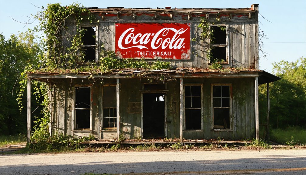
- Two general stores served as community hubs during economic changes.
- Tomato farming emerged as a replacement industry, with regional canneries expanding rapidly.
- Livestock and mechanized agriculture later dominated but required fewer workers.
- Limited transportation infrastructure, without rail access, constrained business diversification.
These economic shifts ultimately led to the town’s decline, as small business opportunities dwindled and the population decreased with each industrial change.
Geographic Layout and Roads
Four Gum Corner’s original configuration featured a T-junction where two roads met, creating a simple but functional intersection.
Similar to mining towns like OK, Arkansas, the area experienced significant infrastructure changes over time. In the late 1960s, you’ll find that the extension of the Wheatley road transformed this T-junction into a proper crossroads, improving connectivity and access throughout the region.
The road network now consists of 2WD-accessible paths arranged in a grid system, connecting the ghost town to nearby communities like Palestine and Wheatley. The intersection was once marked by four gum trees that served as natural landmarks until their eventual disappearance.
Original T-Junction Layout
At the heart of Four Gum Corner stood a simple T-junction where two important roads intersected – one stretching from Wheatley and another from Palestine.
This historical roadway configuration formed the foundation of what would become a bustling rural community. You’ll find the T-junction’s significance deeply rooted in both the town’s layout and its identity.
- Four majestic sweet gum trees marked the intersection, giving the town its distinctive name
- Two general stores operated near the junction, though separated by some distance
- The road system evolved over time, adapting to the community’s changing needs
- The junction served as a crucial connection point for local timber operations
- The original layout influenced the placement of other community structures
The T-junction’s design reflected the practical needs of early settlers who established this Arkansas crossroads community.
As these pioneers built their lives, many towns flourished, while others fell into disrepair, becoming ghost towns in Arkansas history. These remnants of the past serve as stark reminders of the region’s changing landscape and the ebb and flow of community life. Exploring these abandoned sites offers a fascinating glimpse into the stories and struggles of those who once called them home.
Road Evolution Over Time
Throughout the early 20th century, road construction near Four Gum Corner followed distinct patterns that shaped the area’s development.
You’ll find early roads built with concrete bases 8.5 feet wide at the top, expanding to 9.5 feet at the bottom, with gravel shoulders creating an 18-foot roadbed.
Simple stationary concrete mixers handled construction without heavy machinery. The area experienced poor road conditions historically, like much of Arkansas, affecting transportation and development in the region. Topographic maps from 1939 reveal the original road layouts and their gradual evolution near Hunter.
Major Transportation Routes
The major transportation network surrounding Four Gum Corner relies primarily on county-maintained roads within St. Francis County’s Mississippi Alluvial Plain.
You’ll find this network’s regional connectivity shaped by the area’s agricultural needs and flat terrain, with key routes connecting to Forrest City and Interstate 40.
- Arkansas Highway 1 and Highway 50 serve as major arteries near Four Gum Corner, though they don’t directly intersect the community.
- Local roads consist of gravel and two-lane paved surfaces designed for farm equipment and residential access.
Similar to the U.S. Highway system that serves the Four Corners region, the transportation infrastructure focuses on connecting rural communities to larger economic centers.
- The transportation history includes rail lines in the broader county, though none service Four Gum Corner directly.
- The St. Francis River once played a role in regional transport but isn’t currently significant.
- The grid-like road pattern takes advantage of the flat topography, creating efficient routes for agricultural commerce.
Environmental Transformation
You’ll find Four Gum Corner’s most dramatic change in its transformation from dense hardwood forest to vast agricultural fields of soybeans and rice.
The area’s heritage of towering timber that once defined the region has been systematically cleared to make way for modern farming operations.
What was once a shaded woodland community has evolved into open farmland, fundamentally altering both the physical landscape and the community’s relationship with the land.
Forest to Farmland Evolution
Originally situated in dense hardwood timber, Four Gum Corner underwent a dramatic environmental transformation as agricultural expansion reshaped its landscape. The forest conversion process changed the area from timber-rich wilderness to productive farmland, with soybeans and rice replacing the native hardwoods.
Agricultural practices transformed not just the land, but the entire community’s way of life.
- Modern irrigation systems and mechanized farming methods increased crop production efficiency
- Soil conditions proved ideal for intensive agriculture, supporting the change
- The shift from timber to crops altered local water management systems
- Economic focus moved from lumber to agricultural markets
- Infrastructure expanded to accommodate farming needs, turning the T-junction into a crossroads
These changes fundamentally altered the ecological balance while establishing a new agricultural economy.
Hardwood Timber Heritage Lost
Deep within Four Gum Corner’s rich environmental history lies a story of devastating timber exploitation that forever changed the region’s landscape.
You’ll find that by the early 1900s, intensive logging had stripped away the area’s pristine hardwood forests, including valuable black walnut, locust, cedar, and sweet gum stands.
The ecological impact was severe as railroad construction and widespread deforestation fragmented wildlife habitats and destabilized soil systems.
What you’re seeing today bears little resemblance to the diverse hardwood ecosystem that once thrived here.
The rapid extraction of timber resources, driven by the arrival of the St. Louis and San Francisco Railroad in 1881, left an indelible mark.
Companies like Phipps Lumber pushed deeper into remote areas until they’d exhausted nearly all accessible hardwood timber, leaving Four Gum Corner’s namesake heritage lost to history.
Rural Landscape Drastically Changed
Since the early industrial era, Four Gum Corner’s rural character has undergone dramatic environmental changes beyond just timber losses.
You’ll find the landscape transformed by industrial facilities, rural development, and shifting agricultural practices. Veolia’s 1,400-acre waste treatment complex exemplifies modern land reclamation efforts, while new highways have fragmented once-continuous oak-hickory woodlands.
- Historic fire-dependent ecosystems have densified due to decades of fire suppression
- Native pastures have given way to introduced grass species like tall fescue
- Bottomland forests have been converted to soybean fields
- Natural areas now exist as isolated fragments requiring conservation
- Industrial infrastructure occupies former woodland and agricultural spaces
Today’s Four Gum Corner bears little resemblance to its original character, though conservation efforts aim to preserve remaining natural heritage amid ongoing development pressures.
Modern Day Remnants
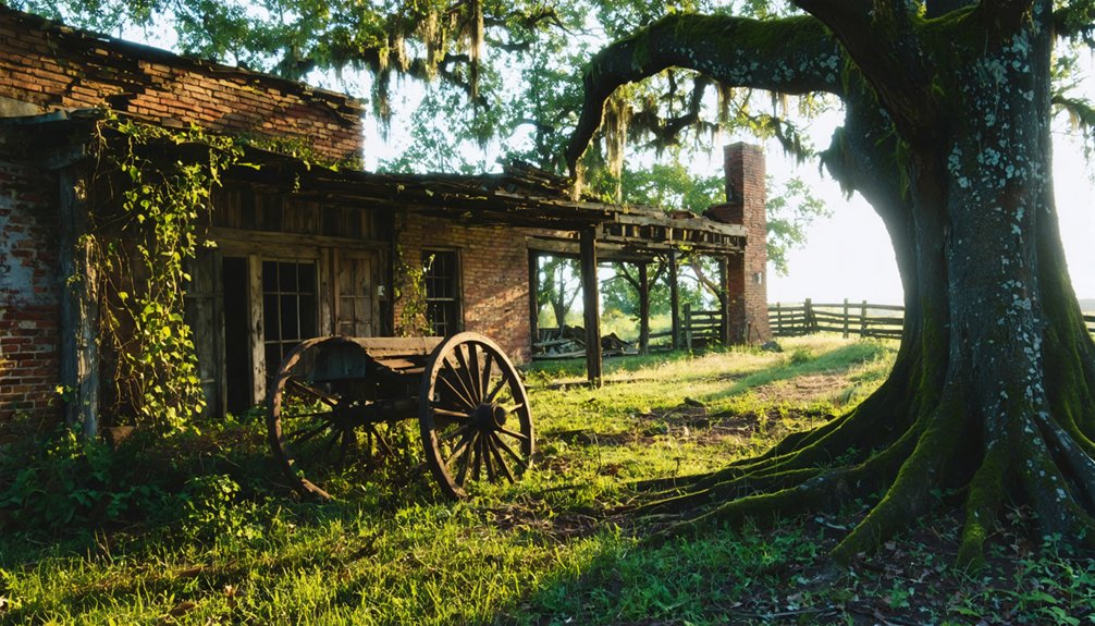
While Four Gum Corner once thrived as a bustling timber community, today’s landscape reveals a stark transformation into vast agricultural fields.
You’ll find soybean and rice crops stretching across what used to be dense hardwood forest, reflecting the modern lifestyle that has reshaped this corner of St. Francis County, Arkansas.
Despite the dramatic changes, signs of community resilience remain. A handful of residents still call this area home, adapting to the agricultural shift while preserving their rural connections.
You can reach the site easily via two-wheel drive roads, though you won’t find many physical remnants of the past. The former T-junction has evolved into a crossroads, and the two churches and stores that once anchored the community have largely disappeared from view.
Frequently Asked Questions
When Did the Last Original Store Close in Four Gum Corner?
You won’t find a definitive date for the last store closure in this ghost town’s history, as historical records don’t document when the final original store ceased operations.
How Many Families Lived in Four Gum Corner During Its Peak?
Like the vanishing frontier towns of old, you’d find community dynamics pointed to roughly a few dozen families at peak population, though exact numbers weren’t recorded before decline transformed the settlement.
Were There Any Notable Crimes or Incidents in Four Gum Corner?
You won’t find any documented crimes or unsolved mysteries in the historical records. Despite local folklore, there haven’t been any verified ghost sightings or major incidents worth noting.
What Happened to the Two Church Buildings After the Community Declined?
Though church preservation efforts could’ve saved these sacred spaces, you won’t find records of what specifically happened to Four Gum Corner’s two churches – their community legacy faded as the town declined.
Did Any Famous People Ever Visit or Live in Four Gum Corner?
You won’t find any famous visitors or notable residents in historical records from this community. It remained a small rural settlement focused on farming and timber, without attracting any well-known personalities.
References
- https://arkansasfrontier.com/ghost-towns-in-arkansas/303766/
- https://www.ghosttowns.com/states/ar/fourgumcorner.html
- https://shilohmuseum.org/project/scenes-of-newton-county/
- https://www.onlyinyourstate.com/experiences/arkansas/ar-ghost-towns
- https://www.youtube.com/playlist?list=PL4jqwLUrhjNQTUht0FCp8mnQYi_DNiUWU
- https://www.youtube.com/watch?v=3oZuUMZk_Eo
- https://en.wikipedia.org/wiki/List_of_ghost_towns_in_Arkansas
- https://kids.kiddle.co/List_of_ghost_towns_in_Arkansas
- http://reallyweirdplacenames.blogspot.com/2012/11/arkansas.html
- https://pubs.usgs.gov/bul/0258/report.pdf