Planning a ghost town road trip to Cortez, Nevada means preparing for remote desert terrain, active mine traffic, and roads that shift from paved to gravel without warning. You’ll want extra water, fuel, a spare tire, and a paper map since cell signals fade fast out here. Exit Interstate 80 near Beowawe, head south on State Route 306, and verify access conditions before you leave. There’s far more to discover once you know what’s waiting.
Key Takeaways
- Cortez, Nevada, founded in 1863, features weathered wooden buildings, mill ruins, adobe remnants, and a historic cemetery worth exploring.
- Access Cortez via Interstate 80 toward Beowawe, then south on State Route 306, following Cortez Gold Mine Road from paved to gravel.
- Verify road conditions and access restrictions with Lander County or mine operators before departure, as active mining operations affect the route.
- Pack extra water, fuel, a spare tire, first-aid kit, sun protection, and a paper map for safe remote desert travel.
- Combine Cortez with nearby ghost towns like Austin, Eureka, and Battle Mountain for a richer Nevada historical road trip experience.
Why Cortez, Nevada Still Draws Ghost Town Explorers
Tucked into the shadow of the Cortez Mountains in central Nevada, this quiet ghost town pulls in road-trippers who want more than a roadside marker and a photo op. Cortez offers something rarer — a place where ghost town preservation meets active industrial mining, creating a collision of past and present you won’t find everywhere.
You’ll walk among weathered wooden structures, adobe remnants, and mill ruins while massive open-pit operations run just beyond the historic boundary. The district’s story spans over 150 years, covering shifting mining techniques from pan amalgamation to cyanide processing to flotation.
That layered history gives curious travelers real substance to explore. If you’re drawn to wide-open desert, honest ruins, and untouched industrial heritage, Cortez delivers without the crowds or the curated gift shop.
Silver Strikes, Gold Shifts, and 150 Years of Mining History
When nine prospectors led by Andrew A. Veatch organized the Cortez mining district in 1863, they triggered over 150 years of relentless extraction.
Silver dominated the early decades, with ore first hauled to Austin before local mills took over.
As mining technology evolved, so did Cortez — pan amalgamation gave way to cyanide processing, then flotation, each method squeezing more value from the earth.
What Survives at the Cortez, Nevada Townsite Today?
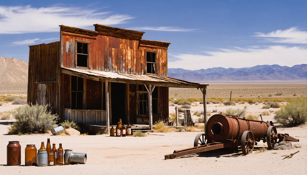
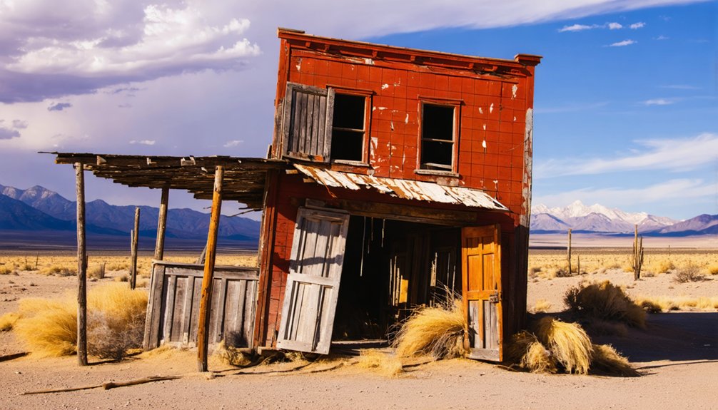
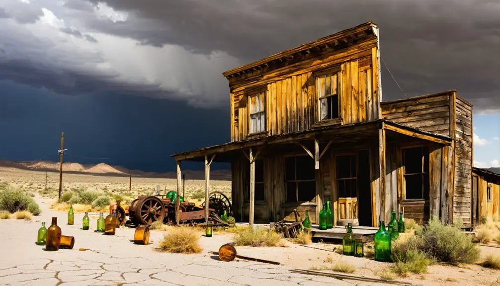
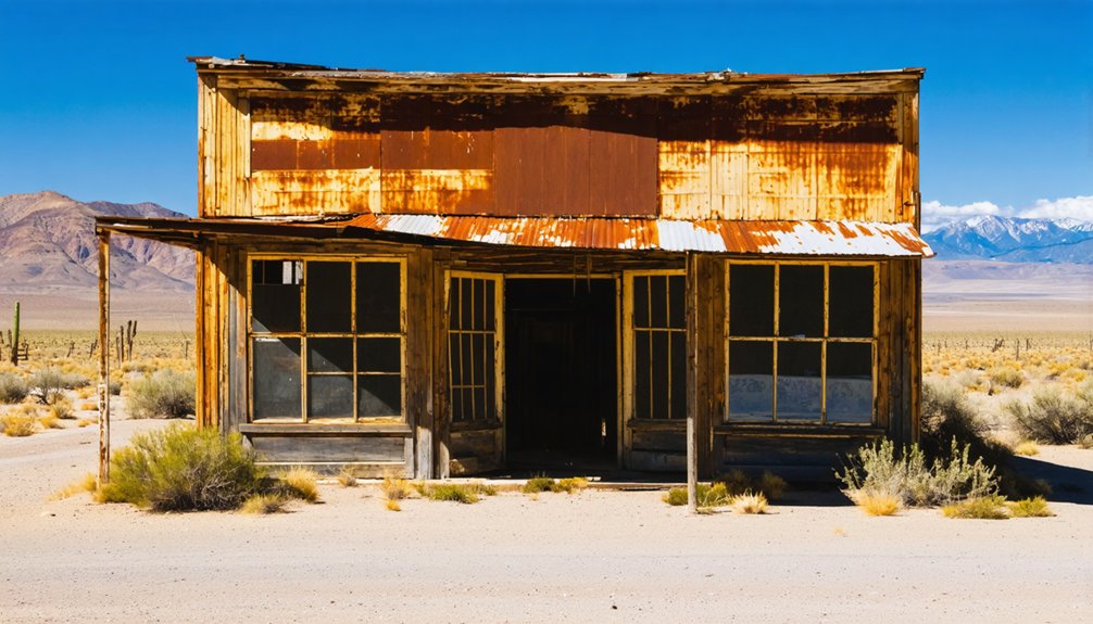
When you pull up to the Cortez townsite, you won’t find a polished preservation project — you’ll find weathered wooden structures, scattered foundations, and mill ruins quietly dissolving back into the desert.
Adobe remnants hint at what once stood here, and a small cemetery gives you a grounded sense of the people who lived and died during the district’s long run.
It’s a sparse site, but that rawness is exactly what makes it worth the drive.
Ruins and Standing Structures
Although Cortez won’t overwhelm you with preserved storefronts or restored saloons, what’s left on the ground tells a genuine story of the mining era. You’ll find weathered wooden structures, scattered adobe remnants, and foundation outlines that mark where the town once operated.
Mill ruins anchor the historic architecture still visible across the site, giving you a sense of the industrial scale that once defined daily life here.
Fragments of mining equipment surface throughout the area, rusted but readable to anyone willing to look closely. The cemetery adds another layer of human context to what might otherwise feel like a purely industrial ruin.
It’s sparse, honest, and unpolished — exactly the kind of stop that rewards curious travelers over casual sightseers.
Cemetery and Adobe Remnants
Among the more quietly affecting features at Cortez, the cemetery grounds you in the human story behind the silver rush. Real people built this district, and their graves remain as honest markers of that effort. Adobe remnants nearby reinforce how settlers adapted to harsh desert conditions using available materials.
When you walk this section, you’ll notice:
- Weathered grave markers that reward patient artistic photography and quiet reflection
- Adobe wall fragments that reveal construction techniques shaped by climate and necessity
- Scattered foundations that hint at a once-functioning community now reclaimed by desert scrub
Together, these elements serve cultural preservation in ways that standing structures sometimes can’t. They’re unpolished, unrestored, and completely real — exactly what serious ghost-town explorers come to find.
How to Reach Cortez, Nevada From Interstate 80
Getting to Cortez from Interstate 80 is straightforward once you know where to turn. Exit toward Beowawe and head south on State Route 306. You’ll enjoy paved road for a stretch before the pavement ends and gravel takes over. From there, follow Cortez Gold Mine Road toward the site.
Keep in mind that active mining operations surround the historic townsite, so modern mining technology shapes the landscape you’ll drive through. That contrast actually adds to the experience, placing historical preservation efforts beside massive industrial machinery.
Check road conditions before you leave, since mine traffic and seasonal wear can alter routes without much warning. Carry extra fuel and water, because services disappear quickly once you leave the interstate. Daylight travel keeps navigation easier across this remote desert terrain.
Active Mine Traffic and Access Restrictions Near the Townsite
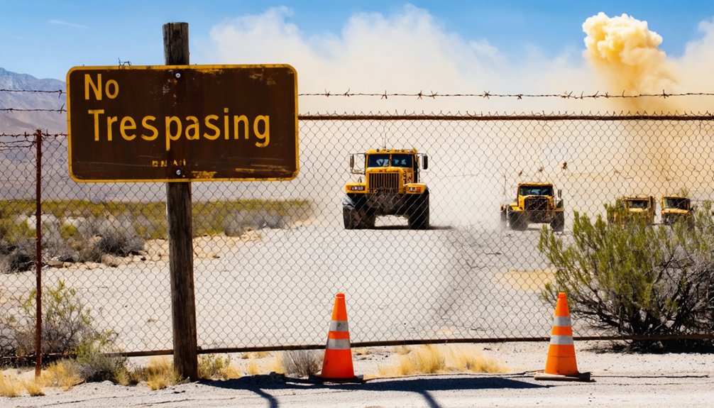
Once you’re on the gravel road heading toward the townsite, you’re sharing that route with heavy mine trucks and active industrial traffic, so expect delays and stay alert.
Barrick’s Cortez operation is one of Nevada’s largest gold producers, and access rules around the site can shift without much notice.
Before you head out, call ahead or check current conditions online to confirm whether the historic townsite remains open to visitors.
Mine Traffic Affects Access
Because active mining still surrounds the Cortez townsite, you’ll need to factor in more than just road conditions before you head out. Heavy equipment, haul trucks, and restricted zones can shift without notice, cutting off routes to the mining relics and desert landscapes you came to explore.
Before you leave, check three things:
- Current access points — mine operations may redirect traffic or close certain roads entirely.
- Vehicle restrictions — some graded roads near active pits aren’t open to personal vehicles during shift changes.
- Time of day — peak haul-truck hours create real hazards on narrow gravel roads.
Staying informed keeps your visit safe and your route open.
Freedom on the road starts with knowing what you’re driving into.
Verify Current Road Restrictions
Road restrictions near Cortez can change fast, and you don’t want to find out about a closure after you’ve already committed to a gravel road with no easy turnaround. Active mining operations control much of the surrounding land, so posted rules, detours, and permitted zones shift without much public notice.
Before you head out, contact Lander County or the mine operator directly to confirm current access. Don’t rely on older travel forums or outdated maps. The area offers genuine historical preservation value, but none of that matters if you can’t reach the townsite.
Unlike destinations built around tourist amenities, Cortez has no visitor center to walk into for updates. Your best tool is a phone call made the day before you leave. That one step keeps your road trip moving forward.
Pairing Cortez With Other Central Nevada Ghost Towns
Cortez fits naturally into a broader ghost-town loop through central Nevada, where mining history runs deep and abandoned sites dot the desert landscape within a few hours of each other. Pairing it with nearby districts deepens your understanding of ghost town preservation and shifting mining technology across generations.
Consider adding:
- Austin, Nevada – A well-documented silver camp with standing structures and accessible history along US-50.
- Eureka, Nevada – A preserved mining town featuring a restored opera house and active museum documenting lead-silver extraction.
- Battle Mountain area sites – Scattered remnants connecting copper and gold production eras across Lander County’s open terrain.
Linking these stops creates a rewarding route that rewards curiosity, fills full travel days, and keeps you moving through some of Nevada’s most compelling desert backcountry.
What to Pack Before Driving Out to Cortez, Nevada
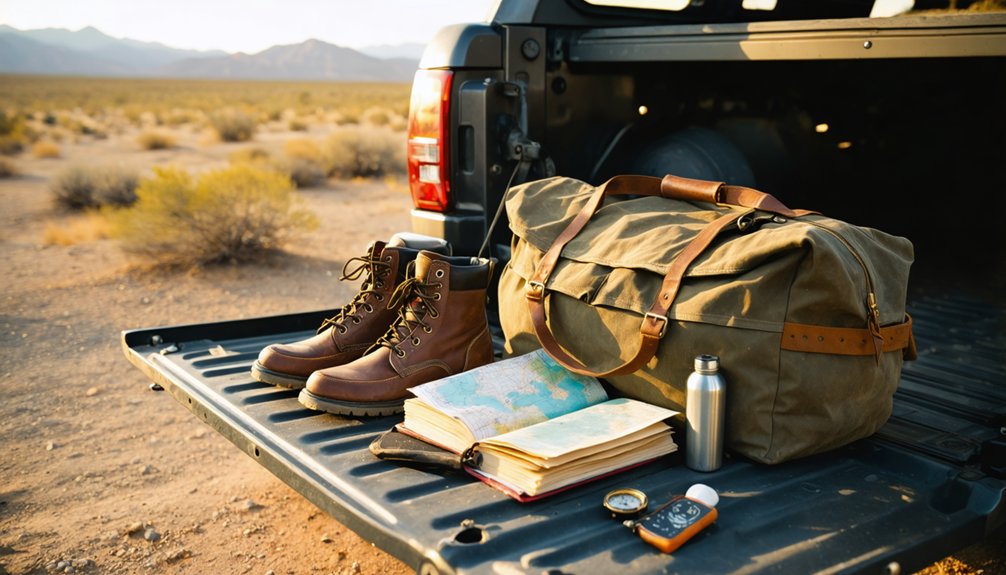
Packing smart makes the difference between a smooth desert run and a trip cut short by something preventable. Cortez sits far from services, so bring more water than you think you’ll need, extra fuel, sun protection, and a spare tire rated for gravel roads. A paper map backs you up when cell signals vanish.
Bring a camera with a quality lens for capturing weathered structures and mill ruins without disturbing anything. Historical artifacts at remote sites face real preservation challenges when visitors handle or remove materials, so photograph everything and leave it exactly where you found it.
Pack snacks, a first-aid kit, and layers for shifting desert temperatures. Freedom on a road like this comes from preparation, not luck.
Frequently Asked Questions
Is There Cell Phone Service Available Near the Cortez Townsite?
Cell service near Cortez is unreliable at best—you’ll likely find weak signal strength or none at all. Download your maps offline, notify someone of your plans, and embrace the freedom of true off-grid desert exploration.
Are Guided Ghost Town Tours Offered at Cortez, Nevada?
Over 150 years of history await you, yet no formal guided tour options exist at Cortez. You’ll explore historical preservation independently, roaming weathered ruins and mill remnants at your own pace — true freedom for the adventurous ghost-town seeker.
Is Camping Permitted Anywhere Near the Cortez Ghost Town Site?
The knowledge doesn’t confirm camping regulations near Cortez, so you’ll want to check with local land management agencies before arriving. Wildlife restrictions and active mining operations could also impact where you’re permitted to set up camp.
What Is the Best Time of Year to Visit Cortez?
Spring and fall are your best bets for historical preservation exploration and wildlife observation. You’ll enjoy mild temperatures, manageable gravel roads, and golden desert light that makes Cortez’s weathered ruins absolutely stunning for photography and discovery.
Are Pets Allowed When Visiting the Cortez Historic Townsite?
No official pet policies are confirmed for Cortez’s historic townsite, but animal restrictions may apply near active mining areas. You’ll want to check current access rules before bringing your four-legged adventure companion along.
References
- https://en.wikipedia.org/wiki/Cortez
- https://www.nvexpeditions.com/lander/cortez.php
- https://westernmininghistory.com/towns/nevada/cortez/
- http://www.onv-dev.duffion.com/articles/cortez-mining-district
- https://www.nevadaghosttownsandmininghistory.com/portfolio-2/cortez
- https://www.mininghistoryassociation.org/Meetings/Elko2021/2021.MHA Program with covers.pdf
- https://forgottennevada.org/sites/cortez.html
- http://www.nv-landmarks.com/towns-c/cortez.htm
- https://www.bus-ex.com/article/barrick-cortez
- https://www.mininghistoryassociation.org/ElkoNevada2021.htm