
You’ll find numerous ghost towns along Interstate 40, from California’s Mojave Desert to the Southwest. Notable stops include Amboy with its iconic Roy’s Motel featuring 1959 neon signage, railroad towns like Goffs and Kelso, and mining settlements that collapsed when I-40 bypassed Route 66 in 1972. These abandoned communities showcase mid-century roadside architecture and America’s boom-and-bust cycles. Proper preparation with GPS coordinates and safety precautions are essential for exploring these preserved remnants of highway history.
Key Takeaways
- Five major ghost towns exist along the I-40 corridor: Goffs, Essex, Ludlow, Kelso, and Amboy in the Mojave Desert.
- These towns declined after Interstate 40 bypassed Route 66, causing economic collapse for roadside businesses overnight.
- Roy’s Motel in Amboy features iconic 1959 neon signage and represents California’s most photographed roadside relic.
- Many towns originated as railroad sidings in the early 1900s but couldn’t survive mining industry decline.
- Visit during golden hours for photography, check land ownership, and avoid entering deteriorating structures for safety.
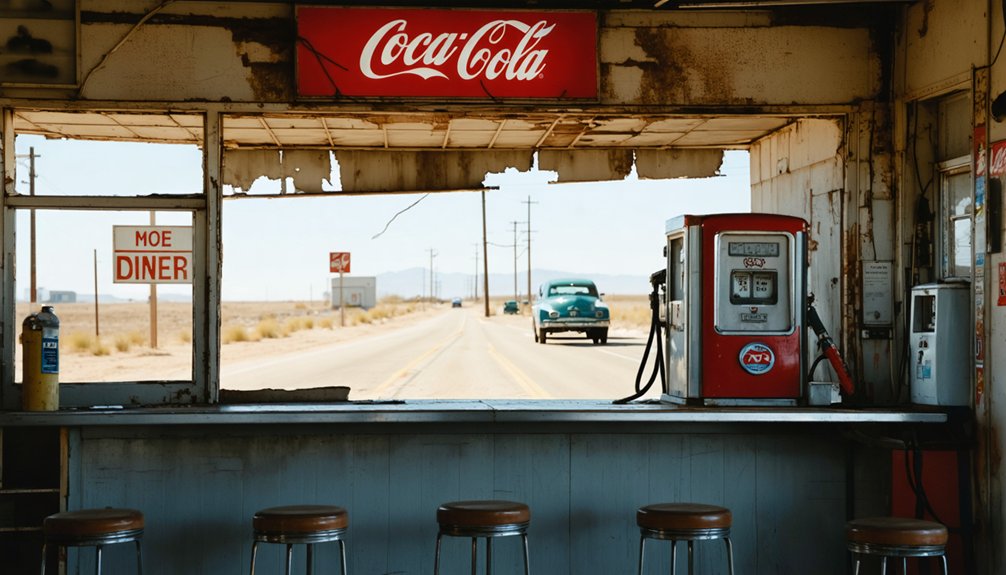
Mojave Desert’s Forgotten Highway Communities
Five ghost towns dot the Mojave Desert along the I-40 corridor, each marking where thriving highway communities once served travelers on the historic Route 66.
You’ll discover Goffs history begins as an early 1900s railroad siding that later featured stores and schools during Route 66’s golden era.
Essex relics include a decaying post office and gas station beneath I-40 overpasses, while Ludlow decline followed two economic collapses—first from mining’s end, then I-40’s bypass.
Kelso structures represent a 1905 railroad depot town with vacant buildings in today’s Mojave National Preserve. These communities required four-wheel-drive access to reach some of the most remote mining settlements that dotted the surrounding mountain ranges.
Chambless restoration efforts continue at the former traveler station that died overnight when I-40 opened in 1973, though its cafe survived into the 1990s. These communities became crucial stopping points for Dust Bowl migrants fleeing economic hardship in the 1930s.
Amboy and Roy’s Motel: Preserved Roadside Relics
You’ll find Roy’s Motel & Café stands as California’s most photographed roadside relic, its 1959 boomerang neon sign and Googie architecture frozen in time since Route 66’s heyday.
When Interstate 40 opened in 1972 and diverted traffic away from this Mojave Desert outpost, Roy’s business collapsed overnight, transforming a thriving waystation into an iconic ghost town. The town’s post office continues operating today despite the absence of any residential homes in Amboy.
Since 2005, private owner Albert Okura has undertaken restoration efforts to preserve Roy’s Mid-Century Modern styling, ensuring this National Trails Highway landmark continues attracting filmmakers, photographers, and heritage tourists decades after its commercial decline. The property originally began as a gas station in 1938 before expanding into the full motel and cafe complex that became a cornerstone of Route 66 travel.
Roy’s Iconic Architecture
While countless roadside establishments have vanished from America’s highways, Roy’s Motel and Café stands as a remarkably intact tribute to mid-century roadside architecture.
You’ll discover the 1959 reception building showcases classic googie architecture with its exaggerated pitched roof and expansive glass curtain wall—design elements that transformed Roy Crowl’s original 1938 garage into a modernist roadside beacon.
The complex’s crown jewel remains its 50-foot neon signs that pierced the Mojave darkness for decades.
These bold markers guided countless Route 66 travelers toward Roy’s mixed-use compound of service station, café, and motel cabins.
The architectural evolution from utilitarian garage to googie showpiece reflects America’s post-war embrace of automobile culture, where eye-catching design meant survival in the competitive roadside marketplace. At its peak, this roadside empire employed seventy people around the clock, serving as a bustling oasis for travelers crossing the desert. Today, visitors can explore over 40 bottled soda varieties at this preserved roadside attraction that continues to welcome Route 66 enthusiasts.
Tourism Preservation Efforts
After Roy’s fell into foreclosure in February 2005, the property’s fate hung in the balance until Albert Okura stepped forward with a $425,000 cash offer that secured not just the iconic motel and café, but the entire 950-acre town of Amboy.
This Southern California preservationist brought essential experience from his Original McDonald’s Museum project, envisioning Amboy’s restoration as a nostalgic Route 66 destination. The site exemplifies distinctive Googie architecture with its geometric shapes and the famous 50-foot neon sign that defined mid-century roadside culture.
Current preservation efforts rely heavily on community involvement and innovative preservation funding approaches:
- 2013 Kickstarter campaign targeting neon sign restoration through the Amboy Foundation of Art
- Motel transformation into artist retreat space offering desert solitude for creative inspiration
- Visitor-supported initiatives maintaining operational café and gas station elements
- Hollywood partnerships generating revenue through film, music video, and commercial productions
Amboy’s decline began when Interstate 40 diverted traffic away from the historic Route 66, causing business to plummet dramatically.
You’ll find this privately-owned preservation project accessible via National Trails Highway detour off I-40.
Border Towns of New Mexico and Texas
Along the New Mexico-Texas border, two ghost towns demonstrate how interstate construction devastated once-thriving Route 66 communities.
You’ll find Glenrio straddling the state line at I-40 Exit 0, where its history began in 1903 with railroad arrival. By 1920, this border town boasted hotels, stores, and the famous State Line Bar built in 1935.
The I-40 bypass in the 1970s killed its economy despite expectations of benefit. Glenrio’s unique position created contrasting laws where alcohol sales occurred on the New Mexico side while gas stations operated on the Texas side due to lower prices.
Cuervo’s population peaked at 300 in the early 1940s before I-40 construction literally split the town in half during the late 1960s. The name “Cuervo” translates to raven or crow in Spanish.
You can still see how the highway buried part of this community between Albuquerque and Santa Rosa.
Both towns lost their tourism lifeblood when travelers abandoned Route 66 for faster interstate travel.
Two Guns and the Petrified Forest Corridor
You’ll find Two Guns perched on Canyon Diablo‘s eastern rim, where entrepreneurs like Harry E. Miller transformed a tragic 1878 massacre site into Route 66‘s most macabre roadside attraction.
The Apache Death Cave became the centerpiece of Miller’s tourist complex in the 1920s, complete with electric lighting, wooden walkways, and sensationalized tours that drew travelers along the National Old Trails Highway.
Today’s stone ruins and crumbling infrastructure mark where this desert outpost capitalized on frontier violence before Interstate 40’s construction sealed its abandonment.
Apache Death Cave History
While Two Guns sits abandoned along the dusty stretch of Old Route 66 between Flagstaff and Winslow, its most notorious attraction remains the Apache Death Cave—a limestone fissure carved into the canyon floor of the Little Colorado River corridor.
According to traditional Apache narratives, forty-two Apache raiders died here in June 1878 when Navajo warriors trapped them underground and used smoke to asphyxiate those inside.
However, you’ll find the historical record complicated by tourism-era embellishment and limited cave archaeology:
- No peer-reviewed archaeological excavations have confirmed the reported body count
- Primary documentary evidence from 1878 remains uncited in popular accounts
- Claims of displayed human remains likely originated with roadside promoters
- The site blends genuine historical events with Route 66-era commercial storytelling
Today’s crumbling walkways and stone ruins reflect this complex legacy.
Tourist Complex Ruins
Before Route 66 transformed this remote canyon crossing into a roadside spectacle, Ed Randolph had established a simple store beside the Apache Death Cave to serve travelers along the National Old Trails Highway.
You’ll find remnants of Harry Miller’s 1925 tourist empire scattered across the windswept terrain—crumbling zoo cages that once held mountain lions and Gila monsters, the skeletal remains of his fake Hopi ruins, and concrete foundations where his gift shop attracted thousands of motorists.
The abandoned attractions you see today represent decades of boom-and-bust cycles that define American roadside history.
Fire repeatedly destroyed ambitious revival attempts, including Benjamin Dreher’s 1960s complex with its motel and restaurant.
These photogenic ruins continue drawing curious travelers seeking authentic Route 66 decay.
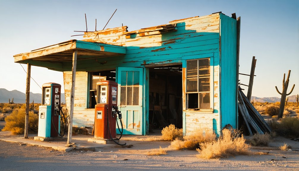
How Interstate Bypass Created Modern Ghost Towns
When Interstate 40 opened through the American Southwest during the 1960s and 1970s, it systematically redirected traffic away from established communities that had thrived along older highway routes like Route 66.
These bypass consequences created immediate economic decline for towns that couldn’t adapt to suddenly losing their lifeblood of through-traffic.
You’ll find that the transformation from thriving communities to modern ghost towns followed predictable patterns:
- Revenue collapse – Motels, diners, and gas stations lost customers overnight when I-40 rerouted traffic miles away from town centers.
- Population exodus – Working-age residents fled after local businesses closed, leaving behind aging populations and empty housing.
- Infrastructure decay – Reduced tax bases couldn’t maintain municipal services, accelerating deterioration.
- Cultural erasure – Roadside heritage like neon signs and motor courts vanished with their economic foundation.
Planning Your Visit: Access and Safety Guidelines
Exploring these abandoned settlements requires careful preparation, as the same remote locations that led to their decline now present logistical challenges for modern visitors.
Access routes typically involve I-40 exits leading to frontage roads or remnants of old US-66, though some sites require travel on unpaved county roads. You’ll need GPS coordinates and paper maps since cell service remains unreliable across desert stretches.
Essential safety precautions include carrying extra water, fuel, and emergency supplies for potential breakdowns in remote areas.
Check land ownership before visiting—many ghost towns sit on private property where trespass laws apply strictly. Federal lands may require permits, while protected cultural sites prohibit artifact collection.
Avoid entering deteriorating structures due to collapse risks, exposed hazards, and potential asbestos. Travel with companions and file itineraries given limited emergency response coverage.
Photography and Documentation Best Practices
Since ghost towns present unique lighting challenges and delicate historical subjects, you’ll need specialized photography techniques that respect these fragile environments while capturing their haunting essence.
Your photographic techniques should emphasize natural lighting during golden hours and blue hour for atmospheric tones. Use wide-angle lenses to establish town overviews, then switch to 50-100mm focal lengths for detailed documentation of artifacts like old cars, furniture, and architectural elements. Long exposures from seconds to 30 seconds capture cloud movement and create surreal effects in dim interiors.
Essential documentation methods include:
- Target key structures: jails, saloons, schools, churches, hotels, banks
- Focus on authentic artifacts: tools, bottles, curtains, vintage signage
- Capture architectural details: windows, doors, ornamental features, weathered surfaces
- Research location access requirements and tripod allowances beforehand
Frequently Asked Questions
Are There Any Ghost Towns Along I-40 That Still Have Running Water?
You’ll find few authentic ghost towns along I-40 with reliable water source reliability. Most abandoned structures lack functioning municipal systems, though some tourist-oriented businesses maintain ghost town amenities separately from the original ruins.
Exploring abandoned places near I70 highway reveals remnants of history tucked away from the hustle of modern life. These forgotten locations often tell stories of once-thriving communities, where visitors can imagine the lives that once filled these now-silent spaces. Equally eerie and fascinating, they serve as a testament to the passage of time and the cycles of human habitation.
Which Ghost Towns Allow Overnight Camping or Have Nearby Campgrounds?
You’ll find starlit camping at Two Guns and Calico Ghost Town, both offering dispersed camping and formal campground amenities. Check camping regulations carefully—Jerome, Goldfield, and Petrified Forest areas provide nearby commercial RV parks for overnight freedom.
What’s the Best Time of Year to Visit Desert Ghost Towns?
Visit during shoulder seasons—March through May and September through November—when seasonal weather offers moderate temperatures and cooler nights, providing ideal conditions for safe exploration and best photography without extreme heat risks.
Are There Guided Tours Available for I-40 Ghost Town Exploration?
Like pathfinders charting forgotten territories, you’ll discover specialized tour companies offering guided exploration along I-40’s abandoned settlements. Commercial outfitters run day trips from gateway cities, while historical societies provide seasonal walks through Route 66’s ghostly remnants.
Which Ghost Towns Have the Most Intact Original Buildings Still Standing?
Glenrio and Amboy offer you the most intact historic architecture, with seventeen preserved buildings and Roy’s Motel respectively. These sites benefit from dedicated preservation efforts maintaining their original Route 66-era structures.
References
- https://www.legendsofamerica.com/ca-mojaveghosttowns/
- https://www.youtube.com/watch?v=xeJcL3Q8m7A
- https://azdot.gov/adot-blog/two-guns-sordid-history-i-40
- https://artsandculture.google.com/story/7-ghost-towns-on-route-66-national-trust-for-historic-preservation/YAVR-Hg8Tq4gdg?hl=en
- https://usghostadventures.com/americas-most-haunted-trending/ghost-towns-to-visit-on-your-summer-road-trip-along-route-66/
- https://www.newmexico.org/places-to-visit/ghost-towns/
- https://patternenergy.com/ghost-town-cuervo-new-mexico/
- https://savingplaces.org/guides/ghost-towns-on-route-66
- https://www.desertusa.com/desert-nevada/nevada-ghost-towns1.html
- https://www.pbssocal.org/shows/socal-wanderer/where-to-find-the-mojaves-greatest-ghost-towns


