You’ll find several ghost towns within 100 miles of Roswell, most shaped by the agricultural collapse of the 1930s-1940s. Acme and Frazier, twin gypsum-era settlements in Chaves County, preserve stone walls and foundations from their early 1900s peak. Farther east near the Texas-Oklahoma borders, Causey, Wheatland, and Amistad mark where Dust Bowl storms destroyed farming communities. Blackdom represents New Mexico’s unique all-Black frontier colony. Each site offers accessible ruins along rural roads, though conditions vary—and there’s far more to these stories than crumbling structures suggest.
Key Takeaways
- Acme and Frazier are twin ghost towns near Roswell, featuring preserved stone structures from early 1900s gypsum operations.
- Blackdom, an all-Black colony settlement, represents a unique historical site challenging frontier segregation near the Roswell area.
- Eastern New Mexico ghost towns differ from western mining ruins, with scattered foundations and cemeteries marking former communities.
- Mild winters and low humidity preserve remaining structures including stone walls, school buildings, and industrial debris.
- Access to sites requires navigating rural roads, with varying conditions and deteriorating structures requiring visitor caution.
Acme and Frazier: The Twin Ghosts of Chaves County
Seventeen miles northeast of Roswell, where the Clovis Highway cuts across the open plains of Chaves County, the Acme Gypsum Cement Company established its mill in the early 1900s and transformed a stretch of mesquite-dotted rangeland into an industrial outpost.
The company town peaked between 1905 and the late 1930s, shipping cement blocks regionally before economic decline emptied the settlement. Nearby, Frazier developed as a paired community, and Acme history intertwines with its agricultural neighbor.
Frazier architecture showcased resourceful construction—the schoolhouse rose from local stone with black volcanic rock framing windows and doors, while a white stone star crowned the entrance. The mild winters and low humidity of the region have aided in preserving what remains of these structures against the relentless passage of time.
The Acme School began operation in 1907 in a tent before a permanent structure was built. You’ll find scattered foundations and industrial debris today, accessible via rural roads, marking where these twin ghosts once thrived beyond bureaucratic reach.
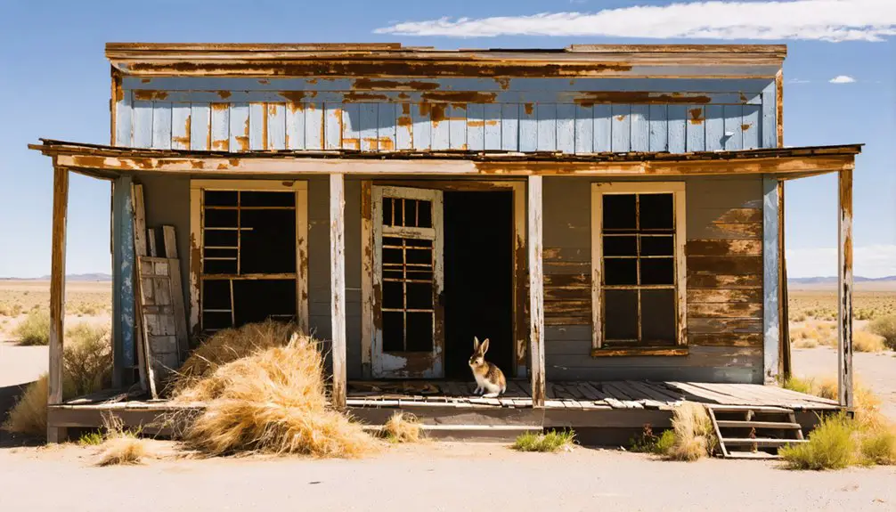
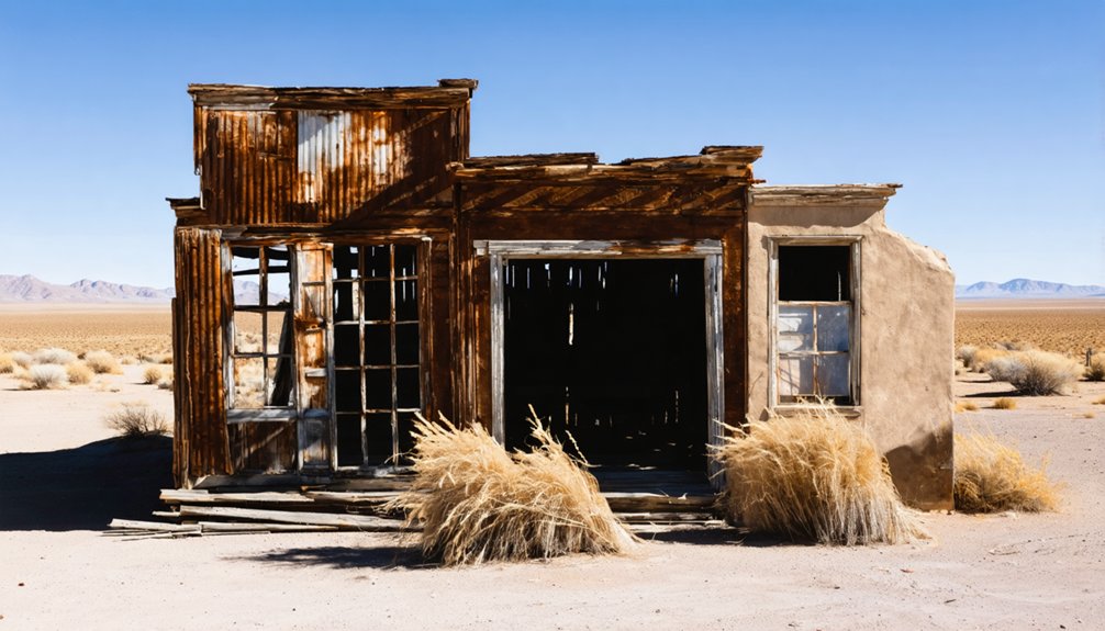
What Remains: Stone Walls, Cemeteries, and Rural Ruins
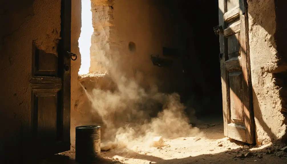
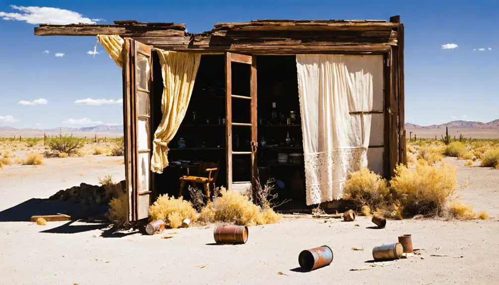
Beyond Roswell’s orbit, the ghost towns of Chaves and neighboring counties survive as field ruins—stone walls open to the sky, cemeteries sheltered by tamarisk and Russian olive, and the skeletal frames of schools and ranch houses slowly collapsing into caliche hardpan.
You’ll find Elkins’s scattered stone foundations thirty-seven miles northeast, marked by windmills rusting beside family burial plots.
Yeso’s roofless buildings stand along US 60, their commercial fronts framing a small cemetery where iron surrounds guard early settlers.
Along Highway 60, roofless facades frame a forgotten cemetery where iron fences still stand watch over pioneer graves.
In the Causey-Wheatland corridor, concrete schoolhouse bases and derelict churches punctuate active fields, their adjoining graveyards documenting Dust Bowl exodus.
Duran, established when the El Paso & Northeastern Railroad arrived, grew as a water source for railroad crews before declining into the scattered remains visible today.
Occasional cemetery restoration efforts by descendants preserve these sites, but most remain semi-abandoned—headstones tilting, fences down, names weathering into illegibility across the High Plains grassland.
Along the Texas-New Mexico border, Glenrio stands as another Route 66 ghost town, its diners and motels abandoned since the highway’s heyday in the 1940s and 1950s.
The Agricultural Collapse That Emptied Southeastern New Mexico
The ghost towns scattered across Chaves County didn’t empty overnight—they bled population through a decade of compounding agricultural disasters that began with the Dust Bowl and persisted long after the rains returned.
Severe drought effects extended into southeastern New Mexico during the 1930s, killing entire bean and grain crops while destroying over 75% of topsoil in affected counties.
You’ll find farmland values collapsed to $4.95 per acre—the nation’s lowest—triggering widespread foreclosures and forced sales.
Poor farming techniques from the 1920s expansion onto submarginal plains had already depleted soils before drought arrived.
When commodity prices dropped to half their 1929 levels, small operators couldn’t survive.
Large ranches bought up failed homesteads through tax sales, consolidating acreage and erasing the farm families who’d built those now-abandoned communities.
The displacement reached its peak when tens of thousands of families abandoned their farms entirely, unable to pay mortgages or coax any crops from the devastated soil.
Ranchers faced similar pressures as declining beef demand reduced cattle numbers across the region, forcing many to fall behind on property taxes.
Exploring Ghost Towns on the Eastern Plains: Access and Preservation
While miners’ cabins and smelter ruins draw ghost town enthusiasts to New Mexico’s western mountains, the eastern plains conceal a different category of abandonment—agricultural settlements that dissolved into prairie grassland with minimal structural remnants.
The search for ghost towns near Silver City reveals intriguing tales of once-thriving communities that succumbed to the passage of time. Among them are remnants of old storefronts and crumbling homesteads that tell stories of the pioneers who sought fortune and stability. Exploring these sites offers a glimpse into the resilience and challenges faced by settlers in a harsh landscape.
Unlike the dramatic ruins of mining districts, these eastern settlements returned to grassland with scarcely a trace of their existence.
You’ll find Causey, Wheatland, and Amistad near the Texas-Oklahoma borders, where Dust Bowl economics erased communities more thoroughly than any mine closure.
Accessing these sites requires traversing Old Route 66 corridors east of Tucumcari. Cuervo maintains multiple buildings, though squatting and vandalism compromise visitor safety.
Glenrio’s 1903 railroad structures sit on private property at the state line. The town’s decline began after the railroad closed in 1955, marking the end of its role as a transportation hub. Road conditions vary greatly across High Plains locations.
You’ll encounter zero cell service, deteriorating structures requiring extreme caution, and property boundaries limiting exploration. Unlike western mining camps, these settlements declined along old rail lines as transportation routes shifted and agricultural economies collapsed.
These aren’t tourist destinations—they’re historical voids where foundations and cemetery stones mark vanished aspirations.
Beyond Roswell: Other Abandoned Settlements in the Region
Radiating outward from Roswell’s UFO-tourism infrastructure, southeastern New Mexico’s ghost settlements trace agricultural ambition and racial pioneering across landscapes now returned to prairie.
You’ll find Blackdom’s historical significance twenty miles south—Francis Marion Boyer’s early 1900s all-Black colony challenged frontier segregation through dryland homesteading before drought erased its utopian vision.
Twin villages Acme and Frazier stand as gypsum-era relics, their stone foundations marking Pecos Valley industry now silent.
Along US 60, Yeso’s 1906 railroad depot closed in 1968, abandoning 350 residents’ community stories to desert winds.
Near the Texas line, Causey, Wheatland, and Amistad collapsed under Dust Bowl storms—their ranching economies scattered when topsoil blew east.
Each site offers unmediated access to economic failure’s archaeological record.
Frequently Asked Questions
Are Ghost Town Tours Available From Roswell to Acme and Frazier?
No commercial tour operators currently offer guided ghost town attractions from Roswell to Acme and Frazier. You’ll need to chart your own route—think pioneer, not passenger—using archival maps and a reliable vehicle for these remote, self-guided explorations.
Can You Legally Visit and Photograph Ruins on Private Land?
You can’t legally visit or photograph ruins on private land without the owner’s permission. Entering posted property carries serious legal ramifications, and New Mexico’s property rights laws protect landowners even when structures appear abandoned.
What Should I Bring When Exploring Remote Ghost Town Sites?
You’ll need sturdy boots, navigation tools, and ample water—essential safety tips for desert exploration. Don’t forget photography equipment like extra batteries and lens cloths, since these abandoned settlements won’t preserve themselves forever.
Are There Maps Showing Exact Locations of These Ghost Towns?
You’ll find exact coordinates through UNM’s EDAC dataset and RGIS portal, which catalog ghost town history with precision GPS data. Tourism maps offer approximate locations, but serious mapping resources require cross-referencing archival records with GIS tools for genuine exploration freedom.
How Far Are Acme and Frazier From Downtown Roswell?
You’ll find Acme sits about 18 miles northeast of downtown Roswell—roughly 20–25 minutes by travel routes. Frazier’s distance measurement remains harder to pin down; archival research suggests it’s likely within 20–40 miles, though exact coordinates need verification.
References
- https://ruidoso.com/ghost-towns-of-new-mexico/
- https://www.newmexicoghosttowns.net/counties
- https://www.newmexico.org/places-to-visit/ghost-towns/
- https://www.youtube.com/watch?v=wryDZHbHna0
- https://www.newmexicomagazine.org/blog/post/abandoned-ghost-towns-new-mexico/
- https://nmplates.com/NewMexicoTowns.htm
- https://www.newmexico.org/places-to-visit/ghost-towns/map/
- https://en.wikipedia.org/wiki/List_of_ghost_towns_in_New_Mexico
- https://cityofdust.blogspot.com/2016/03/a-tale-of-two-towns-acme-frazier-nm.html
- https://www.ghosttowns.com/states/nm/highlonesome.html