Warren, California, Alameda County is a ghost town that whispers tales of its once-thriving community, now a shadow of its former self. Below is detailed information about the town.
County: Alameda County
Zip Code: Not available
Latitude / Longitude: 35°06′49″N 118°12′18″W
Elevation: 3,317 ft (1,011 m)
Time Zone: Pacific Time Zone (PT)
Established: Not available
Disestablished: Not available
Comments: Warren, California, is an intriguing ghost town in Alameda County, known primarily through its scarce historical records and maps. While detailed historical narratives are sparse, Warren likely served as a small settlement or community during significant growth and development in California, particularly during the late 19th and early 20th centuries.
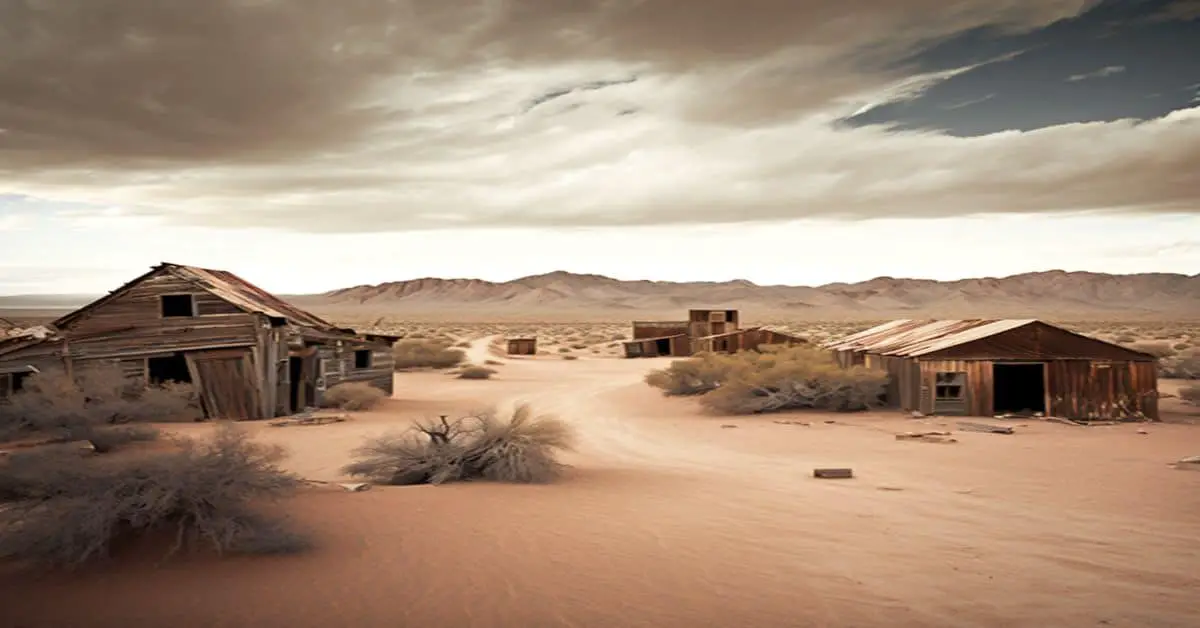
Remains: It was located on the Union Pacific Railroad en route to Searles, California, 4 miles (6.4 km) north-northwest of Mojave, in the Mojave Desert. At an elevation of 3317 ft (1011 m).
Current Status: Warren is a ghost town with no significant remaining structures or active community. It exists largely in historical records and the memories of those who once lived in or near the area. Warren still appeared on maps as of 1947.
Remarks: Warren’s lack of extensive historical documentation makes it a mystery, inviting historians and adventurers alike to piece together its past. Its scarcity of information adds to its allure for those interested in the forgotten corners of California’s history.