You won’t find literal ghost towns beneath Hawaii’s waves, but over 2,100 submerged cultural resources document centuries of coastal abandonment. Tsunamis—particularly the 1946 event with 45-foot surges—destroyed settlements like those in Waipi’o Valley, while volcanic flows buried communities including Kalapana and Kaimu. Archaeological evidence reveals submerged fishponds, sugar plantation infrastructure (like Keomuku’s failed Maunalei operation), and tsunami deposits rather than intact settlements. Most “underwater ruins” are natural volcanic formations, though genuine relics preserve Hawaii’s struggle against environmental forces that continue reshaping its archaeological landscape.
Key Takeaways
- Hawaii has no scientifically confirmed underwater ghost towns; most submerged features are natural volcanic formations, not human settlements.
- NOAA documents over 2,100 submerged cultural resources including ancient fishponds, tsunami deposits, and volcanic flows spanning centuries.
- The 1946 tsunami destroyed coastal settlements with 45-foot waves, causing abandonment and leaving underwater relics across Hawaii’s islands.
- Volcanic eruptions buried towns like Kalapana and Kaimu under lava, while failed sugar plantations left submerged archaeological remnants.
- Environmental forces—tsunamis, eruptions, erosion—transformed abandoned coastal infrastructure into underwater archaeological sites, not actual ghost towns.
The Mystique of Hawaii’s Vanished Settlements
Beneath Hawaii’s coastal waters lies a layered archaeological record of settlement abandonment spanning over six centuries, where submerged fishpond systems, volcanic flows, and tsunami deposits preserve snapshots of pre-contact Hawaiian civilization. You’ll find ancient aquaculture installations like those at Kaloko-Honokohau, constructed 600 years ago as inland bays with engineered ditches.
These coastal settlements sustained communities through integrated resource management—fishponds paired with terrestrial cultivation of coconuts, sweet potatoes, and gourds. Within these prehistoric villages, inhabitants built their houses on lava rock platforms and sought shelter in naturally formed lava tubes. Volcanic archaeology reveals sudden abandonment events: the 1801 Houihoo flow entombed Kaupule beneath hardened basalt, while Kalapana faced destruction twice—1960 and 2018.
NOAA’s thorough survey documented over 2,100 submerged cultural resources, creating an underwater heritage inventory where you can trace the intersection of human adaptation and geological violence that shaped Hawaiian settlement patterns. These submerged sites serve as an underwater history museum waiting to be discovered, with many stories lost due to the nature of maritime travel and limited written records.
Wai Opae: Ancient Shrimp Farming Pools of Kekaha Kai
Among Hawaii’s most specialized aquaculture systems, anchialine pools—locally termed Wai Opae or loko ‘ōpae—represent brackish water bodies that maintain subterranean connections to the ocean while remaining landlocked at the surface. These lava pools formed in pahoehoe crevices along Kekaha Kai‘s western coastline, where freshwater mixes with seawater through underground passages.
Ancient aquaculture operations cultivated eight distinct shrimp species here, mainly Halocaridina rubra—the endemic ‘ōpae’ula. These half-inch crustaceans demonstrate remarkable resilience, tolerating variable salinity while inhabiting dark volcanic crevices for up to 20 years.
You’ll find genetically distinct populations filtering algae and plankton throughout these pools. Contemporary threats include invasive tilapia predation, habitat degradation, and unauthorized collection—activities now prohibited. The Big Island hosts Earth’s highest concentration of these ecosystems, found nowhere else in America’s territorial waters. These tidepools function as protected zones for marine ecosystems, supporting diverse species growth in shallow waters that typically measure around four feet or less depending on tidal conditions. The ecosystem benefits from excellent water circulation driven by northeast tradewind swells that maintain healthy conditions for coral and fish populations.
Pu’uhonua O Honaunau: Preserved Remnants of Sacred Refuge
The pre-contact Hawaiian kapu system established pu’uhonua—designated sanctuary zones where individuals who violated sacred laws could escape capital punishment through religious absolution.
At Hōnaunau, you’ll find evolutionary preservation of this refuge function through 965 feet of precisely constructed lava-rock walls enclosing 420 acres.
Commoners accessed sanctuary by swimming Hōnaunau Bay, circumventing the kapu-restricted royal grounds.
The reconstructed Hale o Keawe temple exemplifies the site’s cultural significance: it housed bones of 23 aliʻi, their mana sanctifying the refuge until kapu abolition in 1819.
High Chiefess Kapiʻolani dismantled the structure in 1829 after relocating remains to Pali Kapu O Keōua cliffs.
The original temple, built around 1650, functioned as a royal mausoleum before 19th-century tsunamis damaged the wooden structures, leaving only the stone platform intact.
Today’s National Historical Park displays authentic kiʻi carvings and traditional architecture, maintaining its wahi pana designation as sacred Hawaiian territory.
The park received over 421,027 visitors in 2016, demonstrating its enduring significance as both a cultural landmark and educational destination.
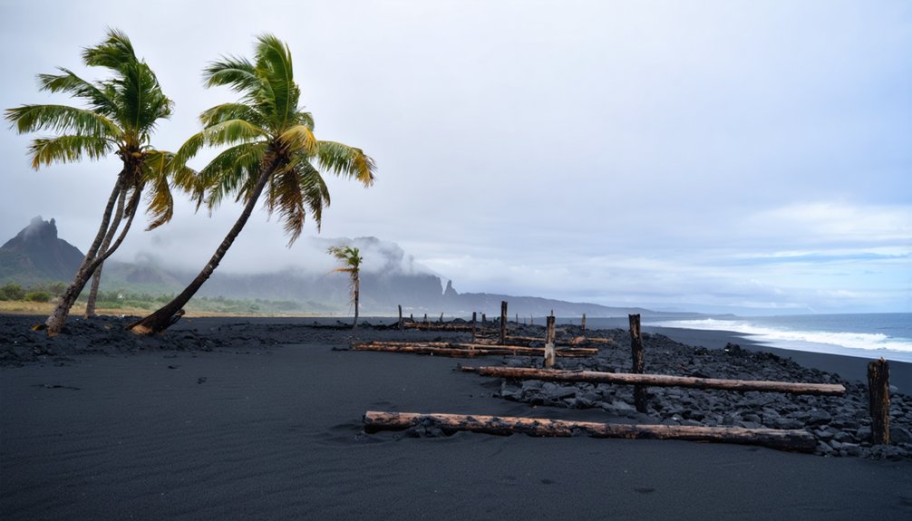
Waipi’o Valley: The Tsunami That Changed Everything
Before April 1, 1946, Waipi’o Valley sustained a population exceeding 10,000 Hawaiians who’d inhabited the region for over 1,000 years, establishing agricultural systems, religious structures, and educational facilities.
The 8.6-magnitude Aleutian Islands earthquake generated tsunami waves that propagated at 500 mph, reaching 45 feet in height and obliterating valley infrastructure including churches, stores, and schools.
You’ll find that despite causing 159 deaths statewide and $26 million in damages, the disaster permanently displaced Waipi’o’s residents and reduced the population from thousands to approximately 50 individuals today. The valley had supported extensive taro cultivation on 800 acres, which historically sustained over 30,000 Hawaiians before the tsunami forced residents to relocate upland. The tragedy at Laupahoehoe swept away an entire classroom of students along with three teachers, marking one of the tsunami’s most devastating losses.
Valley’s Thriving Past
Waipi’o Valley likely served as one of Hawai’i’s earliest settlements, with archaeological evidence suggesting initial habitation between 0-600 A.D. Ancient agriculture transformed this landscape into a powerhouse of productivity, with 800 acres of wetland taro covering the valley floor and terraces extending into side valleys like Hi’ilawe and Waima.
Total cultivation reached 1,280 acres, supporting an estimated 30,000 people through intensive farming of taro, bananas, and sugar cane.
Coastal settlements thrived under the governance of ruling ali’i who recognized the valley’s exceptional mana. Chief ‘Umi-a-Liloa himself worked taro patches here, establishing it as a royal residence. By the 1700s, about 5,000 Hawaiians inhabited the valley, sustaining themselves through farming and fishing.
The valley’s broad, flat floors resulted from sediment infilling shaped by stream erosion, subsidence, and tsunami deposits over hundreds of thousands of years.
1946 Tsunami Destruction
On April 1, 1946, an 8.6-magnitude earthquake ruptured the seafloor off Alaska’s Aleutian Islands, generating tsunami waves that propagated across the Pacific at 500 mph. The destruction transformed Waipi’o Valley’s landscape through catastrophic inundation and tsunami sedimentation that buried entire communities.
Wave Impact Documentation:
- Near-source waves exceeded 100 feet at Unimak Island, obliterating Scotch Cap lighthouse at 90-foot elevation.
- Kauai experienced 45-foot waves; Hilo registered 37-foot surges approximately one hour later.
- Multiple wave trains struck at 15-minute intervals, with third or fourth waves causing maximum destruction.
- Laupahoehoe Peninsula lost 25 students and three teachers to surge inundation.
- Total damages reached $26 million (1946), equivalent to $411 million today.
Valley infrastructure vanished beneath sediment deposits, creating underwater archaeology sites. Most residents abandoned the devastated settlement permanently.
How Natural Disasters Shaped Hawaiian Ghost Towns
Natural disasters have repeatedly transformed thriving Hawaiian communities into abandoned landscapes through catastrophic geological and meteorological events.
Hawaii’s once-flourishing towns now stand empty, erased by the islands’ violent geological forces and devastating storms.
You’ll find volcano evolution patterns directly correlate with community displacement—Kīlauea’s Kūpaʻianahā vent obliterated Kaimū in 1990, while Kapoho suffered destruction twice, in 1960 and again when Fissure 8 devastated it in 2018.
Tsunami mitigation remained inadequate when the 1946 April Fool’s Day event generated 45-to-130-foot waves, likely triggered by underwater landslides that amplified seismic energy beyond predicted parameters.
Climate change intensifies vulnerability through wildfire susceptibility—non-native grasses from defunct plantations provided catastrophic fuel loads when Hurricane Dora‘s downslope winds accelerated Lahaina’s 2023 destruction.
Infrastructure collapse compounds displacement when economic restoration becomes unfeasible, permanently converting disaster zones into uninhabitable terrain where fractured roads terminate at solidified lava walls.
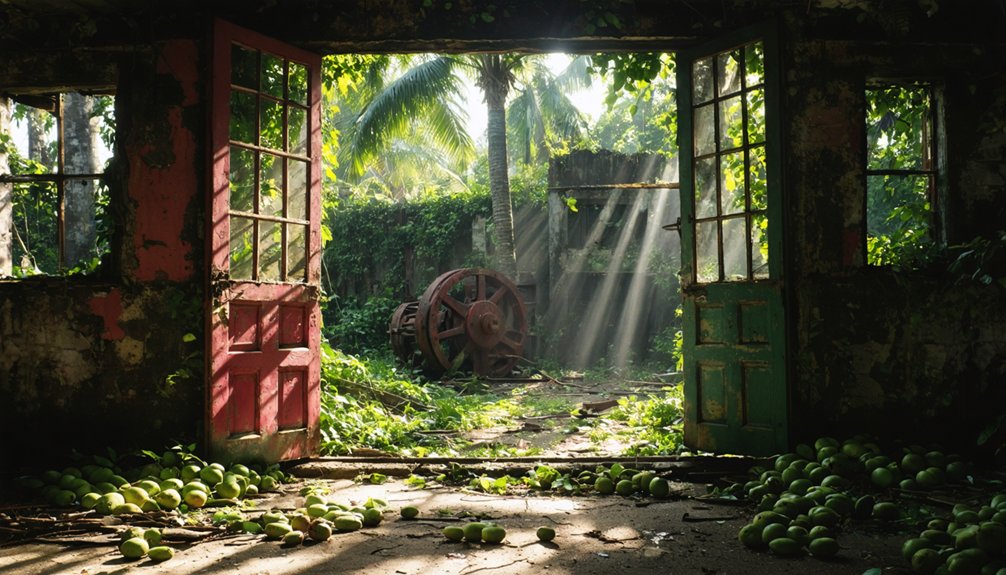
Maunalei: When Sugar’s Sweet Promise Turned Bitter
You’ll find that Maunalei Sugar Company’s operational lifespan barely exceeded two years (1899-1901) before catastrophic failures forced complete abandonment.
The workforce plummeted from 800 contracted laborers to merely 12 by March 1901, driven by saltwater intrusion compromising irrigation systems, plague outbreaks among Chinese workers, and economically unviable sugar content levels.
This precipitous collapse transformed Keomuku from a nascent industrial hub into an evacuated settlement, with the last resident departing for Lāna’i City in the 1950s.
Sugar Company’s Sudden Collapse
Although Maunalei Sugar Company’s formal incorporation in early 1899 promised economic revitalization for Lānaʻi’s diminished population of approximately 200 residents, the venture’s structural deficiencies became evident within months of operation.
The cascading failures that triggered bankruptcy by 1901 included:
- Hydrological catastrophe: Saltwater intrusion compromised the ancient aquifer, rendering irrigation systems ineffective for cultivating sugar cane
- Labor force collapse: Payroll plummeted from 800 contracted workers to merely 12 by March 1901
- Epidemic devastation: Bubonic plague outbreak among laborers forced mass exodus and operational cessation
- Agricultural inefficiency: Low sugar content in harvested cane eliminated profitability margins
- Environmental degradation: Coastal erosion and brackish well water accelerated abandonment
This corporate dissolution resulted in 70 worker fatalities during three years of operation, exemplifying industrial exploitation’s human cost.
Mass Exodus to Lanai
When Maunalei Sugar Company commenced operations in 1899, it catalyzed the most dramatic demographic transformation in Lānaʻi’s recorded history. It converted a pastoral island of 174-200 residents—outnumbered by approximately 50,000 sheep and substantial populations of feral goats, hogs, and wild turkeys—into an industrial settlement housing nearly 800 contracted laborers.
Japanese workers dominated this influx, supplemented by Chinese and Portuguese immigrants who received differential wages based on ethnicity. The company constructed housing, infrastructure including a church and schoolhouse, plus a narrow-gauge railroad connecting Keōmoku Village to Kahalepalaoa landing.
Today, marine archaeology reveals these submerged settlements along Lānaʻi’s northeast coast, where saltwater intrusion—whether divine retribution for desecrating Kahe’a heiau or hydrogeological inevitability—destroyed freshwater supplies and triggered complete abandonment by 1901.
Economic Ruins Left Behind
Despite meticulous capitalization planning that projected $1,000,000 in operational funding and required shareholders to deposit 10 percent upfront—expressly avoiding “wildcat” business practices—the Maunalei Sugar Company’s February 1899 incorporation represented economic ambition fatally disconnected from hydrogeological reality.
You’ll discover through marine archaeology and underwater mapping that Keōmoku’s economic collapse left tangible evidence of miscalculated resource extraction:
- Workforce plummeted from 800 contracted laborers to 38 by June 1900, then 12 by March 1901
- Saltwater intrusion compromised irrigation systems designed for Maunalei Valley’s water
- Only one operational well produced maximum two million gallons daily—insufficient for commercial sugar cultivation
- Shipping raw cane to Olowalu, Maui eliminated profitability margins
- Two-year operational window ended in 1901 bankruptcy
These infrastructural remnants document capitalism’s collision with environmental constraints.
Kualoa Sugar Plantation and Coastal Abandonment
Between 1863 and 1865, Charles Hastings Judd and Samuel G. Wilder constructed Oahu’s first major sugar mill at Kualoa. Wilder hand-laid the structure’s top brick layer, establishing what would become a short-lived operation.
Within a decade, irregular rainfall and insufficient water resources forced cessation of sugar production, transforming the facility into cattle ranching operations.
Inadequate rainfall and water scarcity ended sugar operations within ten years, converting the mill into ranching infrastructure.
Today, marine archaeology studies reveal how coastal erosion threatens the remaining 35-foot coral brick smokestack and mill ruins along Kamehameha Highway, half a mile south of Kaaawa.
These structures represent critical evidence of Hawaii’s industrial transformation. The site documents failed agricultural ventures that couldn’t sustain operations without adequate hydrological resources.
You’ll find this abandoned infrastructure demonstrates how environmental constraints determined economic viability in Hawaii’s plantation-era development.
The 1946 Tsunami’s Devastating Impact on Island Communities
The April 1, 1946 tsunami generated by a 7.3 magnitude earthquake near Unimak Island produced catastrophic infrastructure damage across Hawaii’s coastal settlements. Wave heights were amplified by underwater landslides and bathymetric focusing.
You’ll find that Waipi’o Valley’s agricultural infrastructure, including taro patches, irrigation systems, and residential structures, sustained severe destruction when successive wave trains inundated the low-lying valley floor.
This event triggered immediate mass displacement of valley residents, fundamentally altering centuries-old settlement patterns and effectively abandoning what had been a densely populated agricultural center.
Waipi’o Valley Infrastructure Destruction
When tsunami waves reached Waipi’o Valley on April 1, 1946, they encountered a thriving agricultural community whose infrastructure couldn’t withstand the hydraulic forces generated by the 8.6 magnitude Aleutian earthquake.
The succession of waves, traveling at 500 mph across the Pacific, systematically dismantled valley settlements through coastal erosion and catastrophic inundation.
Infrastructure Destruction Pattern:
- Multiple wave surges arriving 15 minutes apart demolished residential structures and agricultural facilities.
- Hydraulic impact forces exceeded structural load capacities of traditional Hawaiian architecture.
- Marine archaeology now reveals submerged foundations and displaced building materials.
- Transportation networks and irrigation systems sustained irreparable damage.
- The third wave generated maximum destructive force, permanently altering valley topography.
This hydraulic assault eliminated autonomous valley settlements, forcing survivors to abandon centuries-old communities.
Mass Population Displacement Afterward
Following the catastrophic inundation, 159 fatalities across the Hawaiian archipelago precipitated systematic population displacement from coastal settlements that had sustained multi-generational habitation.
You’ll find that 488 destroyed buildings and 936 damaged structures forced permanent relocations from low-lying areas where flooding exceeded 30 feet depth.
Communities hundreds of meters inland faced complete infrastructure loss, rendering homesteads uninhabitable.
The $26 million damage toll ($340 million adjusted) eliminated economic viability for coastal reconstruction.
Geographically isolated populations experienced extended evacuation periods, ultimately abandoning ancestral lands.
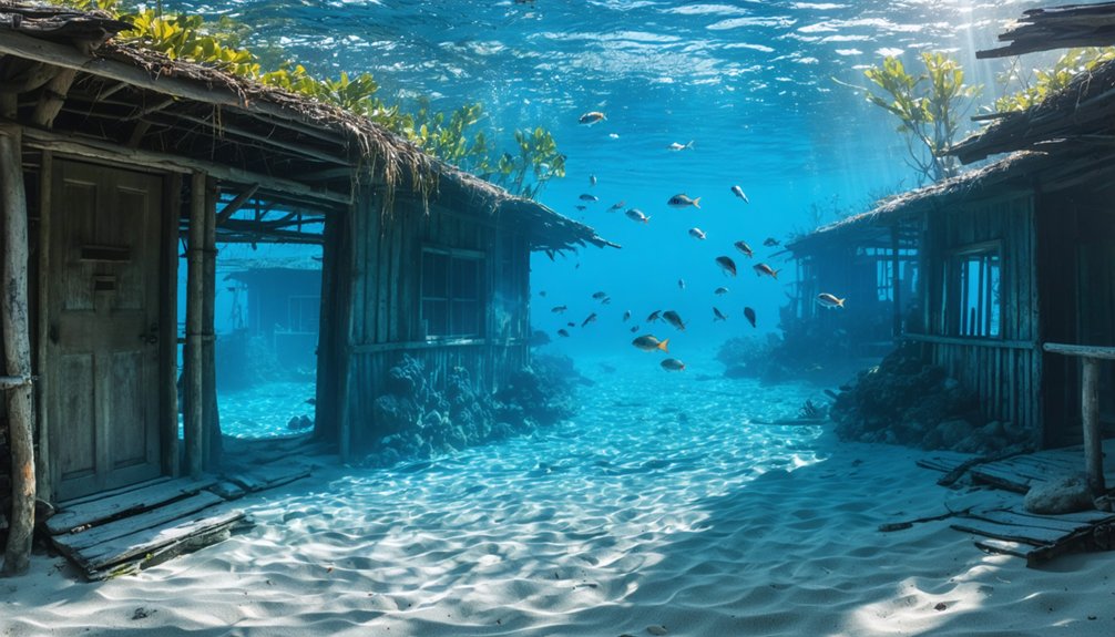
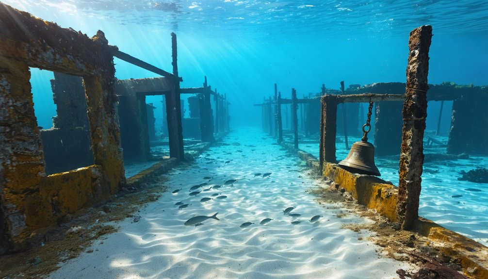
These displaced settlements now exist as sunken relics beneath subsequent development, creating unintentional underwater archaeology sites.
The mass exodus fundamentally restructured Hawaii’s demographic distribution, transforming once-thriving coastal villages into submerged ghost towns—physical evidence of nature’s capacity to reclaim human territory.
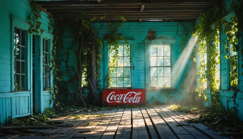
Exploring Big Island’s Forgotten Historic Sites
Beyond Hawaii’s thriving coastal resorts, Big Island’s landscape conceals numerous abandoned settlements that document significant geological and cultural disruptions spanning eight centuries.
Beneath tourist paradises lie ghost towns—stark monuments to centuries of volcanic fury and seismic devastation across Big Island’s fractured terrain.
You’ll discover distinct archaeological zones revealing systematic destruction:
- Kalapana burial zone – 180 structures entombed beneath 80 feet of basaltic flow (1983-1991), creating potential marine archaeological sites as lava extended coastline into coral reef ecosystems.
- Kaimu complete obliteration – 1990 Kūpaʻianahā vent flow eliminated entire settlement, fragmenting infrastructure at volcanic stone barriers.
- Waipi’o Valley depopulation – 1946 tsunami displaced 4,000-10,000 residents from six-mile coastal valley.
- Kaupule prehistoric coverage – 1801 Hu’ehu’i flow preserved early Hawaiian settlement patterns.
- Punalu’u seismic damage – 1975 earthquake generated 26-foot tsunami waves, compromising structural integrity.
These sites offer unrestricted access to Hawaii’s geological violence documented through abandoned infrastructure.
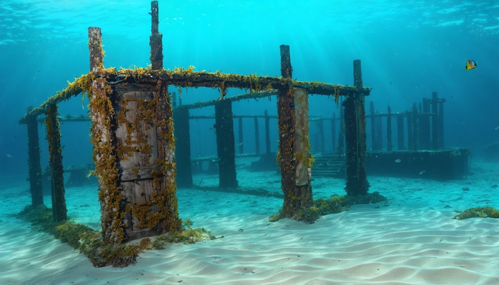
Separating Myth From Reality: Are There True Underwater Ghost Towns?
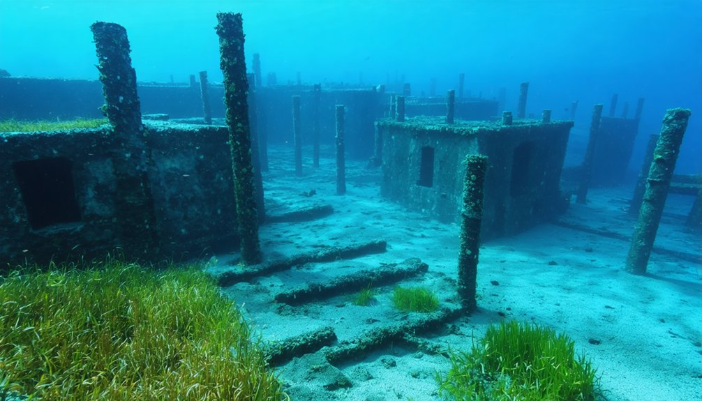
Despite widespread speculation fueled by sensational discoveries, systematic underwater surveys off Hawaii’s coast reveal no archaeological evidence of submerged human settlements or ghost towns. You’ll find the documented inventory comprises shipwrecks, volcanic formations, and potential aquifers—not ruins of abandoned villages.
The viral “yellow brick road” phenomenon originates from fractured hyaloclastite volcanic rock on Nootka Seamount, not artificial construction. Submersible investigations and electromagnetic imaging confirm natural geological processes rather than lost civilizations.
Marine conservation zones within Papahānaumokuākea Marine National Monument protect legitimate archaeological sites like WWII wrecks and indigenous cultural locations.
While public fascination conflates natural formations with underwater art installations or Atlantis-like structures, scientific expeditions employing photogrammetry and ROV technology consistently demonstrate these features’ volcanic origins.
The reality: Hawaii’s seafloor harbors extraordinary geological and historical treasures without requiring mythological embellishment.
Frequently Asked Questions
Can Tourists Visit Any of Hawaii’s Abandoned Underwater Settlements Today?
While you’d expect underwater photography opportunities at submerged Hawaiian settlements, no documented abandoned underwater towns exist for visitation. Hawaii’s ghost towns remain land-based, buried under lava or jungle. Marine conservation efforts focus on natural reefs, not archaeological dive sites.
In contrast, ghost towns in Rhode Island offer a glimpse into the past, showcasing the remnants of industrialization and community life. These forgotten places tell stories of prosperity and decline, inviting exploration for those interested in history. Unlike their counterparts in Hawaii, Rhode Island’s abandoned sites are rich with tales etched into crumbling buildings and overgrown landscapes.
What Artifacts Have Been Recovered From Tsunami-Submerged Hawaiian Communities?
You’ll find tsunami relics including warped household items, bent bicycle frames, and building fragments from 1946 and 1960 events. Ancient artifacts like submerged petroglyphs and Native Hawaiian cultural properties have been inventoried, though they’re not specifically tsunami-related.
Are There Diving Tours Available to Explore Submerged Hawaiian Ruins?
No commercial diving tours exist for submerged Hawaiian ruins—they’re fundamentally mythical creatures in tourism. You’ll find WWII wreck dives and underwater caves off Maui, but archaeological sites remain restricted to research teams conducting scientific documentation.
How Do Native Hawaiians View Modern Exploration of Their Ancestral Ghost Towns?
You’ll find Indigenous perspectives demand *infinitely* more reverence than casual curiosity allows. Cultural significance of ancestral sites requires you recognize sacred mana, spiritual protocols, and kuleana—these aren’t attractions but living connections to kūpuna deserving profound respect.
What Legal Protections Exist for Hawaii’s Underwater Archaeological Sites?
You’ll find Hawaii’s underwater sites protected through legal classification under Chapter 6E (properties over 50 years old) and federal laws. Protection measures include permits, archaeological assessments, civil penalties, and injunctions preventing unauthorized excavation or disturbance.
References
- https://nvtami.com/2023/04/26/big-island-hawaii-ghost-towns/
- https://avltoday.6amcity.com/remembering-judson-wncs-underwater-ghost-town
- https://www.mapquest.com/travel/underwater-ghost-town/
- https://www.youtube.com/watch?v=G4KxnK6FK-Y
- https://en.wikipedia.org/wiki/List_of_ghost_towns_in_Hawaii
- https://www.hawaiipublicradio.org/local-news/2018-03-12/the-unseen-landscape-hawai-is-underwater-history
- https://www.youtube.com/watch?v=fgRQT3tH6Q4
- https://www.youtube.com/watch?v=3tGSM9Xl-4M
- https://nautiluslive.org/video/2022/10/26/investigating-history-underwater-hawaii
- https://npshistory.com/publications/hawaii/greene/chap1.htm