You’ll find submerged villages beneath New Hampshire’s reservoirs, particularly Moore Reservoir and Franklin Falls Dam, where 1940s-50s hydroelectric projects deliberately flooded entire communities. Old Hill Village, relocated in 1941, left behind stone foundations, cellar holes, and relocated cemeteries that remain visible today along shorelines. The town of Hill moved 14 buildings on rails rather than scatter its residents, resulting in a 37.8% population decline. Modern preservation efforts include kayak tours, underwater photography permits, and archival documentation that reveal how these communities adapted to—and ultimately vanished beneath—engineered landscapes.
Key Takeaways
- Two villages submerged under Moore Reservoir in the 1950s feature visible stone walls, foundations, and cellar holes along shorelines.
- Old Hill Village flooded in 1937 beneath Franklin Falls Dam after cemeteries were relocated and 14 buildings moved uphill.
- Pattenville, a former mill village, was dismantled before flooding, leaving underwater cellar holes and industrial structure remnants.
- Rye’s Sunken Forest contains fossilized trees dating 3,600–4,000 years old, plus submerged stone foundations and brick powerhouses.
- Seasonal kayak tours, underwater photography permits, and winter exploration allow public access to these submerged historical sites.
The Lost Villages Beneath New Hampshire’s Reservoirs
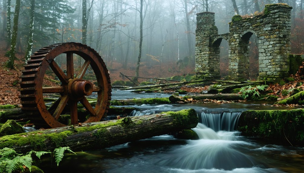
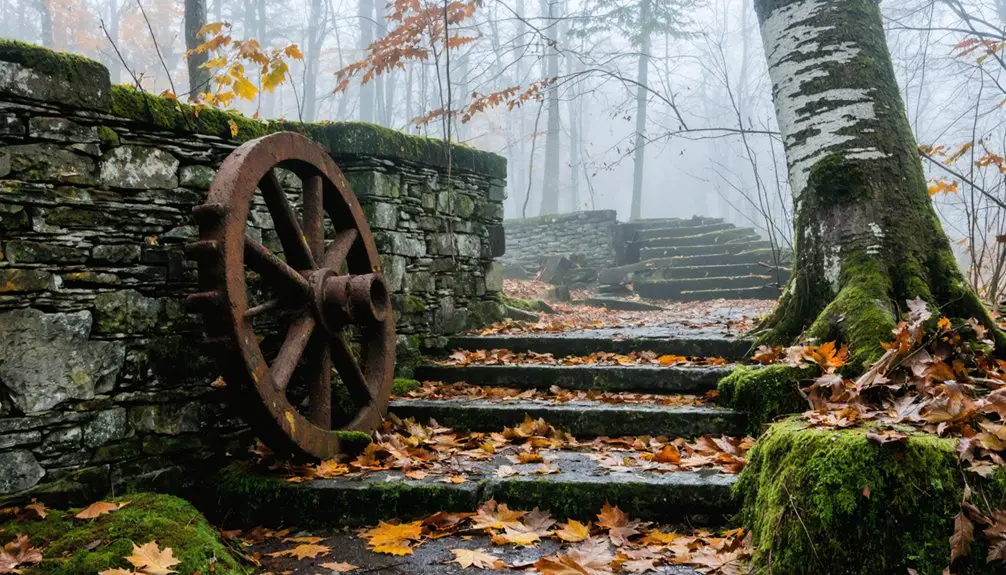
When hydroelectric and flood control projects transformed New Hampshire’s waterways in the mid-20th century, entire communities vanished beneath engineered reservoirs. You’ll find two villages submerged under Moore Reservoir after the 1950s dam construction—one on the New Hampshire side, another on Vermont’s. Stone walls from old roads plunge visibly into the water along shorelines.
Old Hill Village disappeared in 1937 beneath Franklin Falls Dam, a flood control reservoir on the Pemigewasset River. Built on floodplain ecology prone to spring flooding, the village sacrificed itself to protect Bristol. Before submersion, cemeteries relocated to higher ground, preserving the final resting places of former residents.
Water level management dictates when remnants surface—seasonal snowmelt raises depths, obscuring foundations and roads. Pattenville, a thriving mill village resembling a suburb of Littleton, was completely dismantled before flooding, leaving only cellar holes as evidence of its existence. These submerged landscapes preserve physical evidence of displacement, their stone walls and foundations enduring underwater while communities relocated rather than protested.
Dam Projects That Changed the Landscape Forever
As New England’s population surged through the early 20th century, engineering projects permanently altered the region’s hydrological systems through strategic dam construction. You’ll find Moore Dam flooded two border towns in the 1950s, while Quabbin’s Windsor Dam and Goodnough Dike displaced over 2,000 residents through eminent domain between 1933-1938.
Franklin Falls Dam exemplifies flood control infrastructure that sacrificed low-lying communities for downstream protection. Opening in 1943, the dam operates with gates typically left open to allow free river flow unless flood conditions arise, a design that transforms the valley into a controlled floodplain.
The ecological impact extends beyond human displacement. These reservoirs froze entire landscapes in time, preventing natural evolution while creating artificial ecosystems. Archaeological findings reveal the permanence of human settlement—stone walls line reservoir shores, cellar holes mark submerged homesteads, and debris fields scatter across former village sites.
You’ll discover old roads terminating abruptly at water’s edge, physical evidence of authorities’ power to reshape terrain and restrict your access to ancestral lands. The construction phase involved diversion tunnels that redirected river flows, allowing workers to build massive dam structures on dry ground before sealing the tunnels and permitting reservoir waters to gradually rise behind the newly completed barriers.
Moving an Entire Town: The Story of Hill, New Hampshire
Few communities demonstrate the federal government’s flood control authority more dramatically than Hill, New Hampshire, where residents voted to relocate their entire town rather than scatter across the region. When the Army Corps of Engineers proposed Franklin Falls Dam in 1937, they seized the flood-prone village that had endured devastating floods in 1875, 1916, 1936, 1938, and 1941.
The engineering challenges were substantial—moving entire structures to higher ground while maintaining community cohesion. Local community resilience proved remarkable: you’ll find townspeople chose collective relocation over individual property buyouts, funding the move of houses to a bluff above the floodplain. In 1941, workers transported 14 buildings on rails and by horses to establish the new village.
Though population dropped 37.8% between 1940 and 1950, Hill survived. Originally formed as New Chester in 1754, the settlement was incorporated in 1778 before being renamed Hill in 1837 to honor Governor Isaac Hill. Today, only cellar holes, rusted pipes, and relocated cemeteries mark the original site.
Relocating the Dead: Cemetery Transfers and Lost Graves
The physical relocation of Hill’s buildings represented only part of the community’s upheaval—the town’s dead also required careful exhumation and transfer from flood-threatened burial grounds.
Following federal seizure in 1937, officials relocated all bodies from Old Hill Village cemeteries before the 1941 Franklin Falls Dam reservoir flooded the original settlement.
The Hill Historical Society maintains extensive records documenting each relocated grave, preserving ancestral heritage despite governmental displacement. This cemetery preservation effort followed devastating floods in 1875, 1916, 1936, 1938, and 1941 that had already damaged lowland burial sites.
Officials documented the entire process in *Relocation of cemeteries – Hill, N.H. file no. 1305*.
Today, the original town center’s 1799 church and 1847 meeting house remain uphill, marking where relocated graves now rest above the reservoir’s reach. The 1938 hurricane that struck New Hampshire caused widespread tree damage across the state, complicating recovery efforts during this already tumultuous period. Ongoing erosion causes graves and remains to fall into nearby water bodies at other New Hampshire cemeteries, with dive teams recently recovering remains and headstones from the Baker River after it eroded into Rumney’s Immanuel Cemetery.
What Remains: Foundations, Stone Walls, and Underwater Ruins
Across New Hampshire’s landscape, abandoned settlements have left tangible archaeological footprints—from post-glacial tree stumps emerging at coastal low tides to industrial foundations reclaimed by White Mountain forests.
You’ll find Rye’s Sunken Forest where hemlock and cedar stumps pierce muddy sediments, their contorted roots preserved in thick peat—marine ecosystems now thriving where terrestrial forests once stood. The fossilized trees date back approximately 3,600–4,000 years, having reached around 100 years of age before submersion.
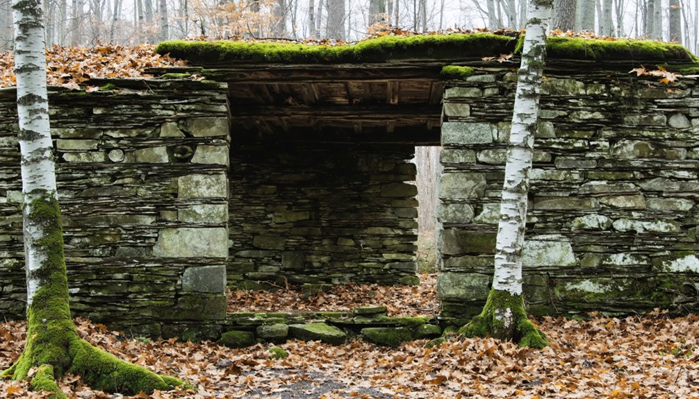
Livermore’s ghost town displays gray stone foundations: the schoolhouse corner jutting above roadway, cement mill remnants forming mossy mazes, and the dramatic red brick powerhouse rising through canopy. Established in 1876, the logging settlement supported 150-200 residents before a late 1920s flood damaged critical infrastructure, initiating economic collapse.
At Odiorne Point, WWII watchtower foundations mark coastal defense positions along bouldery shorelines.
These ruins parallel ancient shipwrecks in archaeological significance—both documenting human adaptation and nature’s relentless reclamation of abandoned spaces.
Preserving Memory: How These Submerged Communities Are Remembered Today
You can access detailed genealogical records and flood documentation through institutions like the Hill Historical Society, which maintains extensive data on relocated burials, water-damaged gravestones dating to 1875, and residents displaced by federal reservoir projects.
Modern preservation extends beyond archives—seasonal kayak tours on Moore Reservoir led by Still Waters Run Deep guide you past submerged stone walls and settlement sites flooded after 1950s dam construction. These documentation efforts and interpretive programs ensure that communities lost to hydroelectric development remain accessible for research, education, and public remembrance rather than fading into unmarked depths.
Documentation and Historical Records
When communities vanish beneath reservoir waters, their stories survive only through deliberate preservation efforts by historical societies, archives, and descendant families. You’ll find thorough documentation at the Hill Historical Society, which maintains file no. 1305 detailing every body relocated from Old Hill Village cemeteries before the 1941 Franklin Falls Dam project. Their records track flood damage from devastating events in 1875, 1916, 1936, 1938, and 1941, with historical maps documenting the town’s evolution from New Chester in 1754 through federal seizure in 1937.
The White Mountain History Archives preserves Livermore’s material record—stone foundations, debris fields, and mill remnants accessible to researchers.
Descendant families like Margie Emmons safeguard oral histories of Moore Reservoir’s submerged settlements, ensuring these stories remain accessible rather than bureaucratically controlled.
Modern Tours and Exploration
Beyond archival preservation, these submerged landscapes remain physically accessible through seasonal recreation and organized exploration programs.
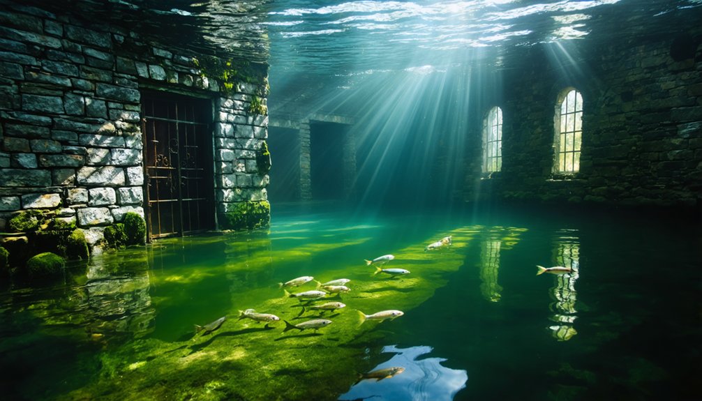
You’ll find Flagstaff Lake offers guided boat tours when water levels drop, revealing foundations and street patterns along exposed shorelines. For deeper investigation, scuba diving permits underwater photography of structures normally hidden beneath the surface.
Old Hill Village maintains year-round access—you can dogsled or ski in winter, bike or canoe during warmer months. The site’s free entry near Franklin Falls Dam encourages independent exploration of factory worker homes and street foundations.
Livermore’s remote White Mountain location attracts hikers seeking railroad bridges and sawmill remnants.
These access opportunities preserve community memory through direct engagement, allowing you to witness submerged history firsthand rather than through distant documentation alone.
Frequently Asked Questions
Can Divers Legally Explore the Underwater Ruins of Submerged New Hampshire Towns?
You’ll find no explicit diving permissions documented for Old Hill Village’s submerged ruins. Legal restrictions remain unclear since the federal dam project doesn’t specify scuba regulations, leaving access ambiguous. You’d need USACE confirmation before exploring underwater areas responsibly.
Were Residents Financially Compensated When Their Homes Were Taken for Reservoir Projects?
Yes, you’d receive relocation compensation through eminent domain proceedings, though property disputes arose when residents challenged valuations. Power companies and federal agencies provided payment for seized land, enabling families to relocate despite losing their ancestral homes.
Do Any Original Buildings From the Flooded Towns Still Exist Today?
No original buildings survive in these flooded areas. You’ll find only foundations, stone walls, and cellar holes—archaeological remnants that attract tourist attractions seeking haunted legends, though conservation efforts preserve these physical imprints for your independent exploration.
Among these remnants lie underwater ghost towns in Maine, where the echoes of history whisper through the still waters. Adventurous souls can kayak or dive into these submerged landscapes, uncovering stories of the past while experiencing the eerie beauty that accompanies hidden histories. As you navigate these quiet depths, the allure of the unknown captivates every explorer who dares to uncover the secrets beneath the surface.
What Happened to Town Records and Historical Documents Before the Flooding?
Faded ink met careful hands as you’ll find historical preservation efforts transferred town records before flooding. Document recovery shows Hill Historical Society archived relocation files, cemetery records, and administrative documents systematically—ensuring your access to heritage remains uncompromised despite reservoir construction.
Are There Plans to Drain Any Reservoirs to Reveal the Submerged Towns?
No drainage plans exist for these reservoirs. You’ll find Franklin Falls Dam prioritizes flood prevention over historical excavation. The reservoir construction serves essential water management purposes, meaning submerged towns like Old Hill Village remain permanently underwater for public safety.
References
- https://www.traceyourpast.com/newsletters/ghost-towns
- https://vitabrevis.americanancestors.org/2016/11/new-hampshire-ghost-town
- https://www.nhpr.org/nh-news/2017-06-15/a-kayak-tour-reveals-hidden-history-of-two-long-gone-towns
- https://www.youtube.com/watch?v=EyeXIme2ppc
- https://wcyy.com/abandoned-ghost-town-of-livermore-is-new-hampshires-smallest-town/
- https://en.wikipedia.org/wiki/List_of_ghost_towns_in_New_Hampshire
- https://www.scenicnh.com/blog/2015/09/abandoned-elbow-pond-community/
- https://www.youtube.com/watch?v=9aYsLd64iJ0
- https://wokq.com/massachusettss-largest-lake-has-4-ghost-towns-underneath-it/
- https://www.atlasobscura.com/lists/sunken-cities-flooded-drowned