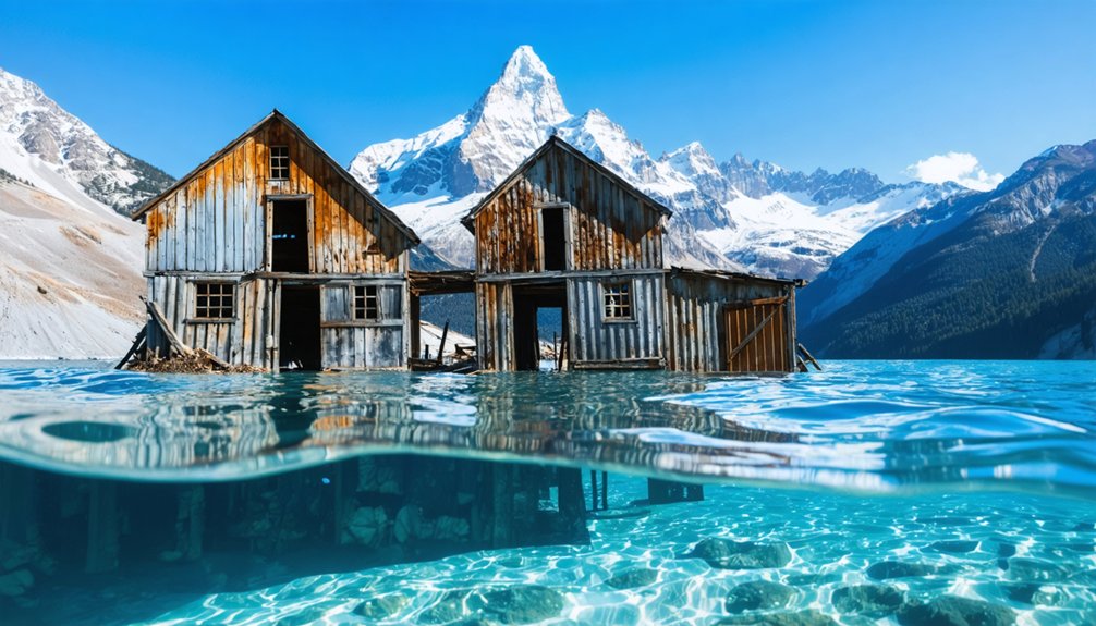
You’ll find complete communities submerged beneath Mountain West reservoirs, where mid-20th century dam projects flooded entire valleys. Judson, North Carolina sits under Fontana Lake with 600 former residents’ remnants visible during drawdowns. West Virginia’s Gad rests beneath Summersville Lake, while Cherokee sites like Citico and Tanasi lie underwater in Tennessee. Texas’s Old Bluffton emerges during droughts, exposing foundations 10-40 feet down. Lake Jocassee conceals a 300-foot lodge and cemetery 130 feet below surface. Archaeological documentation continues as water levels fluctuate, revealing these preserved settlements’ structural details and artifacts.
Key Takeaways
- Judson, North Carolina was submerged in 1944 beneath Fontana Lake, with remnants visible during extreme drawdowns including foundations and graves.
- Gad, West Virginia was flooded in 1966 for Summersville Lake creation, with foundations and artifacts exposed during occasional winter drainings.
- Cherokee heritage sites including Citico, Tanasi, and Chota were submerged by reservoir projects, with most archaeological evidence remaining underwater.
- Lake Jocassee contains documented underwater sites like Attakulla Lodge and Mount Carmel Baptist Cemetery, mapped using sonar and underwater cameras.
- Drought periods expose submerged structures and artifacts in lakes like Buchanan, enabling temporary archaeological documentation before re-flooding occurs.
Judson: A North Carolina Sawmill Town Beneath Fontana Lake
Beneath the pristine waters of Fontana Lake in Swain County, North Carolina, lies the submerged remains of Judson, a once-thriving sawmill town that housed approximately 600 residents before its forced abandonment in 1944.
The Tennessee River ran directly through this self-sufficient community, which featured essential infrastructure including a post office, elementary school, barber shop, and multiple stores alongside its primary sawmill heritage.
When Fontana Dam—the tallest east of the Rockies—was completed to supply hydroelectric power for World War II aircraft production, the resulting reservoir flooded thousands of acres upriver.
Residents lost homes, shops, cemeteries, and ancestral lands permanently.
The federal government’s promise to build a replacement road resulted in the infamous “Road to Nowhere,” a route that was planned for 30 miles but only 6 miles were ever completed before being abandoned due to environmental concerns.
Today, you’ll find remnants visible only during extreme drawdowns: foundations, graves, and structural remains that’ve become part of mountain folklore, evoking unease among visitors who encounter this forced displacement site. At the time of its completion, Fontana Dam ranked as the fourth-highest dam globally, a testament to the massive engineering undertaking that forever changed the landscape.
The Submerged Lodge and Bridge of Lake Jocassee
- Attakulla Lodge: 300+ feet (91 meters), lying sideways
- Whitewater River Bridge: shallower depth near lodge location
- Mount Carmel Baptist Cemetery: 130 feet below surface
Dive shop owner Bill Routh located these structures using sonar and underwater cameras, keeping coordinates confidential for preservation purposes. Routh has been exploring underwater sites in Keowee, Jocassee, and Hartwell for over 30 years. The lake’s emerald waters attract divers and recreational enthusiasts year-round.
Gad: A West Virginia Farming Community Under Summersville Lake
The former farming community of Gad, established in the early 1800s at coordinates 38°14′23″N 80°53′3″W on McKee’s Creek in Nicholas County, West Virginia, now rests beneath Summersville Lake‘s waters near the marina.
The U.S. Army Corps of Engineers purchased the settlement in the early 1960s, relocated residents and six family graveyards, and flooded the site when the lake opened on September 3, 1966, creating what locals call an “Appalachian Atlantis.” The community featured stores, post office, and schools that served the small farming settlement before its displacement.
Every decade, dam maintenance requires draining that exposes Gad’s remnants—roads, foundations, and artifacts—while winter pool releases in select years reveal the underwater ghost town‘s physical remains to scuba divers and surface observers. The name “Gad” appears in multiple historical contexts, though the West Virginia settlement represents just one use of this term in American place names.
Gad’s History and Flooding
Established in 1889 according to a 1945 West Virginia location documentation report, Gad developed as a farming community on McKee’s Creek in Nicholas County. Most likely, it took its name from the Gadd family who settled the area.
For generations, residents cultivated the land independently, maintaining traditional agricultural practices and demonstrating remarkable community resilience through economic hardship. The community included essential infrastructure such as a sawmill, church, school, store, and post office.
The Goly River, originating in Pocahontas County and dropping nearly 4,000 feet over 104 miles, created both fertile bottomlands and devastating flood risks through its steep-sided channels. The 1938 Flood Control Act authorized Summersville Dam construction, fundamentally altering the region’s future.
In 1966, the U.S. Army Corps of Engineers displaced approximately one hundred families:
- Purchased all residential and business properties through eminent domain
- Relocated six family graveyards from ancestral grounds
- Submerged the entire settlement beneath Summersville Lake on September 3, 1966
Town nostalgia persists as winter drawdowns occasionally expose foundations, permitting archaeological documentation of this submerged Appalachian settlement.
Lake Draining Reveals Ruins
Since 1966, Summersville Lake has concealed Gad’s physical remains beneath waters spanning 2,790 acres and reaching depths of 327 feet.
Every ten years, you’ll witness the U.S. Army Corps of Engineers lower water levels to approximately 55 feet for dam inspections. What emerges isn’t comparable to lighthouse remains or boat graveyards—you won’t find preserved structures.
Instead, roadways materialize across the former town site, building foundations break the surface, and rock carvings left by displaced residents become accessible.
Scuba divers and photographers document these exposures, confirming only fragmentary evidence survives: foundation remnants, road traces, and carved stone markers.
The reservoir’s depth and decades of submersion have eliminated intact infrastructure, leaving archaeological remnants that mark where 700 residents once farmed before federal acquisition. The community included a post office and various structures that served families who had called Gad home since the early 1800s. The dam has prevented an estimated $407,400,000 in flood damages since its construction, justifying the displacement that created this recreational reservoir.
Cherokee Heritage Lost Beneath Tennessee’s Tellico and Calderwood Lakes
- University of Tennessee excavations at Citico (late 1960s-1970s) recovered 11 house outlines, 55 burials, and 30,000 pottery fragments.
- Tanasi digs (1969-1974) documented 22 burials, 85 pit features, and 982 postmolds spanning Archaic through 18th-century occupation.
- Chota townhouse site was raised above reservoir levels with an eight-pillar monument.
The Eastern Band of Cherokee Indians now manages accessible sites, though most archaeological evidence remains submerged.
Old Bluffton: Texas Town Revealed by Drought
If you’ve monitored Lake Buchanan’s water levels since 1937, you’ll recognize how drought cycles transform this reservoir into an archaeological site.
When the lake drops below 1,000 feet elevation—typically requiring rainfall deficits exceeding 13 inches annually—foundations of stores, cotton gins, and cemeteries emerge from depths that normally range 30-100 feet.
The 2011-2012 drought provided documented access to structural remains, gravestones, and metal artifacts that reveal settlement patterns from Bluffton’s 1852-1937 occupation period.
Lake Buchanan’s Submerged History
When severe drought conditions lowered Lake Buchanan’s water levels in recent years, the submerged remains of Old Bluffton emerged as a tangible record of forced displacement during New Deal-era infrastructure development. You’ll find underground artifacts and submerged architecture typically concealed beneath 30 feet of water across 22,000 acres.
The 1937 damming project created lasting evidence of governmental overreach:
- Property seizure: LCRA acquired 50 family properties through purchase or condemnation for Buchanan Dam construction
- Rapid submersion: Over 20 inches of rainfall filled the reservoir in months, not the projected four years, leaving some residents unable to evacuate fully
- Physical remnants: Foundation stones from disassembled buildings and Old Bluffton Road now rest 10 to 40 feet underwater
Documentary evidence from historian Alfred Hallmark’s 2013 survey confirms these structures’ locations.
Drought Exposes Town Ruins
Periodic droughts transform Lake Buchanan into an archaeological site, dropping water levels far enough to expose Old Bluffton‘s physical remains. You’ll find that the 2009 drought lowered levels by 26 feet, enabling the Texas Historical Commission to excavate foundations, structures, and artifacts.
The 2011 severe drought revealed the town after two years of dry conditions, exposing old Bluffton Road normally submerged under 10-40 feet of water.
Fluvial erosion and sediment deposition have altered but not destroyed the ruins. You can document house foundations, the cotton gin, bank, and hotel storm cellar during exposures. Artifacts include broken glass, potsherds, metal tools, medicine bottles, and blacksmith equipment.
The site requires a two-mile trek across the exposed lakebed. Subsequent storms resubmerge these ruins until the next drought cycle.
Archaeological Discoveries and Artifacts
These drought exposures have yielded significant archaeological evidence documenting Old Bluffton’s material culture and infrastructure. You’ll find submerged artifacts that remained preserved under 30 feet of Lake Buchanan’s cool waters for decades.
The Texas Historical Commission conducted systematic excavations during the 2009 drought, with local documentation continuing through 2012-2013 exposures.
Recovered artifacts include:
- Structural remains – foundations of homes, bank, hotel, cotton gin, grist mill, blacksmith shop, and charcoal filtering cisterns
- Daily implements – horseshoes, rusting tools, medicine bottles, and school desk parts
- Cemetery evidence – tombstones and grave sites (58 unidentified graves later reinterred)
While not ancient pottery, these submerged artifacts provide tangible connections to 19th-century frontier life.
Video documentation captured structural details before water levels rose again, preserving evidence you can access without government restriction.
The Legend of Monroe Under Virginia’s Smith Mountain Lake
Beneath the placid surface of Smith Mountain Lake, approximately 150 feet of water now covers what local legend claims was the town of Monroe, though no definitive archaeological evidence confirms its existence.
Founded in 1818 by Abner Anthony at Anthony’s Ford, the settlement mysteriously declined fifteen years before the Civil War despite continued regional expansion.
While neighboring communities flourished in the 1830s, Anthony’s Ford inexplicably withered into abandonment by 1846, leaving no documented explanation for its demise.
When Appalachian Power Company closed the dam gates on September 20, 1963, water rose thirty feet in eleven days, ultimately reaching full depth by February 1964.
Urban legends persist about this drowned community, fueled by superimposed aerial photographs showing old roads beneath current configurations.
These flood myths gained cultural legitimacy through venues like Sunken City Brewery, which displays alleged Monroe history.
Yet you’ll find the town’s existence remains unverified—a persistent rumor without archaeological substantiation.
Exploring the Ruins: Access and Visibility During Low Water Events
Unlike Monroe’s unverified ruins, several documented submerged towns across the Mountain West become accessible during periodic drawdowns and drought conditions. You’ll find three primary access methods when water levels drop:
Explorers can uncover ghost towns beneath Rocky Mountains that offer a glimpse into the past. These hidden settlements, once thriving, now lie in silence, revealing remnants of homes and streets lost to time. Visiting these sites provides a unique opportunity to reflect on the history and the stories of those who once called these towns home.
- Pedestrian exploration: Summersville Lake drains decennially for maintenance, exposing Gad’s foundations. Lake Buchanan’s Bluffton becomes trail-accessible during severe droughts.
- Watercraft observation: Fontana Lake’s pontoon boats provide glimpses of Judson when water clarity permits, though marine ecosystems and water pollution can limit visibility.
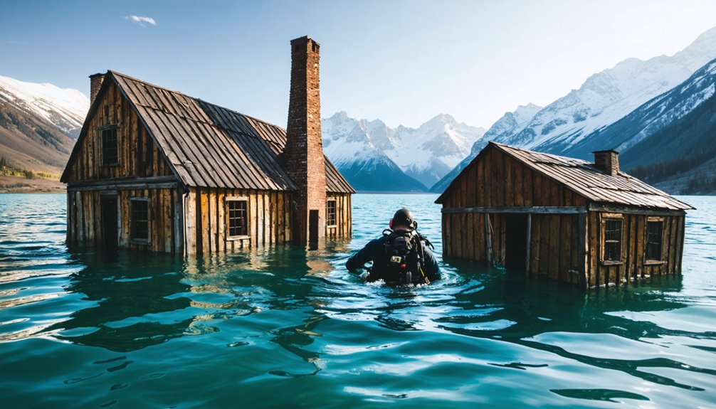
- Guided diving operations: Summersville Lake offers scuba access through certified operators, with visibility reaching 327 feet in pristine conditions.
Remember that artifact removal remains illegal at these sites. You’ll need permission for Fontana Lake access, while St. Thomas at Lake Mead currently stands exposed for direct observation during persistent regional drought.
Preserving Memory: Archaeological Efforts and Cultural Significance
When drought exposes submerged settlements, archaeologists race against rising water levels to document structures and recover artifacts that tell stories of displaced communities. You’ll find teams like Beisaw’s surveying 466 demolished buildings within Ashokan Reservoir’s boundaries since 2012, preserving landscapes erased by urban development.
Racing against time and tide, archaeologists salvage fragments of communities drowned by progress before reservoirs reclaim their secrets.
At St. Thomas, National Park Service researchers link artifacts to Moapa Valley descendants, revealing Basket-Maker cultures that cultivated crops for over 1,000 years.
Modern conservation efforts engage local communities—Kate McGloughlin collaborated on documenting 100+ displaced families’ histories.
Texas Historical Commission’s 2009 Old Bluffton excavation recovered tombstones and structural remains protected by law.
These archaeological initiatives counter water infrastructure’s erasure of rural settlements, documenting evidence like women-owned boardinghouses that represents economic realities authorities once ignored.
Frequently Asked Questions
What Compensation Did Residents Receive When Forced to Relocate From These Towns?
You’d receive compensation below market value through eminent domain seizures. Government restitution proved inadequate—residents couldn’t challenge rates, bore their own relocation costs, and lost business income permanently. Most displaced families experienced significant financial hardship beyond initial payments.
Are There Other Submerged Towns in the Mountain West Region?
Yes, you’ll find additional submerged Mountain West sites beyond those documented. Lake Powell potentially contains undocumented settlements, while drought conditions increasingly expose new locations, creating historical preservation challenges and tourism opportunities requiring systematic site documentation and archaeological surveys.
What Safety Precautions Should Divers Take When Exploring Underwater Ruins?
You’ll need proper diver training certification and current medical clearance before exploring ruins. Maintain excellent buoyancy control, carry safety equipment including emergency oxygen, and always dive with a qualified guide while respecting artifact preservation laws.
How Do Environmental Regulations Affect Access to These Submerged Archaeological Sites?
Environmental policies create virtually impenetrable regulatory barriers you’ll face when accessing submerged sites. U.S. Army Corps of Engineers controls drainage schedules, agencies mandate permits for artifact documentation, and preservation laws strictly prohibit unauthorized diving at protected underwater archaeological locations.
Can Descendants Visit or Recover Family Heirlooms From the Flooded Towns?
You can visit flooded towns during drawdowns or via scuba diving, but you’re prohibited from recovering family heirlooms. Artifact removal remains illegal at protected underwater sites, with no special descendant provisions granting recovery rights documented across these locations.
References
- https://www.blueridgeoutdoors.com/go-outside/sunken-secrets-the-underwater-ghost-towns-of-the-blue-ridge/
- https://www.atlasobscura.com/places/old-bluffton-underwater-ghost-town
- https://www.thewanderingappalachian.com/post/the-underwater-towns-of-appalachia
- https://avltoday.6amcity.com/remembering-judson-wncs-underwater-ghost-town
- https://wvtourism.com/did-you-know-there-is-an-underwater-ghost-town-in-west-virginia/
- https://www.youtube.com/watch?v=JnIIQymTY3w
- https://en.wikipedia.org/wiki/List_of_flooded_towns_in_the_United_States
- https://www.onlyinyourstate.com/state-pride/north-carolina/judson-nc-underwater-ghost-town
- https://grahamcounty.net/whiting/judsondescription.htm
- https://www.youtube.com/watch?v=muxH8qQTNSw


