Hawaii was the last fifty state to join the union on August 21, 1959. Before ceding to the United States in 1898 and becoming a republic in 1894, Hawaii was a single kingdom under King Kamehameha and Queen Lili’uokalani for eighty years.
There are 24 ghost towns across the main islands in Hawaii. However, the list of ghost towns could be incomplete, as there are 137 islands in the Hawaiian chain, and only seven of the eight main islands are currently inhabited.
The eight main islands that comprise the main Hawaiian chain are Niihau, Kauai, Oahu, Molokai, Lanai, Maui, Hawaii, and Kahoolawe. Out of the eight islands, all but Kahoolawe are inhabited.
Apua, Hawaii
Apua is located in Hawaii County on the southern coast of the largest Hawaiian island. Known as a small fishing village, Apua was only 59 feet above sea level. On April 2, 1868, the fishing village was lost to a tsunami that followed an earthquake that had hit earlier.
South of the site of the former village is a backcountry campground for Hawaii Volcanoes National Park. The campground is Apua Point, and the park encompasses two active volcanoes. Kilauea and Mauna Loa.
For thrill-seekers, adventures, and explorers, Kilauea is one of the world’s most active volcanoes, while the second volcano, Mauna Loa, is the world’s most massive shield volcano. Apua Point does not have drinking water or other amenities, weather conditions vary from pleasant to severe, surfing conditions can be dangerous, and parts of the trail will cross old and new lava flows from the active volcanoes.
Kalapana, Hawaii
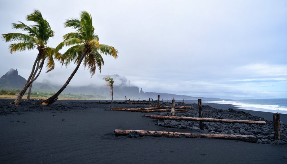
Present-day Kalapana is home to very few permanent residents, and there are very few structures still standing at the townsite. At its peak, the town had over 200 houses, black sand beaches, a spring-fed pool, a visitor center, and the well-known Star of the Sea Painted Church. The church was moved out of harm’s way in Kalapana and still stands at its new location.
In 1983, lava flow from the Kilauea volcano started to erupt and flow, threatening the town. By 1986, the threat was more severe and doomed many homes and structures within the village of Kalapana. In 1990, lava flow from a vent on Kilauea destroyed most of the town, even burying portions. The nearby Kaimu and Kaimu Bay towns were also buried under fifty feet of lava as a new coastline was created from the intense lava flow.
Lava continued to flow from Kilauea over the following years, and in 2010 only 35 homes remained in the Kalapana Gardens Subdivision. The site of lava in the town got the attention of tourists who frequented what remained of the town to watch as new lava covered prior year’s lava fields.
Roads blocked by hardened lava were semi-reestablished, allowing residents to access the town. In July 2018, the road was reopened to all motorists who wanted to visit the once-prosperous town of Kalapana.
Kalaupapa, Hawaii
Founded in 1866, Kalaupapa was established as a colony for those with leprosy. The Belgian priest who oversaw the colony’s creation and activities contracted leprosy and died twenty-three years later in 1889. Very little was known about the disease at the time other than the belief it was highly contagious and incurable.
Kalaupapa is a sea-level colony on the island of Moloka’i in an area that is not easily accessible. The sea cliffs are some of the highest in the world, at 2,000 feet above the ocean. The Kalaupapa Plai trail to reach the town is not for beginner or intermediate hikers. A location such as this made it ideal for a quarantined village to keep the sick isolated and the healthy from wanting to visit and further spread the disease.
At the colony’s peak, roughly 1,200 men, women, and children were sent to the settlement to quarantine. In the 1870s, a community to support the leper colony was established, and a post office was founded with its zip code 96742.
In 1969, 103 years after it was established, quarantine restrictions on the colony were lifted. Residents of the area were allowed to leave, but some chose to remain in the settlement that became their home.
On December 22, 1980, the Kalaupapa National Historical Park was established, encompassing the colony site and surrounding area. Kalaupapa is noted as one of the most beautiful places on Earth; however, visiting the island has some restrictions worth noting.
While the distant view of the area appears to be a well-hidden Hawaiian retreat, a visual history showcases the tragedy residents lived through. Tombstones fill the areas between cottages, reminding residents and visitors of the suffering the quarantined village endured.
Today, children under the age of 16 are not allowed. Residents can invite adults or pay a fee for a guided tour. Those wanting to visit via boat must obtain special permits first since it is prohibited to go within ¼ miles of the shoreline.
The Kalaupapa Trail is extremely dangerous, with cliffs, uneven surfaces, and varied trail conditions. Overnight stays are only allowed for residents’ guests. There are no medical facilities, dining facilities, or shopping facilities. Residents’ guests are expected to bring their own food, clothes, and personal necessities and take their trash with them when they leave. Photography of residents and their property is prohibited without written permission.
Kalawao, Hawaii
On the eastern side of the Kalaupapa Peninsula is the leper colony Kalawao. Kalawao was established in 1866 as a quarantine colony for those who suffered from leprosy. It served as a second location to reduce the number of lepers in Kalaupapa. A hospital, two churches, and multiple homes were built within the settlement.
Due to the easy access to Kalawao in the early 1900s, the Hawaii Board of Health moved patients to Kalaupapa on the island’s western side to alleviate the risks of spreading the leprosy disease to travelers and visitors.
Kalaupapa was a more secluded location that offered more protection from outsiders becoming infected. From 1909 to 1913, a hospital complex was developed to study leprosy’s causes, symptoms, and spreading. Once the US Leprosy Investigation Station stopped operations and closed, the colony of Kalawao was deserted.
Moloka’i’s island rejected Kalawao as part of its jurisdiction, which resulted in Kalawao being recognized as its own county. With a population of no more than eighty-two people, Kalawao is the smallest county in the United States by land size and population.
The only structures remaining at the former colony’s site are the Siloama Congregationalist Church, established in 1866, and the St. Philomena Catholic Church, from the 1870s, associated with the Belgian Father Damien, who went to the island in 1873 to serve the lepers.
When Father Damien died from leprosy in 1889, his body was buried in the Catholic Church’s churchyard. In 1936, the Belgian government requested Father Damien’s body be returned to Belgium, his home country. In 1995, the Pope completed Father Damien’s beatification. The remains of the deceased right hand were returned to Kalawao to be re-buried in his original grave. Near the churches is a popular picnic site known as Judd Park.
Halawa, Hawaii
Halawa is one of the earliest settlements in Hawaii, with archeological features dating the area back over 1,000 years. It is believed to show the most prolonged period of continuous Hawaiian cultural development. The valley of Halawa is at the eastern end of the Moloka’i island and extends roughly two miles inland, with two waterfalls denoting the valley’s head.
The Mo’aula Falls is 250 feet high, while the Hipuapua Falls reaches 500 feet tall. The village had a population of several thousand, 17 temples, irrigation channels for taro production, ancient walls, and terraces. In 1946, a tsunami flooded the village.
Another tsunami in 1957 destroyed the taro fields and caused a significant movement to abandon the townsite. Today, only a few families live in the valley, with most of the land privately owned. There is a public beach and guided tours to the waterfalls available for tourists and adventure seekers.


