You’ll find the remnants of Hickory Point near coordinates 39.747168, -95.152897 in Jefferson County, Kansas. This frontier settlement, established in March 1855 along the Fort Leavenworth-Fort Riley military road, once thrived as a crucial transportation hub with a store, hotel, and blacksmith shop. The site’s prominence ended after the Battle of Hickory Point in September 1856, which pitted Free-State fighters against pro-slavery forces. The battle’s dramatic story echoes through Kansas Territory’s struggle for freedom.
Key Takeaways
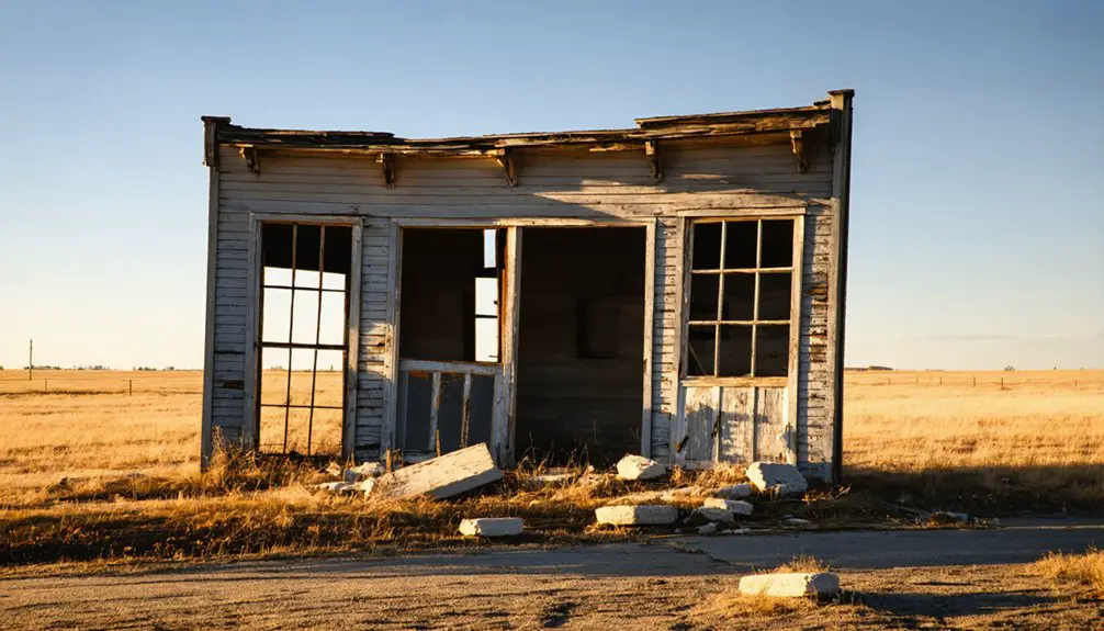
- Hickory Point emerged in 1855 as a strategic trading post with three main buildings: store, hotel, and blacksmith shop.
- The Battle of Hickory Point in 1856 marked a violent clash between Free-State and pro-slavery forces, destabilizing the settlement.
- Political tensions and reduced military traffic led to Hickory Point’s economic decline and eventual abandonment.
- Today, only a historical marker along U.S. Highway 59 remains to commemorate the former settlement’s location.
- The ghost town’s coordinates (39.747168, -95.152897) mark where the original buildings once stood along the Fort Leavenworth-Fort Riley road.
The Birth of a Frontier Settlement
In March 1855, settlers established Hickory Point along the north side of the Fort Leavenworth-Fort Riley military and freight road in Jefferson County, Kansas. They named the settlement after a nearby hickory grove that served as a natural landmark for travelers.
Among the earliest settler motivations was Charles Hardt’s vision to establish a trading ranch in June 1854, followed by Jacob Branson’s arrival from Indiana two months later.
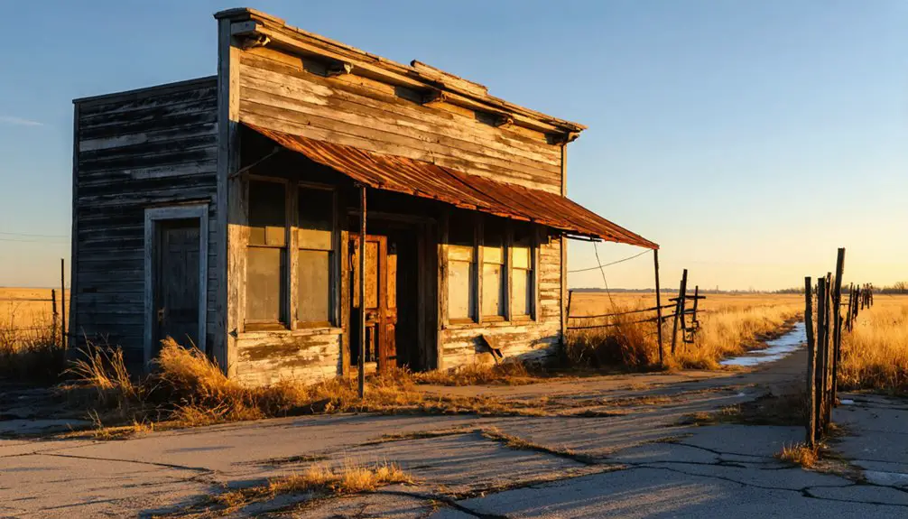
The initial community dynamics centered around three essential log buildings: a store, hotel, and blacksmith shop. The settlement soon became embroiled in territorial political tensions between Free-State and pro-slavery factions. The community later served as a stagecoach stop for the Butterfield Overland Despatch.
You’ll find it remarkable that the settlement’s strategic location near the Santa Fe Trail positioned it for anticipated growth.
With Hardt serving as the first postmaster, Hickory Point quickly established itself as a communication hub for both Free-State and pro-slavery settlers in the expanding frontier.
Strategic Location Along Military Routes
If you’d traveled through Kansas Territory in 1855, you’d have found Hickory Point strategically positioned along the Fort Leavenworth-Fort Riley military road, serving as a significant waypoint for both military and civilian traffic.
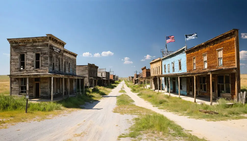
As time passed, many of these waypoints, including Hickory Point, transitioned into ghost towns in Kansas history, reflecting the changing dynamics of settlement and commerce in the region. Today, these remnants serve as poignant reminders of the past, drawing historians and curious travelers alike to explore their untold stories. Each ghost town has its unique narrative, revealing the resilience and challenges faced by those who once called these places home.
As visitors wander through the deserted streets of these historic sites, they often seek to discover the history of Hartland and learn about the lives of the settlers who contributed to its development. Each artifact and building tells a story, offering a glimpse into the everyday experiences of those who lived there. Engaging with these remnants not only highlights the rich history of the region but also deepens our understanding of America’s westward expansion.
The settlement’s location made it an indispensable hub for troops, supplies, and traders moving between the major frontier forts that anchored Kansas Territory’s defense network. Missouri settlers established the pro-slavery town in 1855, recognizing its advantageous position.
Your journey through Hickory Point would have placed you at a critical transportation crossroads where the military route facilitated essential communication and resupply operations between Fort Leavenworth and Fort Riley during the volatile Bleeding Kansas period.
This strategic importance led to the Battle of 1856, when pro-slavery and free-state forces clashed for control of this vital transportation point.
Key Transportation Crossroads
Hickory Point’s strategic position along the Fort Leavenworth-Fort Riley military road established it as an essential transportation hub in March 1855.
The settlement’s transportation significance stemmed from its location at a strategic crossroads where military personnel, traders, and settlers converged. You’ll find that Charles Hardt capitalized on this prime location by establishing a trading ranch that offered critical services like a store, hotel, and blacksmith shop. The Battle of Hickory Point in September 1856 highlighted the location’s strategic importance during Kansas Territory conflicts. The intense fighting was sparked by free-state raids against pro-slavery settlements in nearby Osawkee.
The site’s placement between two major military installations – Fort Leavenworth and Fort Riley – made it important for troop movements and supply lines.
As you’d expect from such a strategic location, both pro-slavery and Free-State forces recognized its importance for controlling the flow of goods, weapons, and communications throughout the Kansas Territory.
Military-Civilian Traffic Hub
While serving as an essential link between Fort Leavenworth and Fort Riley, Hickory Point’s position along the military road made it a significant hub where armed forces and civilians regularly intersected during the volatile 1850s.
Similar to how artillery was utilized effectively in other military conflicts, the strategic position of Hickory Point allowed for defensive fortifications to be established.
You’ll find this strategic location played a critical role in military logistics while supporting civilian interactions through trade, communication, and settlement patterns.
- Blacksmith shops and supply stores served both military escorts and civilian travelers
- Military road traffic flowed through fortified log buildings that doubled as defensive positions
- Messengers relied on the settlement to relay important information between Lawrence and Topeka
- Militia forces used the location to monitor and intercept hostile raiding parties
- Both Free-State and proslavery settlers competed for control of this essential transportation corridor
Fort-to-Fort Supply Route
Commissioned by Colonel Zachary Taylor in 1837, the Fort Leavenworth to Fort Coffey military road established an essential 286-mile supply route through Kansas and eastern Oklahoma.
Two earthen and sandbag fortified outposts helped secure travelers along segments of Kansas military supply routes.
The road’s supply logistics included vital crossings at Spring River, Pomme de Terre, Marmaton, Little Osage, and several other major waterways.
You’ll find the military infrastructure along this route was initially basic, lacking proper bridges and culverts, which challenged transport operations during poor weather. Relay stations were built every 10 to 15 miles to support mail and supply operations along the route.
Early Buildings and Town Layout
Three log buildings marked the beginnings of Hickory Point when it was formally laid out in March 1855 along the north side of the Fort Leavenworth-Fort Riley military road.
These initial log structures served as the foundation for a bustling frontier community, strategically positioned to serve travelers and military personnel. Like the once-prosperous Iowa Point settlement, which boasted over 3,000 residents in the 1850s, Hickory Point’s location proved advantageous for early growth. The community layout centered around essential services, with Charles Hardt’s trading ranch establishing the town’s commercial core.
- A frontier store stocked with supplies for weary travelers and settlers
- A welcoming hotel providing rest for those journeying between the forts
- A busy blacksmith shop maintaining wagons and shoeing horses
- A crucial post office connecting settlers to the outside world
- A stagecoach stop facilitating transportation between Atchison and Topeka
Life in a Divided Community
From its founding in 1855, Hickory Point emerged as a deeply divided settlement where Free-State and pro-slavery factions maintained armed camps within the same community.
You’d find neighbors openly carrying weapons while conducting daily business at the local store, hotel, or blacksmith shop. The political divide created severe community fragmentation, with each faction holding separate elections and refusing to recognize the other’s authority.
Social isolation became the norm as families and friends split along ideological lines. Even Charles Hardt’s post office, while serving both sides, couldn’t bridge the widening gap.
The Battle That Changed Everything
While tensions had simmered for months, violence erupted at Hickory Point on September 13, 1856, when Free-State leader James H. Lane besieged pro-slavery raiders in log buildings.
The battle’s significance grew when Colonel Harvey arrived the next day with “Old Sacramento” cannon, deploying military tactics that would ultimately force surrender.
- You can picture the thunderous boom of 20 cannon shots over six hours
- Smoke billowing from burning hay wagons pushed against the blacksmith shop
- White flags waving between opposing forces during tense negotiations
- Wounded men seeking cover behind log walls and fortifications
- Artillery positioned 200 yards south, ready to rain destruction
The battle marked a turning point in Kansas Territory’s struggle for freedom, as Governor Geary’s subsequent ceasefire helped reduce militia violence throughout Jefferson County.
Tensions and Territory Disputes
You’ll find Hickory Point’s territorial tensions emerged immediately after its March 1855 founding along a key military route in Jefferson County, Kansas, as Free-State and pro-slavery factions vied for control.
The pro-slavery group’s seizure of polling places and disputed election processes sparked an armed standoff between local militias, with both sides rejecting the other’s legitimacy.
Armed Factions Face Off
During the mid-1850s, armed tensions gripped Hickory Point as Free-State and pro-slavery factions vied for territorial control of the Kansas settlement. Armed confrontations erupted frequently, with militia strategies evolving from sporadic skirmishes to fortified standoffs.
You’d have found the pro-slavery Kickapoo Rangers, 50-85 men strong, facing off against James H. Lane’s 150 Free-State fighters during the pivotal September 1856 battle.
- Sharps rifles crack through the air as Free-State forces target log cabin fortifications
- Pro-slavery defenders hunker down behind thick wooden walls, returning fire
- Spent cartridges litter the ground as both sides exhaust their ammunition
- Smoke drifts from the blacksmith shop and store serving as makeshift bunkers
- Mounted patrols scan the horizon for Missouri border ruffians’ approach
Disputed Election Control
As tensions escalated in Hickory Point, pro-slavery men seized control of the first election polls, triggering a cascade of electoral disputes that would fracture the settlement’s political landscape.
You’d have witnessed both Free-State and pro-slavery factions establishing separate elections, each refusing to acknowledge the other’s election legitimacy.
Armed patrols from both sides intimidated voters at polling stations, while political identity became increasingly tied to force rather than democratic process.
Territory’s Slavery Power Struggle
The Kansas-Nebraska Act of 1854 ignited Hickory Point’s role in the broader territorial power struggle, transforming the settlement into a flashpoint for slavery’s western expansion.
You’ll find that the political struggles intensified as pro-slavery Missourians and anti-slavery settlers rushed to influence Kansas’s future. The slavery dynamics created a powder keg, with both sides using force and intimidation to control the territory’s destiny.
- Border ruffians crossing from Missouri to cast illegal votes
- Free-state settlers establishing homesteads to counter slavery’s spread
- Fraudulent election results creating a “Bogus Legislature”
- Violent raids and counter-raids terrorizing local communities
- Political tensions escalating as each side fought for dominance
The battle for Kansas represented more than local control – it would determine whether slavery would expand westward, fundamentally altering America’s future.
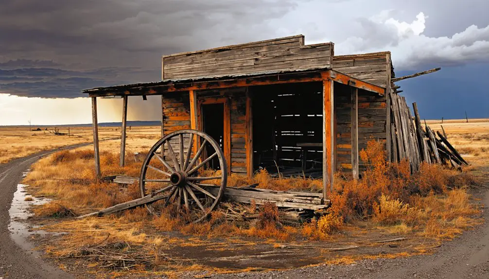
The Slow Fade From Prominence
While Hickory Point’s promising start in 1855 along an essential military and freight road suggested potential for growth, violent political factionalism between pro-slavery and Free-State settlers quickly derailed the town’s trajectory.
The 1856 Battle of Hickory Point shattered any remaining community cohesion, leading to widespread instability and outward migration.
You’ll find that economic decline accelerated as the town’s strategic importance diminished. The reduction in stagecoach and military freight traffic, combined with the lack of a railroad connection, left Hickory Point increasingly isolated.
Legacy and Historical Markers
Today’s visitors can find physical evidence of Hickory Point’s tumultuous past at a dedicated historical marker along U.S. Highway 59, about 5 miles north of Oskaloosa.
This monument to historical preservation, installed through collaboration between the Kansas State Historical Society and State Highway Commission, stands at the intersection where freedom fighters once clashed during the Bleeding Kansas era.
- The marker’s coordinates (39.747168, -95.152897) pinpoint where pro-slavery forces fortified log cabins in 1856
- Original buildings – a store, hotel, and blacksmith shop – have vanished into history
- Free-State militia led by James H. Lane confronted pro-slavery Missourians here
- The site neighbors artist John Steuart Curry’s childhood home
- Cultural memory lives on through interpretive signage rather than physical structures
Frequently Asked Questions
What Happened to Charles Hardt After Establishing the Trading Ranch?
You’ll find that Charles Hardt’s legacy extends to his appointment as postmaster, but historical records don’t reveal much about Hardt’s trading practices or later life after establishing the ranch.
Were There Any Notable Deaths During the Battle of Hickory Point?
You’ll find historical accounts mention only one notable death during the battle – Charles Newhall from the pro-slavery side – while battle casualties were limited to nine wounded across both forces.
How Did Local Native American Tribes Interact With Hickory Point Settlers?
Like ships passing in darkness, you won’t find much evidence of cultural exchanges or trade agreements – Native tribes had largely been displaced from Jefferson County before settlers established Hickory Point in 1855.
What Were the Typical Goods and Services Traded at Hickory Point?
You’d find trade items like livestock, food staples, dry goods, and tools at the store, while service offerings included lodging, blacksmith repairs, postal services, and militia protection.
Did Any Famous Historical Figures Pass Through Hickory Point Before Abandonment?
You’ll find that General James H. Lane was the most famous historical visitor, leading Free-State forces there in 1856. Governor Geary’s influence was felt through proclamations, though he never physically visited.
References
- https://www.legendsofamerica.com/ks-hickorypointbattle/
- https://civilwaronthewesternborder.org/map/hickory-point-kansas
- http://www.ksgenweb.org/archives/1918ks/v1/ch28p1.html
- https://www.youtube.com/watch?v=8MTb39F-4tc
- https://legendsofkansas.com/hickory-point-kansas/
- https://legendsofkansas.com/first-kansas-settlements/
- http://www.thecivilwarmuse.com/index.php?page=battle-of-hickory-point
- https://civilwaronthewesternborder.org/timeline/battle-hickory-point
- https://www.forttours.com/pages/hmneks.asp
- https://jeffersonjayhawkers.com/2016/10/10/north-of-the-kansas-river/


