You’ll find Homansville’s remains in Utah’s Tintic Mining District, where it once thrived as an essential water supply hub supporting regional mining operations. Founded around natural springs rather than precious metals, this frontier settlement peaked at 300 residents who lived in wooden cabins and relied on nearby Eureka for services. By 1916, it had transformed into a limestone quarry operation, leaving behind historic kilns and sparse remnants that tell a deeper story of pioneer ingenuity.
Key Takeaways
- Homansville was a 19th-century Utah mining settlement with 300 residents that relied on water resources rather than precious metals.
- The town supported the Tintic Mining District through water management and mining operations for copper, lead, and silver extraction.
- Residents lived in wooden cabins without formal schools or churches, depending on nearby Eureka for essential services.
- By 1916, Homansville transformed into a limestone quarry operation, with two historic kilns now listed on National Register of Historic Places.
- The ghost town’s remains are limited but culturally significant, named after Sheppard Homans from Gunnison’s survey party.
The Birth of a Water Supply Hub
While many Western towns emerged around precious metal discoveries, Homansville’s establishment centered on something even more valuable – water.
While gold and silver built many frontier towns, Homansville’s true wealth flowed from its life-giving springs and streams.
You’ll find this Utah settlement’s story perfectly aligned with regional settlement trends, where communities sprouted wherever water resources could sustain life and industry. Early residents appointed water masters to oversee the distribution of this vital resource.
In response to water scarcity in Utah’s semi-arid landscape, Homansville became an essential hub supplying both mining operations and community needs. Similar to how the Latter-day Saint pioneers developed irrigation systems from City Creek when first settling Salt Lake Valley, early residents recognized the critical importance of water management.
The town’s strategic location allowed it to divert local streams effectively, supporting a population that grew to 300 residents.
You can trace how early infrastructure projects shaped Homansville’s development, as the town’s leaders joined other communities in establishing irrigation systems and formal water management committees to guarantee organized distribution of this precious resource.
Life in Homansville’s Mining Community
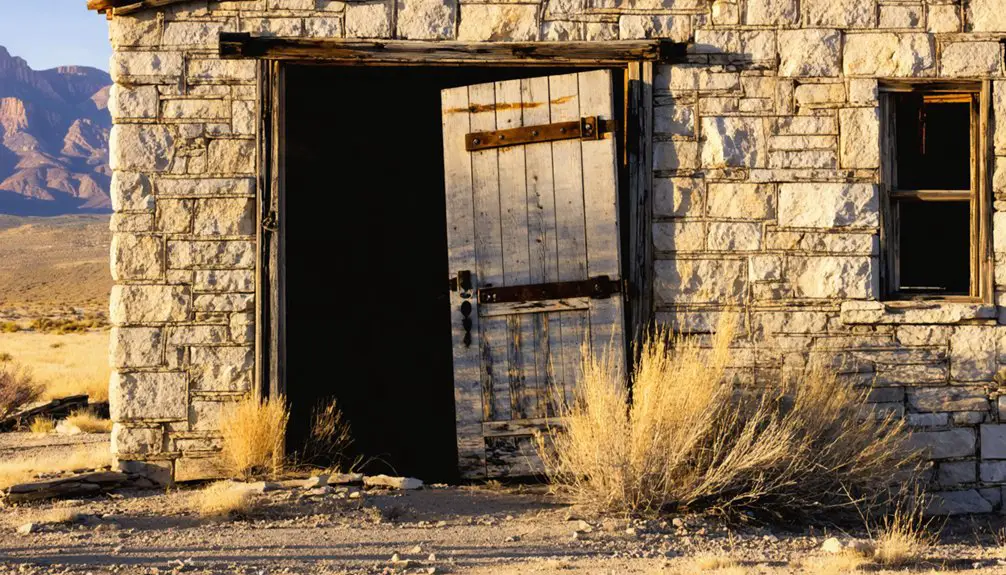
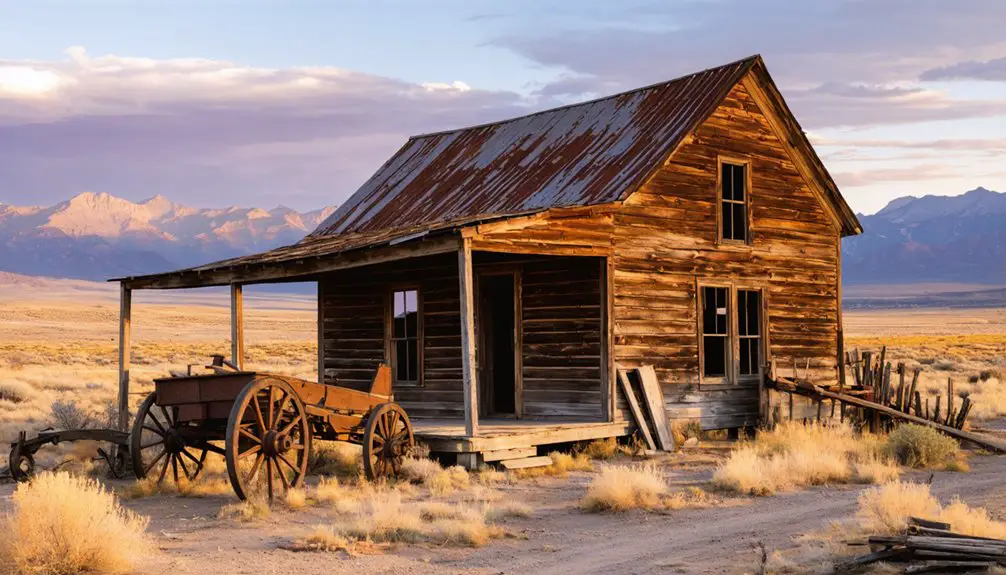
Life in Homansville extended far beyond its water management operations into a bustling mining community of 300 residents. You’d find miners and their families living in hastily built wooden cabins and frame houses, where living quarters often doubled as boarding houses.
The community dynamics revolved around the rugged mining culture, with workers facing daily risks in copper, lead, and silver extraction. You wouldn’t find formal schools or churches in town – residents relied on nearby Eureka for these services. The town benefited from J.C. Penney’s store in Eureka for supplies and basic necessities.
Instead, social life centered on saloons and communal halls where miners gathered after their dangerous underground shifts. Health hazards were constant companions, from mining accidents to respiratory diseases, with minimal medical facilities available. The area later became a lime quarry operation in 1916.
The tight-knit community persisted until economic shifts and railroad changes gradually drew people away.
Water Management and Mining Operations
You’ll find that Homansville’s water infrastructure played a crucial role in supporting the Tintic Mining District‘s operations, with rudimentary collection and distribution systems designed to meet the demands of ore processing and worker consumption.
At an elevation of 6,234 feet in an arid climate, the town’s water management systems faced significant challenges in maintaining reliable supply for the Homansville Shaft’s mining operations. The Industrial architecture of water storage tanks and pumping stations dominated the landscape alongside the mining facilities.
The efficiency of mining resources depended heavily on these water systems, which supported essential processes like milling, smelting, and underground shaft operations including dust suppression and equipment cooling. The Chief Consolidated Mining Co. managed these critical water resources while overseeing the shaft’s copper extraction activities.
Water Supply Infrastructure
Water management systems played an essential role in Homansville’s mining operations, with early settlers establishing significant irrigation networks and water distribution methods. The region’s water development followed principles similar to those outlined in the League of the Southwest, which emphasized equitable distribution among communities.
Water sourcing relied heavily on natural water sources and community-maintained ditches before larger infrastructure projects emerged. The region’s irrigation techniques evolved from simple canal systems to sophisticated water management networks overseen by local committees. Similar to the Strawberry Valley Project, the area developed extensive water infrastructure to support both agricultural and industrial needs.
- Personal and communal irrigation canals served as the foundation for early water distribution
- Legal adjudication of water rights through the Utah Weber River system established clear usage priorities
- Local committees managed water duties and infrastructure maintenance
- Trial periods determined water allocation for both mining and agricultural needs
- Water collection systems integrated with hydroelectric power generation to support mining operations
Mining Resource Efficiency
Mining operations at Homansville demonstrated a complex balance of resource management, particularly in its polymetallic extraction of copper, lead, and silver from the Tintic Mining District.
You’ll find that underground mining methods allowed for more controlled ore extraction compared to open pit mining, helping minimize waste rock production. The mine’s efficiency relied heavily on proper ore sorting at the site, separating valuable minerals from waste before transportation. Located in the North Tintic District, the mine site was strategically positioned for regional mineral processing operations.
The operation’s mining efficiency was enhanced by headframes and gallows-frames, which improved vertical transport of ore, workers, and equipment. Similar to many mining operations that attracted immigrant labor forces, the site required skilled workers for efficient resource extraction.
While the presence of large ore and slag dumps suggests some material inefficiencies in the milling and smelting processes, the nearby Utah Southern Railway helped optimize resource movement by reducing haul distances and transport energy requirements.
Daily Activities and Infrastructure
You’ll find Homansville’s daily operations centered around its essential water management system, which supplied up to 300 residents and supported the surrounding mining activities.
The town’s strategic position at the head of Homansville Canyon maximized water access and distribution capabilities for both residential use and mining operations.
Your typical day in Homansville would have involved maintaining the water infrastructure, managing the mining-related tasks, and sustaining the basic amenities needed for the small but industrious population.
Water Management Systems
Throughout the region, extensive water management systems played an essential role in sustaining daily operations and infrastructure development.
You’ll find that water conservation efforts and infrastructure upgrades were critical to the area’s survival, with multiple reservoirs like Starvation and Strawberry providing essential storage.
The Central Utah Water Conservancy District managed these complex systems across seven counties, ensuring reliable water delivery through an intricate network of aqueducts, tunnels, and treatment facilities.
- Integrated network of pipelines and canals spanning hundreds of miles
- Advanced water treatment plants meeting strict quality standards
- Secondary water metering systems monitoring usage patterns
- Canal rehabilitation projects preventing seepage losses
- Strategic reservoir management balancing current and future needs
Daily Living Arrangements
Life in Homansville centered around modest wood-frame dwellings that housed the town’s roughly 300 inhabitants during its peak.
You’d find one or two-room cabins built from locally sourced timber, where family structures revolved around mining work schedules and basic domestic routines.
Your daily activities would’ve involved cooking on wood stoves, likely using preserved foods from general stores or supplies brought from Eureka.
While most meals happened within individual homes, communal meals occasionally brought residents together, fostering social bonds in the absence of formal institutions.
Without churches or schools, you’d rely on informal gatherings for entertainment and community connection.
Your home might double as a social space, where you’d join neighbors for card games, music, or sharing stories after long days in the mines.
The Decline of a Frontier Settlement
Despite its early promise as a essential water and charcoal supplier for the Tintic Mining District, Homansville’s decline began in the late 19th century when railroad routes favored larger smelting operations in neighboring towns.
The town’s narrow economic focus and inability to diversify left it vulnerable to economic shifts and regional competition. You’ll find that Homansville’s peak population of 300 quickly dwindled as transportation networks bypassed the settlement.
- Railroad development prioritized larger mining centers, reducing Homansville’s accessibility
- Depletion of local cedar forests diminished charcoal production
- Geographic isolation limited adaptation to changing transportation networks
- Dependency on mining industry led to economic instability
- Lack of industrial diversification prevented sustainable growth
Transformation Into a Lime Quarry
Rising from the ashes of its mining-town past, Homansville found new purpose as a limestone quarry operation in 1916 under Chief Consolidated Mines’ ownership.
You’ll find evidence of the quarry techniques in the visible scars along hillsides where workers extracted limestone using picks and shovels, transporting their harvest by horse and wagon.
The heart of limestone processing centered around two massive kilns, each stretching 30-40 feet deep and 8 feet wide.
These industrial behemoths, now listed on the National Register of Historic Places, transformed raw limestone into valuable lime products through crushing, burning, and rehydration.
The finished products served construction needs throughout the region, providing essential materials for mortar, plaster, and whitewash in growing cities like Salt Lake City.
Exploring the Ghost Town Today
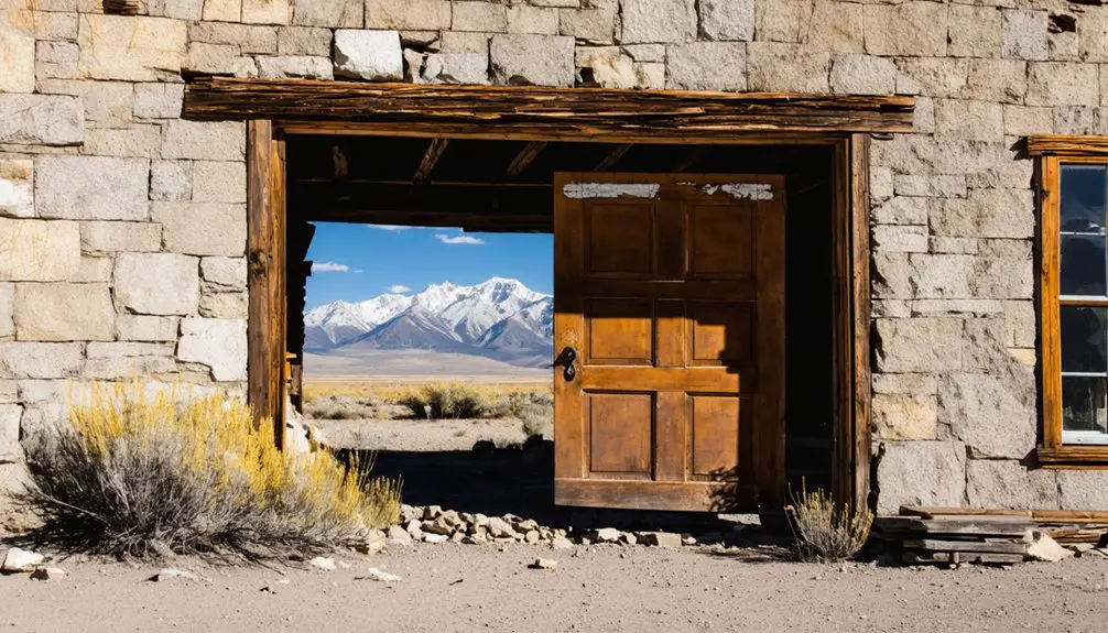
When you visit Homansville today, you’ll find a stark contrast to its once-bustling mining town past. Located two miles northeast of Eureka, Utah, this ghost town exploration offers a raw glimpse into mining history, though minimal structures remain.
Visitors can also venture to other abandoned sites in Utah, where remnants of the past lie scattered across the landscape. Each location tells a unique story of resilience and decline, beckoning adventurers to uncover their hidden histories. The eerie beauty of these forgotten places offers a fascinating backdrop for photography and exploration.
You’ll need to navigate the rugged terrain carefully, as the site presents several visitor challenges including limited signage and unmaintained pathways.
- Prepare for self-guided exploration with no formal facilities or markers
- Access the site via hiking or off-road vehicle, depending on road conditions
- Look for building foundations and mining artifacts among the natural overgrowth
- Bring appropriate gear for rough terrain and mountain weather
- Practice responsible exploration to help preserve remaining historical elements
Remember to document your findings, as this lesser-known ghost town continues to fade with time and environmental exposure.
Historical Legacy and Preservation
Though Homansville’s physical remains are sparse today, its historical legacy offers valuable insights into Utah’s mining era development. You’ll find the town’s cultural significance deeply embedded in the broader narrative of western resource exploitation and railroad expansion.
Named after Sheppard Homans from Gunnison’s survey party, the settlement played an essential role in supporting regional mining operations through its water supply and limestone production.
The town’s economic impacts rippled through central Utah’s mining industry until railroad routing favored other locations, leading to its abandonment before 1900.
While preservation efforts remain limited, you can still explore remnants like charcoal kilns and the old quarry site. Historical documentation, including works by Stephen L. Carr and George A. Thompson, helps preserve Homansville’s place in Utah’s mining heritage.
Frequently Asked Questions
Are There Any Documented Accidents or Deaths From Homansville’s Mining Operations?
You won’t find documented accident reports or mining safety records specific to Homansville’s operations in historical archives, though the town likely faced similar risks as other Utah mining communities.
What Happened to the Original Water Supply System After the Town’s Abandonment?
Like a withered vine, you’d find the water source deterioration was complete – ditches silted up, springs sealed naturally, and abandoned infrastructure gradually fell apart without maintenance after the town’s desertion.
Did Any Notable Outlaws or Criminal Activities Occur in Homansville?
You won’t find any documented outlaw legends or criminal activities in this small mining town’s history. Historical records show it was primarily focused on water supply and lime quarrying operations.
Were There Any Churches or Schools Established During the Town’s Existence?
Like footprints in shifting sand, Homansville’s church history and school legacy remain invisible. You won’t find evidence of either institution in historical records during the town’s brief mining-focused existence.
What Native American Tribes Inhabited the Area Before Homansville’s Establishment?
You’ll find the Ute Tribe was the primary inhabitant, with their Uintah band settling extensively in the area. The Paiute Tribe also maintained connections through trading and seasonal movements nearby.
References
- https://jacobbarlow.com/tag/homansville/
- https://jacobbarlow.com/2015/02/22/homansville-utah/
- https://www.familysearch.org/en/wiki/Utah_Ghost_Towns
- https://onlineutah.us/homansvillehistory.shtml
- https://www.ghosttowns.com/states/ut/homansville.html
- https://www.cuwcd.gov/history
- https://www.summitcountyutah.gov/798/Early-Water-History
- https://history.byu.edu/water-management
- https://historytogo.utah.gov/central-utah-project/
- https://freepages.history.rootsweb.com/~gtusa/usa/ut/tintic.htm


