You’ll find estimates ranging from 50 to over 400 ghost towns in New Mexico, depending on how you define “abandoned.” Tourism sources document more than 400 sites including complete ruins, semi-occupied settlements, and mining camps, while conservative historical maps identify approximately 60 well-documented locations. These abandoned communities cluster prominently in central, northeast, southeast, and southwest regions—particularly along historic mining and railroad routes where boom-bust cycles shaped the state’s landscape. The sections below explore their locations, histories, and what you can discover today.
Key Takeaways
- Estimates range from 50 to over 400 ghost towns, depending on definitions including complete ruins, semi-occupied sites, and mission remains.
- Tourism sources cite over 400 locations, while conservative maps document approximately 60 verified sites across New Mexico.
- Dense concentrations exist in central, northeast, southeast, and southwest regions, with over 80 locations exemplifying boom-bust mining cycles.
- Sandoval and Grant Counties each host five notable sites, with clusters along historic mining and railroad routes.
- Famous examples include Madrid, Shakespeare, Mogollon, Chloride, and Lake Valley, attracting visitors for their preserved historical features.
The Total Number of Ghost Towns Across New Mexico
Determining exactly how many ghost towns exist in New Mexico proves surprisingly difficult, as estimates swing dramatically from around 50 to over 400 abandoned settlements.
Pinning down New Mexico’s ghost town count remains elusive, with estimates ranging wildly from 50 to over 400 abandoned sites.
You’ll find this wide variation stems from how different sources define a ghost town—some count only complete ruins with historical significance, while others include semi-occupied sites, mining camps, railroad stops, and mission remains.
Tourism boards often cite over 400 locations, while conservative mappings identify closer to 60 documented sites. These settlements scatter across central, north central, northeast, southeast, and southwest regions, with notable concentrations in Sandoval and Grant Counties holding five each. The state features over 80 abandoned sites that exemplify the classic boom-and-bust cycle, rising with resource discoveries like gold, silver, turquoise, and coal before declining when ore depletion or economic shifts occurred.
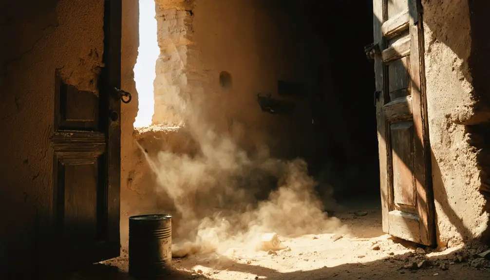
The discrepancies highlight preservation challenges researchers face when cataloging frontier settlements, coal towns, and intrepid historical communities that shaped New Mexico’s territorial past. Many sites have suffered from vandalism and theft, with artifacts stolen and structures destroyed over the years, making accurate documentation increasingly difficult.
Most Famous Ghost Towns Worth Visiting
Among New Mexico’s hundreds of abandoned settlements, five ghost towns stand out for their preserved structures, colorful histories, and accessibility to modern visitors.
Madrid tops Tripadvisor’s rankings with its artistic interpretations of mining heritage, located 28 miles south of Santa Fe. You’ll find former miners’ houses transformed into galleries celebrating turquoise’s Indigenous significance.
Shakespeare near Lordsburg achieved National Historic Site status, where Billy the Kid and Russian Bill once roamed during the 1879 silver boom.
Mogollon resisted both Apache warriors and lawmen from 1878 through six decades of gold extraction. It harbored Butch Cassidy’s gang. This mining boom town sits in the Gila National Forest mountains, where its well-preserved buildings remain remarkably intact.
Chloride’s 2,000-person peak left behind the Old Pioneer Store Museum and Monte Cristo Saloon. These sites preserve folklore legends of Apache raids and frontier justice.
Lake Valley’s self-guided tours reveal archaeological remnants from its 5.8-million-ounce silver yield. The Shakespeare Foundation preserves authentic Old West architecture at this National Historic Site, maintaining the town’s historical integrity for future generations.
Where Ghost Towns Are Located Throughout the State
New Mexico’s ghost towns scatter across five distinct regions, with concentrations following the state’s historic mining corridors and railroad routes. You’ll find the densest clusters in the central and north central areas, where Cerrillos, Madrid, and Golden mark the legendary turquoise and gold mining boom. Hidden routes along State Road 14 connect these sites just 28 miles south of Santa Fe.
The southwest region features Magdalena on US Route 60 and Steins in Hidalgo County, both tied to railroad expansion. Pinos Altos originated in 1860 when prospectors discovered gold at Bear Creek, spurring rapid growth as a mining community 8.5 miles north of Silver City.
Southeast, you’ll discover Duran’s 1902 railroad heritage 54 miles from Santa Rosa. Mail routes in 1902 connected many of these remote settlements, establishing communication networks that helped sustain early communities before their eventual decline.
Local legends permeate the northeast’s mining settlements, documented on interactive maps through UNM’s compilation. Hundreds of documented sites await exploration across these regions, with downloadable trail maps showing approximate locations and modern road access.
Mining Booms That Created These Abandoned Settlements
Gold and silver discoveries transformed remote stretches of New Mexico Territory into bustling extraction centers between the 1860s and early 1900s. You’ll find these settlements emerged through distinct patterns that shaped the landscape:
Precious metal strikes turned New Mexico’s wilderness into thriving mining towns, following predictable patterns of discovery, growth, and eventual abandonment.
- Accidental strikes like Harry Pye’s 1880s silver find near Chloride while freighting for the U.S. Army sparked immediate rushes
- Systematic prospecting by 49ers at Pinos Altos in 1860 drew 700 miners to Bear Creek within months
- Indigenous resistance including the 1880 Alma Massacre couldn’t stop Mogollon’s growth to 6,000 miners by the 1890s
Multi-mineral operations at Los Cerrillos sustained decades of extraction beyond single-ore camps. By 1913, Mogollon produced 40% of New Mexico’s precious metals, cementing its position as the territory’s most significant mining center. Silver City evolved from Chloride Flat district mining camp to a regional hub that maintained connections to its extraction heritage.
Today’s artifacts preservation and tourist attractions let you explore these boom-and-bust cycles where depleted veins triggered swift population collapse, leaving intact structures frozen in territorial history.
Other Reasons Towns Became Abandoned
Beyond mineral booms and busts, you’ll find New Mexico’s ghost towns scattered across the landscape due to railroad route changes that left once-thriving depots stranded without passenger traffic.
Mining disasters and tragedies—from collapsed mine entrances like Lake Valley’s bridal chamber to devastating fires that consumed entire main streets—accelerated abandonment when communities couldn’t recover from sudden catastrophes. White Oaks endured mine fires between 1891-1895 that caused fatalities and destruction, contributing to its eventual decline as a ghost town.
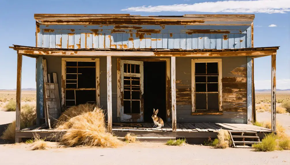
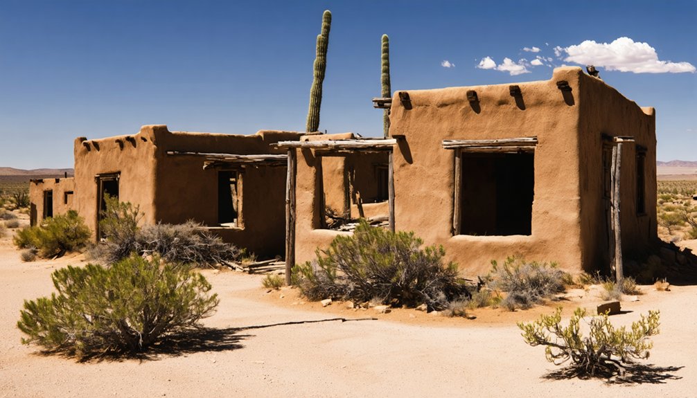
Resource depletion extended beyond precious metals, as agricultural failures during the Dust Bowl and the exhaustion of water supplies forced homesteaders to abandon their adobe structures and rusting windmills across the borderlands. The construction of Interstate 40 in the late 1960s physically divided communities like Cuervo, splitting towns into disconnected sections and triggering exodus as schools closed and businesses folded.
Railroad Route Changes
When the Southern Pacific Railroad completed its line through Steins Pass in 1880, the company established an initial station that would anchor a community for decades. Railroad disruptions transformed New Mexico’s landscape as companies prioritized efficiency over established settlements.
You’ll find evidence of these town relocations throughout the state, where communities thrived until tracks shifted elsewhere.
The Belen Cutoff exemplifies this pattern:
- Completed in 1907, it rerouted Atchison, Topeka & Santa Fe trains through east-central New Mexico, avoiding steep grades.
- Yeso and Tolar emerged as supply stops serving ranchers and locomotives.
- Post-WWII diesel technology eliminated water stops, triggering economic collapse.
The El Paso & Northeastern similarly bypassed White Oaks in 1899, building an entirely new settlement in the Tularosa Basin.
You’re witnessing how technological advancement and corporate decisions repeatedly stranded once-prosperous communities across New Mexico’s high desert.
Mining Disasters and Tragedies
Mining communities faced catastrophic risks that transcended economic volatility, with underground disasters sometimes claiming hundreds of lives in single afternoons. You’ll find Dawson’s tragedy exemplified this brutal reality—on October 22, 1913, a dynamite charge ignited coal dust in Stag Cañon Mine No. 2, killing 263 people despite recent safety inspections.
A decade later, February 8, 1923, brought another catastrophe when a derailed mine car sparked an explosion that claimed 123 lives after sprinkler systems had frozen. Mining accidents like these claimed nearly 400 Dawson residents combined.
Though operations continued until 1950, declining coal demand triggered town evacuations. Phelps Dodge gave residents 30 days to vacate, dismantled buildings, and shipped equipment out.
Today, white-painted iron crosses mark the cemetery where these disaster victims rest.
Resource Depletion Effects
Resource exhaustion created its own category of ghost towns, distinct from sudden disasters, with communities dying slowly as the ground beneath them gave out.
You’ll find the ecological impacts and historical significance most visible in these patterns:
- Grants Mineral Belt uranium depletion eliminated entire settlements like Anaconda by 1982, leaving approximately 1,100 abandoned sites across northwest New Mexico and devastating Navajo communities economically.
- Lake Valley’s silver crash followed the 1893 gold standard implementation, which demonetized the metal. This forced the town’s transformation from mining hub to ranch supply center by 1900 after producing over five million dollars in ore.
- Groundwater mining near Milan consumed 14 billion gallons since 1977, dropping water tables 50 feet and drying springs while containing radioactive tailings.
Non-diversified economies collapsed when resources exhausted, leaving ghost towns as monuments to unsustainable extraction.
Current Condition and Preservation Efforts
You’ll find New Mexico’s 400+ documented ghost towns in varying states of preservation, from well-maintained sites like Golden’s restored 1830 San Francisco de Asis Catholic Church to Dawson’s haunting cemetery remains.
While some towns like Chloride and Madrid have transformed into tourist destinations with museums and gift shops operating in original structures, others face ongoing threats from vandalism and natural deterioration.
The New Mexico Tourism Department provides regional maps covering Central, North Central, Northeast, Southeast, and Southwest areas to help you locate these sites, though you should note that some structures sit on private property with restricted access.
Vandalism and Deterioration Issues
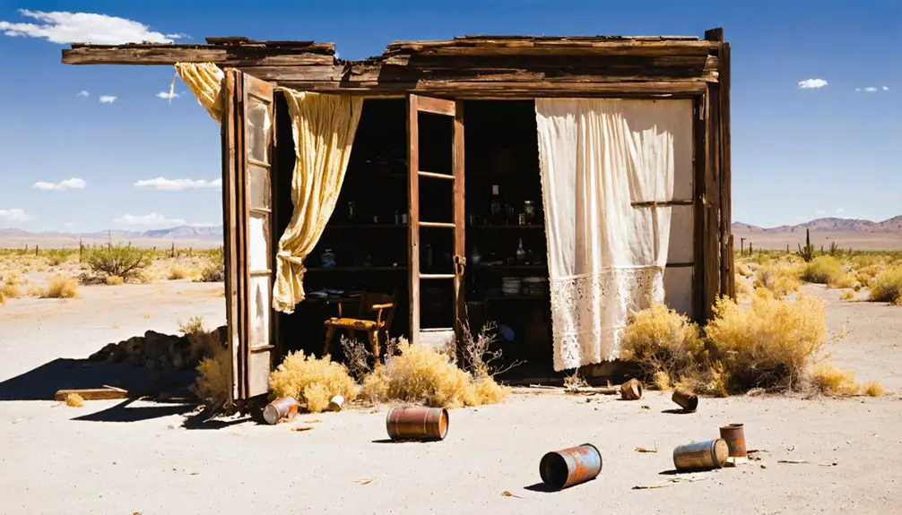
New Mexico’s ghost towns face a dual threat as vandalism and natural decay systematically erase what remains of their historic structures.
Urban decay accelerates in remote locations like Old Hachita and Mogollon, where weathering and structural neglect compound without maintenance.
Preservation challenges intensify across mining districts, from Chloride’s vulnerable silver strike relics to sites requiring motion-triggered cameras.
The Homestake uranium site exemplifies systemic failures:
- 22.2 million tons of uranium waste contaminate surrounding areas as cleanup deadlines pass unmet since the 1980s
- 574 parcels purchased by 2021 transformed communities into depopulated zones vulnerable to intrusion
- Dozens of violation notices issued for unfenced contaminated land spreading dust into homes
Glenrio maintains patrols against vandals, yet zero population towns remain defenseless.
Without constant oversight, you’ll find historical foundations crumbling under environmental exposure and human interference alike.
Protected Historic Sites
While vandalism threatens abandoned settlements, formally designated historic sites across New Mexico benefit from structured preservation frameworks that maintain architectural integrity and public access.
You’ll find Taylor-Mesilla Historic Site in Mesilla and Archbishop Lamy’s Chapel in Santa Fe both listed on the National Register since 1988. Fort Stanton‘s multiple phases—military, medical, and internment—showcase documented historical evolution beyond local legends and ghost town myths.
Golden’s San Francisco Catholic Church, dating to the early 1830s, stands fully restored alongside visible mine ruins from the first gold rush west of the Mississippi.
At Dawson, nearly 400 white-painted iron crosses mark coal mining disaster victims from 1913 and 1923, with cemetery preservation representing the site’s primary conservation focus.
Steins operates under private ownership with ongoing restoration and public tours available.
Interactive Mapping Resources
Since 1988, digital mapping platforms have transformed how researchers and visitors locate New Mexico’s ghost towns. The University of New Mexico’s Earth Data Analysis Center (EDAC) has compiled an interactive database that documents names, GPS coordinates, and current structural conditions for hundreds of abandoned settlements.
You’ll find extensive resources through RGIS downloadable datasets and GhostTownGallery.com’s clickable markers offering satellite views of sites from White Oaks’ frontier remnants to Steins’ intermittently-open buildings.
Essential mapping tools include:
- Historical Maps Online’s transparent overlays positioning ghost town locations against modern road networks
- Geotab’s detailed database identifying 3,800+ abandoned settlements, including six within 50 miles of Albuquerque
- New Mexico Tourism’s PDF map clustering 26 accessible sites across Central, Northeast, Southeast, and Southwest regions
These platforms provide critical access information while warning about open mine shafts, private property boundaries, and areas lacking cell coverage.
Exploring New Mexico’s Ghost Towns Today
Ghost town exploration in New Mexico offers adventurers direct access to over 400 abandoned settlements scattered across diverse terrain—from high mountain forests to desert borderlands.
New Mexico’s 400-plus ghost towns span from alpine wilderness to arid plains, creating unparalleled opportunities for historical exploration across dramatically varied landscapes.
You’ll find preserved structures in Mogollon within Gila National Forest, where mining history and gunfight stories reveal cultural significance tied to 19th-century boom-and-bust cycles.
White Oaks showcases Billy the Kid connections through Cedarvale Cemetery, while local legends permeate sites like Shakespeare’s outlaw hideouts near Lordsburg.
Madrid tops Tripadvisor ratings at 4.4, offering operational museums and galleries.
Chloride maintains its main street with a 4.7 rating, featuring restaurants in original buildings.
Glenrio’s Route 66 ruins provide photographic opportunities along the Texas border.
Spring through autumn delivers ideal conditions for accessing remote locations like Loma Parda’s footbridge crossing.
Frequently Asked Questions
Are Ghost Town Artifacts Legal to Remove or Collect?
You can’t legally remove ghost town artifacts—federal penalties reach $100,000 per violation. Legal artifact removal requires permits from property owners and state agencies. Preservation laws protect items over 100 years old, ensuring New Mexico’s historical heritage remains intact for future generations.
What Safety Hazards Exist When Exploring Abandoned New Mexico Towns?
You’ll face structural collapses, unstable foundations, and environmental concerns like extreme isolation and dehydration. Historical preservation sites contain biological risks including wildlife and contamination, while legal access issues complicate exploration of privately-owned properties and restricted mining claims.
Which Ghost Towns Allow Overnight Camping on the Property?
One 19th-century mining ghost town near Lordsburg offers authentic overnight RV camping through Harvest Hosts. You’ll find camping regulations permit generators and pets, while historic preservation maintains eight tour-accessible buildings. It’s your gateway to genuine frontier freedom.
Do Any Ghost Towns Have Reported Paranormal Activity or Hauntings?
New Mexico’s ghost towns lack documented paranormal activity despite their violent histories. You’ll find these sites promoted as tourist attractions and historical preservation projects emphasizing mining heritage, lawlessness, and architectural ruins—not hauntings or supernatural experiences.
What Permits Are Required to Photograph Ghost Towns Commercially?
You’ll need permits based on private ownership and local regulations. Ghost Ranch requires photo licensing starting at $250, while Gold King Mine charges $50-$250 depending on usage. State parks and federal lands have separate commercial photography requirements.
References
- https://newmexicotravelguy.com/new-mexico-ghost-towns/
- https://www.ghosttowns.com/states/nm/nm.html
- https://geronimoranch.com/blog/ghost-towns-in-nm/
- https://www.newmexico.org/places-to-visit/ghost-towns/
- https://santafe.com/new-mexico-road-trip-ghost-towns/
- https://www.geotab.com/ghost-towns/
- https://rgis.unm.edu/nm_ghosttowns/
- https://en.wikipedia.org/wiki/List_of_ghost_towns_in_New_Mexico
- https://magazine.frva.com/2005/04/01/ghost-towns-of-new-mexico/
- https://edac.unm.edu/new-mexicos-ghost-towns-landscape/