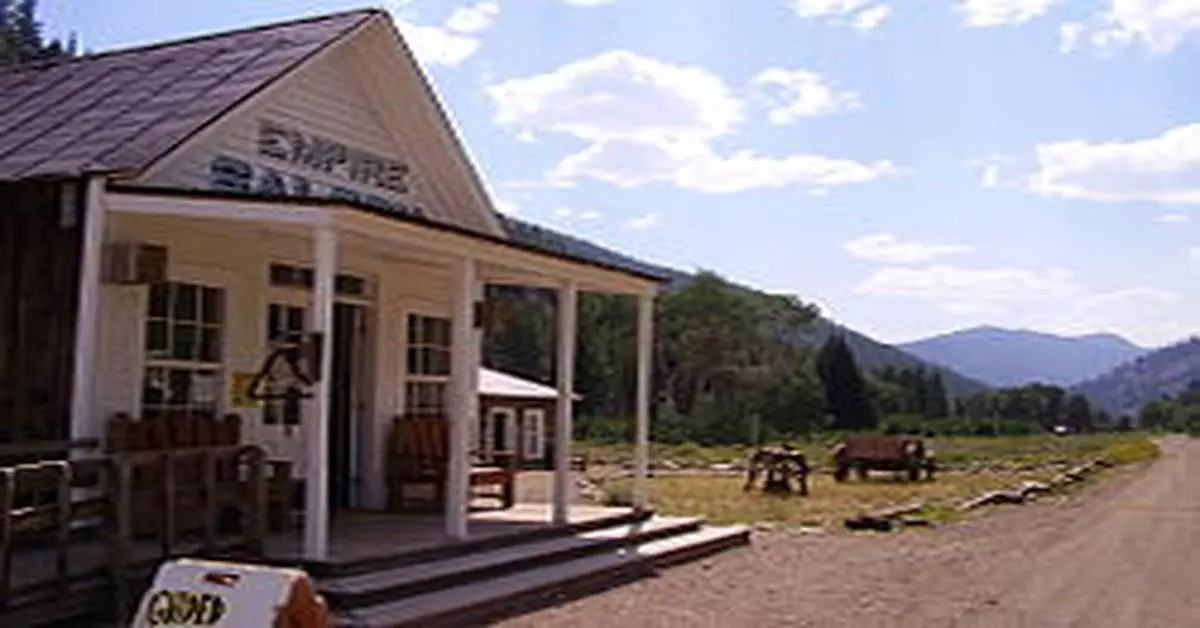
Custer, Idaho, Custer County is an enchanting ghost town that once thrived during the late 19th-century gold rush era. Nestled in the heart of Idaho’s rugged mountains, this deserted town tells the story of a bygone era when dreams of fortune and prosperity were pursued with fervor. Below is detailed information about the town.
County: Custer County
Zip Code: Not available
Latitude / Longitude: 44.3841° N, 114.6964° W
Elevation: Approximately 6,470 feet (1,972 meters)
Time Zone: Mountain Time Zone (MT)
Established: 1877
Disestablished: Early 20th century, around 1910
Comments: Custer was established during the gold rush after significant gold deposits were discovered nearby in the Yankee Fork area. It quickly became a bustling mining town with around 600 residents.
The town featured saloons, general stores, and other establishments typical of a mining community during that period.
Remains: Today, Custer is part of the Land of the Yankee Fork State Park, and several buildings, including the schoolhouse, a saloon, and some homes, have been preserved and restored. The Custer Museum offers visitors insights into the town’s history, featuring artifacts and exhibits related to its mining past.
Current Status: Custer is a historic site and ghost town preserved for educational and recreational purposes. It is managed as part of a state park, allowing visitors to explore its remnants and learn about the area’s mining heritage.
Remarks: Custer’s location in the scenic Salmon-Challis National Forest makes it a popular destination for history enthusiasts and outdoor adventurers. The preservation efforts have allowed visitors to revisit and experience a piece of Idaho’s rich mining history.
Access to Custer is typically via a scenic drive through rugged mountainous terrain, adding to the allure and sense of discovery for those who visit.