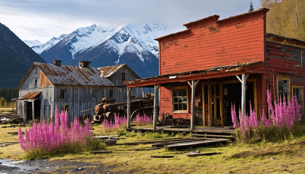
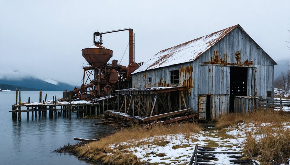
In Alaska’s Wrangell-St. Elias National Park, you’ll find Kennicott, a remarkably preserved copper mining town that flourished from 1911 to 1938. During its heyday, the site’s innovative 14-story mill and four major mines produced over $200 million in copper ore. The town once bustled with 500-600 residents enjoying modern amenities like a hospital, school, and recreation halls. Today, you can explore the carefully restored buildings, where miners’ tools still lie exactly as they were left in 1938—telling stories of an abruptly abandoned industrial empire.
Key Takeaways
- Kennicott was once America’s richest copper mining town, producing over 100 million pounds of copper before its abandonment in 1938.
- The town was suddenly deserted when copper operations ceased, with residents leaving behind personal belongings and equipment.
- The site features a preserved 14-story mill building, assay office, and residential structures from the early 20th century mining era.
- Designated as a National Historic Landmark in 1986, the ghost town is now managed by the National Park Service.
- Visitors can explore the abandoned mining facilities and buildings while learning about Alaska’s copper mining heritage.
The Discovery That Changed Alaska’s Mining History
When prospectors Clarence Warner and “Tarantula Jack” Smith stumbled upon rich copper deposits in 1900, they couldn’t have known their discovery would revolutionize Alaska’s mining industry.
As they examined the limestone-greenstone contact, they uncovered what would prove to be one of the richest copper discoveries in the American West.
You can trace this pivotal moment to their staking of the Bonanza mine outcrop, which marked the beginning of an unprecedented mining boom.
The copper discovery transformed the remote Alaskan wilderness into a thriving industrial center, drawing significant investment and skilled workers to the region.
From untamed wilderness to bustling hub, Alaska’s copper rush brought investment and expertise to transform the frontier landscape.
Within just sixteen years, Kennicott’s mining impact was staggering, producing over 100 million pounds of copper valued at nearly $30 million – a demonstration to the remarkable vision of two prospectors who forever changed Alaska’s economic landscape.
The discovery was particularly significant as samples revealed an extraordinary 70 percent pure chalcocite in the cliffs of Bonanza Peak.
The Kennecott Copper Corporation would go on to establish a self-contained company town complete with a hospital, store, and recreational facilities for its workers.
Building a Mining Empire in the Wilderness
Following Warner and Smith’s monumental discovery, the task of building a mining empire in Alaska’s untamed wilderness demanded unprecedented engineering prowess and financial backing.
The Syndicate invested over $25 million between 1905 and 1911 to develop the region.
You’ll find that the Alaska Syndicate‘s deep pockets transformed this remote location into an industrial powerhouse, starting with the vital construction of the Copper River and Northwestern Railroad in 1907.
The mining innovations that followed were remarkable. The 70% copper ore found at the Bonanza Mine made it one of the richest deposits ever discovered.
You can trace how four major mines – Bonanza, Jumbo, Mother Lode, and Erie – implemented cutting-edge technology like the ammonia-leaching plant to process low-grade ores.
Corporate strategies proved equally impressive, as the Guggenheim and Morgan interests formed the Kennecott Copper Corporation in 1915.
Under Stephen Birch’s leadership, they’d expand globally, turning an isolated Alaskan venture into one of the world’s largest mining operations by the 1920s.
Life in America’s Most Remote Company Town
If you’d lived in Kennicott during its heyday, you’d have experienced a meticulously organized daily routine where miners worked round-the-clock shifts in beds that never went cold, earning $5.25 per day.
Your family would have benefited from extensive community services, including a hospital, school, general store, and even a dairy that supported the town’s 250 residents.
After work, you could have joined other mining families at the recreation halls, tennis courts, or skating rink, participating in a social life carefully designed to maintain worker morale in America’s most isolated company town.
The town’s population consisted of mostly men, with just twelve women residents who served various roles in the community.
Today, this historic site has become a popular disambiguation destination, with multiple Wikipedia entries helping visitors find information about the abandoned mining town.
Daily Worker Routines
As miners clocked in for their daily shifts at Kennecott’s copper mines, a strict routine governed their lives in this remote Alaskan outpost. You’d find yourself among 300 workers maneuvering between the mill town’s distinctive red buildings and another 200-300 laborers heading deep into the mines.
Daily life centered around rigid shift schedules that kept the $200 million copper operation running efficiently. The mill processed ore using the innovative aerial tramway system that transported materials between extraction sites. The operation proved incredibly successful, generating $100 million revenue during its 27-year run.
Your typical day would’ve included:
- Sleeping in shared bunkhouse quarters between shifts
- Taking meals at designated times in community spaces
- Participating in organized recreation activities during off-hours
After work, you’d find entertainment at the Recreation Hall, though without alcohol – that was strictly forbidden in Kennecott.
For those pleasures, you’d need to venture to nearby McCarthy, where the company’s strict rules didn’t apply.
Community Support Systems
Resilience defined life in America’s most remote company town, where Kennecott Copper Corporation built an extensive support system to sustain its isolated workforce.
You’d find a self-contained community with essential services, including a hospital for medical care, a school for workers’ children, and a dairy providing fresh food supplies.
The company fostered community engagement through carefully planned support networks. You could enjoy recreational activities at the tennis court or catch the latest films at the movie house.
The Recreation Hall served as a hub for social gatherings and educational programs. When you needed supplies, you’d visit the general store, while the power plants kept your lights on. The massive mill building dominated the town’s skyline and processed tons of copper ore daily.
For services unavailable in Kennicott, you’d head to nearby McCarthy, creating an interdependent relationship between the two communities.
Mining Family Recreation
Life in Kennicott wasn’t all work and hardship – families found joy and connection through a rich variety of recreational activities.
The 2004 recreation hall became the heart of family bonding, hosting community events and educational programs. Social gatherings included movie nights and dances that brought the entire community together. You’d find families gathering at various company-provided facilities designed to make life more enjoyable in this remote Alaskan outpost.
The Kennecott Copper Corporation guaranteed residents had access to:
- A skating rink and tennis courts for year-round sports
- A recreation hall for indoor entertainment during harsh winters
- The Blackburn School, which served both educational and social functions
Despite the town’s isolation, these recreational activities fostered a tight-knit community spirit.
The company’s investment in these facilities helped transform what could have been a stark mining camp into a vibrant community where families thrived.
The Glory Days of Copper Production
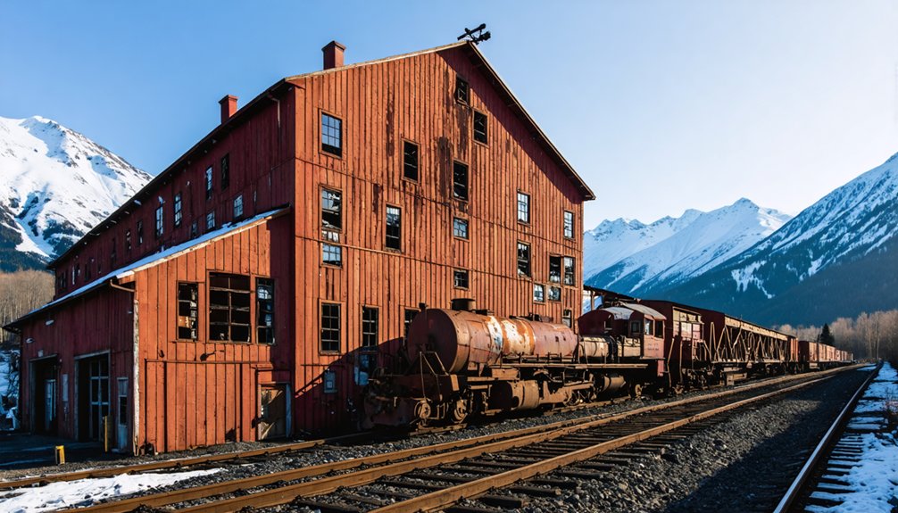
When the Kennecott mines began operating in 1903, few could have predicted their meteoric rise to becoming one of America’s most productive copper operations. The copper boom that followed was extraordinary – by 1916, you’d find miners extracting over 120 million pounds of copper valued at $32.4 million.
What made Kennecott truly remarkable was its cutting-edge mining technology, establishing itself as a model of efficiency in the industry.
You’re looking at some of the world’s richest copper deposits, where the ore was often so pure it didn’t need processing before shipping. From 1915 to 1922, Kennecott ranked among America’s top copper producers, with profits so substantial they funded additional mining ventures.
The operation’s success helped cement America’s position as a leading global copper producer during this pivotal era.
The Day the Town Stood Still
November 1938 marked the abrupt end of Kennecott’s copper empire, as the last train departed with miners and precious ore in tow. Economic decline had finally caught up with this once-thriving industrial powerhouse, forcing a sudden abandonment that would freeze the town in time.
You’ll find evidence of the hasty departure throughout the town’s remaining structures, where workers left behind:
- Personal tools and equipment still arranged on workbenches
- Fully furnished buildings with everyday items in place
- Mining documents scattered across desks, frozen in time
The Great Depression‘s impact on copper prices, combined with depleted ore deposits and skyrocketing railway maintenance costs, sealed Kennecott’s fate.
Within days, the bustling community of 500-600 residents dwindled to nearly zero, leaving a perfectly preserved snapshot of early 20th-century mining life.
Preserving Alaska’s Mining Legacy
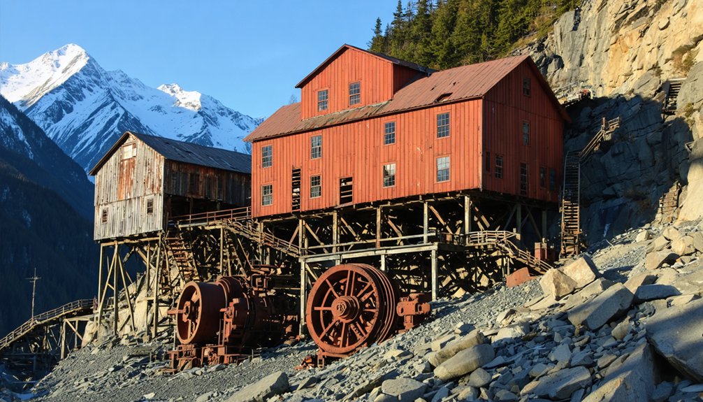
Since its designation as a National Historic Landmark in 1986, Kennecott’s preservation efforts have transformed this abandoned mining town into a living museum of America’s industrial heritage.
You’ll find dedicated organizations like Friends of Kennicott working alongside the National Park Service to protect this remarkable piece of mining heritage.
When you explore the site today, you’ll discover the results of extensive historic preservation work.
The National Park Service’s 1998 acquisition of key buildings marked a turning point, leading to critical projects like hazardous material removal and lead paint abatement.
Acquiring these historic structures in 1998 enabled vital safety work, transforming dangerous abandoned buildings into accessible pieces of mining history.
The 14-story mill building, assay office, and residential cottages stand as monuments to early 20th-century mining innovation.
Through careful restoration, you can now safely explore these structures while learning about Alaska’s copper mining era.
Frequently Asked Questions
What Was the Average Winter Temperature in Kennicott During Mining Operations?
You’ll find winter averages during mining conditions plunged between -40°F to -60°F at night, while daytime temperatures remained brutally cold, making the underground tunnels feel comparatively warmer at 32°F.
How Many Accidents or Fatalities Occurred During the Mine’s 27-Year Operation?
While detailed mine safety records aren’t complete, you’ll find at least 10 documented fatal accidents occurred during operations. Most accident reports involved rock slides, equipment failures, and underground hazards.
What Happened to the Mining Equipment After the Town Was Abandoned?
You’ll find most mining equipment still sits exactly where it was left in 1938, preserved by cold climate and protected as historical artifacts, though some smaller items were scavenged over time.
Did Any Original Kennicott Miners or Their Descendants Return to Live There?
You’d be hard-pressed to find descendant stories of miners returning to live permanently in Kennecott. While a few miner experiences led to nostalgic visits, no original families resettled after 1938’s closure.
Were There Any Documented Paranormal Activities in the Abandoned Buildings?
While you’ll find numerous ghost sightings reported at Kennecott’s buildings, there’s no scientifically verified paranormal activity. Visitors claim hearing voices and seeing apparitions, but official paranormal investigations remain inconclusive.
References
- https://www.kennicottlodge.com/about-the-area/kennicott-national-historic-landmark/
- https://www.atlasobscura.com/places/kennicott-ghost-town
- https://www.legendsofamerica.com/kennecott-alaska/
- https://www.ultimathulelodge.com/blog/169452
- https://www.islands.com/1891808/abandoned-mine-town-kennicott-chitina-alaska-copper-camp-ghost-town-tours-hikes-icy-views/
- https://www.nps.gov/wrst/learn/historyculture/kennecott-mines-national-historic-landmark.htm
- https://en.wikipedia.org/wiki/Kennecott
- https://www.seniorvoicealaska.com/story/2025/10/01/local/haunting-stories-swirl-around-kennecott-copper-mine/4082.html
- https://www.trekalaska.com/wrangell-st-elias-national-park/kennicott-alaska
- https://www.alaska.org/detail/kennicott-mine-ghost-town-walking-tour
