You’ll find Kent’s ghostly ruins hidden in Rhode Island’s woodlands, where stone foundations and wells are all that remains of this mysterious 1800s settlement. Originally established by three English families – the Paines, Hantons, and Shippees – the community thrived on subsistence farming before inexplicably vanishing. Today, you can explore the weathered stone walls and cellar holes, where local legends tell of political exiles, economic hardship, and supernatural occurrences that might explain the town’s sudden abandonment.
Key Takeaways
- Kent, also known as Hanton City, was established in the 1800s by three English families as a sanctuary for religious dissenters.
- The settlement features remaining stone foundations, walls, and wells built without mortar that have endured New England weather.
- Nature has reclaimed the ghost town, with dense vegetation covering the former farmland and building remnants.
- The site’s mysterious decline is attributed to political exile and economic hardship, leading to complete abandonment.
- Local folklore includes ghost stories about female apparitions and supernatural occurrences around the ruins, particularly Devil’s Foot Rock.
The Legend Behind Kent’s Disappearance
While commonly known as Hanton City or Lost City, the abandoned colonial settlement of Kent, Rhode Island has puzzled historians and locals since its mysterious decline in the early 1800s.
You’ll find disappearance theories ranging from political exile to economic hardship, with historical evidence pointing to three English families – the Paines, Hantons, and Shippees – as the original settlers.
Some suggest they were Loyalists seeking refuge during the American Revolution, similar to documented Tory exile Thomas Vernon in nearby Smithfield.
The ghostly legends surrounding Kent’s ruins, particularly its preserved well and stone foundations, have captured imaginations for generations.
Crumbling stone walls and an ancient well stand as silent sentinels, keeping watch over Kent’s mysterious past.
The Alfred Smith Cemetery remains one of the few visible remnants of the former settlement today.
The town’s economy once thrived on stone quarrying and shoemaking, with residents selling handmade shoes in Providence markets.
However, historical records indicate a gradual abandonment rather than a sudden catastrophe, with the last Hanton resident dying around 1900.
Early Settlement and Colonial Life
As Roger Williams established Rhode Island in 1636 as a sanctuary for religious dissenters, the settlement of Kent emerged during a pivotal era of New England colonization.
You’ll find that colonial governance here differed markedly from other settlements, operating under a system that emphasized local authority and community participation through town meetings.
Kent’s early residents embraced the colony’s commitment to religious freedom, a stark contrast to the strict Puritan orthodoxy of neighboring Massachusetts.
Under the 1663 Royal Charter, you’d have witnessed a unique blend of English common law adapted to frontier life. The founders created an egalitarian constitution that became a model for democratic governance in the colony.
Daily existence centered around subsistence farming, small-scale trade, and fishing, while settlers maintained complex relationships with indigenous peoples.
The community’s social structure revolved around religious congregations and mutual support systems, creating a distinctive colonial experience.
The early settlers, including Samuel Gorton, established important mainland communities through direct land purchases from the Narragansett Indians.
Architectural Remnants and Ruins
You’ll find the most enduring architectural remnants of Kent’s ghost towns in their loose-stone foundations, walls, and wells, constructed primarily from local materials without modern mortar.
The settlers’ careful engineering is evident in features like stone-lined wells and cellar foundations with kitchen steps, which have withstood centuries of New England weather. The architectural style exhibits dark red brick construction similar to the historic Pontiac Mill complex, reflecting the region’s industrial heritage. Similar engineering expertise is visible in the cobblestone and mortar construction techniques used in early industrial structures of the region.
The presence of stone piers that once supported wooden corn cribs and the extensive network of stone boundary walls reveals the community’s agricultural focus and property organization methods.
Stone Foundations and Wells
The stone foundations and wells of Kent’s ghost town stand as silent witnesses to colonial New England life. You’ll find these structural remnants hidden beneath vegetation, with cellar holes and stone steps revealing where colonial homes once stood.
The foundations’ stone preservation shows the durability of local quarried materials, supporting wooden buildings that have long since vanished. Like the Stone Mill foundations in Newport, these architectural remnants have endured centuries while puzzling historians about their exact origins. Scientific analysis of the shell lime mortar used in construction helps date these colonial structures.
Wells remain particularly haunting features of the landscape, their stone-lined depths still structurally sound after centuries of abandonment. These water sources, critical for both residents and livestock, showcase colonial well maintenance techniques through their carefully engineered stonework.
Nearby, you’ll discover stone bases of corn cribs and other agricultural structures, while property boundaries remain marked by traditional New England stone walls, all testifying to the thorough integration of stone construction in colonial farm life.
Historic Wall Construction Methods
While exploring Kent’s colonial ruins, you’ll encounter two distinct types of stone wall construction that defined the settlement’s architecture.
The most common are dry stone masonry walls, built without mortar using carefully balanced fieldstones of varying sizes. You’ll notice larger stones at the base for stability, with smaller ones filling gaps above. Similar to the stone property walls that still lie beneath Scituate Reservoir’s waters, these structures demonstrate the region’s historic building practices.
The second type features rubble stone walls bound with lime mortar, primarily used for cellar foundations and structural support. These more durable walls provided essential moisture resistance for wooden buildings above.
You can still spot remnants of both construction techniques throughout the site, though many are now obscured by thick vegetation. The craftsmanship reveals the settlers’ resourcefulness in using local materials and their commitment to building lasting structures.
Agricultural Storage Structures
Beyond the stone walls that marked property boundaries, Kent’s agricultural landscape was dotted with wooden storage structures serving the community’s farming needs.
You’ll find mainly clapboarded sheds with gable roofs, built from local timber, reflecting the area’s practical storage techniques and economic conditions.
These versatile buildings showcase the agricultural evolution of Kent, from simple tool storage to multifunctional spaces. Some of these storage facilities utilized wooden staved tanks for water supply to nearby mill homes.
You can still spot foundations and partial walls of these structures, often with brick bases and remnants of plastered interiors.
Some buildings doubled as retail spaces, featuring recessed entrances and window lighting.
While most survive only as ruins today, they tell the story of Kent’s change from large-scale farming to supporting nearby textile mills, with vertical integration connecting agricultural storage to industrial operations.
Daily Life in a Lost Community

Living in Kent during colonial times meant embracing a self-sufficient farming lifestyle centered around tight-knit family units.
Colonial Kent demanded a deep commitment to farming and family, where self-reliance shaped daily existence and community bonds.
You’d find community dynamics shaped by isolation, where families like the Paines, Hantons, and Shippees worked together to sustain their settlement through shared agricultural practices.
Your daily routine would have included:
- Tending to crops, particularly corn, which you’d store in elevated cribs to protect from moisture and pests.
- Preserving food in your home’s cellar beneath the kitchen for winter months.
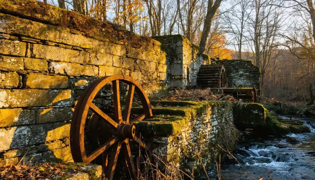
- Managing irrigation using the community dam for reliable water supply.
- Maintaining stone walls and property boundaries through collective labor.
You’d spend most of your time working alongside neighbors, sharing resources, and relying on the centrally-located well for your water needs, all while maintaining the close relationships necessary for survival in this remote settlement.
Natural Reclamation of the Site
Since Kent’s abandonment in the early 1800s, nature has steadily reclaimed the once-thriving settlement through a remarkable process of ecological succession. Dense vegetation now shrouds the site, with large trees growing directly from old cellar holes and foundations.
You’ll find that over two centuries of natural processes have transformed the former farmland into a thriving wildlife habitat.
The original wooden structures have completely decomposed, leaving only weathered stone foundations and walls as evidence of human presence. Plant roots gradually break down these remaining structures while soil accumulates in depressions.
Where farmers once tended crops, you’ll now encounter a rich ecosystem teeming with native fauna – from small mammals to diverse bird species. Even the old dam and wells have surrendered to nature’s persistent reclamation of this historic space.
Historical Documentation and Records
Although historical records of Kent’s early settlement are fragmentary, extensive documentation exists through town council meetings, land surveys, and essential records dating back to the late 1600s.
Despite genealogical challenges in tracking family histories, you’ll find remarkably preserved documentation at the town level, offering insights into the area’s development and decline.
Key historical records include:
- Land and probate documents starting from 1679
- Court records beginning in 1750
- Birth, marriage, and death certificates spanning multiple centuries
- Local architectural surveys documenting building styles and ruins
The decentralized nature of record-keeping means you’ll need to search individual town archives rather than county repositories.
Fortunately, with no recorded courthouse disasters, most historical documents remain intact, allowing you to piece together Kent’s fascinating transformation from settlement to ghost town.
Maps and Geographic Location Details
To reach Kent’s colonial ghost town site, you’ll find it approximately 1.5 miles south of Interstate 95 along State Highway 2, roughly 15 miles south of Providence.
The historic settlement’s road network, while largely obscured by modern development, can still be traced through remaining stone walls and foundations near the Alfred Smith Cemetery.
You’ll notice the original colonial pathways intersected with what’s now State Highway 2, though most visible markers of the old town have been absorbed by the surrounding woodland.
When seeking the remains of Kent’s ghost town in Rhode Island, visitors rely on a complex network of visual navigation markers amid the heavily wooded landscape.
You’ll encounter navigation challenges due to dense vegetation, making traditional landmarks essential for orientation.
Key visual markers you’ll find include:
- Stone foundations and walls that reveal colonial farming structures
- Surviving cellar steps protruding from the forest floor
- Historic cemetery plots, particularly the Greene Lot Cemetery
- A defunct irrigation dam deep in the surrounding woods
Year-round exploration requires careful attention to these markers, as seasonal foliage can obscure important features.
The stone walls serve as your most reliable guideposts, while nearby water features provide additional reference points for mapping your position within the ghost town’s boundaries.
Historic Road Networks
Since King Philip’s War ended in 1676, the road networks of Kent’s ghost town evolved from the settlement patterns of three founding English families – the Paines, Hantons, and Shippees.
These early settlers established pathways that followed natural land contours, using stone foundations as boundary markers while traversing rocky farmland and dense woods.
The road evolution reflected typical colonial New England farming communities, with routes connecting residences, fields, and storage buildings.
Settlement connectivity remained primarily local, with paths linking to Smithfield town despite the relative isolation.
You’ll find the roads were constructed from compacted earth and local stone, designed to withstand harsh New England weather.
While most original pathways are now obscured by vegetation, you can trace their approximate routes along today’s hiking trails, particularly the Hanton City Trail near 70 W. Reservoir Road.
Local Folklore and Supernatural Tales
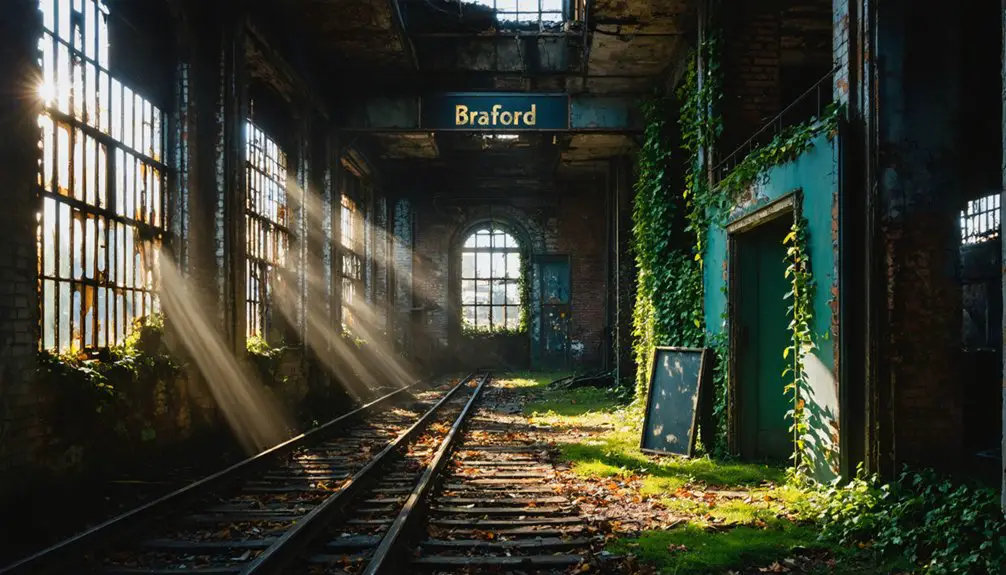
As abandoned buildings crumble in Kent, Rhode Island, the town’s ghostly reputation has grown through generations of supernatural tales and documented paranormal encounters.
The history of Bradford, Rhode Island is intertwined with these eerie legends, as many locals claim to have witnessed inexplicable events. As stories of hauntings circulate, the town’s historical significance continues to draw curious visitors eager to uncover its mysteries. In the backdrop of these chilling narratives, Bradford’s rich cultural heritage serves as a testament to its past.
Exploring ashland ghost town history reveals yet another layer of intrigue within the region’s haunted landscape. This once-thriving settlement, now a mere whisper of its former self, evokes curiosity among historians and thrill-seekers alike. As visitors wander through its remnants, they are often captivated by the stories etched into the very fabric of its abandoned structures.
You’ll find the area steeped in witchcraft legends and unexplained phenomena that continue to intrigue investigators and visitors alike.
Local paranormal hotspots feature:
- Young female apparitions gliding between old cottages
- Johnson Drive’s infamous 13 bumps, said to mark the spirits of executed witches
- Devil’s Foot Rock, where Satan allegedly transformed into a serpent
- Historic properties plagued by unexplained noises and moving objects
The region’s dark history has inspired famous authors like H.P. Lovecraft and Edgar Allan Poe, while paranormal teams regularly document strange occurrences.
Though skeptics dismiss these tales, many locals maintain that Kent’s tragic past manifests through persistent supernatural activity.
Archaeological Discoveries and Findings
Through decades of archaeological exploration, Kent’s Hanton City site has revealed significant colonial-era structural remains and artifacts that paint a vivid picture of 17th and 18th-century settlement life.
You’ll find stone foundations of homes with cellar holes and stone steps, alongside a remarkably preserved stone-lined well. Archaeological techniques have uncovered evidence of agricultural practices, including remnants of a corn crib and irrigation dam.
While artifact analysis has been limited by dense overgrowth, researchers have documented burial sites near the ruins and at the nearby Alfred Smith Cemetery.
The site’s preservation status remains delicate, with large trees growing from cellar holes helping date the settlement’s abandonment. Shell middens containing bones and ceramics provide insights into the settlers’ dietary habits and daily life.
Frequently Asked Questions
Are There Any Surviving Photographs of Kent Before It Was Abandoned?
You won’t find surviving photographs from before abandonment, as historical records don’t mention any photographic evidence of the town. The structures were likely destroyed before photography became widely available.
What Happened to the Personal Belongings of Kent’s Last Residents?
Like those forgotten treasures in your grandma’s attic, most personal belongings were simply abandoned, left to rot, or destroyed when buildings decayed. Any remaining artifacts vanished during reservoir construction demolitions.
Did Any Descendants of Kent’s Original Settlers Remain in Rhode Island?
While you won’t find definitive descendant stories directly in Kent today, family records suggest that some Paine and Shippee descendants likely remained elsewhere in Rhode Island after the settlement’s abandonment.
Were There Any Schools or Churches Built in Kent?
Like ghosts in the mist, you’ll find no surviving schools or churches within Kent’s ghost town limits, though historical records show 7 schools and 6 churches existed in surrounding villages before reservoir construction.
What Crops Were Primarily Grown by Kent’s Farming Community?
You’d find farmers practicing crop rotation with corn as their main crop, alongside potatoes, apples, and hay. They used traditional farming techniques to grow grains and support their livestock operations.
References
- https://www.youtube.com/watch?v=kpy7zlXYrAU
- https://en.wikipedia.org/wiki/Hanton_City
- https://usghostadventures.com/newport-ghost-tour/white-horse-tavern/
- https://usghostadventures.com/providence-ghost-tour/
- https://www.youtube.com/watch?v=hAVOfTGz1Lc
- https://www.youtube.com/watch?v=urcXKCFkjDA
- https://en.wikipedia.org/wiki/Colony_of_Rhode_Island_and_Providence_Plantations
- https://docs.rwu.edu/context/law_fac_fs/article/1082/viewcontent/Researching_the_Laws_of_the_Colony_of_Rhode_Island_and_Providence.pdf
- https://courses.lumenlearning.com/wm-ushistory1/chapter/new-colonies-maryland-connecticut-and-rhode-island/
- https://www.gutenberg.org/files/44955/44955-h/44955-h.htm