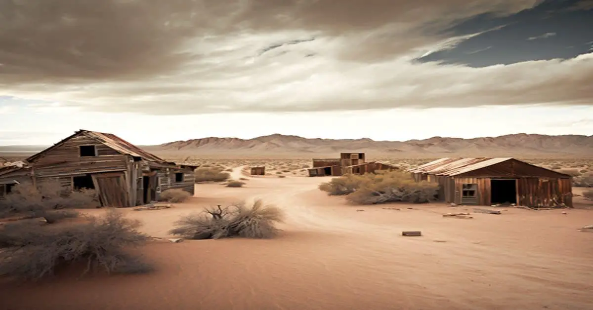
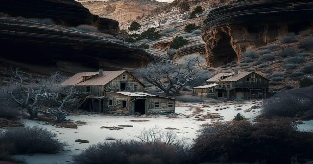
La Panza, California, San Luis Obispo County is a ghost town that whispers tales of its vibrant past, nestled within the rolling hills of California. Once a bustling community, its echoes now invite adventurers to explore its historical depths. Below is detailed information about the town.
County: San Luis Obispo County
Zip Code: Not available
Latitude / Longitude: 35.3544° N, 120.166° W
Elevation: Approximately 1,207 feet
Time Zone: Pacific Time Zone (PT)
Established: 1870s
Disestablished: Early 20th century
Comments: La Panza was initially established during the gold rush era, serving as a supply hub for miners seeking fortune in the surrounding hills. The town’s name, meaning “The Belly” in Spanish, reflects its role as a nourishment point for prospectors. It thrived briefly, largely due to its strategic location and the allure of gold.
Remains: Presently, La Panza’s remnants are minimal, with some foundations and scattered artifacts hinting at its past. The area is mostly rural, with natural overgrowth concealing much of what once was a lively settlement.
Current Status: La Panza is classified as a ghost town. It is largely deserted, with no permanent residents, but visitors interested in its history and the surrounding natural beauty can visit.
Remarks: While La Panza may no longer be a bustling community, its legacy endures through local legends and the enduring curiosity of those who seek a glimpse into California’s gold rush history. The town’s story is a tribute to the transient nature of mining towns and the enduring allure of the American West.


