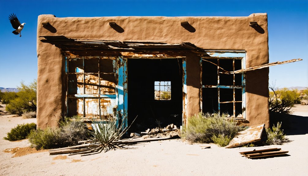
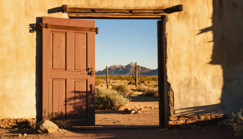
La Paz was Arizona’s first major gold rush town, established in 1862 after Pauline Weaver discovered significant gold deposits near the Colorado River. You’ll find its history marked by rapid growth to 1,500 residents, a thriving steamboat trade hub, and the westernmost Civil War conflict. Nature ultimately sealed its fate when the Colorado River changed course in 1870, and devastating floods around 1910-1912 erased all physical traces. The ghost town‘s dramatic rise and fall reveals Arizona’s boom-bust mining heritage.
Key Takeaways
- La Paz was Arizona’s first major gold rush town, established in 1862 after Captain Pauline Weaver discovered placer gold near the Colorado River.
- The boomtown reached a population of 1,500 before declining when gold deposits were exhausted by 1863.
- A significant shift in the Colorado River’s course in 1870 stranded La Paz from water access, accelerating its abandonment.
- Catastrophic flooding around 1910-1912 erased remaining physical traces of the once-bustling mining town.
- La Paz exemplifies the boom-bust cycle of frontier mining settlements, leaving behind only 687 registered mines across the county.
The Gold Rush Beginnings of La Paz (1862)
When Captain Pauline Weaver discovered placer gold near the Colorado River in January 1862, he unwittingly ignited one of Arizona Territory’s most explosive gold rushes. Guided by indigenous people to Arroyo De La Teneja, Weaver’s find quickly yielded impressive results—a single pan containing over two ounces of gold, while Jose Redondo recovered a substantial nugget nearby.
A chance discovery in 1862 sparked Arizona’s gold fever when Weaver unearthed riches in the Colorado River gravels.
News traveled fast to California, attracting forty prospectors by February. The gold discovery was remarkable for its purity and size, with nuggets weighing up to 47 ounces found free of quartz.
Early mining techniques were straightforward—dry placering and panning in river gravels. Miners earned substantial income despite difficult conditions, with many making $30 to $65 monthly with board provided. As word spread of these extraordinary finds, a settlement named La Paz sprang up, with adobe buildings quickly dotting the landscape near the river.
This remote spot was rapidly transforming into a bustling frontier outpost. The town’s name “La Paz,” meaning peace in Spanish, may have been connected to Weaver’s discovery coinciding with the Feast of Our Lady of Peace.
A Port City on the Colorado River
If you’d wandered the bustling docks of La Paz in the 1860s, you’d have witnessed steamboats constantly arriving with supplies and departing loaded with ore and other goods.
The Colorado River served as La Paz’s lifeline, connecting this remote outpost to Yuma and other settlements through regular riverboat service that transported everything from mining equipment to luxury items like Cuban cigars. The success of these river operations began with the historic voyage of the Uncle Sam on December 31, 1852, which marked the beginning of steam navigation on the Colorado River.
This strategic river port sustained the town long after the initial gold rush fever subsided, creating a commercial hub where adobe buildings housed merchants who supplied the surrounding region. La Paz thrived as the county seat for Yuma County from 1863 until its relocation to Arizona City in 1870.
Steamboat Trade Hub
Established along the banks of the Colorado River in 1862, La Paz quickly emerged as an essential steamboat port connecting Arizona’s interior with California and beyond.
You’d have witnessed vessels traversing between Yuma, La Paz, and numerous mining districts, creating a bustling trade center with a population reaching 1,500 during its heyday.
The intricate steamboat logistics reduced transportation costs for mining operations, allowing heavy equipment and gold ore to move efficiently through established trade routes.
The La Paz-Ehrenberg ferry service further connected Arizona and California, creating a commercial lifeline for the region.
Steamboats charged premium freight rates, reflecting their vital role in the local economy.
The river provided opportunities for activities such as boating and fishing, similar to the recreational options available to modern visitors at the Colorado River today.
Unlike La Paz, Bolivia, which sits at 11,975 feet elevation, this Arizona settlement was at a much lower altitude suitable for riverboat navigation.
This vibrant waterborne commerce ended abruptly in 1866 when the Colorado River shifted westward, leaving La Paz landlocked and triggering its eventual abandonment.
River’s Pivotal Role
Situated strategically along the Colorado River‘s eastern bank, La Paz transformed from a gold mining camp into a thriving port city that served as Arizona Territory’s commercial lifeline in the 1860s.
The river enabled a bustling river commerce network where steamboats transported gold, supplies, and passengers between La Paz and settlements like Yuma and San Bernardino.
You’d find La Paz’s economic dependency on the Colorado River was absolute.
When the river dramatically changed course in 1870, leaving the town stranded two miles from water, La Paz’s fate was sealed.
Without its riverfront position, the once-vibrant port couldn’t sustain its population of 1,500-5,000 residents.
The La Paz-Ehrenberg ferry service, which had been essential to regional trade and migration, became obsolete.
Boom Years: Life in a Frontier Mining Town
During La Paz’s heyday, you’d find miners congregating in the town’s numerous saloons where gambling, drinking, and trading stories of recent gold strikes dominated the evening hours.
Your safety in this frontier boomtown depended on an improvised justice system where disputes were often settled through citizen committees rather than formal courts.
If you’d visited between 1862-1864, you’d have witnessed a diverse community of approximately 1,500 prospectors maneuvering the harsh realities of desert mining life while paying premium prices for basic provisions. Food was especially scarce, with residents subsisting primarily on mosquite beans and fish caught from the Colorado River.
La Paz was one of the significant gold placers discovered during the Civil War period when California troops brought prospectors to Arizona.
Gold Rush Daily Life
When the gold rush fever gripped La Paz between 1862 and 1864, this frontier mining town transformed into a bustling hub of activity with a diverse population that peaked around 1,500 inhabitants.
You’d find miners from California and Sonora working the placers along the Colorado River, using techniques that yielded an impressive 50,000 troy ounces annually.
Daily life centered around the river—adobe buildings clustered nearby for water access and steamboat commerce. Community events likely provided relief from the grueling work and extreme desert heat that drove many away during summers. Just as in Harquahala, the harsh reality of mining life included frequent cases of highgrading among miners who secretly stole valuable high-grade ore.
You’d pay dearly for provisions, straining your earnings as merchants capitalized on isolation.
Saloon Culture Thrived
As La Paz reached its zenith between 1862 and 1864, saloon culture thrived at the heart of this frontier mining community.
You’d find multiple drinking establishments bustling with miners, cowboys, and gaucho-types following established social norms of the Wild West. Hurdy-gurdy girls danced with patrons and served drinks for compensation, while bartenders poured everything from local spirits to imported liquors. The saloons became popular stops along the Ehrenburg-to-Prescott route that transported supplies and passengers throughout the territory.
These weren’t just places to drink—saloons functioned as social institutions where you could enjoy saloon entertainment, purchase Cuban cigars, and even connect with the local brothels.
Business remained robust throughout the boom years, with bars serving as community hubs where miners could escape the brutal desert heat, exchange news about strikes, and blow off steam after long days sifting through gravel for gold nuggets.
Frontier Justice System
The frontier justice system in La Paz operated under a framework both primitive and progressive for its time. As a resident, you’d witness firsthand how territorial courts established in 1864 attempted to bring order to the Wild West, though practical challenges often rendered these institutions ineffective.
La Paz’s law enforcement reality included:
- Makeshift detention facilities where prisoners were often chained in adobe structures or private residences.
- Circuit-riding judges who visited only quarterly, creating long waits for trials.
- Preliminary examinations by Justices of the Peace to determine if evidence warranted holding the accused.
- Frequent escapes across the nearby Mexican border, where pursuit was virtually impossible.
This fragile system of frontier justice led many residents to take matters into their own hands, particularly against minorities who suffered disproportionately under vigilante actions.
The Civil War Connection: The La Paz Incident
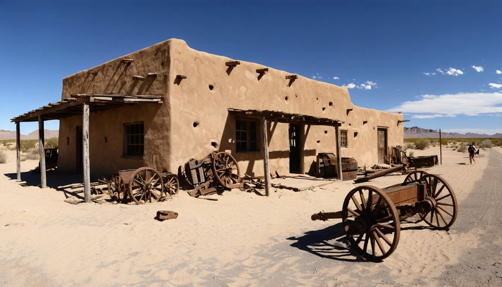
While many historians focus on eastern Civil War battlefields, few realize that La Paz witnessed what would become the westernmost violent conflict of America’s bloodiest war.
On May 20, 1863, William Edwards, a known Confederate sympathizer previously detained at Fort Yuma, attacked Union soldiers at a local store, killing two and wounding a bystander.
The Union’s response was swift. Forty cavalry troopers pursued Edwards, who fled into the harsh desert landscape. Days later, they discovered his body—death by exposure rather than combat had claimed him.
This incident followed the Confederate withdrawal from Arizona after their brief occupation of Tucson in early 1862, demonstrating that Confederate sympathizers remained active in the territory despite Union control under General Carleton’s command.
Natural Forces and Economic Decline
Following the violent echoes of the Civil War incident, La Paz would soon face enemies far more insurmountable than political divisions: nature itself and economic reality.
The town’s downfall came through a perfect storm of economic downturns and environmental impacts that you’d recognize as fatal to any frontier settlement:
- The Colorado River’s course shift in 1870 stranded La Paz two miles from water, destroying its value as a steamboat landing.
- Gold deposits exhausted by 1863, just one year after founding, yielding only $2 million over 74 years.
- Population collapsed from 1,500 to 254 by 1870, followed by loss of county seat status.
- Nature delivered the final blow around 1910-1912 when catastrophic flooding erased all physical traces.
These forces transformed a bustling gateway into desert dust, leaving nothing for you to visit today.
What Remains Today: Visiting the Ghost Town Site
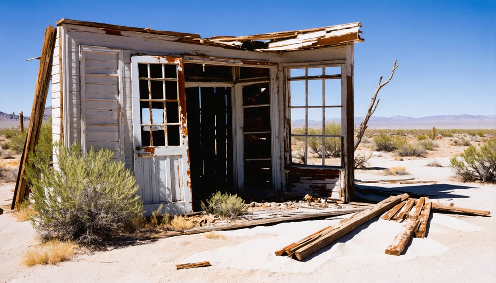
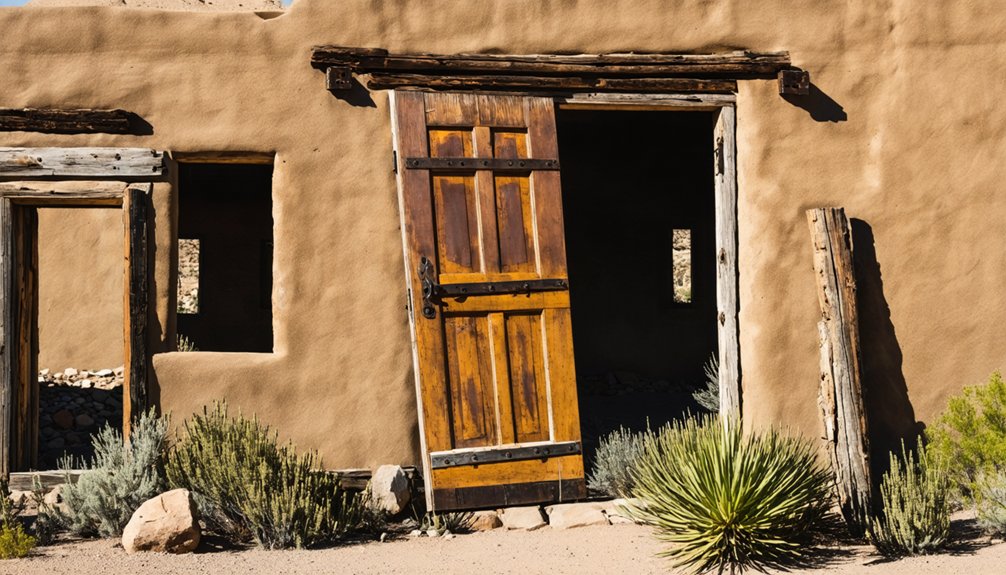
Weathered by time and reclaimed by the desert, La Paz exists today as little more than scattered ruins and fading memories across its original townsite.
When you visit, you’ll find adobe wall fragments and architectural remnants scattered among the desert landscape, creating a site of genuine archaeological significance.
The abandoned gold dredging structure stands as the most prominent feature, surrounded by safely covered mine shafts and industrial debris that testifies to the $8 million gold extraction operation.
Interpretive signs guide your exploration through this remote outpost, which sits just two miles from the Colorado River that once supported riverboat traffic.
Your visitor experience requires preparation—bumpy dirt roads, extreme heat, and no modern facilities await in this BLM-managed landscape where freedom and history converge.
La Paz in Historical Records and Photographs
Although the physical remnants of La Paz have largely vanished, a rich collection of historical records and photographs preserves this once-thriving gold rush town for posterity.
The echoes of La Paz’s golden era live on through carefully preserved documents despite its physical disappearance from the Arizona landscape.
Historical documentation offers you glimpses into the boomtown’s brief but significant existence in pre-territorial Arizona.
Key photographic evidence and records include:
- An 1890s photograph showing La Paz already in ghost town status
- The September 1958 Desert Magazine article “Boom Days In Old La Paz” featuring five photographs and detailed maps
- Territorial records of births, marriages, and land transactions from 1863-1875
- Documentation of the 1863 La Paz Incident, marking the westernmost Civil War confrontation
These artifacts provide tangible connections to La Paz’s pioneering spirit before the Colorado River’s course change sealed its fate.
The Legacy of La Paz in Arizona’s Mining History
La Paz stands as a pivotal chapter in Arizona’s mining history, marking the territory’s first major gold rush and establishing patterns that would define western mining development for decades.
The economic impact of La Paz was staggering—yielding approximately $8 million in gold (about $154 million today) through mining techniques that focused primarily on placer operations.
You can trace much of Arizona’s early infrastructure development to this rush, which transformed a remote territory into a commercial hub worthy of consideration for the territorial capital.
Though La Paz ultimately faded, its legacy lives on in the 687 registered mines across the county and in the boom-bust cycle that became characteristic of western mining towns.
The settlement’s rapid rise and fall demonstrated how mining economies could dramatically reshape landscapes before disappearing almost as quickly as they emerged.
Frequently Asked Questions
Were Any Famous Outlaws or Notable Figures Associated With La Paz?
While outlaw legends remain sparse, you’ll find Pauline Weaver stands as La Paz’s most notable resident—the prospector who discovered gold there while maneuvering between native tribes and early territorial conflicts.
What Indigenous Tribes Inhabited the Area Before La Paz Was Established?
You’ll find that Hualapai people primarily inhabited this region, alongside their Pai confederation relatives including Yavapai. The area also saw influence from Yuma tribe settlements and earlier Hohokam culture archaeological evidence.
How Much Gold Was Extracted During La Paz’s Mining Years?
Imagine panning a fortune in sun-drenched waters! You’d have joined miners who extracted approximately 100,000 ounces of placer gold and 2,400 ounces from lode deposits during La Paz’s mining history (1862-1974).
Are There Any Reported Hauntings or Supernatural Occurrences at the Site?
You won’t find documented ghost sightings at La Paz. Unlike nearby Arizona ghost towns, it hasn’t attracted paranormal investigations. The site’s complete destruction by flooding in 1910 left little for spirits to haunt.
Did La Paz Have Schools, Churches, or Other Community Institutions?
You’d find minimal education facilities in La Paz. The post office (1865-1875) served as the main government presence, while community gatherings centered around commerce rather than churches or established social institutions.
References
- https://www.ghosttowns.com/states/az/lapaz.html
- https://www.youtube.com/watch?v=jX0c9ZkFmho
- https://digital-desert.com/la-paz-az/la-paz.html
- https://www.arizonahighways.com/article/arizona-ghost-towns
- https://kids.kiddle.co/La_Paz
- https://www.youtube.com/watch?v=wGjzLKKBeqc
- https://digital-desert.com/la-paz-az/
- http://genealogytrails.com/ariz/lapaz/history_towns.html
- https://www.mindat.org/loc-6419.html
- https://thediggings.com/mining-districts/az280
