You’ll find Lavers’ Crossing at the intersection of White River and Jack Ranch Roads in Kern County. This California Historical Landmark No. 672 was once a thriving stagecoach stop established in 1854 by John C. Reid and developed by David Lavers. From 1858-1870, it served as Linn’s Valley’s commercial hub before declining due to shifting transportation routes. The abandoned site now stands as a monument to California’s boom-and-bust frontier settlements, its silent ruins holding forgotten stories.
Key Takeaways
- Established in 1859, Lavers’ Crossing was once a vital stagecoach stop connecting the Kern River region to southern mountain passes.
- The crossing became a California Historical Landmark No. 672 in 1959, marking its significance in early state settlement patterns.
- Economic decline began around 1870 due to changing transportation routes, transforming it from a bustling outpost to a ghost town.
- The site served as Kern County’s first commercial center from 1858-1870 before its eventual abandonment.
- Today, visitors can explore the self-guided site during daylight hours, though no facilities or amenities are available.
The Founding Years: John Reid and David Lavers’ Vision
When John C. Reid filed his squatter’s claim in 1854 at Lavers Crossing, he established the legal foundation for what would become a crucial community hub. This pioneering spirit set the stage for Kern County’s earliest developments, including the first school class that same year.
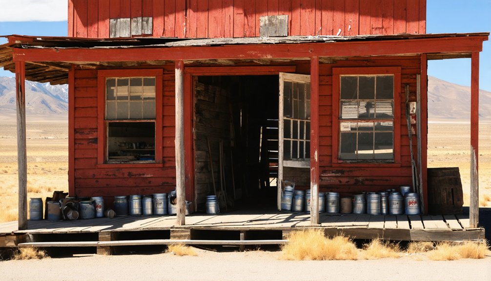
Five years later, David Lavers capitalized on this foundation, bringing his family’s entrepreneurial vision to life. Together with his father and brother John, they constructed a hotel and stage barn along Bull Road, transforming the crossing into a nexus for travelers and settlers alike. The area became a significant stopover on the old Bull Road, providing essential services to those traversing the region.
Their strategic infrastructure investments anticipated the region’s growth patterns and facilitated community development throughout Linn’s Valley. The site is now situated at the northeast corner of White River and Jack Ranch Roads, approximately 1.1 miles west of Glennville. You’ll find their legacy in how they positioned the crossing as the valley’s principal community until approximately 1870, creating a sustainable center for commerce and social interaction.
Strategic Location Along the Bull Road
You’d find Lavers’ Crossing situated at the significant intersection of White River and Jack Ranch Roads, forming a strategic junction along the essential Bull Road transportation corridor.
This crossroads position, just 1.1 miles west of Glennville, established the settlement as both a gateway to Linn’s Valley and a crucial travelers’ supply station where stage operations facilitated mail delivery between Sacramento Valley and southern California destinations.
The location’s geographic advantages naturally funneled regional traffic through this hub, enabling it to flourish as a commercial center with vital services for teamsters, stockmen, and passengers traversing this primary overland passage. The establishment of David Lavers’ hotel and stage barn in 1859 further cemented the crossing’s importance as a rest stop for weary travelers.
Strategic Crossroads Junction
Lavers’ Crossing occupied a pivotal geographic position at the convergence of White River Road and Jack Ranch Road, establishing it as a strategic crossroads along California’s historic Bull Road.
Situated at 3,041 feet elevation, you’ll find yourself standing at the critical junction that once connected the Kern River region to southern mountain passes, including Tehachapi.
This crossroads bears significant transportation legacy as it linked the north-south Stockton-Los Angeles Road near Fountain Springs, creating an extensive network for stagecoaches and freight.
When you visit, you’re standing where gold-seekers, emigrants, and settlers once traversed during the 1854 Kern River Gold Rush.
The historical significance of this junction can’t be overstated—it served as the gateway connecting the San Joaquin Valley to the Sierra Nevada foothills.
During the peak of activity, Lavers’ Crossing operated as a stage house and hotel for travelers making their way through the region during the Kern River Gold Rush.
Travelers’ Supply Station
Established during the pivotal 1850s Gold Rush period, the Travelers’ Supply Station at Lavers’ Crossing emerged as an indispensable infrastructure hub along California’s historic Bull Road.
The strategic positioning at this transportation nexus enabled the Lavers family to develop extensive traveler accommodations, including their hotel and stage barn complex constructed in 1859.
You’d have found this operation serving multiple critical functions—providing lodging for merchants and prospectors, maintaining stagecoach services, and distributing supplies to surrounding mining settlements.
The crossing’s dual hospitality-commercial design created a self-contained ecosystem supporting the transient populations driving regional economic growth.
As the primary supply routes converged at this junction, Lavers’ Crossing maintained its position as the principal community in Linn’s Valley until approximately 1870, facilitating the movement of goods and people throughout this frontier territory. The site also hosted the first school class in Kern County in 1854, further cementing its importance as a center of early community development.
Gateway to Linn’s Valley
Situated at the strategic intersection of White River Road and Jack Ranch Road, the once-thriving settlement of Lavers’ Crossing commanded a pivotal position along the historic Bull Road just 1.1 miles west of Glennville. This location established its historical significance as the gateway to Linn’s Valley, connecting the San Joaquin Valley with the southern Sierra Nevada.
The crossing’s strategic position facilitated community growth as the principal settlement in the region from 1854 to 1870.
When you visit this historic site, you’ll appreciate how it:
- Marked a critical junction where travelers, goods, and livestock moved through Kern County’s challenging terrain
- Anchored the valley’s early development with the first school established in 1854
- Operated as the essential arterial hub that sustained the region’s agricultural and ranching economy
Kern County’s First Educational Institution
While many consider the Greenacres/Fruitvale School to be Kern County’s first educational institution, the county’s formal educational system actually began taking shape in November 1866 with the organization of its initial school districts.
You’ll find that early districts emerged in Tejon, Havilah, Kelso Valley, and Lynn’s Valley, where education history was just beginning to unfold.
These pioneer schools operated just seven months yearly with minimal enrollment—some having fewer than 90 students by 1870.
Early teachers like Callie Gilbert and the Underwoods taught basic reading, writing, and arithmetic in modest conditions. Decades later, the Sisters of Mercy would establish St. Francis Elementary School in 1910, bringing Catholic education to the region.
The first proper schoolhouse wasn’t built until 1876 on Truxtun Avenue, featuring two classrooms and an upper hall, followed by more substantial brick structures in 1877-1878. This area would later become significant in the county’s educational development when Kern County High School opened its doors with just 32 students in January 1893.
Commercial Hub of Linn’s Valley (1858-1870)
At the convergence of White River and Jack Ranch Roads, Lavers’ Crossing emerged as the principal commercial center of Linn’s Valley between 1858 and 1870.
David Lavers’ establishment of a hotel and stage barn in 1859 transformed this strategic intersection along the Bull Road into an essential hub for trade routes connecting Kern County to surrounding regions.
A frontier visionary’s strategic investment birthed a vital crossroads for commerce and community in early Kern County.
You’d find the crossing bustling with activity as stagecoaches stopped, farmers traded goods, and settlers exchanged news.
The site functioned as both marketplace and social center where community gatherings shaped the valley’s identity.
- Feel the vibrant pulse of frontier commerce as travelers and locals bartered for essentials
- Imagine the freedom of movement this crossroads provided to isolated homesteaders
- Witness the bittersweet change as shifting transportation patterns gradually diminished the crossing’s significance
Daily Life at the Crossing
Beyond the crossroads where wagon wheels once carved paths into dusty soil, daily life at Lavers’ Crossing revolved around a delicate balance of survival, community, and frontier commerce.
You’d have witnessed residents rising with the sun, tackling physically demanding pioneer routines that stretched from dawn until dusk.
The hotel served as the settlement’s social nucleus, where you could exchange news while travelers shared stories from distant territories. Similar to Forest City, the journey to reach the nearest major town required traversing rough, winding roads.
Your diet would have consisted of locally grown crops, foraged plants, and goods from passing traders.
Seasonal community gatherings provided essential respites from isolation, strengthening bonds among settlers who faced common struggles.
Education occurred in rudimentary facilities, with children’s attendance fluctuating with agricultural and mining demands.
Your communication with the outside world arrived via stagecoach mail, tethering this remote outpost to civilization beyond the valley.
The Decline and Abandonment
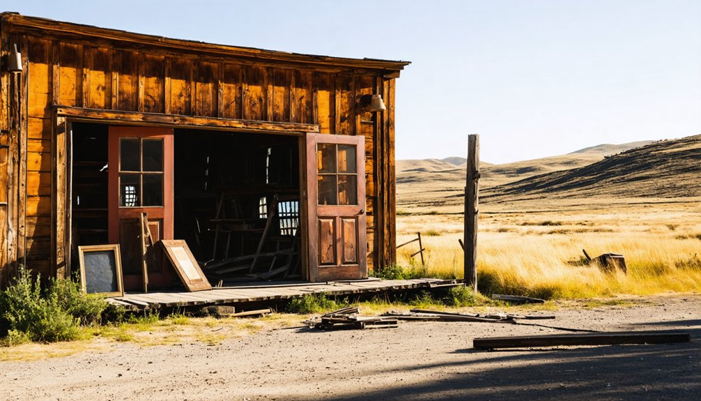
Despite its promising beginnings as a central trading post, Lavers’ Crossing experienced a rapid decline that transformed it from a bustling frontier outpost to an abandoned ghost town within two decades of its peak activity.
The settlement’s economic decline began around 1870 when transportation routes shifted away from the old Bull Road, rendering the stage barn operations increasingly obsolete.
Three factors sealed Lavers’ Crossing’s fate:
- Infrastructure challenges isolated the settlement as it sat 1.1 miles from emerging Glennville
- Shifting regional settlement patterns drew population centers away from Linn’s Valley
- Competition from better-positioned communities with superior access to newer transportation networks
Visiting the Historic Site Today
While many ghost towns across California’s historic regions retain some physical structures, Lavers’ Crossing exists today primarily as a commemorative site marked by California Historical Landmark No. 672.
You’ll find this historic location at the intersection of Jack Ranch and White River Roads, about 1.1 miles west of Glennville via State Route 155.
Your visitor experience will be self-guided, as no facilities exist on-site. The historical significance of this former stage stop is documented on the landmark plaque, registered in 1959.
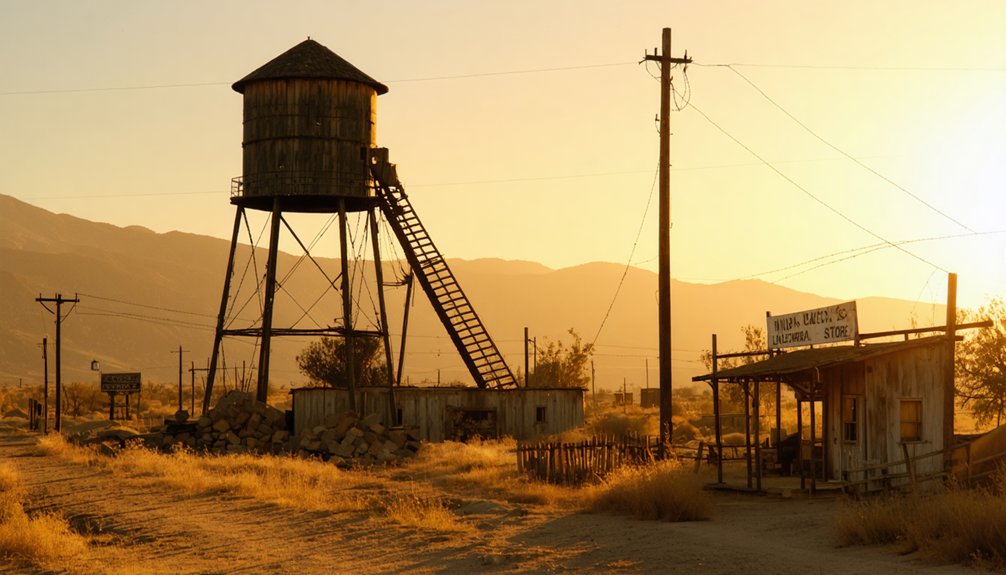
For ideal exploration, arrive during daylight hours and bring supplies—no amenities are available. Like many towns established during the mid-1800s gold rush, Lavers’ Crossing represents California’s boom-and-bust settlement pattern.
Consider expanding your journey to nearby attractions like Silver City Ghost Town or the Garces Baptismal Site to complete your historical tour of Kern County’s forgotten settlements. The Historical Marker Database provides comprehensive information about these and hundreds of other historical sites throughout Kern County.
Frequently Asked Questions
What Indigenous Tribes Inhabited the Area Before Lavers’ Crossing Was Established?
The Tübatulabal people primarily inhabited this area, with neighboring Tribal Territories including Kawaiisu, Yokuts, Paiute, and Chumash. These Indigenous Cultures thrived across the region’s diverse landscapes for millennia.
Did Any Famous Historical Figures Ever Stay at Lavers’ Hotel?
You won’t find any famous guests in historical accounts of Lavers’ Hotel. No documentation exists mentioning notable figures staying there—the hotel primarily served local travelers and stagecoach traffic.
Were There Any Notable Crimes or Lawlessness at Lavers’ Crossing?
Despite scanning the historical data like Google Earth, you’ll find no significant crime history at Lavers’ Crossing. Historical records show no notable lawlessness, with order maintained through informal community structures rather than formal law enforcement.
What Happened to the Lavers Family After the Town Declined?
You’ll find no definitive records of the Lavers family’s fate after 1870. Their legacy remains primarily through the landmark designation, while their descendants’ whereabouts aren’t documented in available historical accounts.
Are There Any Archaeological Excavations or Artifacts Recovered From the Site?
Like many overlooked frontier sites, archaeological findings at Lavers Crossing remain virtually nonexistent. You won’t find documented excavations or artifact analysis, as no formal archaeological work has been conducted at this location.
References
- https://ohp.parks.ca.gov/?page_id=21423
- https://www.hmdb.org/m.asp?m=25323
- https://www.youtube.com/watch?v=ElbXVNDurPc
- https://en.wikipedia.org/wiki/List_of_ghost_towns_in_California
- https://noehill.com/kern/cal0672.asp
- https://ohp.parks.ca.gov/listedresources/Detail/672
- https://sierranevadageotourism.org/entries/lavers-crossing-no-672-california-historical-landmark/134c2b8b-1e35-48c1-bfb8-a5cd0a7e72f9
- https://www.blm.gov/visit/fort-sage-highway-vehicle-area
- https://landmarkquest.com/omeka/items/show/434
- https://www.wikiwand.com/en/articles/List_of_ghost_towns_in_California


