You’ll find the submerged ghost town of Linwood beneath Flaming Gorge Reservoir along the Utah-Wyoming border. Founded in 1900 by George Solomon and later developed by Keith Smith, this sheep-ranching community thrived until federal flood management plans in the 1960s forced residents to relocate. The town, named for its abundant linden trees, now rests 170 feet underwater where Henry’s Fork meets the Green River. Its story of cross-border commerce and Saturday night revelry at the Bucket of Blood Saloon lies waiting to surface.
Key Takeaways
- Linwood was a thriving sheep-ranching community in Utah that now lies submerged beneath 170 feet of Flaming Gorge Reservoir water.
- Founded around 1900 by George Solomon, the town straddled the Utah-Wyoming border and featured the popular Bucket of Blood Saloon.
- The federal government’s flood management plans in the 1960s forced residents to relocate or accept buyouts for their properties.
- The town’s location at Henry’s Fork’s junction with Green River made it a prime target for the Flaming Gorge Reservoir project.
- Linwood’s site remains underwater at the western end of Flaming Gorge Reservoir, approximately five miles east of present-day Manila.
A Border Town’s Humble Beginnings
While many western settlements emerged organically around mining or railroad activities, Linwood’s establishment followed a more deliberate path.
Unlike other frontier towns born from gold rushes or railways, Linwood was carefully planned from the start.
You’ll find its roots in George Solomon’s vision around 1900, as he recognized the potential of the cottonwood-rich landscape where Henry’s Fork met the Green River.
Keith Smith, an eastern entrepreneur, purchased and developed the site in 1902, launching formal community establishment.
What made Linwood unique was its position straddling the Utah-Wyoming border along the 41st parallel.
Early settlers quickly capitalized on the area’s natural advantages, utilizing bottomlands for irrigation and higher ground for sheep ranching.
The town’s strategic location at the river confluence made it an ideal hub for local trade, drawing both farming families and sheep ranchers to build their futures there.
Like many towns named for their natural surroundings, the settlement drew its name from the abundant linden trees in the area.
The community grew to include a bustling commercial district with post office and stores, serving the needs of residents and travelers alike.
Life Along Henry’s Fork
As you explore the rich history of Henry’s Fork, you’ll discover a vibrant ecosystem that supported diverse human activities for over a century. Named after explorer Andrew Henry, this 1.7-million-acre watershed boasts over 3,000 miles of waterways fed by natural springs and mountain streams, creating remarkable ecological diversity. The area’s native Shoshone tribes traveled seasonally between elevations to hunt and gather resources.
You’ll find traces of early settlements along these waters, from Uncle Jack Robinson’s 1834 cabin to Jim Baker’s Trading Post. The area became an essential gathering point for trappers, traders, and explorers. Local legend tells of Butch Cassidy’s hideouts scattered throughout the rugged terrain.
Henry’s Fork’s confluence with the Green River drew diverse characters seeking opportunity in this dynamic landscape. The dramatic Flaming Gorge, named by John Wesley Powell in 1869, stood as a reflection of the region’s stunning geological features that attracted settlers and defined life in this untamed territory.
The Bucket of Blood and Social Scene
During the late 19th and early 20th centuries, the notorious Bucket of Blood Saloon anchored Linwood’s vibrant social scene just inside the Wyoming border. You’d find professional gamblers, wealthy sheepmen, and notorious outlaws like Tom McCarthy and Kid Curry mingling in this rough-and-tumble establishment, where the saloon culture thrived on liquor, entertainment, and a wild gambling atmosphere.
Beyond the Bucket, Linwood’s dance halls and boarding houses pulsed with Saturday night revelry. The town’s position on the Utah-Wyoming line created a unique social dynamic, as visitors crossed state boundaries seeking different legal conditions and entertainment options. Davy Crockett Fort, established in 1837, provided early military presence in the region. Like many railroad towns of the era, Linwood’s development was closely tied to transportation routes that brought visitors and commerce.
The sheep industry’s prosperity fueled this bustling nightlife, with ranchers spending their earnings at various establishments. This freedom-loving spirit defined Linwood’s character until the 1920s, when the decline of sheep ranching dimmed the town’s social significance.
Cross-Border Commerce and Culture
Located at the confluence of Henry’s Fork and the Green River, Linwood’s position on the Utah-Wyoming border created a distinctive commercial and cultural hub that shaped regional development.
Cross border trade flourished as merchants served populations from both states, with the sheep industry driving economic growth.
You’d find a vibrant mix of commerce extending across state lines, from mercantile stores to hotels. The iconic “Stateline” School, built directly on the border, exemplified this unique cultural exchange, operating under different state laws depending on circumstances.
Social gatherings at establishments like Bob Swift’s Bucket of Blood Saloon brought together diverse crowds of traders, sheepmen, and locals from both states.
This cultural fusion lasted until improved transportation in the 1920s shifted regional dynamics, leading residents to increasingly favor larger Wyoming towns.
The Last Days Above Water
During the late 1950s, you’d find Linwood’s remaining residents packing up their lives as the federal government’s plans for Flaming Gorge Reservoir took shape.
You can trace how families either relocated their homes to higher ground or accepted buyouts, while federal crews systematically demolished structures that couldn’t be moved.
Relocating Homes and Lives
As the Flaming Gorge Reservoir project loomed in the late 1950s, Linwood’s residents faced the formidable task of dismantling their lives and relocating their homes before the waters claimed their town.
In a display of community resilience, families coordinated with government agents to transport salvageable buildings over challenging terrain. You’d have witnessed homes being carefully loaded onto trailers, while other structures, too remote or damaged, met demolition. Much like the unmarked grave sites in Glenwood’s Potter’s Field, many original building locations were lost to time.
The process required precise timing and logistics, ensuring all structures were cleared before flooding began. Historical preservation efforts couldn’t save every building, but some ranch structures found new purpose elsewhere.
The relocation scattered multi-generational ranching families who’d built their livelihoods in the valley, forcing them to adapt to new communities while carrying their heritage forward in memory.
Federal Plans Take Effect
When the federal government initiated land acquisition for the Flaming Gorge Reservoir in the late 1950s, Linwood’s fate was sealed. Federal policies prioritized regional water management over the preservation of local communities, forcing residents to abandon their homes and livelihoods.
You’ll find that this pattern of displacement wasn’t unique to Linwood – it reflected a broader trend of federal infrastructure projects reshaping the American West. The dramatic transformation of waterways would later inspire efforts to protect ecosystems through Beaver Dam Analogs. Similar to Sevier Lake, these changes have led to significant water scarcity issues affecting local ecosystems.
The Bureau of Land Management took control of the surrounding area, transforming agricultural lands into what would become a massive reservoir. As federal plans took effect, officials systematically razed or relocated Linwood’s remaining structures.
The government’s compensation couldn’t replace the irreversible loss of community ties and cultural heritage. Today, you won’t find any visible remains of Linwood – it rests beneath the waters of Flaming Gorge Reservoir.
Waters Rise Over Linwood
The rising waters of Flaming Gorge Reservoir began their slow but relentless march over Linwood’s landscape in the early 1960s.
You’d have witnessed the systematic transformation of fertile valley lands as federal flood management initiatives submerged the town beneath 170 feet of water. Despite their community resilience, residents watched helplessly as the waters first claimed their agricultural fields and sheep pastures, then crept toward their homes and businesses.
The flooding progressed faster than expected, forcing families to abandon the Smith and Larsen Mercantile, the Stateline School, and generations of memories. Similar to the fate of Fort in Santa Clara in 1861, the entire community was swept away by rising waters.
As spring runoffs accelerated the reservoir’s fill rate, you’d have seen cottonwood trees drowning and shorelines destabilizing. The inundation reshaped local hydrology, transforming Linwood into an underwater ghost town at the convergence of Henry’s Fork and the Green River.
Beneath Flaming Gorge Today
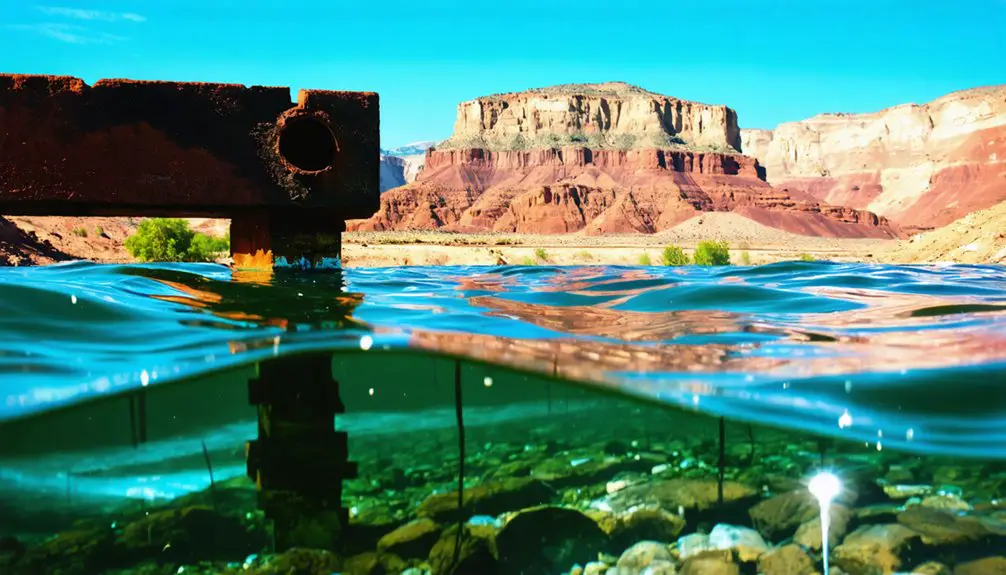
Today you’ll find Linwood’s townsite resting beneath the depths of Flaming Gorge Reservoir, where Henry’s Fork meets the Green River.
You can locate the original site by following the reservoir’s western shoreline to the confluence point, though no physical traces of structures remain underwater.
While modern boaters cruise above the submerged town, archaeological surveys suggest building foundations and other artifacts likely persist on the reservoir floor, preserved by the cold, dark waters.
Underwater Ruins Today
Deep beneath Lucerne Bay‘s waters in Flaming Gorge Reservoir lies what remains of Linwood, a once-thriving sheep-ranching community.
You won’t find much of this submerged history today, as authorities cleared most structures before flooding the town in the 1960s.
While underwater archaeology hasn’t revealed significant physical remains, historical records tell us what you would’ve found at this drowned intersection of Henry’s Fork and the Green River:
- The infamous “Bucket of Blood” saloon that straddled the Utah-Wyoming border
- A unique bi-state public school serving both territories
- Multiple mercantile stores and hotels supporting the sheep industry
- A post office that operated from 1903 until final closure in 1958
Today, only boat-based recreation marks this spot where a vibrant community once stood.
Original Site Location Guide
While modern visitors gaze across Lucerne Bay’s waters, pinpointing Linwood’s exact location requires understanding its distinctive geographic markers.
You’ll find the submerged townsite at the western end of Flaming Gorge Reservoir, where Henry’s Fork once met the Green River. The Utah-Wyoming border at the 41st parallel bisected this unique bi-state settlement.
To locate Linwood’s historical footprint, look for the area now called Linwood Bay, approximately five miles east of present-day Manila.
The original Green River channel remains visible from viewing points above the reservoir. The towering Uinta Mountains provide a southern reference point, while the former bottomlands – once dotted with cottonwood trees and irrigated farms – now rest peacefully beneath the reservoir’s surface.
Frequently Asked Questions
How Many People Lived in Linwood During Its Peak Population Years?
Like shadows in time, you’d find several hundred people at most lived there during peak years, before economic factors triggered population decline in the sheep-ranching community.
Were There Any Notable Crimes or Outlaw Incidents in Linwood’s History?
You won’t find documented outlaw activities or specific crime statistics for Linwood, though its “Bucket of Blood” saloon suggests rough encounters. Local tales hint at gambling and rowdy behavior but lack verified incidents.
What Native American Tribes Originally Inhabited the Linwood Area?
You’ll find the area was originally home to the Uintah Ute band, who controlled nearly 150,000 square miles of northeastern Utah’s territory, including the strategic lands where Linwood later stood.
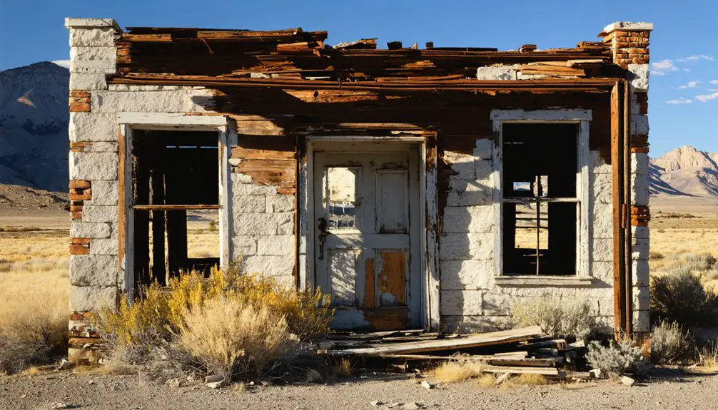
Today, remnants of the past can still be explored, and numerous ghost towns near Joy, Utah, offer a glimpse into the lives of those who once inhabited the region. These abandoned settlements, with their crumbling buildings and vacant streets, tell stories of hope and hardship. Visitors are drawn to the eerie ambiance and rich history that these sites encapsulate, making them a fascinating destination for history enthusiasts and adventurers alike.
Did Any Famous Historical Figures Ever Visit or Stay in Linwood?
You won’t find records of famous visitors in Linwood’s history. While the town had regional historical significance through its saloons and sheep trade, no nationally known figures were documented staying there.
What Happened to the Graves and Cemeteries When the Reservoir Was Created?
Like scattered memories beneath the waves, you’ll find that while some graves likely faced relocation, many cemetery sites were simply submerged when the reservoir filled, their preservation limited to historical records.
References
- http://genealogytrails.com/utah/daggett/history.html
- https://stories.utahhumanities.org/stories/items/show/222
- https://en.wikipedia.org/wiki/Linwood
- https://www.youtube.com/watch?v=AoiIha-3iNo
- https://www.familysearch.org/en/wiki/Utah_Ghost_Towns
- https://kids.kiddle.co/Linwood
- https://www.hmdb.org/m.asp?m=90096
- https://fillmorecity.org/wp-content/uploads/2021/08/Linwood-Utah_2021-0630.pdf
- https://henrysfork.org/history-and-legends/
- https://www.wyohistory.org/encyclopedia/flaming-gorge-dam-and-reservoir


