Lochiel, a former border settlement in Arizona’s San Rafael Valley, evolved from La Noria to become a thriving community of 400 residents. You’ll find weathered remnants of its mining and ranching heyday, including a red-brick schoolhouse (1882), customs house, and twin smelter stacks. This ghost town witnessed Pancho Villa’s raids and border conflicts before declining in the early 1900s. The grassland valley’s historic structures offer silent testimony to frontier life at 5,000 feet elevation.
Key Takeaways
- Lochiel is a historic ghost town in Arizona’s San Rafael Valley that evolved from La Noria to Luttrell before receiving its Scottish name in 1884.
- Once home to 400 residents, Lochiel thrived on mining, ranching, and commerce until economic decline in the early 1900s.
- The town’s red-brick schoolhouse built in 1918 remains the most accessible historic structure and is maintained by the Patagonia Museum.
- Remnants include the customs house, church, cemetery, and twin smelter foundations that showcase the town’s mining heritage.
- Located at 5,000 feet elevation, Lochiel sits along the US-Mexico border where it experienced significant border conflicts during the Mexican Revolution.
From Luttrell to Lochiel: The Evolution of a Border Town
Nestled in the picturesque San Rafael Valley along the Arizona-Mexico border, Lochiel began its journey with multiple identities before settling into the name we recognize today.
Mexican settlers first called it La Noria (“wheel-drawn well”) before it was renamed Luttrell after an early settler in the late 1870s. The town’s cultural heritage took a Scottish turn in 1884 when Colin Cameron, a rancher from Clan Cameron, renamed it Lochiel (pronounced “Low-Keel”) after his homeland in Scotland.
The Gadsden Purchase of 1853 created Lochiel’s unique historical significance by splitting the settlement between two nations, with La Noria remaining on the Mexican side while Lochiel developed as an American border town, forever linking its identity to international boundaries. In its heyday, the town boasted about 400 residents who supported the surrounding ranches and nearby mining operations. Visitors today can still see the historic red one-room schoolhouse that was founded in 1882 and is now maintained by the Patagonia museum.
Life in the Shadow of the San Rafael Valley
While the San Rafael Valley might appear as merely a scenic backdrop for Lochiel’s history, this remarkable high-elevation grassland at 5,000 feet defined every aspect of the ghost town’s existence.
You’d find yourself surrounded by native grasses, oak woodlands, and cottonwood-lined riparian corridors—a landscape that dictated the rhythm of daily life. The valley is known for its wide-open grasslands that stretch for miles, offering breathtaking vistas in all directions.
The valley’s ecological significance shaped Lochiel’s cultural heritage, with ranching and agriculture forming the community’s backbone.
The San Rafael Ranch, established in 1885, became the valley’s heartbeat, where Scottish influences merged with Mexican traditions. The ranch was originally part of a Mexican Land Grant called San Rafael de la Zanja before being purchased by Colin Cameron in the late 1800s.
As you wander among Lochiel’s remaining adobe church and one-room schoolhouse, you’re experiencing the remnants of a community that thrived in harmony with—and at the mercy of—this stunning borderland ecosystem.
Mining, Ranching, and Commerce: The Economic Backbone
Although the serene grasslands of the San Rafael Valley created Lochiel’s picturesque setting, it was the robust combination of mining, ranching, and commerce that truly built this frontier town’s economic foundation.
While Lochiel’s beauty captivated the eye, its prosperity emerged from the triumvirate of mining, ranching, and border trade.
When you explore Lochiel’s past, you’ll discover how Mowry’s mining operations yielded $1.5 million in silver-rich ore during the 1860s. The mining impact rippled through the local economy, supporting five stores, three saloons, and various businesses when the town peaked at 400 residents.
Meanwhile, ranchers like Harshaw and Cameron established cattle operations that thrived on the valley’s lush grasslands. Ranching challenges were significant, particularly cross-border cattle theft linked to Pancho Villa’s bandits. The town was originally called Luttrell after a local doctor before being renamed Lochiel in 1884.
The U.S. Customs station facilitated legal commerce until the 1980s, but as mines exhausted their profitability by the early 1900s, Lochiel’s economic pillars crumbled. The presence of rich silver veins discovered by Jesuit priests in 1736 in the nearby Patagonia Mountains laid the historical foundation for mining in the region.
Border Tales: Pancho Villa and the Rustlers
As frontier tensions escalated along the U.S.-Mexico border in the early 20th century, Lochiel found itself at the crossroads of international intrigue and lawlessness.
While Villa’s infamous Columbus raid occurred in New Mexico, the aftershocks reverberated throughout border communities like Lochiel. You’d have witnessed increased military presence as National Guard units mobilized to prevent further Villista raids. The expedition launched on March 14, 1916 involved approximately 10,000 troops searching for Villa across northern Mexico.
Local ranchers armed themselves, wary of both revolutionaries and opportunistic cattle rustlers who exploited the chaos. After the Mexican Revolution began in November 20, 1910, border communities experienced increasing instability as revolutionary forces gained momentum.
Border skirmishes weren’t uncommon, with bands of raiders occasionally crossing to steal livestock and supplies before retreating into Mexico’s rugged terrain.
The government’s response – including Pershing’s Punitive Expedition – transformed sleepy border settlements into strategic outposts, forever altering Lochiel’s character and cementing its place in the tumultuous history of U.S.-Mexico relations.
Architectural Remnants of a Forgotten Era
As you wander through Lochiel’s weathered landscape, the architectural remnants tell stories of its border town prominence through adobe customs houses and fenced-off government structures.
The mining era‘s influence reveals itself in the structural design choices—from the 1918 one-room schoolhouse with its adjacent teacherage to the scattered commercial foundations that once supported a bustling economy of 400 residents.
You’ll notice how these buildings, now silent sentinels of history, showcase the practical marriage of local materials with functional necessity, their deteriorating walls still bearing witness to the town’s brief but significant existence. Unlike other historic sites that share the Lochiel name disambiguation, this Arizona ghost town offers a unique glimpse into American frontier architecture.
Weathered Border Buildings
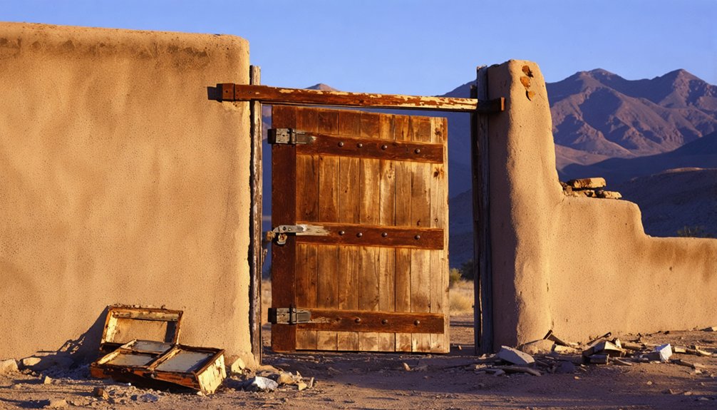
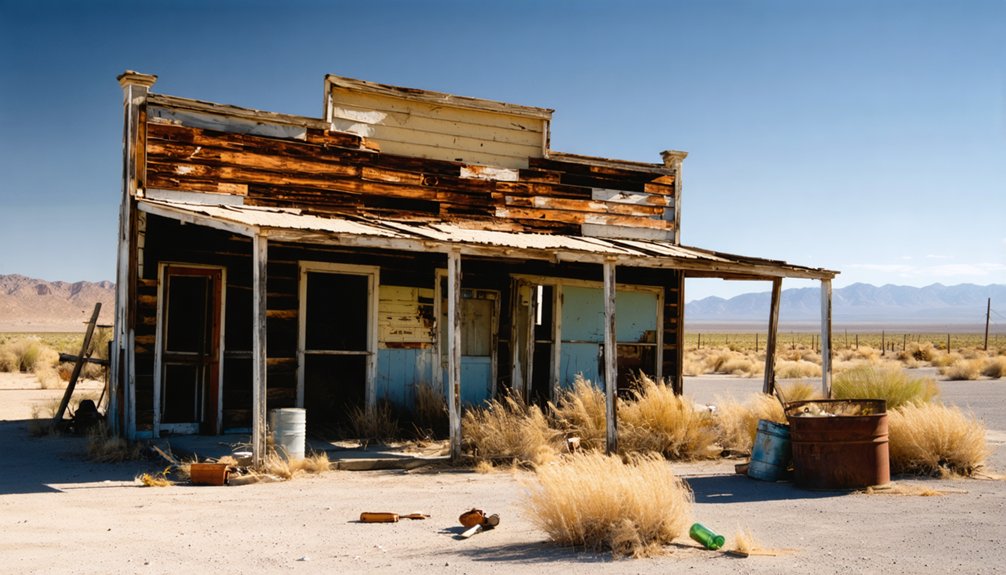
Three weathered buildings stand as silent sentinels along what was once a bustling border crossing in Lochiel, Arizona. The red one-room schoolhouse (circa 1882), the old customs house, and the church reflect the architectural decay that’s gradually claimed this frontier outpost.
You’ll notice locally sourced materials throughout these structures, now bearing the scars of desert winds and abandonment.
The border fence runs directly behind some buildings, a stark reminder of Lochiel’s cultural significance as a gateway between nations. Once home to 400 residents who faced Apache threats and Pancho Villa’s raids, these buildings tell stories of resilience.
While the schoolhouse remains locked but preserved, most structures sit on private land, their weathered foundations slowly returning to the earth—tangible connections to a frontier lifestyle that valued independence. The restored one-room schoolhouse stands as one of the few maintained structures, built around 1905 and serving as a historical marker of Lochiel’s past.
Mining-Era Structural Design
Towering brick stacks and weathered foundations of Lochiel’s twin smelters provide the most imposing architectural evidence of the town’s mining heyday.
These industrial architecture specimens, constructed in the late 1870s, once processed ore from the Patagonia Mountains while employing American settlers who flocked to this border outpost.
As you explore, you’ll notice frontier housing designed for practicality rather than comfort—buildings that once sheltered 400 residents during the 1880s boom.
Dr. Luttrell’s multi-purpose residence exemplifies the resourceful construction approaches, serving as both doctor’s office and boarding house for transient miners.
The town’s commercial heart featured five stores, three saloons, a brewery, and essential services like bakeries and butcher shops—all constructed to endure Arizona’s harsh climate while serving the needs of a rapidly growing mining community.
The Historic Schoolhouse and Cemetery: Windows to the Past
When you visit the red-brick schoolhouse built in 1882, you’ll witness a remarkably preserved piece of frontier education history that once served as both classroom and community gathering place.
The weathered tombstones in the nearby cemetery, located west of town, silently narrate the stories of ranchers, miners, and families who shaped Lochiel’s development through the late 19th and early 20th centuries.
These two sites, now maintained by the Patagonia Museum and local preservation groups, offer you tangible connections to the multicultural border life that once thrived in this now-quiet valley.
Frontier Education Preserved
Standing as a tribute to frontier perseverance, the Lochiel Schoolhouse represents the educational heart of this once-thriving border community. Built before 1905, this humble adobe structure served ranchers’ and miners’ children until its closure around 1983, embodying Arizona’s educational heritage through nearly a century of frontier learning.
You’ll appreciate how the schoolhouse and adjacent teacherage form one of the region’s few surviving rural school complexes. After years of neglect, the Patagonia Museum’s twelve-year restoration project, completed in 2022, saved this cultural landmark from ruin. Over 200 volunteers transformed the vandalized building into a preserved historic site.
The schoolhouse’s community significance extends beyond education—it was a social hub where generations gathered beneath the shade of a large cottonwood tree, connecting residents across the isolated San Rafael Valley.
Weathered Tombstones’ Stories
Weathered gravestones at Lochiel’s hillside cemetery tell silent stories of the mining era that once brought this border town to life.
Located west of the main intersection near the redbrick schoolhouse, these tombstones reveal the harsh realities faced by frontier residents from the late 19th to early 20th centuries.
The cemetery offers intimate glimpses into Lochiel’s past through:
- Tombstone inscriptions detailing miners, ranchers, and their families
- Epitaphs chronicling mining hazards and accidents that claimed many lives
- Varied headstone styles—from simple wooden markers to carved stones—reflecting socioeconomic differences
- Burial records documenting infectious diseases and demographic details of the diverse population
As you walk among these memorial stones, you’re witnessing the community’s final chapter—the shift from thriving settlement to ghost town mirrored in this weathered resting place.
Border Life Memorialized
Just beyond the hillside cemetery, the redbrick schoolhouse stands as perhaps Lochiel’s most evocative landmark, offering visitors a tangible connection to the town’s vibrant past. This one-room adobe structure, lovingly restored over twelve years by 200+ volunteers, served the community from 1882 until 1983, witnessing generations of border heritage and resilience.
You’ll find remarkable community resilience in every detail—from the adjacent teacherage to the weathered cemetery behind the chapel. Together, these sites memorialize a once-thriving customs station where 400 residents weathered Apache raids and Pancho Villa’s presence.
Though Lochiel dwindled to fewer than ten residents by the late 20th century, the Patagonia Museum’s preservation efforts guarantee this cultural crossroads isn’t forgotten. The schoolhouse and cemetery remain powerful symbols of cultural continuity in the Santa Cruz basin.
Visiting Lochiel Today: What Remains of the Ghost Town
What remains of Lochiel today offers visitors a tantalizing glimpse into Arizona’s frontier past, though much of the ghost town lies frustratingly out of reach.
The red schoolhouse, built circa 1882-1905, stands as the most accessible cultural heritage site, with its grounds open even as the building remains locked.
From public roads, you’ll discover:
- The historic customs house—silent witness to generations crossing the border
- Fray Marcos Monument honoring Arizona’s first European explorer
- The hilltop church visible through fencing near the international boundary
- Cemetery with weathered headstones telling tales that spark ghost stories
While Nature Conservancy‘s 20,000-acre purchase and private property restrictions limit exploration, driving the San Rafael Valley loop via Harshaw Road rewards the freedom-seeking traveler with distant views of scattered ruins.
Frequently Asked Questions
Are There Any Documented Paranormal Activities in Lochiel?
You’ll find no officially documented paranormal activity, though local legends whisper of ghost sightings near the schoolhouse and church. Border town histories often leave spectral tales untold by historians.
What Happened to the Original Residents After the Town Declined?
After Lochiel’s silver economy collapsed, you’d find the original residents scattered to neighboring mining towns. They’d sought new opportunities, with families relocating across Arizona’s borderlands, leaving behind only memories in the abandoned valley.
Is Camping Allowed Near the Ghost Town?
You can’t camp at Lochiel itself due to strict camping regulations protecting Nature Conservancy lands. Instead, enjoy dispersed camping on nearby national forest lands while exploring regional ghost town attractions.
How Did the Border Closing Affect Local Mexican Communities?
You’ll find the border impact severed economic lifelines, separated families, and restricted land access while challenging community resilience through lost trade routes, cultural exchanges, and traditional livelihoods Mexican settlers once depended on.
Are There Any Annual Events or Commemorations Held at Lochiel?
You won’t find annual celebrations at Lochiel today. Despite its rich history, the ghost town’s private ownership and conservation status prevent public commemorations. Only the schoolhouse remains accessible for quiet historical reflection.
References
- https://www.historynet.com/ghost-town-harshaw-lochiel-arizona/
- https://jauntingjen.com/2022/05/10/ghost-towns-on-the-arizona-border-lochiel/
- https://southernarizonaguide.com/fray-marcos-monument-in-lochiel-a-ghost-town/
- https://www.bigdogadventures.com/AnotherWayUp.htm
- https://kids.kiddle.co/Lochiel
- https://www.gvrhc.org/Library/GhostTowns.pdf
- https://www.arizonahighways.com/archive/issues/chapter/Doc.869.Chapter.4
- https://southernarizonaguide.com/lochiel-arizona-huh/
- https://landingaday.wordpress.com/2016/06/22/lochiel-arizona/
- https://en.wikipedia.org/wiki/Lochiel


