Louina, Alabama, also known as Ole Louina, is a ghost town located in Randolph County. Below is detailed information about the town:
County: Randolph County
Zip Code: Not available
Latitude / Longitude: 33°07′28″N, 85°33′08″W
Elevation: Approximately 682 feet (208 meters)
Time Zone: Central Time Zone (UTC-6; UTC-5 during Daylight Saving Time)
Established: 1834
Disestablished: Circa 1905
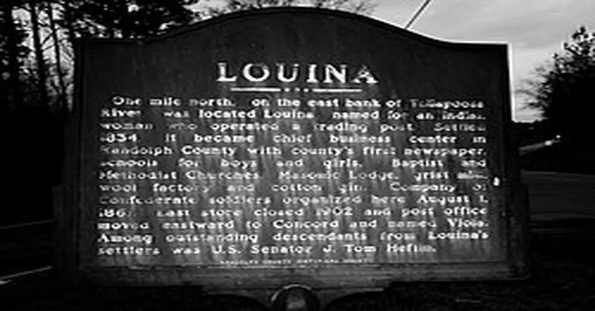
Comments: Louina, sometimes Ole Louina, is a ghost town located 14 miles west of Roanoke and about one mile east of Wadley in Randolph County, Alabama. Founded in 1834, Louina was once the largest town in Randolph County, featuring two churches, several stores, and a gristmill. The town was named after a wealthy Native American woman who operated a trading post in the area. During the Civil War, a company of Confederate soldiers organized there on August 1, 1861. The town began to decline after the war, with the last store closing in 1902. By 1905, Louina was largely abandoned.
Remains: Today, Louina is considered a ghost town, with few remnants of its past. The “Liberty West Baptist Cemetery” is one of the last remaining vestiges of Louina.
Current Status: Abandoned; classified as a ghost town
Remarks: Louina’s history is marked by its early prosperity and subsequent decline. The town’s legacy includes tales of buried treasures, adding an element of folklore to its story.


