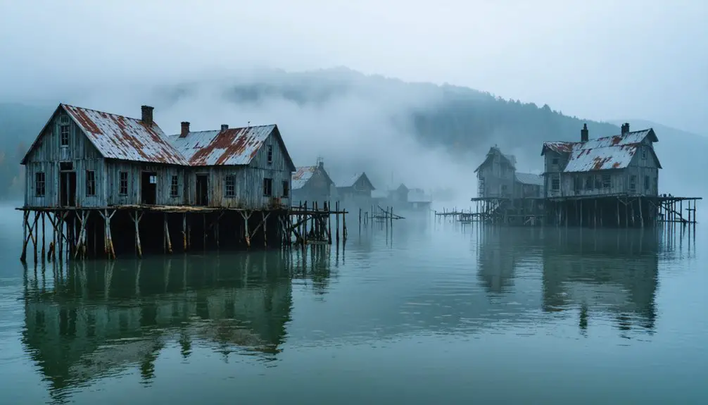
You’ll discover Loyston, Tennessee as a former valley town now submerged beneath Norris Lake since 1936. This once-thriving community of 70 residents, established in 1894 near Mill Creek and Clinch River, served as an essential trading hub along State Highway 61. The Tennessee Valley Authority’s Norris Dam project necessitated the displacement of nearly 1,000 families and the relocation of 5,000 graves. The underwater remnants hold fascinating historical secrets waiting to be uncovered.
Key Takeaways
- Loyston was a thriving Tennessee town with 70 residents that became submerged underwater due to TVA’s Norris Dam project in 1936.
- The town served as a trading hub with multiple businesses, including two general stores and a post office before its inundation.
- TVA’s Norris Dam project required the displacement of 2,841 families, including Loyston’s residents, to create Norris Lake.
- The original town site now lies beneath Norris Lake, making it one of Tennessee’s most notable underwater ghost towns.
- New Loyston was established on higher ground, preserving community connections after nearly 1,000 families were displaced from the original location.
The Birth of a Valley Town
As settlers ventured into Tennessee’s Big Valley in the early 19th century, they discovered an ideal location where Mill Creek met the Clinch River, establishing what would become Loyston.
The foundry significance began when John Loy established his industrial operation, giving the settlement its future name and economic foundation.
John Loy’s foundry establishment marked a pivotal moment, laying both the namesake and economic bedrock for the growing settlement.
You’ll find the valley geography played a vital role in the town’s development, as Loyston nestled perfectly between Lone Mountain to the south and Big Ridge to the east at river mile 98.
The Stookesbury Family joined the early pioneers before the town’s official 1894 naming. The area began as Loys Crossroads before evolving into Loystown and finally Loyston.
The strategic position where local roads intersected with State Highway 61 enhanced the settlement’s growth potential, transforming it from a simple foundry site into a thriving rural community that served as a trading center for farmers.
Trading Hub Along Highway 61
Along State Highway 61, you’ll find Loyston’s strategic location established it as a crucial trading center for Big Valley’s farming communities.
You’d see farmers and merchants converging at the town’s general stores to exchange agricultural produce and acquire essential supplies for rural life.
Your understanding of Loyston’s commercial significance grows when considering how Highway 61’s direct route to Knoxville, just 30 miles away, enabled broader market access and sustained the town’s economic vibrancy.
The thriving community of seventy local residents supported multiple businesses before the area was inundated by the Norris Dam project.
The town’s bustling post office and cafe served as key gathering spots for local residents conducting their daily business.
Highway Access Benefits
While Loyston’s eventual fate lay beneath Norris Lake’s waters, its strategic position along Highway 61 made it an essential trading hub in eastern Tennessee before its inundation.
You’ll find that this highway infrastructure provided a crucial 30-mile route connecting Loyston to Knoxville, enabling farmers and merchants to efficiently transport their goods to larger markets. The enhanced regional connectivity fostered economic growth, attracting businesses that supported trade and community needs.
Highway 61’s presence profoundly influenced Loyston’s development, leading to the establishment of a post office and various commercial enterprises. Big Ridge State Park sits alongside the modern Highway 61 route, offering a glimpse into the region’s natural beauty. The town’s Mill Creek Valley location created an ideal setting for agricultural trade in the area.
The road’s accessibility integrated the town into broader economic networks, facilitating the exchange of goods, services, and information across multiple counties.
Even after Loyston’s submersion, the highway continued serving New Loyston and supporting tourism around Norris Lake.
Local Market Activities
Before its submersion beneath Norris Lake, Loyston thrived as an essential trading hub where local farmers converged to exchange agricultural goods along Highway 61.
Market trends centered around agricultural commerce, with farmers from surrounding areas relying on Loyston’s strategic location approximately 30 miles from Knoxville. The town’s trading practices revolved around a well-established infrastructure that included a post office and several small businesses serving the farming community. Modern mapping systems now indicate its precise location using UTM coordinates 17S for historical reference.
You’ll find that Loyston’s position at the intersection of major transportation routes, including the junction of Mill Creek and Clinch River, made it a natural nexus for regional commerce.
The town’s roughly 70 residents benefited from this commercial activity, which fostered strong community bonds until TVA’s displacement efforts began in the early 1930s.
Farming Community Connection
From its early frontier roots near Sharp’s Station in the 1780s, Loyston evolved into an essential agricultural hub that connected farming families across East Tennessee through its strategic position on State Highway 61.
The town’s farming practices and agricultural heritage were deeply intertwined with its role as a trading center, where you’d find crucial community services supporting local farmers. The devastating TVA intervention permanently altered the region’s agricultural landscape.
- Two general stores supplied essential farming equipment and daily necessities
- A grain mill facilitated crop processing for regional agricultural production
- The post office connected farmers to broader markets and government services
- A filling station and café served as gathering spots for trading activities
- Multiple churches, including Sharps Chapel Methodist Episcopal, strengthened farming community bonds
The town’s infrastructure reflected a self-sufficient rural economy that flourished until Norris Lake’s creation in the 1930s. The Tennessee Valley Authority’s Norris Dam project ultimately forced the relocation of Loyston’s 70 residents.
The TVA’s Norris Dam Project
As the first major undertaking of the Tennessee Valley Authority, the Norris Dam Project launched on October 1, 1933, marking a pivotal moment in Depression-era infrastructure development.
You’ll find that TVA’s impact extended far beyond the dam’s impressive specifications of 265 feet in height and 1,860 feet in length. The $36 million project created Norris Lake, spanning five counties with 809 miles of shoreline and 33,840 acres of water surface. The construction required the displacement of 2,841 families from their homes and land.
Hungarian-American architect Roland Wank revolutionized the dam’s design with his modernist vision, incorporating Streamline Moderne style and repositioning the spillway to the center.
The project delivered on multiple fronts: providing affordable electricity, controlling floods, and creating jobs during the Great Depression. Norris Dam became a symbol of progress, complete with a planned workers’ town and the essential Norris Freeway connecting to Knoxville.
Life Before the Waters Rose
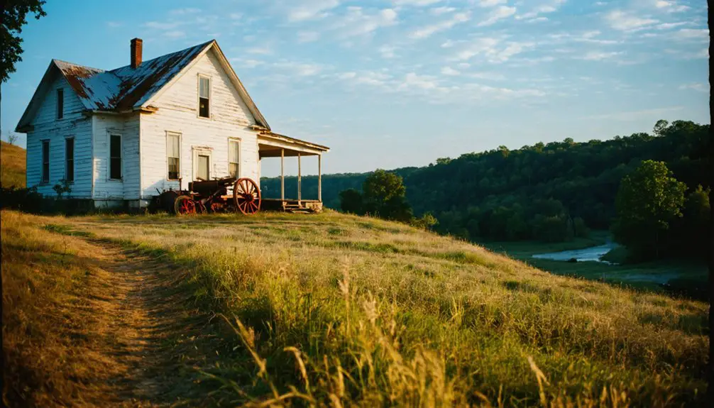
Walking through Loyston in the 1930s, you’d find a tight-knit community centered around two general stores, a cafe, and other essential businesses along State Highway 61 that served local farmers and residents.
You’d witness daily routines shaped by multi-generational family bonds and time-honored traditions passed down through oral histories.
The community’s strong social fabric was evident in its churches, schools, and local gathering spots where families like the Sharps and Stooksburys maintained connections dating back to the town’s founding in the early 1800s.
Daily Commerce and Trade
Prior to its inundation by the TVA’s Norris Dam project, Loyston thrived as a bustling commercial hub centered along State Highway 61, where local merchants and farmers conducted daily trade.
The town’s economic resilience stemmed from its strategic location and diverse commercial activities, anchored by the renowned May Spring Farm and Mill that produced East Tennessee’s finest flour.
Key aspects of Loyston’s local trade included:
- Two general stores serving as primary supply centers for residents
- A post office facilitating essential business communications
- The historic foundry established by John Loy
- Premium flour production at the local mill
- Small-scale farming operations supporting regional commerce
You’d find a self-sufficient community where merchants, millers, and farmers worked together, connected by the 30-mile route to Knoxville’s broader markets through State Highway 61.
Community Traditions and Values
Before the waters of Norris Lake submerged Loyston, the town’s 70 residents maintained a close-knit community anchored by Protestant Christian values and strong family ties.
Religious faith shaped daily life through the Sharps Station Methodist Episcopal Church, where community gatherings fostered social bonds and moral guidance.
You’d find extended families working together on farms, sharing traditional tools like bull-tongued plows passed down through generations.
The town’s social fabric was woven through seasonal celebrations, picnics on family homesteads, and regular visits between neighbors.
Children learned both academic basics at the local school and practical skills through family apprenticeships.
As displacement loomed, spiritual resilience helped residents cope, while storytelling and oral histories preserved their heritage.
These traditions continued even as families relocated to nearby areas, including New Loyston.
Underwater Legacy and Preservation
During the planned inundation of Loyston in 1936, the Tennessee Valley Authority undertook extensive documentation efforts to preserve the town’s cultural heritage before its submersion beneath Norris Lake.
While underwater archaeology remains challenging due to erosion and sediment coverage, you’ll find the town’s legacy preserved through photographs, sociological surveys, and oral histories.
- Lewis Hine’s 1933 photographic documentation captured daily life and architecture
- TVA’s systematic cataloging of displaced communities set preservation standards
- The “Loyston Sea” marks the mile-wide underwater location near Big Ridge State Park
- Physical structures deteriorated due to water exposure and time
- Cultural preservation continues through archived materials and community memory
The submerged town exemplifies the delicate balance between progress and heritage preservation, with its story maintained through careful documentation rather than tangible remains.
Exploring the Hidden Remnants

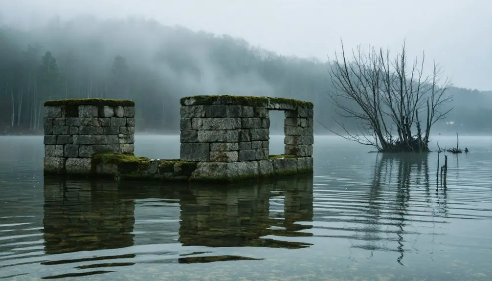
When Norris Lake’s water levels recede, visitors can explore the haunting physical remnants of Loyston’s past, including building foundations, abandoned infrastructure, and scattered artifacts that offer glimpses into the town’s abrupt end.
Low waters reveal Loyston’s ghostly remains – foundations and artifacts speaking of a drowned town’s final days.
You’ll discover hidden artifacts of significant historical significance as you walk along the original highway routes, where Tennessee state road signs still stand as silent sentinels.
The exposed lakebed reveals clean-swept foundations of the school, post office, and residential homes. You can trace the steps of former residents by examining abandoned vehicles, farming equipment, and the iconic bull-tongued plow that hung untouched for decades.
Near Big Ridge State Park, you’ll find bridges that lead nowhere and stairs ascending to vanished destinations – stark reminders of the community’s forced relocation in the 1930s.
Photography and Historical Records
The rich photographic legacy of Loyston stems from Lewis Hine’s extensive documentation of the town before its inundation in the 1930s.
Through visual storytelling and cultural documentation, the Tennessee Valley Authority captured the socio-economic fabric of this community before its submersion beneath Norris Lake.
Today, you’ll find these historical records preserved across various platforms:
- Detailed TVA sociological surveys paired with Hine’s photographs
- Images of local businesses, including the Sharps Station Methodist Episcopal Church
- Foundation remnants visible during low water periods
- Artifacts discovered by visitors, such as farming tools and vehicle remains
- Online archives through the Loy History Website and historical databases
These photographic records continue to tell Loyston’s story, preserving the memory of a community that sacrificed its physical presence for regional progress.
The Creation of New Loyston
As construction of the Norris Dam project began in the 1930s, Tennessee Valley Authority officials mobilized an unprecedented relocation effort that would displace nearly 1,000 families from Union County’s Loyston community.
You’ll find that TVA’s thorough planning included detailed surveys of affected properties and coordination with federal agencies to help families overcome relocation challenges.
Despite the upheaval, community resilience shone through as New Loyston emerged on higher ground, maintaining essential connections to the past.
Through adversity and displacement, New Loyston rose resilient, preserving community bonds while building life anew on higher terrain.
The TVA established memorial cemeteries, reinterring over 5,000 graves, and helped reconstruct crucial infrastructure.
While many residents struggled to reestablish their farms and businesses, the new settlement preserved the Loy family heritage through transplanted churches and social institutions, becoming a symbol of cultural continuity amid profound change.
A Community’s Enduring Spirit
Despite being submerged beneath Norris Lake’s waters, Loyston’s spirit endures through tangible remnants and cultural memory that connect past to present. The community’s resilience manifests in the preservation of cultural heritage, as descendants regularly return to the site when water levels recede, maintaining their connection to their ancestral home.
- Foundation ruins emerge as silent witnesses when lake levels drop
- Local folklore and ghost stories keep the town’s memory alive
- Descendants gather for heritage events on the exposed lakebed
- Lewis Hine’s photographs document pre-flood life
- Physical artifacts like tools and equipment remain as evidence of daily life
You’ll find this evidence of community resilience in the surrounding landmarks, oral histories, and commemorative events that continue to honor Loyston’s legacy, demonstrating how a displaced community can maintain its identity despite physical displacement.
Frequently Asked Questions
What Was the Average Property Value in Loyston Before the Flooding?
Like checking your Instagram stats, you can’t find precise historical values. The property market data doesn’t exist in records, though Loyston’s better farmland suggests higher-than-average worth.
How Many Graves Were Relocated During the Town’s Evacuation?
You won’t find exact numbers for grave relocations during the town’s evacuation, as historical records don’t specify the count. While evidence confirms graves were moved, detailed documentation of these transfers remains remarkably absent.
Did Any Residents Refuse to Leave Their Homes Before Flooding?
Like a river flowing with time, you won’t find evidence of resident resistance despite emotional ties. Historical records and TVA documentation show systematic evacuation without any documented cases of refusal.
What Indigenous Artifacts Were Discovered During the Dam Construction?
You’ll find evidence of indigenous culture through lithic tools, chert artifacts, and a significant temple structure with inscribed walls. Trade materials like steatite and Dover chert reveal extensive networks spanning the Great Lakes region.
How Deep Is the Water Covering the Original Town Site?
You’ll find this submerged history resting beneath approximately 90 feet of water depth, where time stands frozen in the mile-wide section locals poetically call the “Loyston Sea.”
References
- https://loyhistory.com/a-revisit-to-old-loyston/
- https://en.wikipedia.org/wiki/Loyston
- https://www.thewanderingappalachian.com/post/the-underwater-towns-of-appalachia
- https://7feetnorth.com/2018/04/16/the-underwater-ghost-town/
- https://www.luc.edu/eminent-domain/siteessays/norristn/losttownloyston/
- https://walkerhomeschoolblog.wordpress.com/2018/05/21/oakdale-school-loyston-tn/
- https://www.youtube.com/watch?v=wM7jS4r4SDE
- https://en.wikipedia.org/wiki/Tennessee_State_Route_61
- https://www.routeyou.com/en-us/location/view/51442971
- https://www.tripadvisor.com/Hotel_Review-g30124-d8795687-Reviews-Loyston_Point_Campground-Andersonville_Tennessee.html
