Massachusetts, the second of the thirteen colonies, became the sixth state on February 6, 1788.
There are 11 ghost towns in Massachusetts. Massachusetts covers 10,565 square miles: 7,840 square miles of land and 2,715 square miles of water. With a population of over seven million in an already smaller state, it might be surprising to discover more than a handful of ghost towns.
The first non-native people to settle in Massachusetts were the Pilgrims in 1620 when they established Plymouth Colony. Following Jamestown Colony, Plymouth was the second of the original thirteen colonies.
In 1630, around 1,000 Puritan refugees from England settled in the Massachusetts Bay area, which was first named Tremontaine to reflect the three visible hills before being renamed to Boston after the town in Lincolnshire, England, where the Puritans were from. Eventually, going through a third name change, Massachusetts was chosen to honor the Massachusetts Indians and translate to “large hill place.”
Catamount, Massachusetts
Catamount was first settled sometime between the mid to late 1700s. The former village was most known as a farming community. In 1812, the Catamount schoolhouse was the first to fly the United States flag over an educational facility.
By the early 1900s, Catamount had been abandoned due to its remote and mountainous location. In 1967, the Commonwealth of Massachusetts purchased the land the townsite was developed on and incorporated a large portion of the ghost town into the Catamount State Forest. Most of the buildings are gone, and the roads have been destroyed.
A stone monument has been placed as a memorial for the town and school. Vehicles are not permitted on the deteriorating roadways, but the area is explorable by foot for those wanting to visit the former town. McLeod Pond is popular for fishing and canoeing.
Dana, Massachusetts
Dana is one of four towns that was submerged in the Quabbin Reservoir Project in the 1930s. First settled in 1676, the former town of Dana was not incorporated until February 18, 1801. The townsite for Dana was formed from parts of the surrounding cities Petersham, Hardwick, and Greenwich. The town’s name came from Francis Dana, a Massachusetts statesman who signed the Articles of Confederation.
The former city was disincorporated on April 28, 1938, to make way for a new reservoir. Most of the houses and other structures were moved to nearby locations. While part of the town was flooded and submerged, the majority of the land is still above water due to the higher elevation where the city was built. The road that led to the town has been closed to cars for years, but the townsite is still accessible on foot.
The Massachusetts Department of Conservation and Recreation still maintains the town center, where a stone marker has been installed to remember the ghost town. Cellar holes, foundations, and an empty field of the former cemetery remain.
Dogtown, Massachusetts
First settled in 1693, Dogtown was an inland village on Cape Ann. At its peak, the settlement had nearly 100 families, focused on farming for sustainability, grew to be 5 square miles, and offered protection from pirates and natives that frequented the coastline and harbors.
Originally named “The Commons,” the former town was renamed Dogtown due to the large number of dogs kept in the village as husbands and sons fought in the American Revolution, leaving their wives and daughters to maintain households.
After the American Revolution ended, Dogtown started to see a decline in population as the coastline and harbors were a safe place once again. Farming transitioned into fishing for many. Cargo could be transported in and out of ports for selling and purchasing through international methods.
New coastal roads were developed that bypassed Dogtown. As the War of 1812 ended, the town’s population became even less. Rumors of remaining residents turning to witchcraft started to spread throughout nearby towns.
By 1828, what was left of the village had been abandoned. As the area sat empty, drifters, outcasts, and pirates moved in. In 1839, any person still living in the town was removed. By 1845, all the homes and buildings had been demolished. The land was opened for animal grazing. Farm animals were kept in private lots that allowed grazing until the 1920s when the area was abandoned for a second time.
In 1927, a local entrepreneur named Roger Babson purchased 1,250 acres of Dogtown land and documented the historical site with numbered boulders at homesites and inspiring messages on other boulders. Roger Babson donated Dogtown to the neighboring city of Gloucester in 1935. The ghost town was later turned into a public park.
Enfield, Massachusetts
Enfield, named after Robert Field, was incorporated in 1816. Developed from portions of Greenwich and Belchertown, the former town was one of four that felt the effects of the Quabbin Reservoir Project planned for the Swift River Valley in the 1930s. By 1850, Enfield was one of the largest towns submerged in the Quabbin Reservoir. The farming and textile community had a population of nearly 1,100 residents.
On April 28, 1938, the former town was incorporated, with the portions of land not planned to be underwater being annexed to Belchertown, New Salem, Ware, and Pelham. The headquarters used for the Quabbin Reservoir Project was located in Enfield’s former town hall and was also the last building to be demolished before filling the reservoir on August 14, 1939.
The Quabbin Observatory, Quabbin Hill, and Enfield Lookout are all located within the town’s former boundary lines. Visitors can find the entrance to Quabbin State Park within the limits of the former Enfield.
Greenwich, Massachusetts
In 1737, descendants of veterans who fought in King Phillip’s War were granted land in an area known as Quabbin. In 1754, Quabbin Parish was incorporated and changed its name to Greenwich after the Duke of Greenwich, John Campbell.
Having been established between the east and middle branches of the Swift River, the town was profitable from farming, textile mills, and numerous factories that benefited from the proximity to water. Aside from the waterways, Greenwich was also located along Route 21 and housed a train station for the Athol Branch of the Boston and Albany Railroad.
In the early 1930s, a plan was implemented to construct a reservoir to supply Boston with more water. Throughout the mid-1930s, the Quabbin Reservoir Project moved from paper to reality as thousands of residents were forced to relocate, move their homes, and leave their past lives submerged underwater. Three other towns were sacrificed to create the reservoir to help Boston’s water needs: Dana, Enfield, and Prescott.
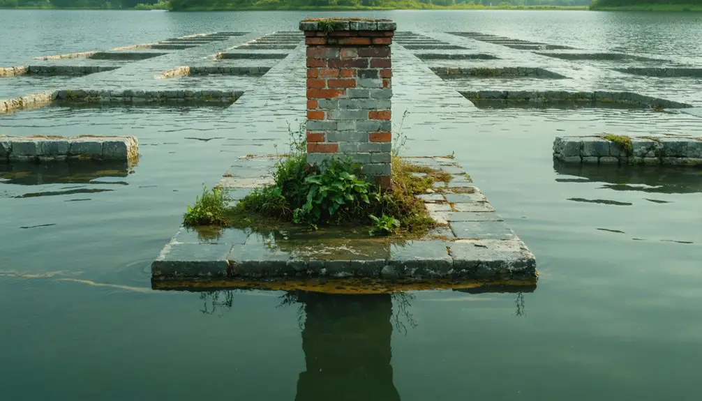
April 28, 1938, was the last day Greenwich served as a town before being disincorporated and flooded the following year. Due to the town’s low elevation, the townsite was quickly submerged under reservoir water. When visiting the former village site, three islands can be seen in the water, but the islands are the hilltops of Mount Pomeroy, Curtis Hill, and Mount Lizzie.
Prescott, Massachusetts
Of the four towns submerged for the Quabbin Reservoir Project, Prescott was the smallest and has the most land still above water. Incorporated in 1822 and named after Colonel William Prescott, known for commanding American forces at the Battle of Bunker Hill in 1775, the town had 300 residents at its peak in 1900.
When the Quabbin Reservoir Project was started, any land that remained above water would be annexed to the nearby cities of New Salem and Petersham. The large portion of land that remains above water has come to be known as the Prescott Peninsula and a wildlife sanctuary. The Swift River Valley Historical Society offers annual tours and guided hikes for anyone who wants to visit the area. All other public access is not allowed.
Before being submerged in 1939, houses and other structures were moved from the townsite. Churches were important to the community and were some of the first buildings to be moved alongside houses. Cellar holes from previous residences remain across the peninsula.
Questing, Massachusetts
Questing, while not its original name, is a historic site found in New Marlborough within The Berkshires part of the Green Mountains that extend into western Massachusetts. Questing was established on a hill in the New Marlborough settlement during the mid-1700s. The first non-Native American children were born in Questing, the Brookins twins.
The first military fort was developed on the same hill as Questing. The hill was later known as Leffington Hill after two brothers settled the area in 1800. The Leffingwell brothers established a farm on the hill before dying in farming accidents years later.
The Leffingwell farmstead changed owners many times before ultimately being abandoned in the 1900s during the Great Depression. Cellar holes, stone walls, and foundations are all that remain of the farmstead.
It was not until 1970 that Questing was known by its current name. After Dr. Robert Leham purchased the Leffingwell farmstead, he chose the name Questing after the mythical Questing Beast noted from Arthurian Mythology and the legend of King Arthur.
In 1996, Dr. Leham donated the farmstead to the Trustees of Reservations. The Trustees turned the farmstead into a 438-acre nature reserve known as Questing Reservation. The reservation is open to the public and offers walking trails, hiking, open meadows, streams, cross-country skiing, wetlands, and forested scenery.


