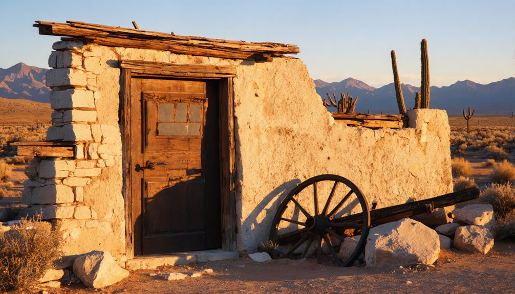
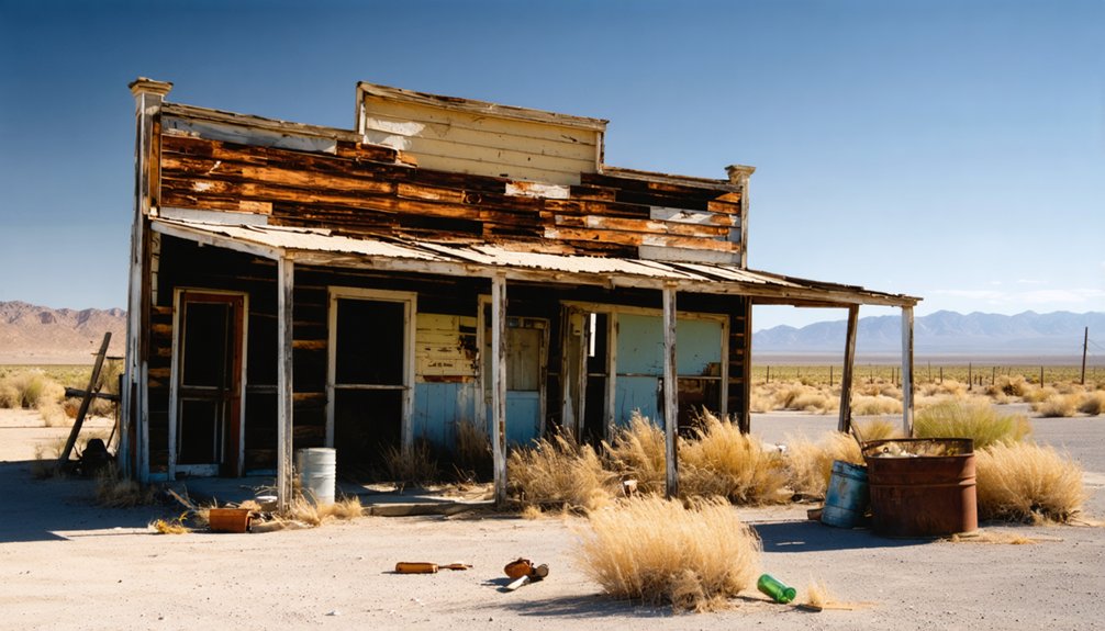
Mt. Trumbull, Arizona was established by Mormon pioneers in the late 1870s near the Arizona Strip. You’ll discover a ghost town once known as “Bundyville” after Abraham Bundy’s family, who settled there in 1916. The community thrived around lumber production, mining, and ranching despite harsh desert conditions. The restored schoolhouse, which served as the community’s hub until 1966, now stands as a symbol of the settlers’ resilience. The scattered ruins tell a deeper story.
Key Takeaways
- Mt. Trumbull began as a Mormon pioneer settlement in the 1870s, later known as Bundyville after Abraham Bundy’s 1916 homestead claim.
- The community featured a schoolhouse built in 1922 that served as the social hub until its closure in 1966.
- Economic activities centered around lumber production from a sawmill and copper mining at the nearby Grand Gulch Mine.
- The isolated frontier community developed self-sufficient infrastructure including mills and dairies operating under LDS consecration principles.
- The ghost town is accessible via Road #5, approximately 34 miles southeast of Wolf Hole Lake in remote Arizona desert terrain.
The Mormon Pioneer Settlement of Bundyville
In the late 1870s, Mormon pioneers established the settlement of Bundyville near Mt. Trumbull in Arizona’s Upper Hurricane Valley. This community represented a strategic extension of the Mormon migration that began in Salt Lake City in 1847, directed by church leaders like Brigham Young.
You’ll find Bundyville was part of a broader network of settlements including Brigham City and Joseph City along the Little Colorado River. Settlers faced significant frontier challenges in this isolated region, including rugged terrain, arid conditions, and limited water sources.
They developed essential infrastructure—gristmills, sawmills, and dairies—to create a self-supporting community. Similar to Joseph City, settlers maintained detailed diaries documenting their hardships and community building efforts.
The settlement operated under a consecration system reflecting LDS doctrine, with community members working collectively while maintaining stewardship over resources. This remote outpost embodied both the physical and spiritual dimensions of the Mormon vision of Zion. The concept of beneficial use guided how residents established rights to the limited natural resources available in this harsh landscape.
Founding Families and Their Legacy
When you explore Mount Trumbull’s founding lineages, the Bundy family’s influence extends far beyond their numerical prominence, creating a settlement that informally bore their name as “Bundyville.”
Abraham Bundy’s original homestead claim in 1916 established not only his immediate family’s future but launched a community that would expand to include allied families like the Iversons, Van Leuvens, and Alldredges.
The Iverson family lived in a simple homestead consisting of just two small rooms built from old wood with no insulation or modern amenities.
The Bundy legacy persists through their descendants’ continued connection to the land and participation in preservation efforts, including the schoolhouse restoration completed in 2001.
Iven Leroy Bundy, born in Mormon Colony of Sonora, Mexico in 1908, was among the original settlers who shaped Bundyville’s early development.
Pioneer Family Networks
Pioneer family networks of Mt. Trumbull formed an intricate web of relationships that shaped the settlement’s social fabric. At its core, Abraham Bundy’s immediate family of 29 members established the foundation for extensive family ties throughout the region.
By the 1970s, Bundy descendants numbered between 600-800 individuals, demonstrating remarkable genealogical growth from just one pioneering lineage.
The Bundys, Iversons, Van Leuvens, and Alldredges became interconnected through marriage and kinship, creating a resilient community structure that supported their survival in harsh frontier conditions. Similar to Charles Trumbull Hayden’s impact on Tempe, these families established critical community infrastructure that enabled settlement growth.
These families moved fluidly within the region, maintaining their connections despite geographical shifts. Their intergenerational participation in communal institutions reinforced social bonds, with the schoolhouse serving as the nexus of these relationships, facilitating education, worship, and communal gatherings. The isolated nature of Bundyville, with the nearest town 60 miles away, strengthened family bonds as residents relied heavily on each other for support and community.
Bundy’s Lasting Influence
The legacy of Abraham Bundy extends far beyond mere genealogical expansion, fundamentally shaping the identity and character of what became known colloquially as “Bundyville.”
While officially designated Mt. Trumbull by postal authorities, locals embraced the family-centric nickname that reflected the Bundys’ foundational influence.
From Abraham and Ella’s original 640-acre purchase in 1916, the Bundy legacy grew exponentially.
Their family’s remarkable expansion from twenty-nine members to nearly eight hundred descendants by 1973 demonstrates their enduring presence.
The Bundys’ shift from farmers to cattle ranchers following the 1934 Taylor Grazing Act established economic patterns that defined the community for generations.
You’ll find their impact embodied in the community infrastructure they helped establish, particularly the 1918 schoolhouse that served as the settlement’s social and educational center until its destruction in 2000.
The schoolhouse’s restoration after being destroyed by fire represents the resilient spirit that characterized the Bundy family and other settlers in this challenging frontier environment.
Like many Arizona pioneers such as Peter Rainsford Brady, the Bundys demonstrated remarkable adaptability to hardship while establishing crucial community foundations in remote territories.
Lumber Industry and the St. George Temple Connection
Nestled in the rugged terrain of northern Arizona, Mt. Trumbull‘s most significant industrial endeavor was its pioneering sawmill, established in the late 1870s by Mormon settlers. This operation became the lifeblood of the community, producing approximately one million board feet of lumber for the St. George Temple’s construction—a monumental religious undertaking.
The sawmill’s innovative infrastructure included steam power technology and a quarter-mile flume supported by rock cairns, many of which remain visible today. This lumber production facility represented cutting-edge industrial development for the remote Arizona Strip. Similar to the all-electric plant that Cady Lumber would later build in McNary, Arizona, Mt. Trumbull’s mill showcased technological advancement in an isolated frontier setting. The region would later attract skilled timber workers from the South seeking better wages and opportunities away from racial violence.
When you explore the area now, you’ll find remnants of the operation that once fueled regional economic growth and enabled the completion of a sacred Mormon edifice. The mill’s legacy endures as a reflection of the settlers’ ingenuity and determination in this harsh but beautiful landscape.
Mining Activities and Economic Endeavors
Copper deposits first attracted miners to Mt. Trumbull‘s vicinity in 1871, when Southern Paiute Indians revealed the location to Samuel Adams and his party. The Grand Gulch Mine, established shortly afterward, yielded remarkably rich ore—sometimes exceeding 75% copper content with silver deposits as well.
Despite this mineral wealth, the region’s mining history reflects persistent economic challenges. The nearest railroad lay 180 miles away, making transportation prohibitively expensive for both equipment and ore shipment. Proposed railroad spurs never materialized due to cost constraints.
Mining operations continued intermittently until 1919 when high-grade ore deposits became depleted. Later innovations in the 1950s introduced chemical processing methods that extracted additional value from remaining low-grade tailings.
The abandoned site, with its preserved structures, stands as a monument to the boom-and-bust cycle that defined Arizona’s frontier resource economy.
Life in an Isolated Frontier Community
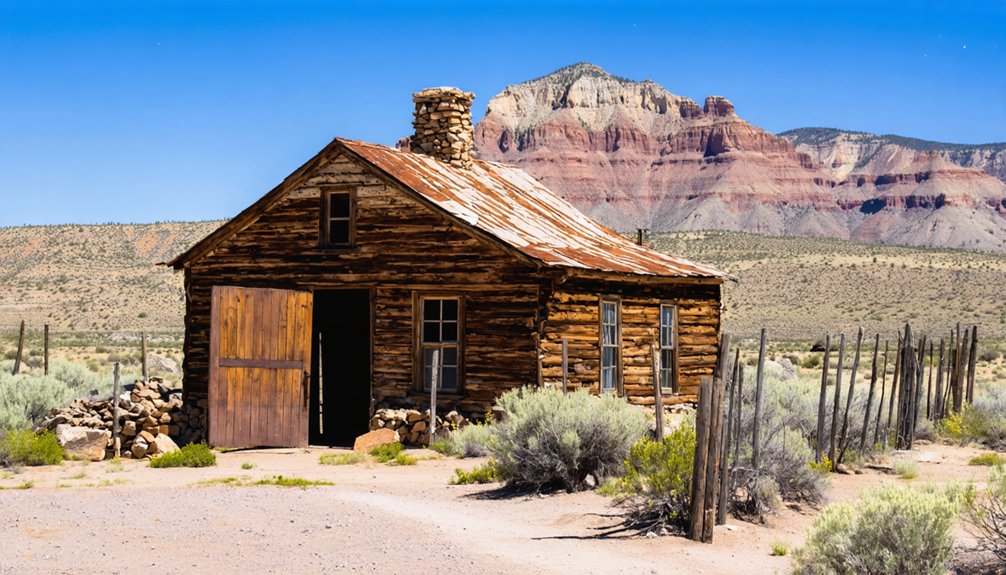
While geographic isolation shaped every aspect of existence at Mt. Trumbull, residents developed resilient systems of communal living to overcome frontier challenges.
You’d find families relying on mutual aid networks, sharing resources and labor during difficult seasons when the harsh desert climate threatened crops and cattle.
Religious gatherings at the multi-purpose schoolhouse served as both spiritual sustenance and social connection, forming the backbone of community cohesion in a place where St. George lay 60 miles away across rugged terrain.
- Wagon journeys requiring days of travel for basic supplies
- Water collection systems carefully maintained by collective effort
- Evening socials where news from distant settlements spread through storytelling
- Informal justice systems resolving disputes without outside authorities
This self-sufficient community exemplified the freedom of frontier life—simultaneously brutal and deeply interconnected.
The Schoolhouse: Heart of Mt. Trumbull
When you walk into Mt. Trumbull’s schoolhouse today, you’re experiencing the heart of what once united this isolated frontier community for forty-four years.
Despite arsonists destroying the original 1922 structure in 2000, determined descendants and government partners meticulously rebuilt it to original specifications and rededicated the schoolhouse just fifteen months later.
This restored building stands as a powerful symbol of pioneer resilience, preserving the memory of a place that simultaneously served as classroom, church, town hall, and social center for generations of Mt. Trumbull residents.
Community Gathering Place
The Mt. Trumbull schoolhouse served as more than just an educational facility; it became the central gathering place for this isolated Arizona Strip community.
When you explore this historic building, you’re witnessing the nucleus of resident interactions that sustained Mt. Trumbull through its peak years.
The multipurpose nature of the schoolhouse allowed it to function as:
- A town hall for governance and civic decision-making
- A church where families gathered for religious services
- A dance hall hosting celebrations, weddings, and social events
- An informal news exchange where isolated residents maintained connections
For the approximately 250 residents during the 1930s, this single building embodied community resilience.
Geographic isolation fostered interdependence, with the schoolhouse facilitating nearly all community events until population decline ultimately led to its closure in 1966.
Rebuilt After Arson
Tragedy struck the heart of Mt. Trumbull when arsonists reduced the historic schoolhouse to ashes on July 31, 2000. This devastating act destroyed a landmark that had stood since the 1920s, even surviving decades of abandonment after its 1966 closure.
The community’s resilience emerged immediately through a dedicated restoration committee. Despite the arson investigation yielding few answers, locals focused their energy on rebuilding rather than retribution.
By 2001, an exact replica stood on the original foundation, complete with wooden floors, blackboards, and the iconic bell tower.
Today, you’ll find this meticulous reconstruction serving as both memorial and museum. The rebuilding effort transcended mere construction—it represented the preservation of cultural heritage and pioneer spirit that defines Mt. Trumbull’s legacy, ensuring future generations can connect with this remote community’s rich history.
Symbol Of Pioneer Spirit
Standing proudly against the harsh Arizona Strip landscape, Mt. Trumbull’s schoolhouse embodied the pioneer resilience that defined this remote settlement. Built in 1922 as the community’s second schoolhouse, this structure served as the beating heart of a town situated 60 miles from civilization.
You’ll find this one-room building represented more than education—it was the foundation of community identity for nearly 250 residents who called this isolated frontier home.
The schoolhouse functioned as:
- Church and town hall where vital decisions shaped community survival
- Social venue hosting dances that lightened the burden of isolation
- Educational center serving generations of primarily Bundy family children
- Physical manifestation of collective determination against unforgiving conditions
The schoolhouse remained operational until 1966, standing as proof of the cooperative spirit necessary for frontier survival.
Destruction and Rebirth: The Schoolhouse Restoration
On July 31, 2000, a suspected arson attack devastated the historic Mt. Trumbull Schoolhouse, erasing a communal landmark that had stood since 1922.
This act of destruction galvanized remarkable community resilience as locals formed a steering committee to rebuild what they’d lost.
You’ll find evidence of their dedication in the meticulous reconstruction completed just one year later.
The Bureau of Land Management acquired the site from private owner Les Bundy, while volunteers contributed materials, labor, and funds to resurrect an exact replica—down to the bell atop the roof.
Historical preservation efforts included installing authentic wooden floors, vintage desks, period schoolbooks, and photographs.
Today, this phoenix-like restoration stands as a symbol of frontier determination, offering you year-round access to exhibits documenting the isolated yet vibrant history of Arizona Strip pioneers.
Native American Heritage of the Arizona Strip
Long before the arrival of European settlers and the establishment of frontier outposts like Mt. Trumbull, the Southern Paiute people made the Arizona Strip their ancestral home.
The Kaibab and Uinkaret bands maintained sustainable relationships with this harsh yet bountiful landscape for centuries, demonstrating remarkable cultural resilience despite later disruptions from Mormon settlement and American expansion.
You’ll find their heritage evident throughout this region:
- Seasonal migration patterns that efficiently utilized desert resources
- Traditional shelters (kahn) built to accommodate their nomadic lifestyle
- Ancestral connections to both the Grand Canyon and surrounding plateaus
- Complex intertribal relations with neighboring Navajo and Hopi peoples
The establishment of the Kaibab Paiute Reservation in 1906 helped guarantee Southern Paiute Heritage would persist, though within boundaries far more confined than their traditional territories.
Exploring Mt. Trumbull Today: What Remains
Visitors to the remote Arizona wilderness may encounter the haunting remains of Mt. Trumbull, a tribute to frontier resilience. The centerpiece of your ghost town exploration awaits at the white one-room schoolhouse built in 1922—the area’s most significant historical landmark.
This meticulously restored structure, which operated until the 1960s, stands as the definitive architectural feature of the abandoned settlement.
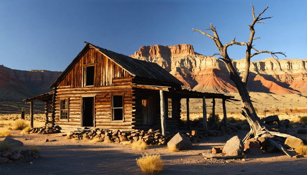
You’ll find scattered ruins throughout the ghost town, also known as “Bundyville” after its founding family. Foundation remnants and weathered cabins dot the landscape alongside a few modern homes.
Access requires traversing BLM Road 1069 and County Road #5, roughly 34 miles southeast of Wolf Hole Lake. Bring extra water and fuel—this freedom to explore comes with the responsibility of self-reliance in this beautiful but unforgiving desert terrain.
Frequently Asked Questions
What Wildlife Can Visitors Expect to Encounter in Mt. Trumbull?
You’ll encounter mule deer, Kaibab squirrels, coyotes, and common ravens. Wildlife sightings might include porcupines and various lizards, while animal tracks from mountain lions or pronghorn deer indicate their elusive presence.
How Did Residents Access Medical Care in This Remote Location?
Necessity is the mother of invention. You’d rely on home remedies, community health networks, and infrequent medical transportation to St. George, Utah—traveling by wagon or horseback over rugged terrain when illness demanded professional care.
What Happened to the Original Homesteading Families After Mt. Trumbull Declined?
You’ll find most families migrated to larger towns or cities, dispersing their family legacies across the region. Some maintained property connections, while a few adapted to modern conditions nearby, reflecting broader rural-urban migration trends.
Were There Any Famous Outlaws or Notable Incidents in Mt. Trumbull?
Yes, Bill Garrett’s presence marks the area’s outlaw history. You’ll find notorious outlaws used Mt. Trumbull’s rugged terrain to evade law enforcement, with historical incidents of cattle rustling and rumored shootouts.
What Seasonal Events or Festivals Were Celebrated by Mt. Trumbull Residents?
Like clockwork of community spirit, you’d have joined seasonal harvest festivals after fall gathering, winter celebrations in the schoolhouse, religious gatherings, and cattle roundups marking the rhythms of Mt. Trumbull life.
References
- https://435locals.com/ghost-town-near-zion-mt-trumbull/
- https://kids.kiddle.co/List_of_ghost_towns_in_Arizona
- https://lrwaite.net/places/arizona-strip-1916.htm
- https://azoffroad.net/mt-trumbull-schoolhouse
- https://www.arizonahighways.com/article/parashant-its-easier-said-done
- https://www.ghosttowns.com/states/az/mounttrumbull.html
- https://hwstock.org/tl/
- https://therevelator.org/cliven-bundy-trial/
- https://archiveswest.orbiscascade.org/ark:80444/xv44747
- https://en.wikipedia.org/wiki/Bundy_standoff
