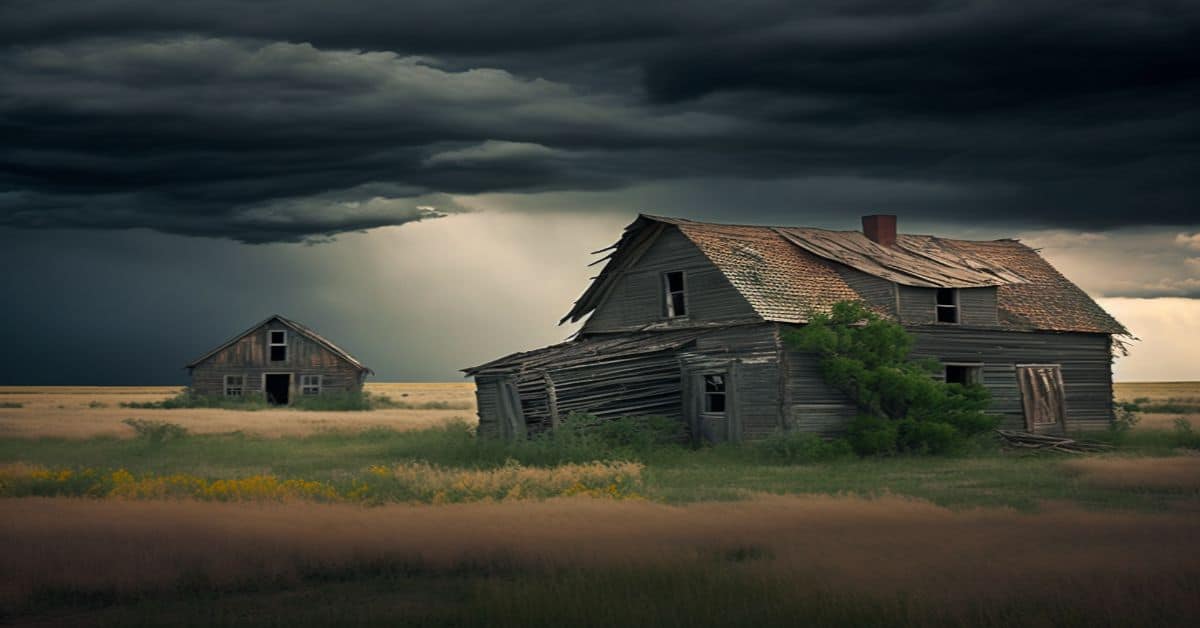
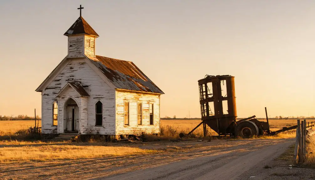
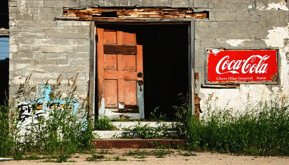
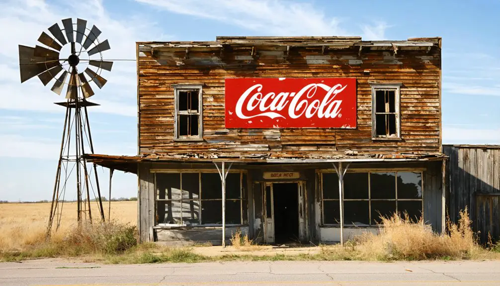
There are many things to say about the state of Oklahoma. You can read about its weather, music, or food culture. You can even hear about how the state on a map looks like a thumbs-up turned 90 degrees. Still, you may find Oklahoma ghost towns far more interesting among all the exciting things to learn.
There are 291 ghost towns in Oklahoma. Oklahoma is full of barren, neglected, abandoned, or semi-abandoned places. Some of its ghost towns are even considered historical communities.
Oklahoma was the 46th state to join the United States on November 16, 1907. It is one of the states located right in the middle of the 100th meridian west, which is the longitude dividing the east from the west.
It also shows where the humid continental and subtropical climates end and the semi-arid begin. It does make it sound like it has the best of two sides. Besides this fascinating fact about the state, let’s see four of the most interesting ghost towns it has.
Texola, Oklahoma
Texola is a ghost town that has been abandoned throughout the years, but some people still live there. It is located in Beckham County, Oklahoma, and since this town is right on the border of Texas and Oklahoma, people were part of each state at some point in time without ever having to move. It is only 7 miles away from the closest city, Erick, to the east.
No record of when the town was officially founded, but city structures and site construction began in 1901. Its economy was mainly agricultural, with cotton gins, corn and grist mills, and other businesses.
Some of these businesses were a post office established in 1901, the Choctaw, Oklahoma, and Gulf Railroad, also known as the Choctaw Route; in 1910, a Territorial Jail opened up, and a newspaper, the Texola Herald, which was active from 1902 to 1920.
Route 66 improved the town’s economy, and things like an auditorium and a park were also established. With no one to blame, the population of Texola started to decrease. In 20 years, the town almost doubled its community to about 581 people; by 1980, it had dropped to nearly 106 residents. The last recorded report in 2020 is down to only 35 people.
If you are ever passing through these areas, you may want to check out the one-room Texola Jail and the Magnolia Service Station on Route 66.
Picher, Oklahoma
Picher is a town located in Ottawa County, Oklahoma. The closest city to Picher would be Cardin, only 2.1 miles to the southwest. This town was established as a result of mining in the area.
The Tri-State district was a lead-zinc mining district located in Missouri, Kansas, and Oklahoma. Once they discovered these metals, mining started overnight, and so did the community.
The town was named after O. S. Picher, owner of the Picher Lead Company. Even though mining started in 1913, the city was not incorporated until five years later.
Within 20 years, Picher’s population had reached over 14,000 residents as this town was one of the area’s most prolific lead-zinc mining territories. Due to the pollution, in 1983, Picher and part of Cardin were declared a superfund location. Today, it is referred to as the Tar Creek Superfund site.
After 50 years, mining stopped in Picher, although it doesn’t state why it might be related to how polluted the town had become. The mining that was done during all this time left behind contaminated chat piles, and all these elements and metals affected the town’s water resources and the soil.
Another mining issue showed up in a study conducted by the Army Corps of Engineers in 2006. Buildings were at risk of giving at any moment due to the weekend ground from extensive mining. Safety concerns for the town and its residents moved the government to issue an evacuation notice and close access to Picher.
Some residents ignored the evacuation order and remained in the declining town. Soon after most residents relocated, a tornado struck the city, killing eight and injuring several more. The damage done to homes and buildings was devastating.
In 2009, both the school and the post office closed. The remaining residents received checks for relocation as the city had been officially marked as too deadly to be inhabitable.
Byron, Oklahoma
Byron is a ghost town in Alfalfa County, Oklahoma, with the closest city being Burlington, 7.5 miles away. The city was named Byron by the first person to receive a postal designation in 1898, but it wasn’t until 1907 that the city became part of its current county.
Although the town had been registered in a geographical directory, it took a while for the location to develop since it didn’t have a railroad yet. In April of 1901, W. C. Edwards purchased some land close by, making the people from that area move their business to the new town. Additionally, a grain elevator was constructed, predicting the Orient Railroad would go through town.
After the railroad was established, the town’s economy prospered. A bank, newspapers, a church, hardware stores, general stores, a blacksmith, and a flour mill were among the businesses in town. Its primary source was agriculture, with the harvesting of alfalfa and wheat, but the Great Depression in 1929 caused a decline as agricultural prices went down.
There was a shift on the political side when five women became part of the town’s board. Among the positive applied changes, they paid the town’s debt and started selling electricity to its community. By 1942, the railroad abandoned the line, taking little by little the people and their businesses elsewhere.
In the 1960s, neighboring cities like Burlington, Driftwood, Amorita, and Bryon decided to have only one school for students in these towns. They settled in Burlington, causing even more people to leave Byron.
In 1930 the town only had 197 inhabitants; from then on, it started to go down until the 2010 census, when they could only find 35 residents living in the land.
Doaksville, Oklahoma
Doaksville was a settlement located in the current Choctaw County, Oklahoma. Its closest city was Fort Town, only 1.4 miles away to the south. It was built between 1824 and 1831 by people from an Indian Choctaw tribe who were forced to relocate.
By 1840, Doaksville already had many stores, a gristmill, a blacksmith, a physician, a tavern, a wagon maker, a church, and a hotel. Then in 1840, a post office was established in the town.
The post office did not stop at mail distribution but continued to grow until acquiring multiple local newspapers; one even printed in the Choctaw’s language. Even though it was named Doaksville, this town was better known as the Choctaw Nation.
The settlement started thriving when the U.S. Army established Fort Towson in 1824, but it declined once they left in 1854. The war destroyed agricultural production, and when the railroad decided to skip this town altogether, it caused most businesses to move to Fort Towson, which had the railroad line.
The last business to remain open was the post office until 1903. Today, the only thing left is the cemetery.
Conclusion
A ghost town is more than an empty location. Ghost towns contain history, stories, memories, celebrations, and losses. The economy is the main reason a city loses its strength, and when things like natural disasters or war happen, it is sometimes unexpected but challenging to avoid.
When towns don’t get a chance to advance, people are forced to move to a different settlement to improve and exploit their resources.


