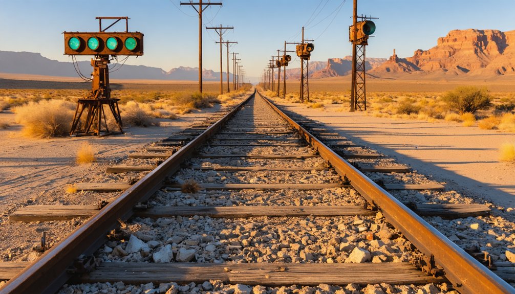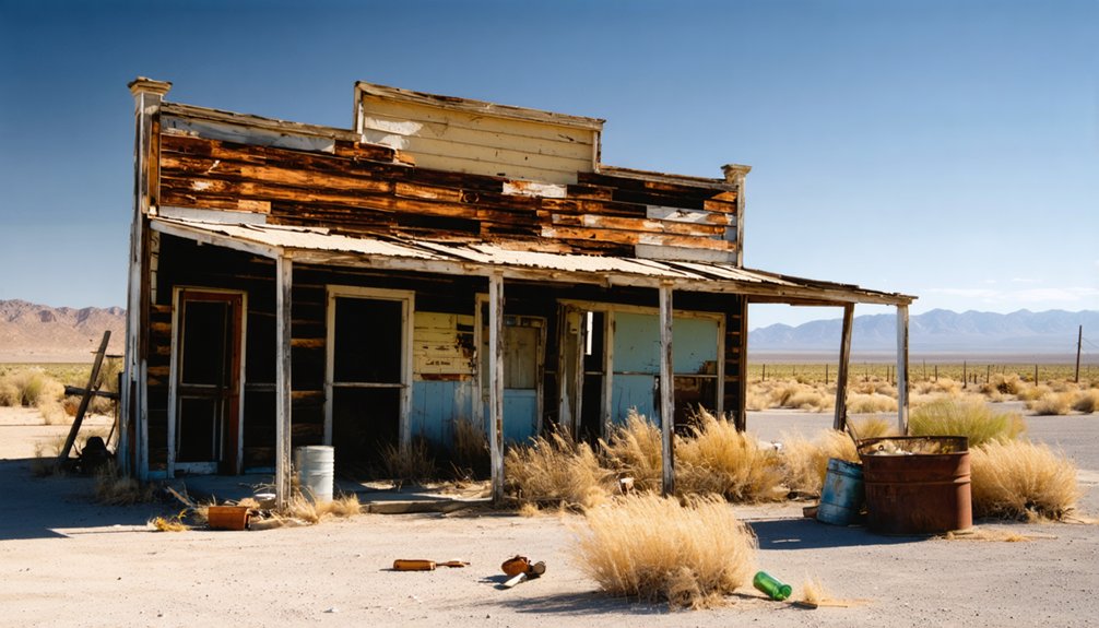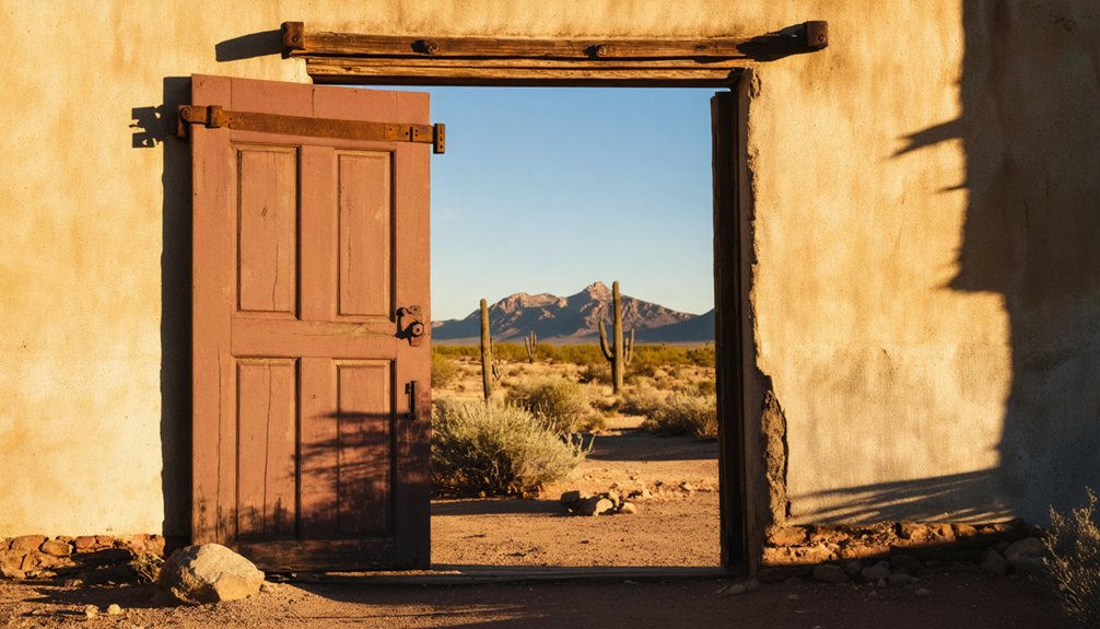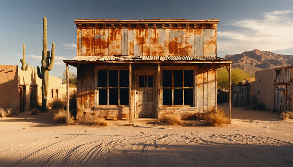
Planning a ghost town road trip to Alto, Arizona means venturing deep into the Santa Rita Mountains, where crumbling adobe ruins and a standing 1907 post office tell the story of a silver boomtown that once drew hundreds of prospectors. You’ll need a high-clearance vehicle, solid navigation tools, and the right season to make it safely. From mining history to nearby colonial landmarks, Alto’s forgotten landscape holds far more than it first reveals.
Key Takeaways
- Alto, Arizona, is a remote ghost town in the Santa Rita Mountains, best accessed via Salero Road or Forest Service Road 143 from Tubac.
- The final 0.7 miles require a high-clearance or 4WD vehicle, so plan your transportation accordingly.
- Visit during fall, winter, or spring to avoid summer heat, monsoons, and dangerous road conditions.
- Bring water, emergency supplies, offline GPS maps, and sturdy boots, as the area has no cell service.
- Nearby attractions include Tubac Presidio State Historic Park and Tumacacori National Historical Park, perfect for extending your trip.
What Makes Alto, Arizona Worth the Drive?
Alto, Arizona isn’t your typical ghost town — it’s a remote silver boomtown frozen in time, tucked into the steep slopes of the Santa Rita Mountains in Santa Cruz County. Spanish Jesuits first discovered mineral deposits here in 1687, giving the site genuine archaeological significance that stretches centuries before American settlers arrived.
By the early 1900s, nearly 500 residents called this rugged mountain community home, working mines that pulled silver, lead, copper, and gold from the earth. Local legends trace the land’s history through Apache raids, Spanish missionaries, and determined pioneers who carved life from unforgiving terrain.
Today, adobe ruins, a standing post office, and a small cemetery reward travelers who make the journey. If you crave wide-open wilderness and raw history, Alto delivers both without compromise.
Alto’s Mining Boom and Why the Town Was Abandoned
When you look into Alto’s past, you’ll find a classic boom-and-bust story fueled by rich deposits of silver, lead, copper, and gold. Mining operations peaked between 1875 and 1880, producing ore with 12% lead and 14 ounces of silver per ton.
This drew hundreds of settlers to these remote Santa Rita Mountains. By the 1930s, the Alto Consolidated Mines had exhausted their yields. The post office closed in 1933, and the town’s roughly 500 residents scattered, leaving behind only adobe ruins and silence.
Silver and Lead Boom
Though Spanish Jesuits first caught wind of the area’s mineral potential back in 1687, it wasn’t until Mark Lully rediscovered the deposits in 1875 that Alto’s mining boom truly ignited.
Local legends say the mountains practically glittered with promise, and early mining techniques quickly discovered their wealth. Here’s what made the boom remarkable:
- Silver yields reached 14 ounces per ton
- Lead content hit an impressive 12% per ton
- Gold, copper, and silver diversified the town’s economic foundation
- The Alto Consolidated Mines kept operations running until the 1930s
You’re looking at a five-decade run of serious extraction that built an entire mountain community. When the ore dried up, so did Alto’s reason for existing — and the town quietly surrendered to the wilderness.
Mining Decline and Abandonment
By the 1930s, the ore had run dry, and Alto’s fate was sealed. The Alto Consolidated Mines, which had churned out impressive yields of silver, lead, and copper since 1875, finally went silent.
Without mining, there was no reason to stay, and the population of roughly 500 simply vanished into the surrounding wilderness.
What’s left behind tells the story better than any textbook. You’ll find historical artifacts scattered across the landscape — crumbling foundations, adobe ruins, and a former post office that closed its doors in 1933.
Local legends of Apache raids and Spanish Jesuit explorers add layers to the silence you’ll experience standing there.
Alto didn’t die dramatically; it just quietly exhaled, leaving you to piece together its remarkable past.
The Two Routes Into Alto and Which One to Take
Getting to Alto isn’t a casual Sunday drive — two routes will take you there, and each comes with its own set of challenges. Whether you’re chasing local legends or scoping out hiking trails, your path matters.
Route 1 (Easier): Take Salero Road from Patagonia to Forest Service Road 143 — rough but manageable.
Route 2 (Rougher): Forest Service Road 143 from Mt. Hopkins Road east of Tubac — 15 miles of bumpy arroyos that’ll test your suspension.
Vehicle requirement: High-clearance or 4WD is essential for the final 0.7 mile into Alto.
Essential gear: Pack water, snacks, and emergency supplies — cell service vanishes and gas stations don’t exist out here.
Choose Route 1 if you’re uncertain; choose Route 2 if you’re hungry for adventure.
What Vehicle You Actually Need for Alto’s Roads?
Alto’s roads don’t forgive underestimating them — if you’re planning this trip, you’ll need a high-clearance or 4WD vehicle for the final 0.7-mile stretch into town. Road conditions along both routes include wash crossings, deep ruts, narrow shelf roads, and rough arroyos that’ll punish low-clearance vehicles fast.
If you’re only heading as far as Salero, a 2WD can manage during dry weather, but don’t push that luck when moisture’s involved.
Before you leave, prioritize vehicle maintenance — check your tires, brakes, and fluid levels, because breakdown assistance isn’t coming out here. Cell service disappears, and no gas stations exist along the route.
Your vehicle’s reliability isn’t optional; it’s your lifeline into Arizona’s remote wilderness and your ticket back out.
The Best Time of Year to Visit Alto, Arizona?
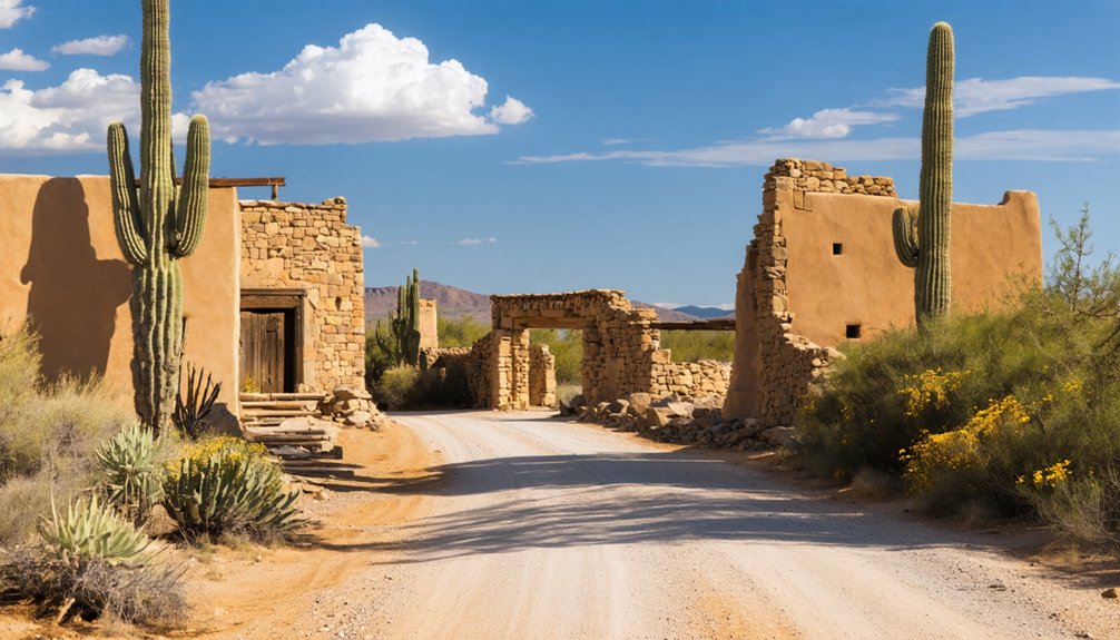
You’ll want to plan your Alto visit for fall, winter, or spring, when temperatures stay manageable and the roads hold their shape. Arizona summers bake the high desert and can make the journey physically miserable, so skip June through August unless you enjoy suffering for scenery.
Wet weather is your bigger threat year-round, as those narrow shelf roads and wash crossings turn genuinely dangerous when rain moves through the Santa Ritas.
Ideal Visiting Seasons
Because Alto sits high in the Santa Rita Mountains, the seasons play a major role in determining whether your visit is a scenic adventure or a white-knuckle ordeal. Locals share folklore traditions and local legends best explored when the trails are dry and the air is crisp. Plan your trip around these ideal windows:
- Fall (September–November): Cooler temps, golden light, and dry roads make exploration effortless.
- Winter (December–February): Mild days reward the bold, though occasional snow can close routes.
- Spring (March–May): Wildflowers bloom, and comfortable temperatures invite longer hikes.
- Summer (June–August): Avoid it — monsoons flood washes, and heat punishes unprepared travelers.
Choose wisely, pack smart, and Alto’s rugged beauty rewards you generously.
Weather Hazards To Avoid
Knowing the best seasons to visit is only half the battle — understanding what specific weather hazards can derail your trip keeps you from becoming another cautionary tale. Summer monsoons transform Alto’s wash crossings into raging torrents, swallowing roads and cutting off access entirely. Those narrow shelf roads become slick, unstable nightmares in wet conditions — no place to discover that your tires can’t grip loose mud while historical artifacts and local legends wait somewhere above you.
Winter snowfall occasionally blankets the Santa Rita Mountains, making the final 0.7-mile high-clearance stretch genuinely treacherous. Flash floods arrive without warning, so check forecasts obsessively before departing. Your freedom to explore depends entirely on respecting Arizona’s wildly unpredictable weather patterns — the wilderness won’t apologize for catching you unprepared.
The Ruins, Cemetery, and Structures Still Standing at Alto
Although Alto has largely surrendered to time, a handful of remnants still tell its story. You’ll find scattered foundations, adobe ruins, and quiet corners loaded with archaeological significance. No formal markers guide you, so bring your GPS and your curiosity.
Here’s what you can still discover:
- Bond Home Ruins – Adobe walls that once sheltered a pioneer family now stand as a raw testament to frontier life.
- Post Office Structure – The only building still standing, operating from 1907 until 1933.
- Small Cemetery – A sobering, intimate space where local legends and real lives intersect.
- Mine Foundations – Scattered remnants of the shafts and operations that once drove a silver boomtown.
Explore freely, but tread respectfully — this land holds real history.
What to Pack for Alto’s Remote Desert Terrain
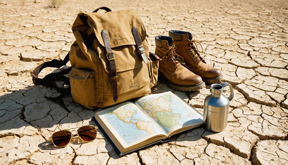
Alto doesn’t forgive the unprepared. You’re heading into remote Santa Rita Mountain terrain where cell service vanishes and gas stations don’t exist. Pack more water than you think you’ll need, plus snacks, a first aid kit, and emergency supplies before you leave civilization behind.
Bring sturdy hiking boots for navigating rocky foundations and uneven ground. A camera rewards you with stunning high desert panoramas and unexpected wildlife spotting opportunities among the rugged landscape. Trekking poles help on steep sections where the mountainside earns Alto its name.
Dress in layers since temperatures shift quickly at elevation. Study the local flora beforehand so you recognize what’s native versus invasive across the trail. Finally, download offline GPS maps because paper navigation skills matter when you’re genuinely off the grid.
Nearby Ghost Towns and Historic Sites Worth Adding to the Trip
Since you’re already exploring the back roads of Santa Cruz County, you’d be foolish not to extend the adventure to nearby Tubac, one of Arizona’s oldest European settlements.
Since you’re already here, you’d be foolish not to push a little further into Santa Cruz County’s storied back roads.
Spanish colonial history bleeds into art galleries and adobe architecture just a short drive from Alto’s trailhead. The surrounding region rewards curious travelers with local legends, ghost stories, and genuine frontier history.
Don’t leave without hitting these stops:
- Tubac Presidio State Historic Park – Arizona’s oldest state park, packed with Spanish colonial artifacts
- Patagonia – A quirky artist town with mining-era roots and great food
- Tumacacori National Historical Park – Hauntingly beautiful Spanish mission ruins
- Salero Ranch Area – Scattered remnants and untamed landscape connecting directly to Alto’s history
Frequently Asked Questions
What Was Alto Originally Named Before It Was Renamed?
You’ll find that Alto was originally named El Plomo, meaning “lead” in Spanish! Diving into Alto history facts reveals this ghost town attraction earned its rename due to its dramatically steep mountainside location.
Who First Discovered Mineral Deposits in Alto’s Area?
You’ll find that Spanish Jesuits kickstarted Alto’s prospecting history when they first uncovered mineral deposits in 1687, making their mineral discovery a remarkable proof to centuries of exploration in Arizona’s untamed Santa Rita Mountains.
How Many Residents Did Alto Have at Its Peak Population?
At its peak, you’d have found around 500 residents calling Alto home in the early 1900s. Ghost town tourism lets you explore this historical preservation gem, where miners and pioneers once built a thriving mountain community.
When Was Alto’s Post Office Established and When Was It Discontinued?
You’ll find Alto’s post office, one of its most cherished historic landmarks, was established in 1907 and discontinued in 1933. It’s a place where local legends and frontier freedom once thrived together.
Is There Any Documented Paranormal Activity Reported at Alto?
Like a quiet grave with no restless spirits, Alto holds no haunted legends. You’ll find no paranormal investigations here — historical records confirm zero documented ghostly encounters, leaving only silent ruins and sun-bleached memories to explore freely.
References
- https://en.wikipedia.org/wiki/Alto
- https://www.youtube.com/watch?v=nTdyOGjxGjY
- https://www.thedieselapartment.com/southern-arizona-ghost-town-alto-camp/
- https://kids.kiddle.co/Alto
- https://www.ghosttowns.com/states/az/alto.html
- https://www.youtube.com/watch?v=Lim9xbgYKGo
- https://en.wikipedia.org/wiki/List_of_ghost_towns_in_Arizona
- https://www.youtube.com/watch?v=ZrpN1qcm61o